2010s Maps of Appomattox County, Virginia
Explore 56 historic maps of Appomattox County from the 2010s. These maps offer a rare glimpse into what life looked like during the 2010s — showing old roads, neighborhoods, homes, and landmarks that have changed or disappeared over time.
Whether you're researching your family's past, planning a metal detecting trip, or studying how Appomattox County's landscape evolved across the 2010s, these high-resolution maps are a powerful tool for exploring the history of this region.
- Focus on a specific era: All maps on this page are from the 2010s, giving you a focused view of this time period.
- See what’s changed: Compare century-old streets, trails, and buildings to today's modern landscape using overlays and satellite layers.
- Research with precision: Use these maps for genealogy, historical research, land use analysis, or educational projects.
- View, download, or print: Maps are fully viewable online in high resolution, and can be downloaded or printed for your own records.
Start exploring Appomattox County's history through authentic maps from the 2010s. This is your window into the past.
Appomattox County, VA maps
(56)- 2010 Map of Appomattox, 2010 Print
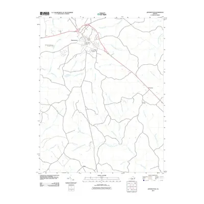 2010 Appomattox2010 Print · USGSAppomattox and its surrounding Virginia countryside are documented here in the early twenty-first century. Researchers can trace local genealogy and land use through features like the Appomattox Cemetery, the settlement at Evergreen, and the Appomattox Post Office.
 - 2010 Map of Concord, 2010 Print
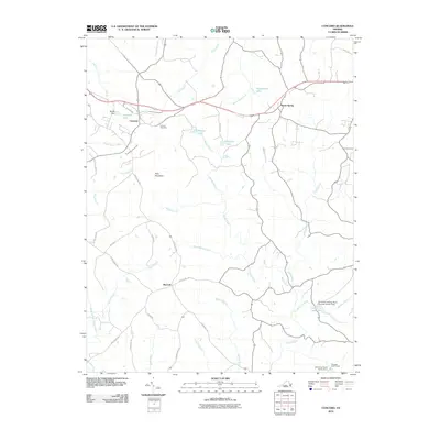 2010 Concord2010 Print · USGSThe rural Virginia landscape around Concord is captured in the early twenty-first century, showing a region shaped by its waterways and small junctions. Family historians and researchers can trace the paths of Spring Mill Rd, locate the Concord Cemetery, or find landmarks like Pilot Mountain and Spout Spring.
 - 2010 Map of Kelly, 2010 Print
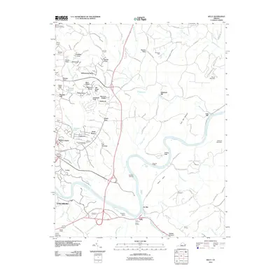 2010 Kelly2010 Print · USGSThe James River corridor in Amherst County appears here in the early twenty-first century, showing the intersection of industrial heritage and modern growth. Genealogists can trace family sites at Megginson Cemetery or locate historic landmarks like Oxford Furnace and Galts Mill.
 - 2010 Map of Madisonville, 2010 Print
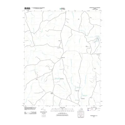 2010 Madisonville2010 Print · USGSCentral Charlotte County comes into focus in the early 21st century, showing a rural landscape defined by creek headwaters and upland ridges. Genealogists can locate family sites at Mount Lyle Cemetery or Oaks Cemetery while tracing landmarks like Wards Fork Mill.
 - 2010 Map of Prospect, 2010 Print
 2010 Prospect2010 Print · USGSPrince Edward County's rural character is preserved in this 2010 survey of the settlements and waterways east of Appomattox. Researchers can locate specific family burial sites like Sulphur Spring Cemetery and trace historical river crossings at Beazley Ford.
 - 2010 Map of Mike, 2010 Print
 2010 Mike2010 Print · USGSAppomattox County's rural interior is documented here in the early twenty-first century, showing a landscape defined by the Falling River watershed. Researchers can locate family landmarks such as Morris Church and trace old routes like Nowlins Mill Rd near the communities of Spring Mills and Mike.
 - 2010 Map of Pamplin, 2010 Print
 2010 Pamplin2010 Print · USGSThis part of Prince Edward County in 2010 reveals a landscape of enduring rural crossroads and protected forests. Researchers can trace the layout of small communities like Shields and Flood, or follow the winding Appomattox River as it passes near Hixburg.
 - 2010 Map of Andersonville, 2010 Print
 2010 Andersonville2010 Print · USGSBuckingham County's interior at the start of the 2010s reveals a landscape of protected forests and quiet crossroads. Genealogists and hikers can trace old routes near Bethel Cemetery, find crossings at Cut Banks Ford, or explore the heights of Woods Mountain.
 - 2010 Map of Red House, 2010 Print
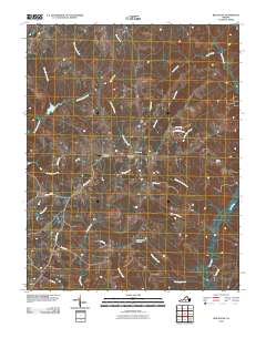 2010 Red House2010 Print · USGSRed House and its surrounding farmstead landscape are captured in the early 21st century, showing the enduring rural character of Charlotte County. Researchers can locate the Red House Post Office, trace family roots at Whites Chapel Cemetery, and explore the drainage of Turnip Creek.
 - 2010 Map of Vera, 2010 Print
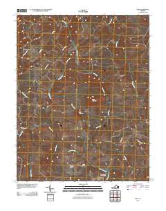 2010 Vera2010 Print · USGSAppomattox County at the start of the twenty-first century reveals a landscape defined by the Appomattox River and its rural crossroads. Researchers can trace family history at the Patterson-Hix Burial Ground or locate the community centers of Oakville and Vera.
 - 2010 Map of Stonewall, 2010 Print
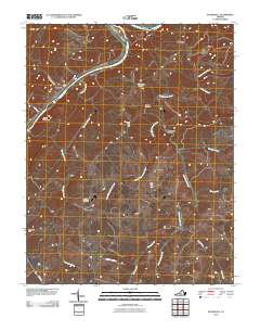 2010 Stonewall2010 Print · USGSAppomattox County in the early twenty-first century remains a landscape of historic river settlements and rural crossroads. Local historians can trace the evolution of Stonewall Mills and locate family burial grounds at Mount Zion Cemetery or Rebecca Cemetery.
 - 2010 Map of Buffalo Ridge, 2010 Print
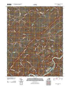 2010 Buffalo Ridge2010 Print · USGSAmherst County at the start of the twenty-first century reveals a landscape shaped by river systems and upland ridges. Researchers can trace historic river crossings and rural homesteads near Walkers Ford, Riverville, and the landmark Buffalo Ridge.
 - 2010 Map of Holiday Lake, 2010 Print
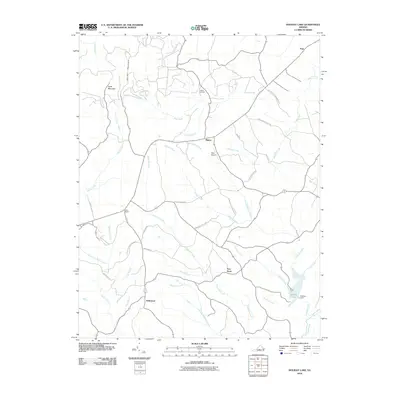 2010 Holiday Lake2010 Print · USGSAppomattox County at the start of the 2010s reveals a landscape of state forests and quiet crossroads settlements. Genealogists and researchers can trace the roads around Hollywood, Toga, and Rose Bower, or locate the Mann Cemetery near the Slate River headwaters.
 - 2010 Map of Gladstone, 2010 Print
 2010 Gladstone2010 Print · USGSThe James River corridor in Nelson County is captured here in the early 2000s, showing a landscape defined by ridgelines and river-bottom settlements. Researchers can trace the layout of Gladstone, the community of Bent Creek, and rural landmarks like Buffalo Springs.
 - 2013 Map of Kelly, 2013 Print
 2013 Kelly2013 Print · USGSMadison Heights and the surrounding Amherst County hills are documented here in the early twenty-first century as suburban growth meets river history. Trace the landscape from the James River banks at Oxford Furnace to landmarks like Joshua Falls and Mount Athos.
 - 2013 Map of Gladstone, 2013 Print
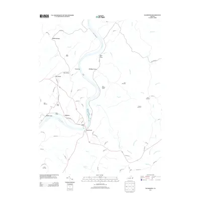 2013 Gladstone2013 Print · USGSThe James River valley and the foothills of the Blue Ridge appear in great detail during the early 2010s. Genealogists and local historians can trace family-named sites like Bible Ridge, Eldridge Corner, and the riverside hamlet of Gladstone.
 - 2013 Map of Andersonville, 2013 Print
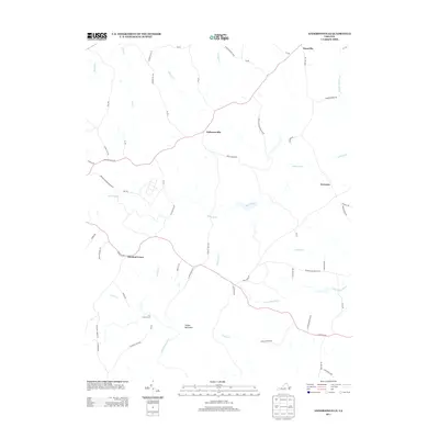 2013 Andersonville2013 Print · USGSBuckingham County's rural character is preserved in this recent survey of the lands between the Willis and Appomattox Rivers. Researchers can trace old routes and river crossings such as Banks Ford, the heights of Woods Mountain, and the small crossroads of Enonville.
 - 2013 Map of Concord, 2013 Print
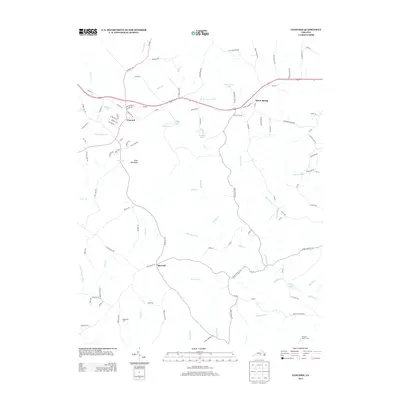 2013 Concord2013 Print · USGSCampbell County’s rural landscape is captured here in the early twenty-first century, centered on the historic community of Concord. Researchers can trace the local water network and landmarks such as Pilot Mountain, Spout Spring, and Peaceland Farm.
 - 2013 Map of Stonewall, 2013 Print
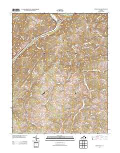 2013 Stonewall2013 Print · USGSThe James River corridor in Appomattox County retained its rural character and small-town footprints in the early 2010s. Researchers can trace family-named roads and early community centers like Stonewall Mills, Beckham, and Skovhus Airport.
 - 2013 Map of Holiday Lake, 2013 Print
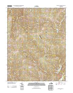 2013 Holiday Lake2013 Print · USGSCentral Virginia’s rural heartland is detailed here in the early twenty-first century, showcasing the managed timberlands and creek valleys of Appomattox County. Genealogists and hikers can trace the roads connecting Hollywood, Toga, and Sliders or explore the shores of Holiday Lake.
 - 2013 Map of Prospect, 2013 Print
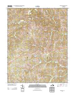 2013 Prospect2013 Print · USGSIn the heart of Southside Virginia, this survey captures the rural character of Prince Edward County as the modern highway system matured. Genealogists and historians can trace local family landmarks and water crossings like Beazley Ford, Allens Mill, and Venables Bridge.
 - 2013 Map of Pamplin, 2013 Print
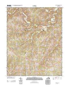 2013 Pamplin2013 Print · USGSThe Appomattox River valley in central Virginia remains a landscape of quiet crossroads and family-named homesteads in this 2013 survey. Genealogists and local historians can trace the rural layout of Pamplin, Shields, and the timberlands of the Appomattox Buckingham SF.
 - 2013 Map of Red House, 2013 Print
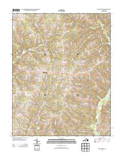 2013 Red House2013 Print · USGSVirginia's Southside landscape at the start of the 2010s reveals a rural network of family farms and creek-side settlements. Genealogists and local historians can trace legacy properties along Marston Farm Ln or locate landmarks like Red House, Rolling Hill, and the Redhouse Airfield.
 - 2013 Map of Vera, 2013 Print
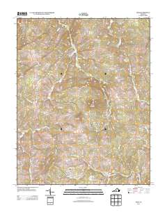 2013 Vera2013 Print · USGSAppomattox County's rural landscape is captured here in the early twenty-first century, showcasing the crossroads communities of Oakville and Vera. Genealogists and local historians can trace the paths to historic industry via Old Grist Mill Rd and Megginson Mill Rd near the Appomattox River.
 - 2013 Map of Mike, 2013 Print
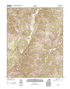 2013 Mike2013 Print · USGSThe rural landscape of Appomattox County is mapped here in the early twenty-first century, centered on the Falling River headwaters. Researchers can trace the legacy of old community hubs through landmarks like Spring Mills, Mike, and Red Oak School Rd.
Showing maps 1-25 of 56
Top cities of Appomattox County
Frequently asked questions
- What are the different types of historical maps available for Appomattox County?
- What is the oldest map of Appomattox County?
- Where can I purchase historical maps of Appomattox County for my home or office?
- Where can I download high-res historical maps of Appomattox County?
- Are there historical topographic maps available for Appomattox County?
- Is there historical aerial imagery available for Appomattox County?
- Where are historical maps of Appomattox County sourced from?