2000s (21st Century) Maps of Alberta, Virginia
Explore 10 historic maps of Alberta from the 2000s (21st Century). These maps offer a rare glimpse into what life looked like during the 2000s — showing old roads, neighborhoods, homes, and landmarks that have changed or disappeared over time.
Whether you're researching your family's past, planning a metal detecting trip, or studying how Alberta's landscape evolved across the 2000s, these high-resolution maps are a powerful tool for exploring the history of this region.
- Focus on a specific era: All maps on this page are from the 2000s, giving you a focused view of this time period.
- See what’s changed: Compare century-old streets, trails, and buildings to today's modern landscape using overlays and satellite layers.
- Research with precision: Use these maps for genealogy, historical research, land use analysis, or educational projects.
- View, download, or print: Maps are fully viewable online in high resolution, and can be downloaded or printed for your own records.
Start exploring Alberta's history through authentic maps from the 2000s. This is your window into the past.
Alberta, VA maps
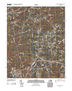
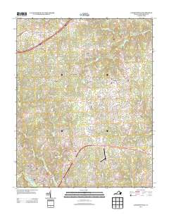
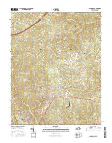
(10)- 2010 Map of Alberta, 2010 Print
 2010 Alberta2010 Print · USGSCovers Alberta, including Grandy, Meredithville, and other nearby areas
 - 2010 Map of Lawrenceville, 2010 Print
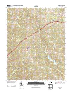
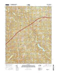
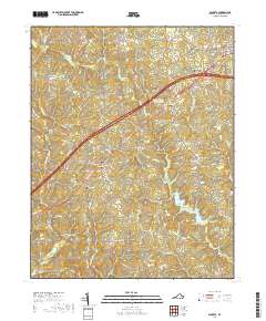
 2010 Lawrenceville2010 Print · USGSCovers Alberta, including Lawrenceville, Dolphin, and other nearby areas
 - 2013 Map of Lawrenceville, 2013 Print
 2013 Lawrenceville2013 Print · USGSCovers Alberta, including Lawrenceville, Dolphin, and other nearby areas
 - 2013 Map of Alberta, 2013 Print
 2013 Alberta2013 Print · USGSCovers Alberta, including Grandy, Meredithville, and other nearby areas
 - 2016 Map of Alberta, 2016 Print
 2016 Alberta2016 Print · USGSCovers Alberta, including Grandy, Meredithville, and other nearby areas
 - 2016 Map of Lawrenceville, 2016 Print
 2016 Lawrenceville2016 Print · USGSCovers Alberta, including Lawrenceville, Dolphin, and other nearby areas
 - 2019 Map of Alberta, 2019 Print
 2019 Alberta2019 Print · USGSCovers Alberta, including Grandy, Meredithville, and other nearby areas
 - 2019 Map of Lawrenceville, 2019 Print
 2019 Lawrenceville2019 Print · USGSCovers Alberta, including Lawrenceville, Dolphin, and other nearby areas
 - 2022 Map of Lawrenceville, 2022 Print
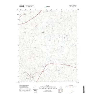
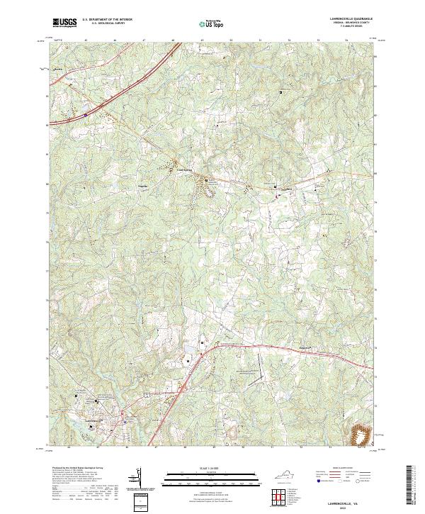 2022 Lawrenceville2022 Print · USGSBrunswick County serves as the backdrop for this detailed study of the area near the state's southern border. Researchers can trace family history through sites like Oakwood Cem or explore early crossroads at Dolphin and Cool Spring.
 - 2022 Map of Alberta, 2022 Print
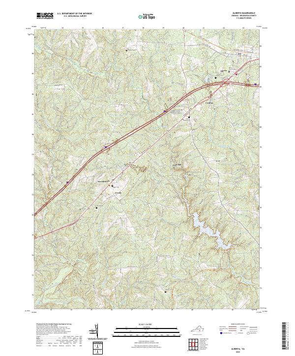 2022 Alberta2022 Print · USGSIn the heart of Brunswick County, this modern survey tracks the enduring rural settlements and historic road networks near Alberta. Genealogists and historians can trace family burial sites like Laffoon Cem and the small hamlets of Meredithville and Cochran.
End of results
Showing maps 1-10 of 10
Top cities near Alberta
- South Hill historical maps
- Blackstone historical maps
- Kenbridge historical maps
- Lawrenceville historical maps
- La Crosse historical maps
- McKenney historical maps
See more
Top neighborhoods of Alberta
Frequently asked questions
- What are the different types of historical maps available for Alberta?
- What is the oldest map of Alberta?
- Where can I purchase historical maps of Alberta for my home or office?
- Where can I download high-res historical maps of Alberta?
- Are there historical topographic maps available for Alberta?
- Is there historical aerial imagery available for Alberta?
- Where are historical maps of Alberta sourced from?