2000s (21st Century) Maps of Buckingham County, Virginia
Explore 100 historic maps of Buckingham County from the 2000s (21st Century). These maps offer a rare glimpse into what life looked like during the 2000s — showing old roads, neighborhoods, homes, and landmarks that have changed or disappeared over time.
Whether you're researching your family's past, planning a metal detecting trip, or studying how Buckingham County's landscape evolved across the 2000s, these high-resolution maps are a powerful tool for exploring the history of this region.
- Focus on a specific era: All maps on this page are from the 2000s, giving you a focused view of this time period.
- See what’s changed: Compare century-old streets, trails, and buildings to today's modern landscape using overlays and satellite layers.
- Research with precision: Use these maps for genealogy, historical research, land use analysis, or educational projects.
- View, download, or print: Maps are fully viewable online in high resolution, and can be downloaded or printed for your own records.
Start exploring Buckingham County's history through authentic maps from the 2000s. This is your window into the past.
Buckingham County, VA maps
(100)- 2010 Map of Howardsville, 2010 Print
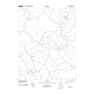 2010 Howardsville2010 Print · USGSThe James River corridor in central Virginia comes into focus during the early twenty-first century, showing a landscape shaped by river bends and rural settlements. Genealogists and local historians can locate Liberty Hall Cemetery, the Howardsville Post Office, and river-side hamlets like Warminster and Wingina.
 - 2010 Map of Lakeside Village, 2010 Print
 2010 Lakeside Village2010 Print · USGSFluvanna County's riverfront and rural interior are captured here in the early twenty-first century as the landscape transitioned toward recreation and residential life. Researchers can locate family landmarks like Little Fork Cemetery or trace the water systems of Trice Lake and Trenton Mills.
 - 2010 Map of Hillcrest, 2010 Print
 2010 Hillcrest2010 Print · USGSCumberland County at the start of the decade reveals a rural landscape defined by the Willis River and family-held land. Genealogists and local historians can trace legacy sites like Guinea Mills, Antioch Cemetery, and the crossroads of Cotton Town.
 - 2010 Map of Gold Hill, 2010 Print
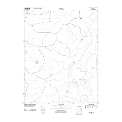 2010 Gold Hill2010 Print · USGSCumberland County’s rural landscape is captured here in the early twenty-first century, showcasing a network of historic river-valley settlements. Researchers can trace family sites near Trents Mill, Gold Hill, and Nuckols, or locate the Cornerstone Cemetery and County Cemetery.
 - 2010 Map of Esmont, 2010 Print
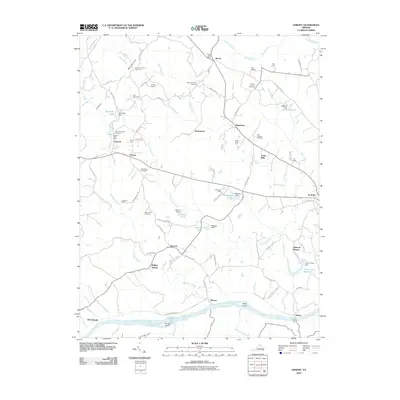 2010 Esmont2010 Print · USGSThe James River valley south of Charlottesville appears here during a period of preserved rural character and historic estate farming. Researchers can locate numerous family burial sites like the Van Clief Family Cemetery and trace river landmarks such as Hattons Ferry and Rock Island.
 - 2010 Map of Buckingham, 2010 Print
 2010 Buckingham2010 Print · USGSBuckingham County's rural landscape is captured here in the early twenty-first century, centered on the crossroads at Buckingham. Researchers can locate several historic burial sites like Enon Cemetery and trace the legacy of industry at Slate River Mills.
 - 2010 Map of Saint Joy, 2010 Print
 2010 Saint Joy2010 Print · USGSSaint Joy and Buckingham County appear here in the early 21st century, showing a landscape defined by rural crossroads and winding creek beds. Researchers can locate Saint Joy Cemetery or trace the many branches of Walton Fork and Mathews Creek.
 - 2010 Map of Prospect, 2010 Print
 2010 Prospect2010 Print · USGSPrince Edward County's rural character is preserved in this 2010 survey of the settlements and waterways east of Appomattox. Researchers can locate specific family burial sites like Sulphur Spring Cemetery and trace historical river crossings at Beazley Ford.
 - 2010 Map of Farmville, 2010 Print
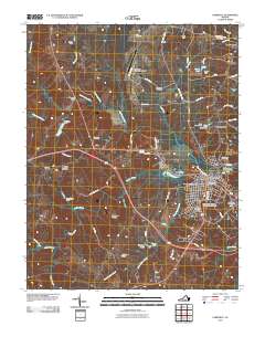 2010 Farmville2010 Print · USGSFarmville and the surrounding Prince Edward County countryside are captured here in the early twenty-first century, centered on the Appomattox River. Researchers can locate historic burial sites like the Confederate Cemetery and trace the outskirts near Tuggle and Raines Tavern.
 - 2010 Map of Andersonville, 2010 Print
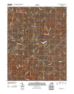 2010 Andersonville2010 Print · USGSBuckingham County's interior at the start of the 2010s reveals a landscape of protected forests and quiet crossroads. Genealogists and hikers can trace old routes near Bethel Cemetery, find crossings at Cut Banks Ford, or explore the heights of Woods Mountain.
 - 2010 Map of Diana Mills, 2010 Print
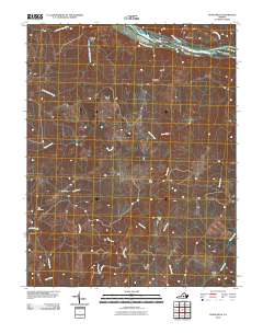 2010 Diana Mills2010 Print · USGSBuckingham County's rural river valleys are captured here in the early twenty-first century as they wrap around the winding Slate River. Local historians can trace family-named landmarks and small hamlets like Well Water, Sunny Side, and the historic Hale Cemetery.
 - 2010 Map of Glenmore, 2010 Print
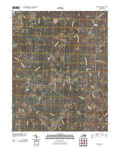 2010 Glenmore2010 Print · USGSBuckingham County in the early twenty-first century remains a landscape of quiet creek valleys and small rural hubs. Genealogists and local historians can trace the geography of old family-named sites such as Smith Store, Paynes Millpond, and Ransons.
 - 2010 Map of Dillwyn, 2010 Print
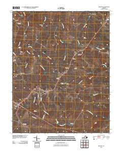 2010 Dillwyn2010 Print · USGSBuckingham County's rural heartland is detailed here in the early twenty-first century, centered on the crossroads of Dillwyn and Sprouses Corner. Genealogists can locate numerous burial sites like Mourning Valley Cemetery and historic points such as Eldridge Mill.
 - 2010 Map of Vera, 2010 Print
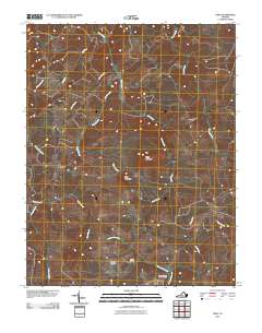 2010 Vera2010 Print · USGSAppomattox County at the start of the twenty-first century reveals a landscape defined by the Appomattox River and its rural crossroads. Researchers can trace family history at the Patterson-Hix Burial Ground or locate the community centers of Oakville and Vera.
 - 2010 Map of Willis Mountain, 2010 Print
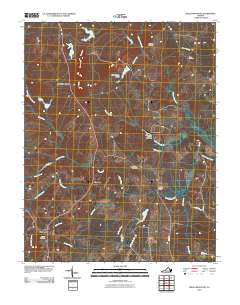 2010 Willis Mountain2010 Print · USGSBuckingham County, Virginia, is shown in the early twenty-first century as a landscape of rural crossroads and river valleys. Genealogists can trace family locations near Smyrna Cemetery or Curdsville, while landmarks like Willis Mountain and Dobsons Bridge anchor the local geography.
 - 2010 Map of Scottsville, 2010 Print
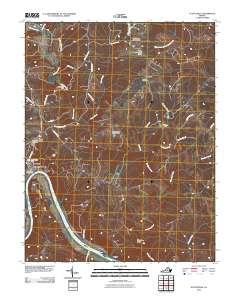 2010 Scottsville2010 Print · USGSThe James River corridor in Albemarle County was well-established by the early 2000s, centered on the riverfront town of Scottsville. Researchers can trace old family sites and rural landmarks like the Jefferson Mill, Antioch Cemetery, and the dramatic Muleshoe Bend.
 - 2010 Map of Arvonia, 2010 Print
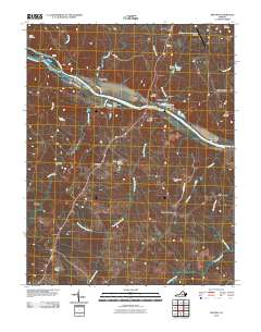 2010 Arvonia2010 Print · USGSBuckingham County at the start of the decade reveals a landscape shaped by the James River and its industrial crossings. Researchers can locate family burial sites like Grace Cemetery and trace local hamlets such as Arvonia, Shores, and Gilliamsville.
 - 2010 Map of Shipman, 2010 Print
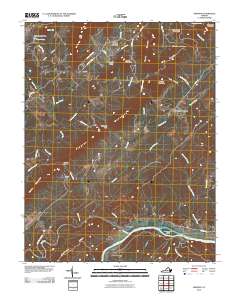 2010 Shipman2010 Print · USGSThe James River and Tye River meet at the historic settlement of Norwood during the early twenty-first century. Genealogists and researchers can trace local family land near Variety Mills, Edge Hill, and the ridges of Buffalo Ridge.
 - 2010 Map of Holiday Lake, 2010 Print
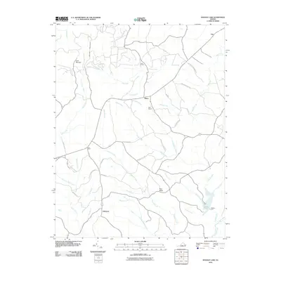 2010 Holiday Lake2010 Print · USGSAppomattox County at the start of the 2010s reveals a landscape of state forests and quiet crossroads settlements. Genealogists and researchers can trace the roads around Hollywood, Toga, and Rose Bower, or locate the Mann Cemetery near the Slate River headwaters.
 - 2010 Map of Gladstone, 2010 Print
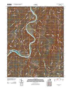 2010 Gladstone2010 Print · USGSThe James River corridor in Nelson County is captured here in the early 2000s, showing a landscape defined by ridgelines and river-bottom settlements. Researchers can trace the layout of Gladstone, the community of Bent Creek, and rural landmarks like Buffalo Springs.
 - 2013 Map of Arvonia, 2013 Print
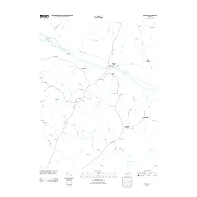 2013 Arvonia2013 Print · USGSBuckingham County's river-linked communities come into focus in this early twenty-first-century survey of the James and Slate River confluence. Researchers can trace the layout of Arvonia, Bremo Bluff, and LeSueur alongside local landmarks like the John H. Cocke Memorial Bridge.
 - 2013 Map of Gladstone, 2013 Print
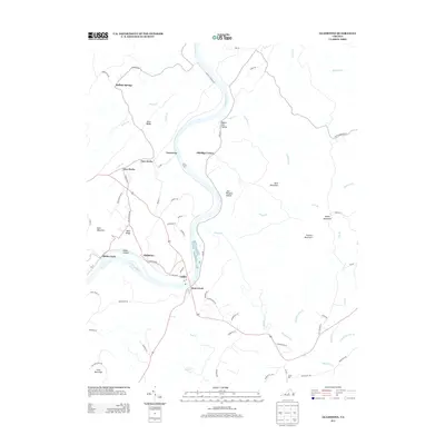 2013 Gladstone2013 Print · USGSThe James River valley and the foothills of the Blue Ridge appear in great detail during the early 2010s. Genealogists and local historians can trace family-named sites like Bible Ridge, Eldridge Corner, and the riverside hamlet of Gladstone.
 - 2013 Map of Shipman, 2013 Print
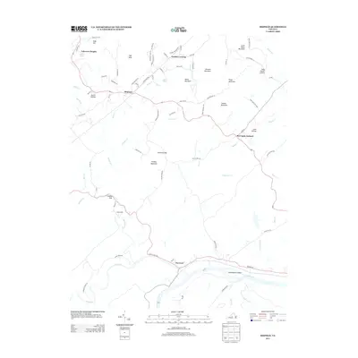 2013 Shipman2013 Print · USGSNelson County's rolling hills and river valleys are captured here in the early twenty-first century as the landscape transitioned toward modern residential growth. Genealogists and hikers can trace the paths through Canada Gap, locate the community at Variety Mills, or explore the banks of the James River near Norwood.
 - 2013 Map of Andersonville, 2013 Print
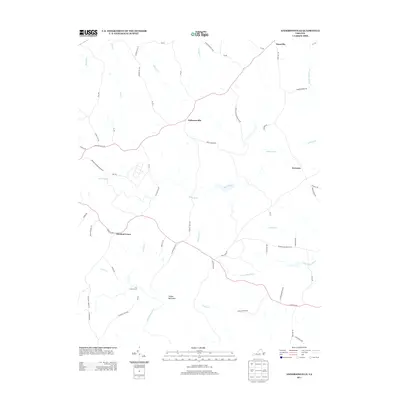 2013 Andersonville2013 Print · USGSBuckingham County's rural character is preserved in this recent survey of the lands between the Willis and Appomattox Rivers. Researchers can trace old routes and river crossings such as Banks Ford, the heights of Woods Mountain, and the small crossroads of Enonville.
 - 2013 Map of Hillcrest, 2013 Print
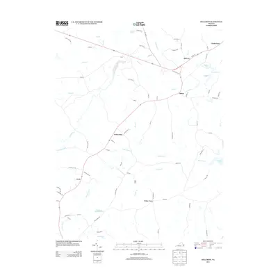 2013 Hillcrest2013 Print · USGSCumberland County’s rural interior is documented in this early 21st-century survey of the Piedmont landscape. Genealogists and local historians can locate small crossroads such as Guinea Mills, Ca Ira, and the Amos Dairy Farm along with the tributaries of the Willis River.
Showing maps 1-25 of 100
Top cities of Buckingham County
Frequently asked questions
- What are the different types of historical maps available for Buckingham County?
- What is the oldest map of Buckingham County?
- Where can I purchase historical maps of Buckingham County for my home or office?
- Where can I download high-res historical maps of Buckingham County?
- Are there historical topographic maps available for Buckingham County?
- Is there historical aerial imagery available for Buckingham County?
- Where are historical maps of Buckingham County sourced from?