2020s Maps of Charlotte County, Virginia
Explore 17 historic maps of Charlotte County from the 2020s. These maps offer a rare glimpse into what life looked like during the 2020s — showing old roads, neighborhoods, homes, and landmarks that have changed or disappeared over time.
Whether you're researching your family's past, planning a metal detecting trip, or studying how Charlotte County's landscape evolved across the 2020s, these high-resolution maps are a powerful tool for exploring the history of this region.
- Focus on a specific era: All maps on this page are from the 2020s, giving you a focused view of this time period.
- See what’s changed: Compare century-old streets, trails, and buildings to today's modern landscape using overlays and satellite layers.
- Research with precision: Use these maps for genealogy, historical research, land use analysis, or educational projects.
- View, download, or print: Maps are fully viewable online in high resolution, and can be downloaded or printed for your own records.
Start exploring Charlotte County's history through authentic maps from the 2020s. This is your window into the past.
Charlotte County, VA maps
(17)- 2022 Map of Wylliesburg, 2022 Print
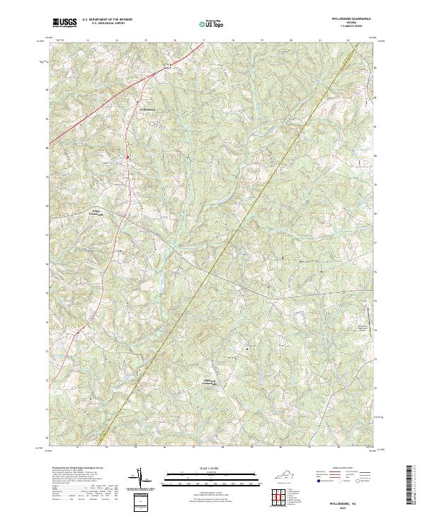 2022 Wylliesburg2022 Print · USGSSouthern Charlotte County is captured here in the early 2020s, showing a landscape shaped by the Bluestone Creek watershed. Genealogists and local historians can trace rural family-named lanes around Wylliesburg, Philbeck Crossroads, and Bethel Cemetery.
 - 2022 Map of Nathalie, 2022 Print
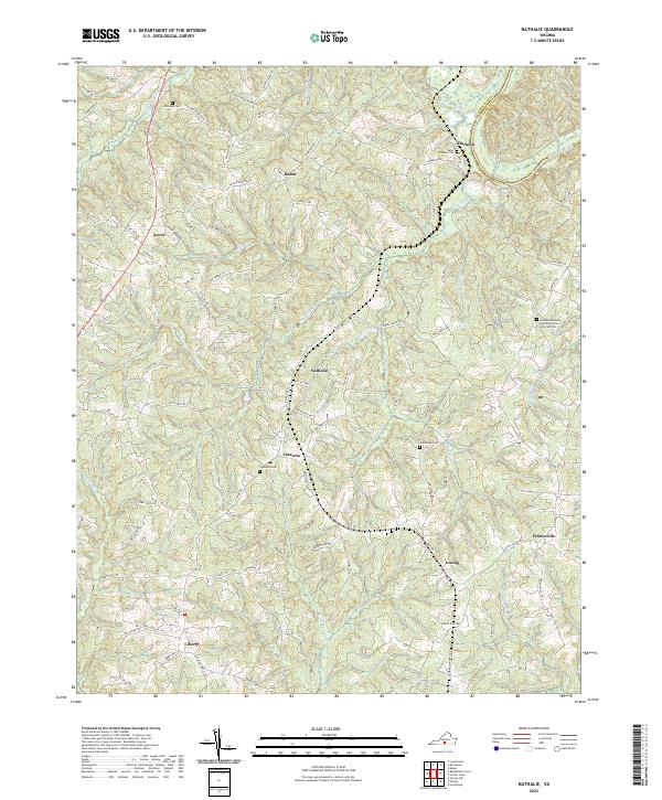 2022 Nathalie2022 Print · USGSHalifax County at the start of the 2020s shows a landscape of enduring rural communities and historical creek drainages. Researchers can trace family sites and local landmarks from Clarkton down to Liberty, including Catawba Cem and Saint Thomas Cem.
 - 2022 Map of Red House, 2022 Print
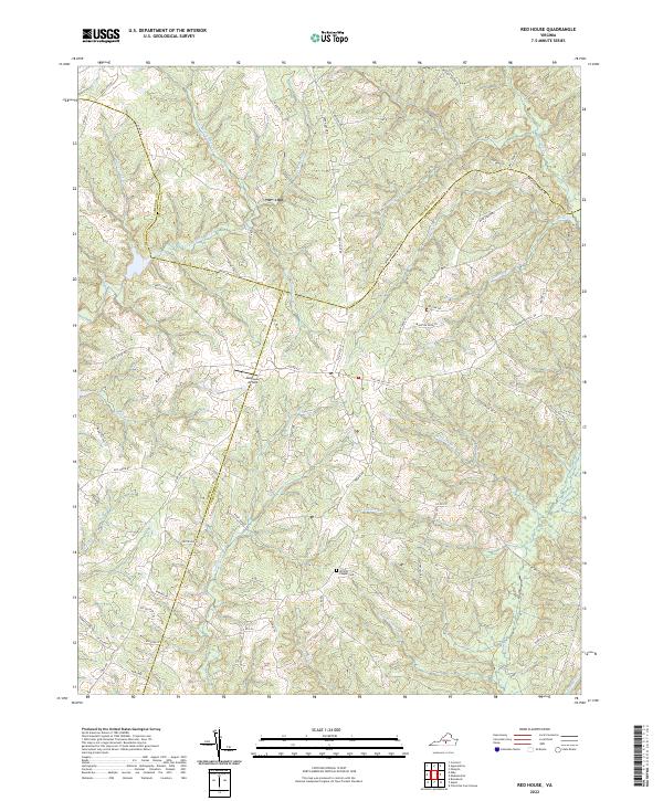 2022 Red House2022 Print · USGSThe rural borders of Charlotte, Appomattox, and Campbell counties are captured here in the early twenty-first century, showing a landscape shaped by the Little Falling River. Researchers can trace old family landholdings and community sites via Whites Chapel Cemetery and Thorntons Mill Road.
 - 2022 Map of Charlotte Court House, 2022 Print
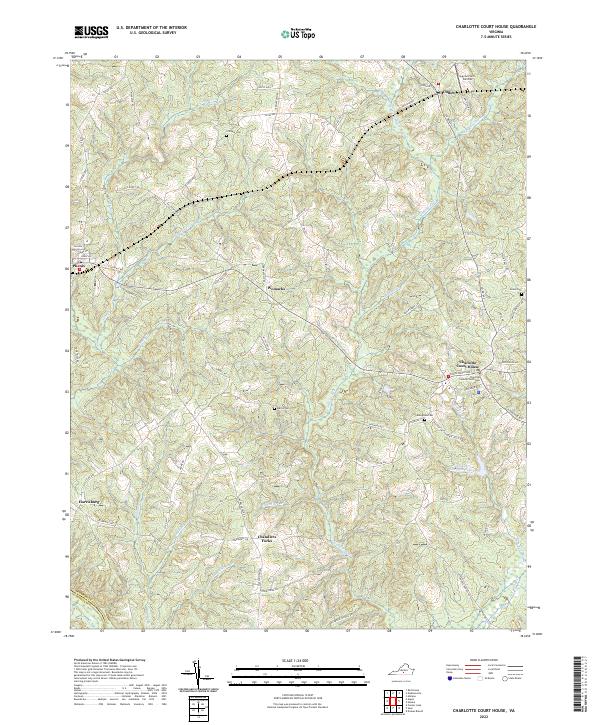 2022 Charlotte Court House2022 Print · USGSCharlotte County’s rural heartland is meticulously documented in the early 2020s, showing the enduring structure of its historic villages and road networks. Genealogists can locate family landmarks like Gillispie Cem and Martin Cem or trace the early development of Chandlers Forks.
 - 2022 Map of Brookneal, 2022 Print
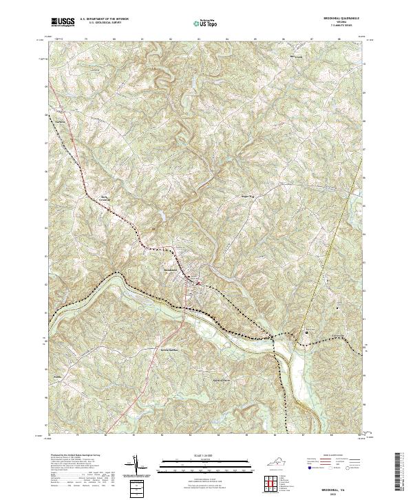 2022 Brookneal2022 Print · USGSThe Roanoke River and its tributaries shape this Southside Virginia landscape at the borders of three counties. Genealogists can trace family landmarks and burial sites like Wickliffe - Rust Cem, Martins Store, and Spring Hill Cem.
 - 2022 Map of Madisonville, 2022 Print
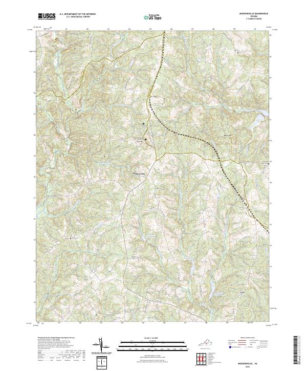 2022 Madisonville2022 Print · USGSMadisonville and the rural landscapes of Charlotte County are shown here in the early twenty-first century. Researchers can trace family roots at Salem Cem, visit the Mount-Lyle Baptist Church, or explore the terrain surrounding Lyle Mtn and Baker Mtn.
 - 2022 Map of Abilene, 2022 Print
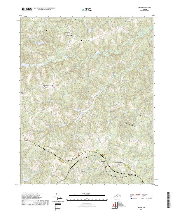 2022 Abilene2022 Print · USGSThe rural Piedmont landscape of Prince Edward and Charlotte counties comes to life in this recent survey. Researchers can trace local heritage through numerous family and church burial sites like Bethpeor Cem and settlements at Abilene and Five Forks.
 - 2022 Map of Buffalo Springs, 2022 Print
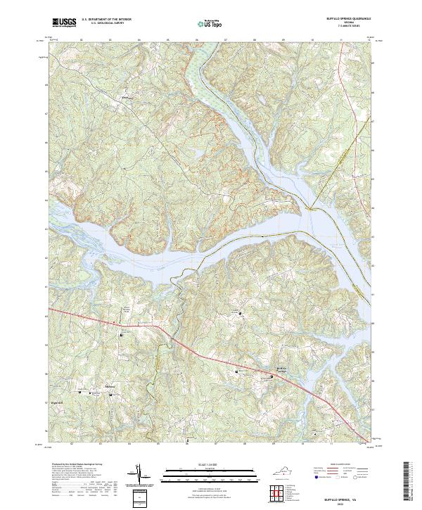 2022 Buffalo Springs2022 Print · USGSThe confluence of the Staunton and Dan Rivers in the 2020s shows a landscape of reservoir waters and old Virginia crossroads. Genealogists can trace family footprints at Aarons Creek Cem, Buffalo Springs, and the Buffalo Baptist Tabernacle.
 - 2022 Map of Fort Mitchell, 2022 Print
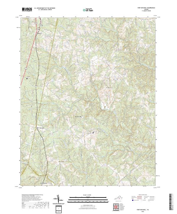 2022 Fort Mitchell2022 Print · USGSLunenburg County at the start of the 2020s remains a landscape of historic crossroads and river-fed ridges. Researchers can trace local lineage through Friendship Cem or explore the rural hubs of Fort Mitchell, Five Forks, and Ontario.
 - 2022 Map of Saxe, 2022 Print
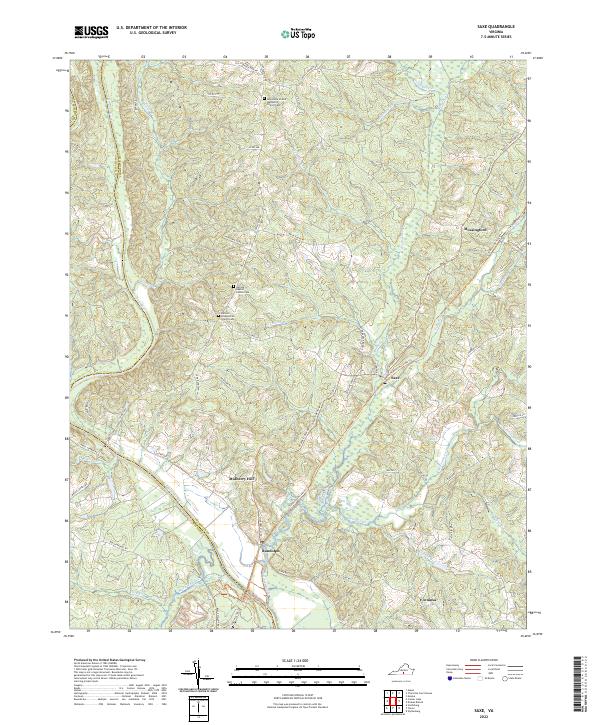 2022 Saxe2022 Print · USGSCharlotte County’s rural landscape is preserved in this modern survey, showing the traditional crossroads and river landings of southern Virginia. Genealogists can trace family sites near Saxe, Randolph, and the Galilee Baptist Church Cem.
 - 2022 Map of Clover, 2022 Print
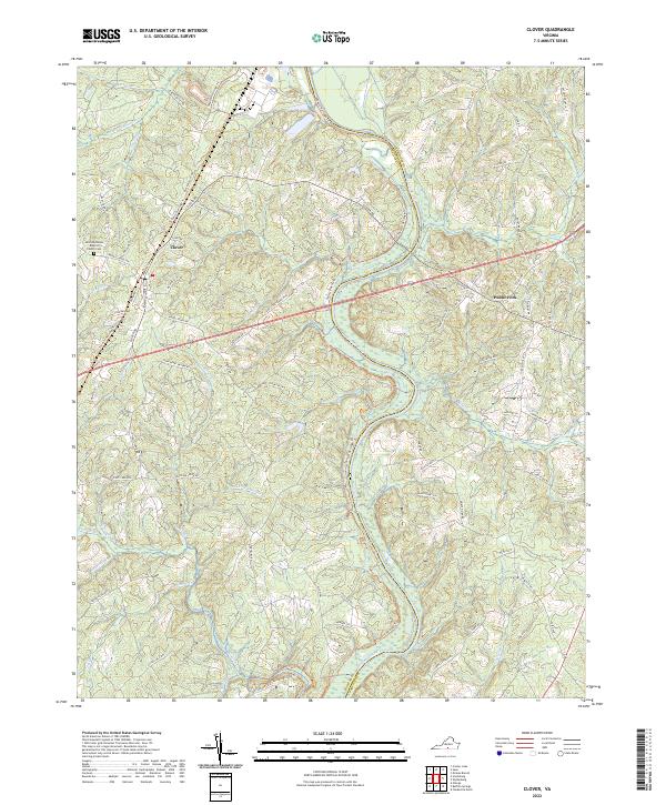 2022 Clover2022 Print · USGSCoastal Virginia's rural heartland is meticulously detailed in this recent look at the Halifax County countryside. Researchers can trace family-named routes and local landmarks like Saint Matthews Baptist Church, Public Fork, and the winding Tobacco Heritage Trl.
 - 2022 Map of Drakes Branch, 2022 Print
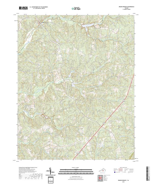 2022 Drakes Branch2022 Print · USGSDrakes Branch and the surrounding Charlotte County countryside are shown here in the early twenty-first century as the landscape evolved around its historic watercourses. Genealogists and local historians can trace the paths of the Tobacco Heritage Trl and find landmarks like Union School Ln and Langford Pond.
 - 2022 Map of Clarksville North, 2022 Print
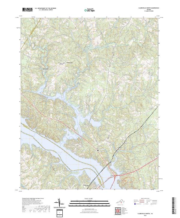 2022 Clarksville North2022 Print · USGSMecklenburg County is shown here in the early twenty-first century as the landscape balances its rural roots with the vast shoreline of the John H. Kerr Reservoir. Local historians can trace family lineage through the many burial grounds, including Ephesus United Methodist Church Cemetery and Bluestone Cemetery.
 - 2022 Map of Keysville, 2022 Print
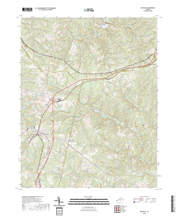 2022 Keysville2022 Print · USGSThe town of Keysville and the Southside Virginia Community College - John H Daniel Campus anchor this modern survey of the Virginia Piedmont. Genealogists can trace family landmarks at Ash Camp Memorial Cem and Mount Ellis Cem while following the Tobacco Heritage Trl.
 - 2022 Map of Eureka, 2022 Print
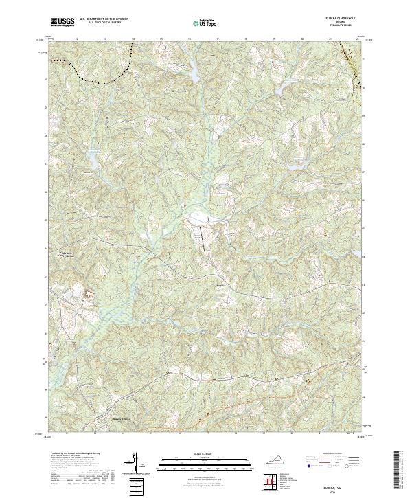 2022 Eureka2022 Print · USGSCharlotte County’s rolling landscape is shown here in the early twenty-first century, centered on the historic seat and the small village of Eureka. Researchers can trace family-named roads and landmarks like Gethsemane Church Ave, Eureka Airport, and the Tobacco Heritage Trl.
 - 2022 Map of Conner Lake, 2022 Print
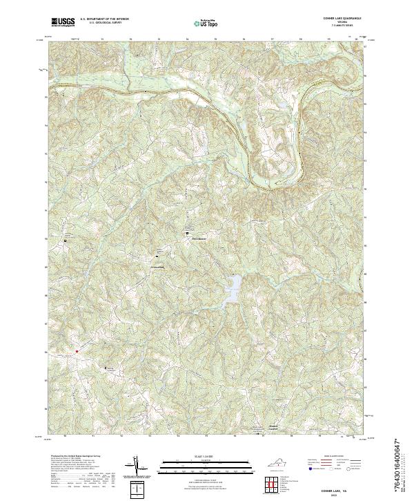 2022 Conner Lake2022 Print · USGSHalifax and Charlotte counties are shown here in the early 2020s, dominated by the winding Roanoke River and the waters of Conner Lake. Family historians can trace local roots at the Providence Presbyterian Church Cem and the Mount Pleasant Cem.
 - 2022 Map of Aspen, 2022 Print
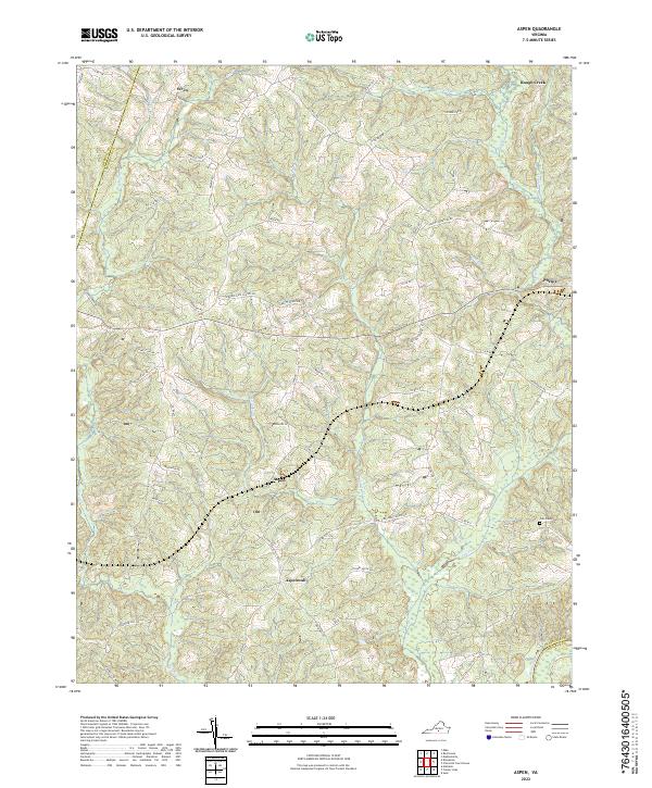 2022 Aspen2022 Print · USGSCharlotte County in the early twenty-first century remains a landscape of quiet creek-side settlements and historic family landholdings. Researchers can locate ancestral sites near Phenix, Aspen, and the Cub Creek Cem, or trace the old paths of Jordans Gate School Rd.
End of results
Showing maps 1-17 of 17
Top cities of Charlotte County
- Keysville historical maps
- Drakes Branch historical maps
- Charlotte Court House historical maps
- Phenix historical maps
Frequently asked questions
- What are the different types of historical maps available for Charlotte County?
- What is the oldest map of Charlotte County?
- Where can I purchase historical maps of Charlotte County for my home or office?
- Where can I download high-res historical maps of Charlotte County?
- Are there historical topographic maps available for Charlotte County?
- Is there historical aerial imagery available for Charlotte County?
- Where are historical maps of Charlotte County sourced from?