1970s Maps of Chesterfield County, Virginia
Explore 13 historic maps of Chesterfield County from the 1970s. These maps offer a rare glimpse into what life looked like during the 1970s — showing old roads, neighborhoods, homes, and landmarks that have changed or disappeared over time.
Whether you're researching your family's past, planning a metal detecting trip, or studying how Chesterfield County's landscape evolved across the 1970s, these high-resolution maps are a powerful tool for exploring the history of this region.
- Focus on a specific era: All maps on this page are from the 1970s, giving you a focused view of this time period.
- See what’s changed: Compare century-old streets, trails, and buildings to today's modern landscape using overlays and satellite layers.
- Research with precision: Use these maps for genealogy, historical research, land use analysis, or educational projects.
- View, download, or print: Maps are fully viewable online in high resolution, and can be downloaded or printed for your own records.
Start exploring Chesterfield County's history through authentic maps from the 1970s. This is your window into the past.
Chesterfield County, VA maps
(13)- 1973 Map of Richmond, 1974 Print
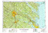 1973 Richmond1974 Print · USGSThe Virginia Tidewater and Piedmont come alive in the early seventies, showcasing a region defined by its great rivers and massive military installations. Researchers can trace the mid-century growth of Richmond or locate family sites near Amelia Court House and Highland Springs.2 unique versions available
 - 1974 Map of Bon Air, 1977 Print
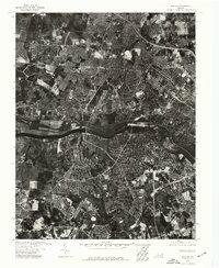 1974 Bon Air1977 Print · USGSThe suburbs of Richmond and Chesterfield County are captured during a mid-seventies growth boom along the James River. Genealogists and local historians can trace the 1970s footprint of Bon Air and the western reaches of Richmond.
 - 1974 Map of Chester, 1977 Print
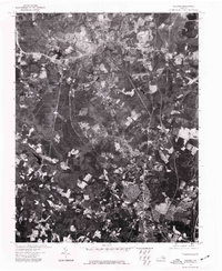 1974 Chester1977 Print · USGSChester and the surrounding Virginia countryside appear in sharp detail just as suburban expansion was reshaping the area in the mid-1970s. Trace old property lines and development patterns near Chester and the northern reaches of Colonial Heights along the James River.
 - 1974 Map of Midlothian, 1977 Print
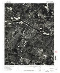 1974 Midlothian1977 Print · USGSThe James River corridor west of Richmond comes into clear focus in this mid-1970s aerial survey. Local historians and researchers can trace the wooded shorelines and early development patterns along the James River through authentic 1974 orthophotography.
 - 1974 Map of Petersburg, 1977 Print
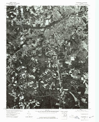 1974 Petersburg1977 Print · USGSIn the mid-seventies, the urban core of Petersburg and Colonial Heights stands in sharp contrast to the surrounding rural countryside. Researchers can trace the development of riverside neighborhoods and industrial sites along the Appomattox River.
 - 1974 Map of Beach, 1977 Print
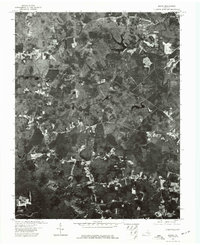 1974 Beach1977 Print · USGSThe rural landscape of Chesterfield County is captured here in the mid-1970s, showing a transition from agriculture to modern growth. Researchers can trace land use patterns near the Beach settlement and the wooded banks of Swift Creek.
 - 1974 Map of Drewrys Bluff, 1977 Print
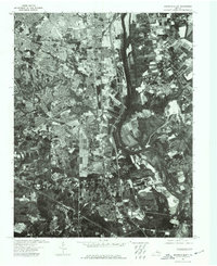 1974 Drewrys Bluff1977 Print · USGSThe southern outskirts of Richmond meet the high banks of the James River during the mid-1970s in this detailed aerial study. Genealogists and local historians can trace the industrial corridor and residential patterns near Drewrys Bluff.
 - 1974 Map of Hopewell, 1977 Print
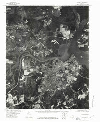 1974 Hopewell1977 Print · USGSThe industrial riverfront of the mid-1970s is revealed in this aerial study of the Virginia tidewater. Researchers can trace the development of Hopewell and its proximity to the winding waters of the James River and the Appomattox River.
 - 1974 Map of Hallsboro, 1977 Print
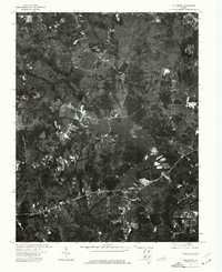 1974 Hallsboro1977 Print · USGSChesterfield County appears in high-detail aerial photography during the mid-seventies, just as the local landscape began to shift. Genealogists and local historians can trace property lines and early road networks around Hallsboro and the Swift Creek Reservoir.
 - 1974 Map of Roxbury, 1977 Print
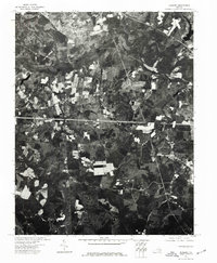 1974 Roxbury1977 Print · USGSCharles City County is captured in detail during the mid-seventies in this orthophoto survey of the Virginia Peninsula. Local history researchers can examine the rural land patterns surrounding the settlement of Roxbury and trace the road networks of the era.
 - 1979 Map of Winterpock, 1982 Print
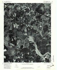 1979 Winterpock1982 Print · USGSSouthern Chesterfield County is captured in the late seventies just as the landscape around the Appomattox River was maturing. Local historians can trace rural property lines and woodlots near the Winterpock settlement and along the shores of Lake Chesdin.
 - 1979 Map of Clayville, 1982 Print
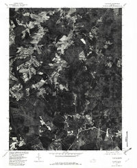 1979 Clayville1982 Print · USGSChesterfield County's rural character is captured in the late seventies, showing the transition from riverfront life to railroad-dependent hamlets. Genealogists can trace family locations near Clayville, Skinquarter, and the banks of the Appomattox River.
 - 1979 Map of Westover, 1984 Print
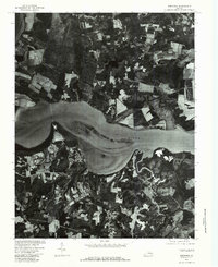 1979 Westover1984 Print · USGSThe Virginia Tidewater of the late seventies is revealed in this aerial survey focused on the banks of the James River. Genealogists and historians can trace the property lines and rural roads connecting Westover, Berkeley, and Barnetts.
End of results
Showing maps 1-13 of 13
Top cities of Chesterfield County
- Chester historical maps
- Meadowbrook historical maps
- Bon Air historical maps
- Manchester historical maps
- Rockwood historical maps
- Bellwood historical maps
See more
Frequently asked questions
- What are the different types of historical maps available for Chesterfield County?
- What is the oldest map of Chesterfield County?
- Where can I purchase historical maps of Chesterfield County for my home or office?
- Where can I download high-res historical maps of Chesterfield County?
- Are there historical topographic maps available for Chesterfield County?
- Is there historical aerial imagery available for Chesterfield County?
- Where are historical maps of Chesterfield County sourced from?