2010s Maps of Chesterfield County, Virginia
Explore 72 historic maps of Chesterfield County from the 2010s. These maps offer a rare glimpse into what life looked like during the 2010s — showing old roads, neighborhoods, homes, and landmarks that have changed or disappeared over time.
Whether you're researching your family's past, planning a metal detecting trip, or studying how Chesterfield County's landscape evolved across the 2010s, these high-resolution maps are a powerful tool for exploring the history of this region.
- Focus on a specific era: All maps on this page are from the 2010s, giving you a focused view of this time period.
- See what’s changed: Compare century-old streets, trails, and buildings to today's modern landscape using overlays and satellite layers.
- Research with precision: Use these maps for genealogy, historical research, land use analysis, or educational projects.
- View, download, or print: Maps are fully viewable online in high resolution, and can be downloaded or printed for your own records.
Start exploring Chesterfield County's history through authentic maps from the 2010s. This is your window into the past.
Chesterfield County, VA maps
(72)- 2010 Map of Amelia Court House, 2010 Print
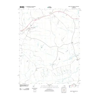 2010 Amelia Court House2010 Print · USGSAmelia County at the start of the 21st century remains a landscape of historic crossroads and family-named landmarks. Genealogists can trace rural roots through Big Oak Cemetery or locate old industrial sites like Beaverpond Mill and Pointons Store.
 - 2010 Map of Drewrys Bluff, 2010 Print
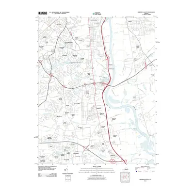 2010 Drewrys Bluff2010 Print · USGSThe industrial corridor south of Richmond is caught in a moment of modern growth along the James River shoreline. Genealogists and local historians can trace burial sites like Cary Cemetery and the development of neighborhoods from Bensley to Drewrys Bluff.
 - 2010 Map of Bon Air, 2010 Print
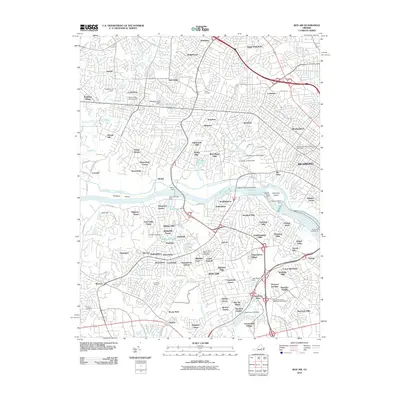 2010 Bon Air2010 Print · USGSThe western edges of Richmond and the riverfront communities of Henrico County are shown here at the turn of the 21st century. Researchers can locate long-standing landmarks like the University of Richmond, the historic James River and Kanawha Canal, and Ridge Cemetery.
 - 2010 Map of Winterpock, 2010 Print
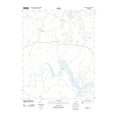 2010 Winterpock2010 Print · USGSThe Winterpock area of Chesterfield County comes into focus in this late-aughts survey, centered on the Appomattox River and Lake Chesdin. Local historians can trace family roots at Centenary Cemetery or Bethia Cemetery and locate rural landmarks like Whites Store.
 - 2010 Map of Midlothian, 2010 Print
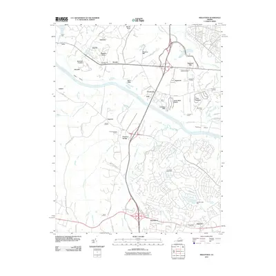 2010 Midlothian2010 Print · USGSThe James River valley at the start of the 21st century reveals a landscape of historic riverfront estates and growing suburban communities. Researchers can trace local lineage through Manakin Cemetery or locate the site of the old Manakin Sabot Post Office and Huguenot Springs.
 - 2010 Map of Hallsboro, 2010 Print
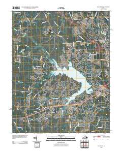 2010 Hallsboro2010 Print · USGSChesterfield County was undergoing rapid suburban transformation in the early twenty-first century as new neighborhoods expanded around the Swift Creek Reservoir. Genealogists and local historians can trace legacy sites like Mount Hermon Cemetery, Southside Speedway, and the Woodle Airport.
 - 2010 Map of Chester, 2010 Print
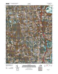 2010 Chester2010 Print · USGSChester and the surrounding Chesterfield County residential corridors are captured here during a period of significant suburban growth. Genealogists and local historians can locate several family burial sites like the Perdue Family Cemetery or explore landmarks such as Pickadat Corner and the Swift Creek Mill.
 - 2010 Map of Beach, 2010 Print
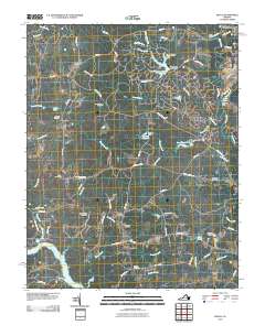 2010 Beach2010 Print · USGSChesterfield County's transition from rural farmland to residential suburbs is clearly visible in this recent survey. Genealogists and local historians can trace family roots through numerous sites like Mount Gilead Cemetery, Crostick Millpond, and Nash Grove.
 - 2010 Map of Hopewell, 2010 Print
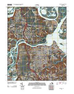 2010 Hopewell2010 Print · USGSThe confluence of the James and Appomattox Rivers at the start of the 21st century reveals a landscape shaped by tidewater history and industry. Genealogists can trace family sites at City Point National Cemetery, Walthall Mill, and Birchett Estate.
 - 2010 Map of Chesterfield, 2010 Print
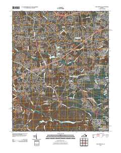 2010 Chesterfield2010 Print · USGSChesterfield County's residential expansion is on full display in this early 21st-century record of suburban Virginia. Genealogists can locate several local burial sites like Hopewell and Brown Cemetery, while tracing the development of neighborhoods from Five Forks to Chesterfield.
 - 2010 Map of Mannboro, 2010 Print
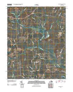 2010 Mannboro2010 Print · USGSThe Appomattox River valley in Amelia County comes into focus during the early twenty-first century, showing a landscape defined by its waterways and rural road networks. Researchers can trace family history through Sappony Cemetery or locate historical crossings like Goodes Bridge and Bevils Bridge.
 - 2010 Map of Roxbury, 2010 Print
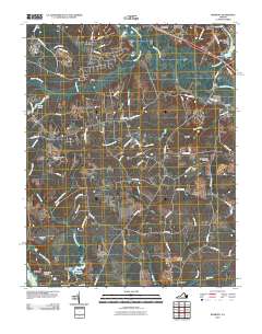 2010 Roxbury2010 Print · USGSEastern Virginia at the start of the 2010s shows a landscape deeply rooted in its colonial and civil war past even as modern subdivisions grow. Researchers can trace family sites at Glendale National Cemetery, identify old commerce at Ednas Mill, and locate the traditional crossing at Long Bridge.
 - 2010 Map of Chula, 2010 Print
 2010 Chula2010 Print · USGSAmelia County’s rural crossroads and river landings are documented here in the early twenty-first century. Genealogists can locate family landmarks like Grub Hill Cemetery, the community of Chula, and historic sites near Giles Mill and Elk Hill.
 - 2010 Map of Clayville, 2010 Print
 2010 Clayville2010 Print · USGSPowhatan and Amelia counties are captured here at the start of the 2010s, centered on the Appomattox River. Genealogists and local historians can trace the rural landscape between Moseley and Skinquarter, identifying sites like Liberty Cemetery and Tates Pond.
 - 2010 Map of Westover, 2010 Print
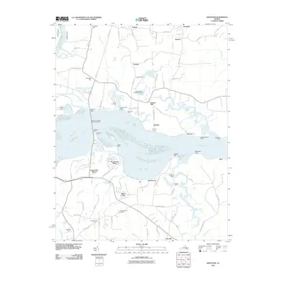 2010 Westover2010 Print · USGSThe James River corridor near Charles City County appears in the early twenty-first century as a blend of historic riverfront estates and tidal wetlands. Researchers can locate Merchants Hope Cemetery, Harrisons Landing, and the Benjamin Harrison Memorial Bridge.
 - 2010 Map of Sutherland, 2010 Print
 2010 Sutherland2010 Print · USGSDinwiddie County settlements and riverside estates are documented here during a period of transition in the late two-thousands. Family historians can locate numerous small burial sites like Ocran Cemetery and Olgers Cemetery near the Sutherland Post Office.
 - 2010 Map of Dutch Gap, 2010 Print
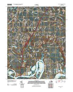 2010 Dutch Gap2010 Print · USGSThe James River bends and historic peninsulas of Henrico County are captured here just as the new millennium's suburban growth meets deep Virginia roots. Genealogists and researchers can trace family names and sites across Varina Farm, Fort Harrison National Cemetery, and Curles Neck.
 - 2010 Map of Petersburg, 2010 Print
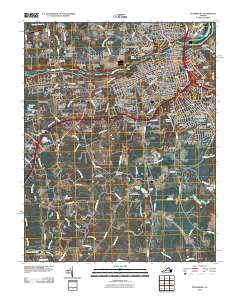 2010 Petersburg2010 Print · USGSThe cities of Petersburg and Colonial Heights meet at the Appomattox River in this detailed 2010 survey. Genealogists and researchers can trace lineage across Blandford Cemetery or locate historical landmarks like The Crater and Pocahontas.
 - 2013 Map of Chula, 2013 Print
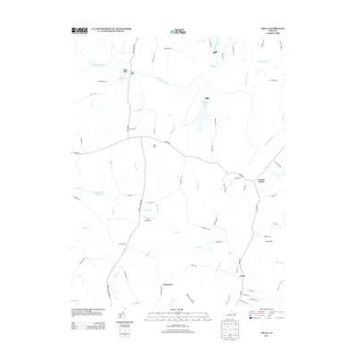 2013 Chula2013 Print · USGSAmelia County’s rural landscape is captured here in the early 2000s as the river-and-rail economy evolved into a mix of small settlements and conservation lands. Researchers can trace family-named landmarks and old crossroads at Giles Mill, Fieldstown, and Masons Corner.
 - 2013 Map of Drewrys Bluff, 2013 Print
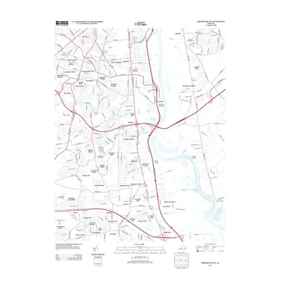 2013 Drewrys Bluff2013 Print · USGSThe James River corridor south of Richmond is shown here in the early twenty-first century, featuring a dense suburban and industrial landscape. Researchers can trace local neighborhoods and landmarks like Bensley Village, Drewrys Bluff, and the Falling Cr Reservoir.
 - 2013 Map of Clayville, 2013 Print
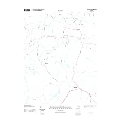 2013 Clayville2013 Print · USGSPowhatan and Chesterfield counties are captured here in the early twenty-first century as rural crossroads and newer residential lanes began to overlap. Researchers can trace the riverbanks near Mattoax or locate family sites around Clayville and Skinquarter.
 - 2013 Map of Amelia Court House, 2013 Print
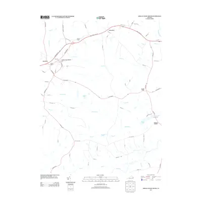 2013 Amelia Court House2013 Print · USGSAmelia County as it appeared in the early twenty-first century shows a landscape defined by traditional Piedmont crossroads and winding creek branches. Researchers can trace local landmarks like Beaverpond Mill and rural settlements such as Scotts Fork or Winterham.
 - 2013 Map of Beach, 2013 Print
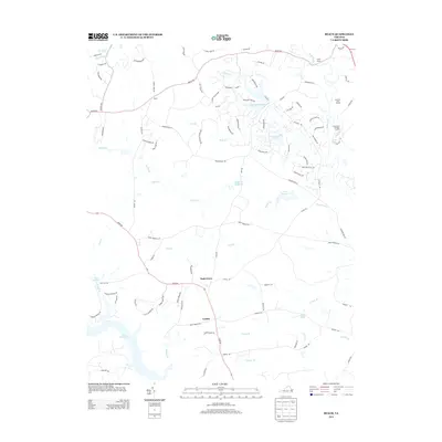 2013 Beach2013 Print · USGSChesterfield County in the early 2010s shows a landscape of growing residential hubs and large-scale public land. Trace the development around Nash Grove and Beach, or locate historical water features like Crostick Millpond and the shores of Lake Chesdin.
 - 2013 Map of Chester, 2013 Print
 2013 Chester2013 Print · USGSThe suburban landscape south of Richmond comes into focus in this recent study of the Tri-Cities area. Researchers can trace modern neighborhood development through Pickadat Corner and Grove Place, or locate old river features like Archer Bluff and the James River Old Channel.
 - 2013 Map of Chesterfield, 2013 Print
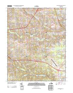 2013 Chesterfield2013 Print · USGSIn the early twenty-first century, Chesterfield County's landscape was transitioning from its agricultural roots into a modern suburban hub. Researchers can trace this growth through dozens of residential developments like Qualla Farms and Old Coach Hills, alongside landmarks like Camp Shawondasee.
Showing maps 1-25 of 72
Top cities of Chesterfield County
- Chester historical maps
- Meadowbrook historical maps
- Bon Air historical maps
- Manchester historical maps
- Rockwood historical maps
- Bellwood historical maps
See more
Frequently asked questions
- What are the different types of historical maps available for Chesterfield County?
- What is the oldest map of Chesterfield County?
- Where can I purchase historical maps of Chesterfield County for my home or office?
- Where can I download high-res historical maps of Chesterfield County?
- Are there historical topographic maps available for Chesterfield County?
- Is there historical aerial imagery available for Chesterfield County?
- Where are historical maps of Chesterfield County sourced from?