1900s (20th Century) Maps of Culpeper, Virginia
Explore 16 historic maps of Culpeper from the 1900s (20th Century). These maps offer a rare glimpse into what life looked like during the 1900s — showing old roads, neighborhoods, homes, and landmarks that have changed or disappeared over time.
Whether you're researching your family's past, planning a metal detecting trip, or studying how Culpeper's landscape evolved across the 1900s, these high-resolution maps are a powerful tool for exploring the history of this region.
- Focus on a specific era: All maps on this page are from the 1900s, giving you a focused view of this time period.
- See what’s changed: Compare century-old streets, trails, and buildings to today's modern landscape using overlays and satellite layers.
- Research with precision: Use these maps for genealogy, historical research, land use analysis, or educational projects.
- View, download, or print: Maps are fully viewable online in high resolution, and can be downloaded or printed for your own records.
Start exploring Culpeper's history through authentic maps from the 1900s. This is your window into the past.
Culpeper, VA maps
(16)- 1943 Map of Culpeper, 1961 Print
 1943 Culpeper1961 Print · USGSCulpeper and its surroundings are documented here during the early 1940s as a bustling railroad and county hub. Researchers can locate specific local landmarks like the U S National Cem, tracing the rail lines through Brandy or visiting rural outposts like Batna.
 - 1944 Map of Culpeper
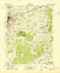 1944 Culpeper1944 Print · USGSCulpeper and the surrounding Piedmont landscape are captured here during the mid-1940s. Genealogists and local historians can locate family landmarks like Cedar Grove Church and the U S National Cemetery, or trace the old Southern rail line through Stevensburg.
 - 1948 Map of Washington
 1948 Washington1948 Print · USGSThe Potomac and Chesapeake regions in the late 1940s reveal a landscape of expanding military reach and deep-rooted Tidewater settlements. Trace old rail corridors like the Richmond Fredericksburg & Potomac RR or locate landmarks like the Wakefield Washington Monument and St. Marys College.2 unique versions available
 - 1949 Map of Charlottesville
 1949 Charlottesville1949 Print · USGSThe Shenandoah Valley and Blue Ridge appear in the late 1940s as a thriving corridor of rail and river commerce. Researchers can trace the mid-century footprints of Harrisonburg, Staunton, and Culpeper alongside the historic routes of the Southern Railway.2 unique versions available
 - 1956 Map of Charlottesville, 1966 Print
 1956 Charlottesville1966 Print · USGSThe Shenandoah Valley and Blue Ridge are captured in detail during the mid-1960s as the modern interstate system began to emerge. Genealogists and historians can trace rail-connected hubs like Waynesboro or follow the river paths of the Rapidan River and Rivanna River.4 unique versions available
 - 1957 Map of Washington, 1966 Print
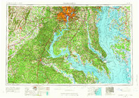 1957 Washington1966 Print · USGSThe mid-Atlantic region during the mid-fifties and early sixties reveals a landscape of growing suburbs and vital military outposts. Researchers can trace historic river towns and shorelines from Alexandria to the Hooper Islands and St Clements Island.5 unique versions available
 - 1961 Map of Washington
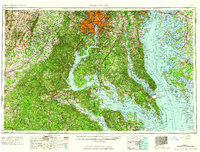 1961 Washington1961 Print · USGSThe mid-Atlantic region in the late fifties is presented in remarkable detail, from the Blue Ridge foothills to the Chesapeake Eastern Shore. Researchers can trace historic river landings and military sites like Mount Vernon, Fort Belvoir, and Point Lookout.2 unique versions available
 - 1961 Map of Rapidan, 1963 Print
 1961 Rapidan1963 Print · USGSMadison and Culpeper Counties during the early sixties show a transition from a traditional mill-based economy to a modern rural landscape. Genealogists can trace family names at Waylands Mill, Achsah, and Thorofare Mtn Chapel along the Piedmont rivers.2 unique versions available
 - 1968 Map of Culpeper, 1970 Print
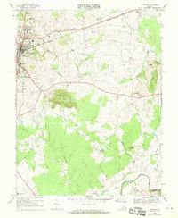 1968 Culpeper1970 Print · USGSCulpeper and its surrounding rural communities are captured here in the late sixties, just before the expansion of the modern era. Researchers can trace local genealogy and land use through landmarks like Stevensburg, the National Cem, and St Stephens Ch.
 - 1971 Map of Culpeper West, 1972 Print
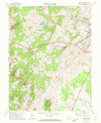 1971 Culpeper West1972 Print · USGSCulpeper and its western mountain fringes are captured here in the early seventies, showing a landscape defined by traditional rail corridors and rural churches. Genealogists can trace family names at Fairview Cem and find local landmarks like Waylands Mill and the Piedmont Vocational Sch.2 unique versions available
 - 1973 Map of Culpeper East, 1974 Print
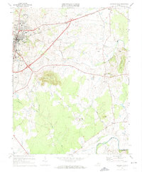 1973 Culpeper East1974 Print · USGSCulpeper and the surrounding Piedmont countryside are captured in the early seventies as the railroad and highway networks shaped local growth. Genealogists and historians can trace family-named sites and landmarks from Brandy Station to the Culpeper National Cem and Mount Pony.4 unique versions available
 - 1983 Map of Fredericksburg, 1984 Print
 1983 Fredericksburg1984 Print · USGSThe Virginia and Maryland tidewater region comes into sharp focus during the early 1980s, centered on the historic Rappahannock and Potomac river valleys. Researchers can trace the boundaries of the Fredericksburg-Spotsylvania National Military Park alongside growing residential areas and military sites like Fort A.P. Hill Military Reservation.2 unique versions available
 - 1986 Map of Charlottesville
 1986 Charlottesville1986 Print · USGSCentral Virginia in the mid-eighties shows a landscape balanced between the growing city centers of the Piedmont and the protected ridges of the Blue Ridge. Trace the historic rail lines of the Chesapeake and Ohio Railway or locate local landmarks like Monticello Mountain and Bridgewater College.3 unique versions available
 - 1989 Map of Washington
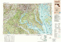 1989 Washington1989 Print · USGSThe Potomac River valley and Chesapeake Bay are shown in comprehensive detail during the late 1980s. Genealogists and historians can trace the transition from urban Alexandria to the rural Northern Neck, locating landmarks like Mount Vernon and Stratford Hall.
 - 1994 Map of Culpeper East, 1999 Print
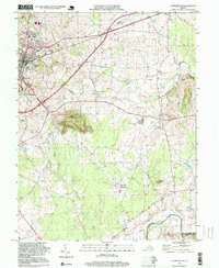 1994 Culpeper East1999 Print · USGSCulpeper and the historic fields of Brandy Station are captured here in the mid-nineties, showing the mix of growing town life and rural heritage. Genealogists and historians can trace local landmarks like Mount Pony, the National Cem, and churches such as Cedar Grove Ch.
 - 1997 Map of Culpeper West, 1999 Print
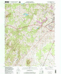 1997 Culpeper West1999 Print · USGSCulpeper and its western rural surroundings are captured in the late 1990s as the town expanded toward the Piedmont hills. Researchers can trace historic settlements and local landmarks like Waylands Mill, Rising Zion Ch, and the tracks of the Southern railroad.
End of results
Showing maps 1-16 of 16
Top cities near Culpeper
- Warrenton historical maps
- Bealeton historical maps
- Orange historical maps
- Brightwood historical maps
- Remington historical maps
- Opal historical maps
See more
Top neighborhoods of Culpeper
- Oaklawn historical maps
- Westover historical maps
- Catalpa Hills historical maps
- Village of Culpeper historical maps
- Belle Parc historical maps
- High Point historical maps
See more
Frequently asked questions
- What are the different types of historical maps available for Culpeper?
- What is the oldest map of Culpeper?
- Where can I purchase historical maps of Culpeper for my home or office?
- Where can I download high-res historical maps of Culpeper?
- Are there historical topographic maps available for Culpeper?
- Is there historical aerial imagery available for Culpeper?
- Where are historical maps of Culpeper sourced from?