Old Maps of Rocky Run, Virginia for Academic Research
Study the evolution of Rocky Run with 15 high-resolution historic maps. Whether you're teaching, researching, or modeling changes in land use, these maps provide essential visual documentation of urban, environmental, and geographic change.
- Analyze long-term change: Track patterns in development, transportation, and natural features.
- Ideal for environmental or urban studies: Support academic projects with primary historical map data.
- Use in the classroom or lab: Educators and researchers rely on these maps to bring historical context to life.
These maps are a powerful tool for teaching, research, and visualizing how Rocky Run has changed over the decades.
Rocky Run, VA maps
(15)- 1897 Map of Amelia
 1897 Amelia1897 Print · USGSThe rural interior of central Virginia comes into focus in the late nineteenth century, as the Appomattox River corridor transitions from a river-based economy to a rail-centered one. Researchers can trace ancestral property lines near Giles Mill, locate the rail hub at Mosley Junction, or find old river crossings like Goode Bridge.5 unique versions available
 - 1943 Map of De Witt, 1961 Print
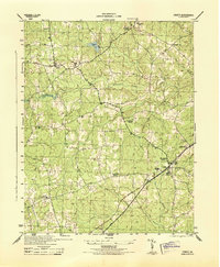
 1943 De Witt1961 Print · USGSDinwiddie County remained a landscape of quiet crossroads and rail sidings during the early years of the war. Genealogists can trace family footprints near DeWitt or locate historic congregations like Bott Memorial Ch and Rocky Run Ch.
 - 1943 Map of Richmond, 1972 Print
 1943 Richmond1972 Print · USGSCoastal Virginia and the state capital are shown in detail during the mid-century era of infrastructure expansion. Genealogists and historians can trace the grounds of Richmond Nat Battlefield Park, locate the Yorktown Nat Cem, or follow the many rural routes through Amelia Court House and Tappahannock.
 - 1944 Map of DeWitt
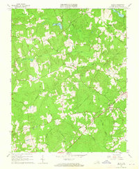
 1944 DeWitt1944 Print · USGSDinwiddie County's rural crossroads and rail-side hamlets are documented here at the height of the Second World War. Genealogists and local historians can trace family locations near landmarks like Bott Memorial Church, Wilkinsons Store, and the industrial site at Hills Mill.
 - 1949 Map of Richmond, 1951 Print
 1949 Richmond1951 Print · USGSCoastal Virginia in the years following World War II remained a landscape of historic river towns and expanding military bases. Genealogists and historians can trace the rail lines of the Southern Ry and locate established landmarks from Camp Lee to the remote reaches of Dragon Swamp.
 - 1959 Map of Richmond
 1959 Richmond1959 Print · USGSMid-century Virginia is captured here at its most vital rail and river junctions, from the capital city to the Chesapeake Bay. Genealogists and historians can trace the development of colonial settlements like Williamsburg and military landmarks including Fort Monroe and Camp Lee.
 - 1963 Map of De Witt, 1965 Print
 1963 De Witt1965 Print · USGSDinwiddie County in the early sixties was a landscape of crossroads settlements and small country churches. Genealogists and local historians can trace family roots at Wilkinsons Store or locate the historic Eleven Oaks Ch and its Cem.3 unique versions available
 - 1964 Map of Richmond
 1964 Richmond1964 Print · USGSCoastal and central Virginia are mapped during the mid-twentieth century, showing the critical intersection of rail, river, and military life. Genealogists can trace family roots through rural county seats like Amelia or find vanished coastal neighborhoods near Phoebus and Hilton Village.
 - 1973 Map of Richmond, 1974 Print
 1973 Richmond1974 Print · USGSThe Virginia Tidewater and Piedmont come alive in the early seventies, showcasing a region defined by its great rivers and massive military installations. Researchers can trace the mid-century growth of Richmond or locate family sites near Amelia Court House and Highland Springs.2 unique versions available
 - 1984 Map of Petersburg, 1985 Print
 1984 Petersburg1985 Print · USGSCentral Virginia in the mid-eighties shows a complex landscape of growing suburban centers and significant military installations. Researchers can trace historic boundaries and civic sites from Amelia Court House to the Glendale Nat Cem and Virginia State College.2 unique versions available
 - 2010 Map of DeWitt, 2010 Print
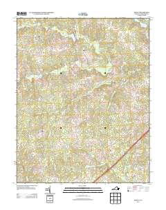
 2010 DeWitt2010 Print · USGSCovers Rocky Run, including Butterworth, Baltimore Corner, and other nearby areas
 - 2013 Map of DeWitt, 2013 Print
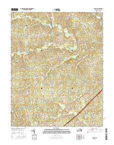
 2013 DeWitt2013 Print · USGSCovers Rocky Run, including Butterworth, Baltimore Corner, and other nearby areas
 - 2016 Map of DeWitt, 2016 Print
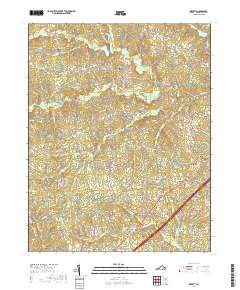
 2016 DeWitt2016 Print · USGSCovers Rocky Run, including Butterworth, Baltimore Corner, and other nearby areas
 - 2019 Map of DeWitt, 2019 Print
 2019 DeWitt2019 Print · USGSCovers Rocky Run, including Butterworth, Baltimore Corner, and other nearby areas
 - 2022 Map of DeWitt, 2022 Print
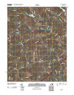
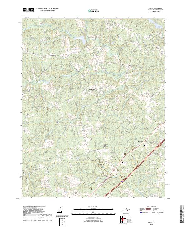 2022 DeWitt2022 Print · USGSDinwiddie County south of Petersburg remains a landscape of quiet crossroads and historic family landholdings in the early twenty-first century. Genealogists can trace decades of history through named burial grounds like Meredith Cem and Eleven Oaks Baptist Church Cem or follow the waters of Sappony Cr.
End of results
Showing maps 1-15 of 15
Top cities near Rocky Run
Frequently asked questions
- What are the different types of historical maps available for Rocky Run?
- What is the oldest map of Rocky Run?
- Where can I purchase historical maps of Rocky Run for my home or office?
- Where can I download high-res historical maps of Rocky Run?
- Are there historical topographic maps available for Rocky Run?
- Is there historical aerial imagery available for Rocky Run?
- Where are historical maps of Rocky Run sourced from?