2000s (21st Century) Maps of Fluvanna County, Virginia
Explore 60 historic maps of Fluvanna County from the 2000s (21st Century). These maps offer a rare glimpse into what life looked like during the 2000s — showing old roads, neighborhoods, homes, and landmarks that have changed or disappeared over time.
Whether you're researching your family's past, planning a metal detecting trip, or studying how Fluvanna County's landscape evolved across the 2000s, these high-resolution maps are a powerful tool for exploring the history of this region.
- Focus on a specific era: All maps on this page are from the 2000s, giving you a focused view of this time period.
- See what’s changed: Compare century-old streets, trails, and buildings to today's modern landscape using overlays and satellite layers.
- Research with precision: Use these maps for genealogy, historical research, land use analysis, or educational projects.
- View, download, or print: Maps are fully viewable online in high resolution, and can be downloaded or printed for your own records.
Start exploring Fluvanna County's history through authentic maps from the 2000s. This is your window into the past.
Fluvanna County, VA maps
(60)- 2010 Map of Columbia, 2010 Print
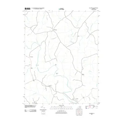 2010 Columbia2010 Print · USGSFluvanna County at the turn of the decade shows a rural Virginia landscape defined by its historic river confluences and crossroads. Genealogists and local historians can trace family-named roads and sites from Columbia up to Wilmington and Buzzard Rock.
 - 2010 Map of Lakeside Village, 2010 Print
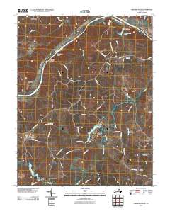 2010 Lakeside Village2010 Print · USGSFluvanna County's riverfront and rural interior are captured here in the early twenty-first century as the landscape transitioned toward recreation and residential life. Researchers can locate family landmarks like Little Fork Cemetery or trace the water systems of Trice Lake and Trenton Mills.
 - 2010 Map of Zion Crossroads, 2010 Print
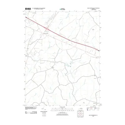 2010 Zion Crossroads2010 Print · USGSZion Crossroads and the surrounding Virginia countryside appear in this survey just as modern infrastructure began to reshape the old rural landscape. Genealogists can trace family heritage through sites like Hensons Store, Kents Store, and the Henson Cemetery.
 - 2010 Map of Palmyra, 2010 Print
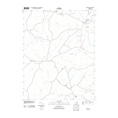 2010 Palmyra2010 Print · USGSFluvanna County in the early 2000s remains a landscape of historic crossroads and river bends. Researchers can trace the rural road network connecting Kidds Store, Cohasset, and Palmyra along the Rivanna River.
 - 2010 Map of Boyd Tavern, 2010 Print
 2010 Boyd Tavern2010 Print · USGSFluvanna County at the start of the 2010s shows a landscape of growing lakeside communities and historic Piedmont crossroads. Genealogists and local historians can trace family-named sites and early industrial hubs like Union Mills, Paynes Mill, and Boyd Tavern.
 - 2010 Map of Diana Mills, 2010 Print
 2010 Diana Mills2010 Print · USGSBuckingham County's rural river valleys are captured here in the early twenty-first century as they wrap around the winding Slate River. Local historians can trace family-named landmarks and small hamlets like Well Water, Sunny Side, and the historic Hale Cemetery.
 - 2010 Map of Caledonia, 2010 Print
 2010 Caledonia2010 Print · USGSGoochland County at the turn of the decade is a landscape of established family farms and creek-side settlements. Researchers can trace rural heritage at Payne Cemetery or follow local waterways like Tarred Rat Creek and Little Byrd Creek.
 - 2010 Map of Scottsville, 2010 Print
 2010 Scottsville2010 Print · USGSThe James River corridor in Albemarle County was well-established by the early 2000s, centered on the riverfront town of Scottsville. Researchers can trace old family sites and rural landmarks like the Jefferson Mill, Antioch Cemetery, and the dramatic Muleshoe Bend.
 - 2010 Map of Arvonia, 2010 Print
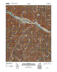 2010 Arvonia2010 Print · USGSBuckingham County at the start of the decade reveals a landscape shaped by the James River and its industrial crossings. Researchers can locate family burial sites like Grace Cemetery and trace local hamlets such as Arvonia, Shores, and Gilliamsville.
 - 2010 Map of Keswick, 2010 Print
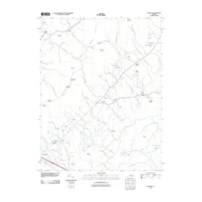 2010 Keswick2010 Print · USGSThe Piedmont estates and historic crossroads of Albemarle County are captured here in the early twenty-first century. Researchers can trace family roots and landholdings through many named sites, including Grace Cemetery, the Cobham Post Office, and the grounds of Castle Hill.
 - 2011 Map of Simeon, 2011 Print
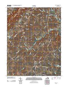 2011 Simeon2011 Print · USGSAlbemarle County's Piedmont landscape is captured here in the early twenty-first century, showing a transition from historic estates to modern vineyards. Researchers can trace family sites like Ash Lawn Cemetery and Slate Hill Cemetery or follow the path of the Rivanna River.
 - 2011 Map of Ferncliff, 2011 Print
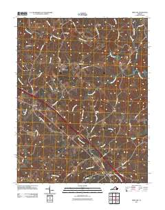 2011 Ferncliff2011 Print · USGSCentral Virginia’s rural landscape is captured here in the early 2000s, showcasing the traditional crossroads and river networks of Louisa County. Genealogists and historians can locate family landmarks like Grubbs Cemetery, the historic Byrd Mill, and local hubs at Bells Crossroads.
 - 2013 Map of Keswick, 2013 Print
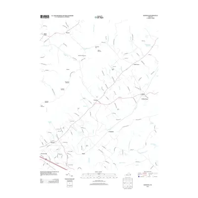 2013 Keswick2013 Print · USGSThe Piedmont countryside near the Southwest Mountains appears here in the early twenty-first century, showing a landscape of storied estates and small communities. Trace historical landholdings and rural landmarks like Castle Hill, Poorhouse Farm, and Merrie Mill.
 - 2013 Map of Arvonia, 2013 Print
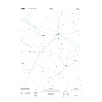 2013 Arvonia2013 Print · USGSBuckingham County's river-linked communities come into focus in this early twenty-first-century survey of the James and Slate River confluence. Researchers can trace the layout of Arvonia, Bremo Bluff, and LeSueur alongside local landmarks like the John H. Cocke Memorial Bridge.
 - 2013 Map of Boyd Tavern, 2013 Print
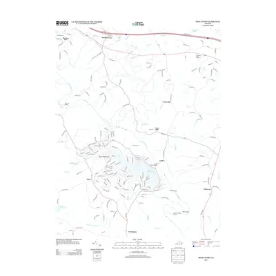 2013 Boyd Tavern2013 Print · USGSFluvanna County at the start of the 2010s shows a landscape where historic river settlements meet modern lakeside living. Trace the heritage of the Rivanna River corridor through Union Mills, Paynes Mill, and the namesake Boyd Tavern Ln.
 - 2013 Map of Diana Mills, 2013 Print
 2013 Diana Mills2013 Print · USGSBuckingham County's rural landscape is captured here in the early twenty-first century, centered on the Slate River and James River valley. Genealogists can trace family lands near Sunny Side, Diana Mills, and the riverside community of Hardware.
 - 2013 Map of Scottsville, 2013 Print
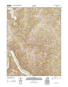 2013 Scottsville2013 Print · USGSAlbemarle County's riverfront comes into focus in this modern era, centered on the historic river town of Scottsville. Local researchers can trace family-named landmarks and water features like Jefferson Mill, Horseshoe Bend, and the rural settlement of Antioch.
 - 2013 Map of Zion Crossroads, 2013 Print
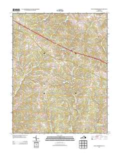 2013 Zion Crossroads2013 Print · USGSZion Crossroads and the surrounding Louisa County countryside are seen here in the early twenty-first century as modern growth follows older rural routes. Genealogists and local historians can trace family-named roads and rural communities like Bybee, Kents Store, and Zion.
 - 2013 Map of Palmyra, 2013 Print
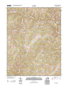 2013 Palmyra2013 Print · USGSFluvanna County's rural crossroads and river topography are documented here in the early twenty-first century. Genealogists and local researchers can trace family landmarks and community hubs like Kidds Store, Cohasset, and the Pembroke Petit Bridge.
 - 2013 Map of Lakeside Village, 2013 Print
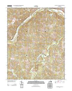 2013 Lakeside Village2013 Print · USGSThe rural Virginia Piedmont south of Columbia comes into focus in this modern era, showing a landscape defined by the James River and the Willis River. Researchers can locate family-named features and small hubs like Lakeside Village, Trenton Mills, and Stearnes.
 - 2013 Map of Columbia, 2013 Print
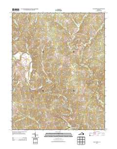 2013 Columbia2013 Print · USGSFluvanna County's river valleys and rural crossroads are captured here in the early twenty-first century as the landscape maintains its traditional settlement patterns. Researchers can trace local landmarks from Point of Fork to Stage Junction and locate old family-named routes like Miles Jackson Rd.
 - 2013 Map of Simeon, 2013 Print
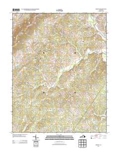 2013 Simeon2013 Print · USGSAlbemarle County's historic countryside comes into focus during the early twenty-first century as estate lands and mountain ridges shape the local landscape. Researchers can trace the footprints of noted properties like Ash Lawn, Blenheim Estate, and Morven while following the path of the Rivanna River.
 - 2013 Map of Ferncliff, 2013 Print
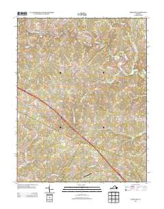 2013 Ferncliff2013 Print · USGSLouisa County in the early twenty-first century remains a landscape of traditional crossroads and river bends. Genealogists and historians can trace family-named routes and settlements like Byrd Mill, Bells Crossroads, and the small airfield at Payne Airport.
 - 2013 Map of Caledonia, 2013 Print
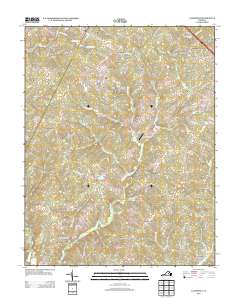 2013 Caledonia2013 Print · USGSGoochland County, Virginia, is captured here in the early 2010s, showcasing a landscape of traditional farmland and growing residential developments. Genealogists and local historians can trace the road networks around Caledonia, Tabscott, and Georges Landing.
 - 2016 Map of Caledonia, 2016 Print
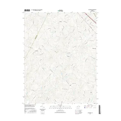 2016 Caledonia2016 Print · USGSGoochland and Fluvanna Counties at the turn of the twenty-first century reveal a landscape of enduring rural settlements and small family landmarks. Local historians can trace family roots through Bowles Cem and Payne Cem or explore the routes through Caledonia, Bula, and Hadensville.
Showing maps 1-25 of 60
Top cities of Fluvanna County
Frequently asked questions
- What are the different types of historical maps available for Fluvanna County?
- What is the oldest map of Fluvanna County?
- Where can I purchase historical maps of Fluvanna County for my home or office?
- Where can I download high-res historical maps of Fluvanna County?
- Are there historical topographic maps available for Fluvanna County?
- Is there historical aerial imagery available for Fluvanna County?
- Where are historical maps of Fluvanna County sourced from?