2000s (21st Century) Maps of Franklin County, Virginia
Explore 22 historic maps of Franklin County from the 2000s (21st Century). These maps offer a rare glimpse into what life looked like during the 2000s — showing old roads, neighborhoods, homes, and landmarks that have changed or disappeared over time.
Whether you're researching your family's past, planning a metal detecting trip, or studying how Franklin County's landscape evolved across the 2000s, these high-resolution maps are a powerful tool for exploring the history of this region.
- Focus on a specific era: All maps on this page are from the 2000s, giving you a focused view of this time period.
- See what’s changed: Compare century-old streets, trails, and buildings to today's modern landscape using overlays and satellite layers.
- Research with precision: Use these maps for genealogy, historical research, land use analysis, or educational projects.
- View, download, or print: Maps are fully viewable online in high resolution, and can be downloaded or printed for your own records.
Start exploring Franklin County's history through authentic maps from the 2000s. This is your window into the past.
Franklin County, VA maps
(22)- 2022 Map of Sandy Level, 2022 Print
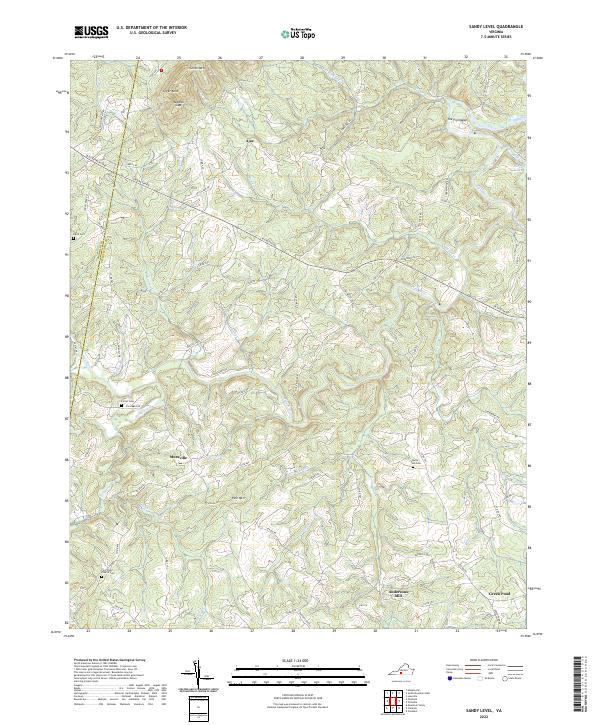 2022 Sandy Level2022 Print · USGSThe rural boundary of Franklin and Pittsylvania counties remains a land of winding river bends and family homesteads. Researchers can locate ancestral sites like the Five Forks Church Cem, the historic Andersons Mill, and the small settlement of Museville.
 - 2022 Map of Gladehill, 2022 Print
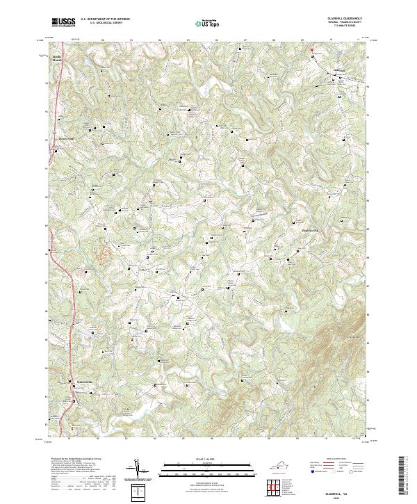 2022 Gladehill2022 Print · USGSFranklin County's rural character is preserved in this recent survey of the land around Gladehill and Sydnorsville. Genealogists and local historians can trace dozens of family burial sites like Hodges-Lynch Hall Cem and the legacy of Hopkins Mill along the Pigg River.
 - 2022 Map of Callaway, 2022 Print
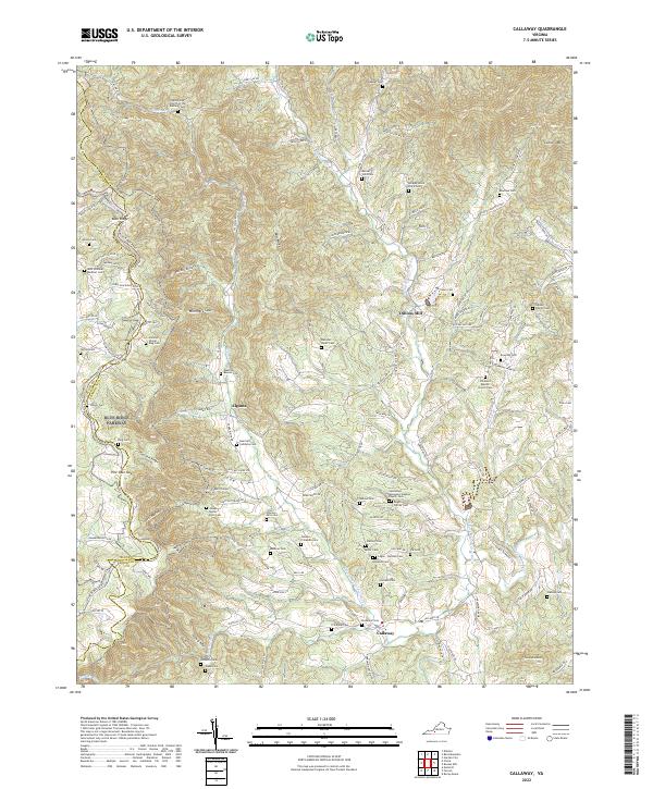 2022 Callaway2022 Print · USGSFranklin County's mountain hollows and river forks are documented here in the early twenty-first century. Researchers can trace family lineages through numerous remote burial sites, including the Guerrant Calloway Cem, Toney Cem, and Dillons Mill.
 - 2022 Map of Check, 2022 Print
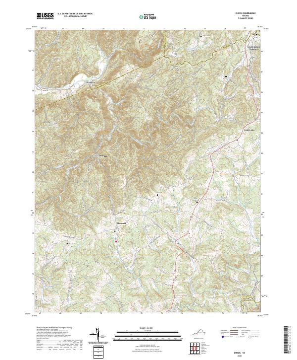 2022 Check2022 Print · USGSThe rural uplands of Floyd and Montgomery counties are captured in this modern survey of the Blue Ridge borderlands. Genealogists and historians can trace family locations through numerous sites like Halls Cem, Simpsons, and Salem Church Cem.
 - 2022 Map of Bassett, 2022 Print
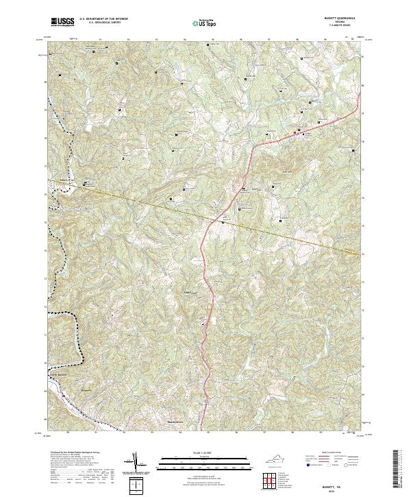 2022 Bassett2022 Print · USGSThe industrial corridor of Bassett and Stanleytown meets the Virginia foothills in this recent 2022 survey. Genealogists can locate dozens of family-named burial grounds, including the Lipscomb Thornton Cem and Hodges Franklin Cem, near Skelt Mtn.
 - 2022 Map of Snow Creek, 2022 Print
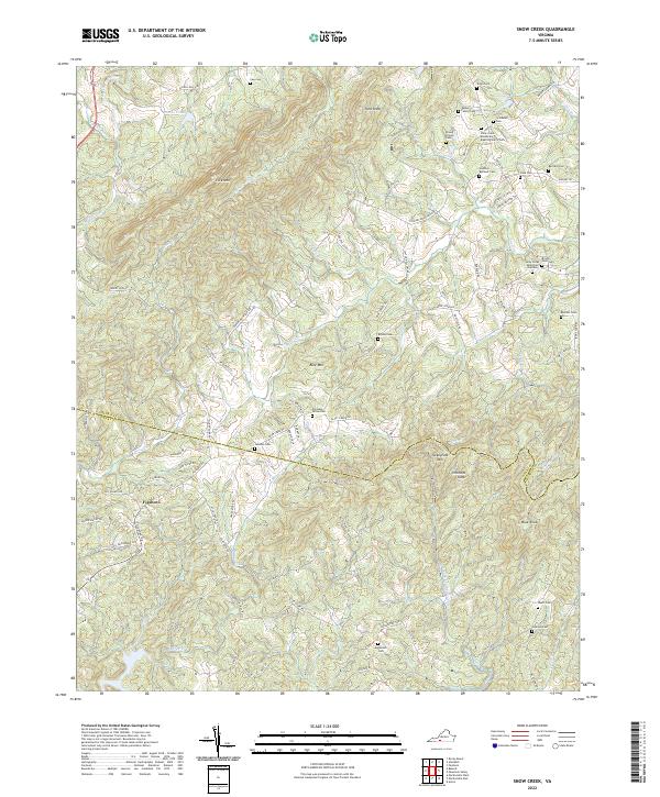 2022 Snow Creek2022 Print · USGSFranklin and Henry counties are captured here in the early twenty-first century, showing a deeply rooted rural landscape of the Virginia foothills. Researchers can locate numerous family burial sites and landmarks like Figsboro, the Hundley Beckner Cem, and Turkeycock Mtn.
 - 2022 Map of Penhook, 2022 Print
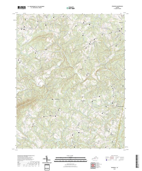 2022 Penhook2022 Print · USGSPenhook and the Franklin County borderlands are shown here in the 2020s, where the Pigg River meets Jacks Mtn. Researchers can trace family history through dozens of sites like Laprades Mill and the Anderson Family Cem.
 - 2022 Map of Rocky Mount, 2022 Print
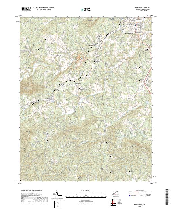 2022 Rocky Mount2022 Print · USGSRocky Mount and its surrounding Franklin County foothills are documented here in the early twenty-first century. Genealogists and local historians can trace dozens of family burial sites and rural landmarks, including the Tanyard Cemetery, Antioch Baptist Church, and the Franklin County Courthouse.
 - 2022 Map of Mountain Valley, 2022 Print
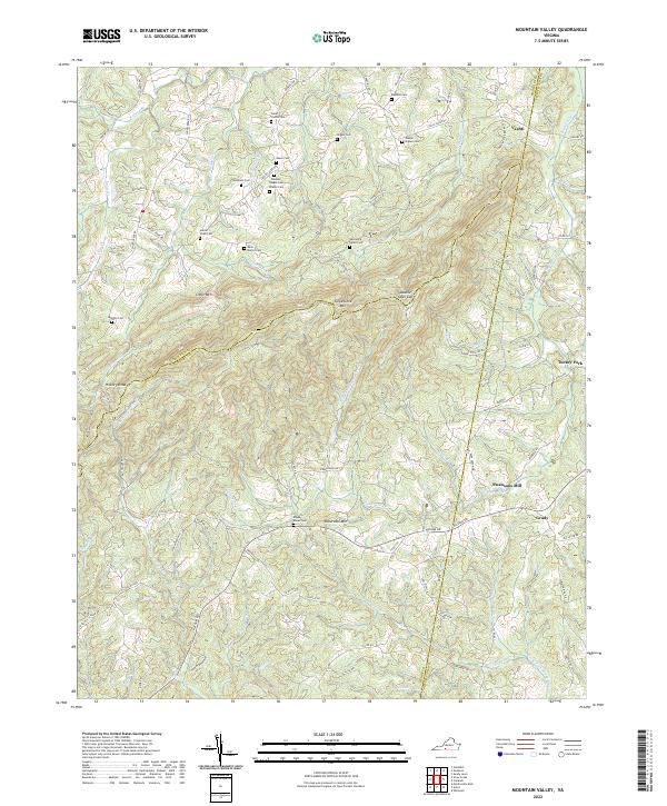 2022 Mountain Valley2022 Print · USGSSpanning the borders of Henry, Franklin, and Pittsylvania counties, this recent survey captures a landscape of steep ridges and family legacies. Researchers can locate numerous ancestral sites like Boones Chapel Cem and Swansons Mill near Turkeycock Mtn.
 - 2022 Map of Hardy, 2022 Print
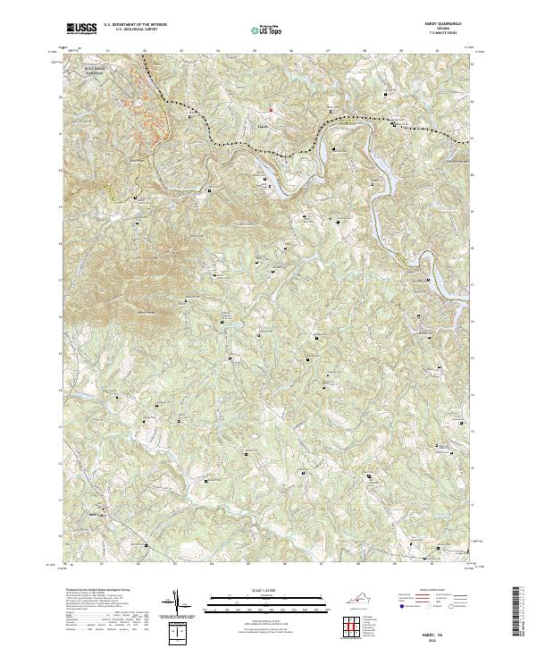 2022 Hardy2022 Print · USGSFranklin and Bedford counties are documented here in the early twenty-first century, showing the rural landscape around Hardy. Genealogists will find a wealth of family history in markers like Amos-Richardson Cem, Oylers Chapel Cem, and Robertson Altice Cem.
 - 2022 Map of Boones Mill, 2022 Print
 2022 Boones Mill2022 Print · USGSFranklin County's rural character is preserved in this recent survey of the Blue Ridge foothills. Researchers can trace ancestral locations through dozens of family cemeteries and church sites like Germantown Brick Church of the Brethren Cem and the Pate Cem.
 - 2022 Map of Redwood, 2022 Print
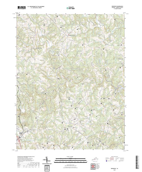 2022 Redwood2022 Print · USGSFranklin County in the early 2020s remains a landscape of deep family roots and river-valley settlements. Genealogists can trace family burial grounds like Altice Family Cem or find local landmarks such as Piedmont Mill and Redwood.
 - 2022 Map of Bent Mountain, 2022 Print
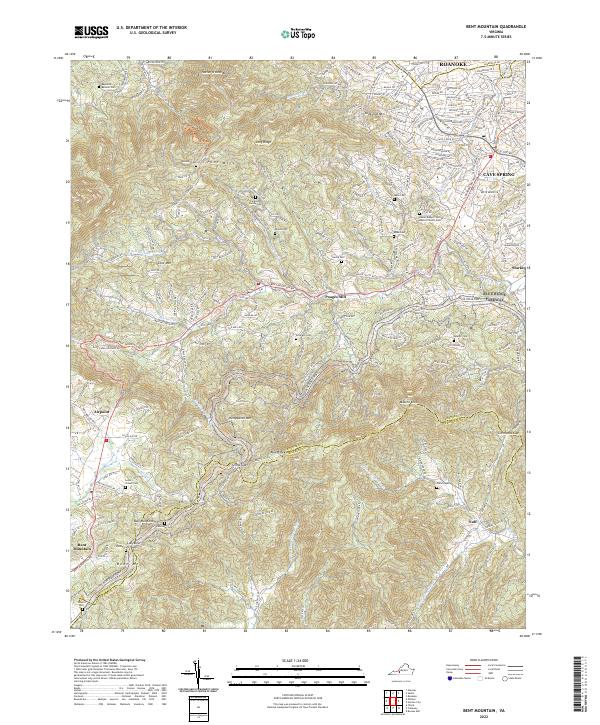 2022 Bent Mountain2022 Print · USGSThe rural heights and suburban edges south of Roanoke come into focus on this recent map of the Blue Ridge foothills. Genealogists can locate family landmarks such as Lancaster-Shilling Cem and Lewis-Powell Cem near Poages Mill.
 - 2022 Map of Elliston, 2022 Print
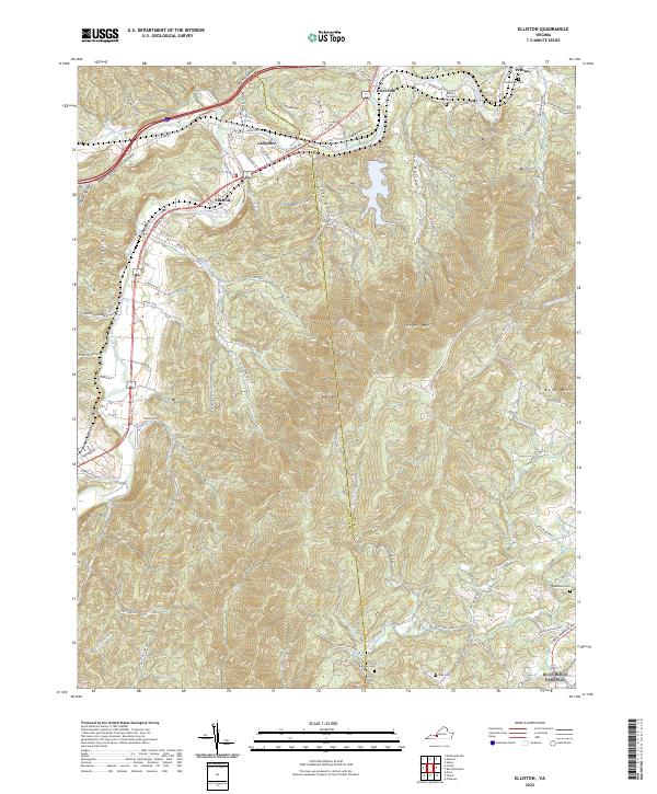 2022 Elliston2022 Print · USGSThe river forks at Elliston and Lafayette come into focus in this contemporary study of the Roanoke and Montgomery County line. Family historians can locate several rural burial grounds such as Bandy's Goodwin Cem and Lawrence Cem among the ridges of Poor Mtn.
 - 2022 Map of Endicott, 2022 Print
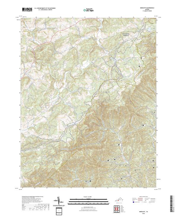 2022 Endicott2022 Print · USGSThe Blue Ridge highlands at the Floyd and Franklin county line are shown here in modern detail. Genealogists can locate numerous family landmarks like the Ingram Family Cemetery, John A Nolen Cemetery, and the settlement of Endicott.
 - 2022 Map of Charity, 2022 Print
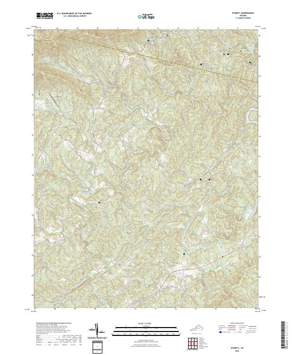 2022 Charity2022 Print · USGSThe Virginia Piedmont near the Patrick County borders is shown here in the 2020s, revealing a landscape deeply rooted in family history. Genealogists can locate numerous ancestral sites like the Goblintown Cem, McAlexander Cem, and the Moran Family Cem along the Smith River.
 - 2022 Map of Ferrum, 2022 Print
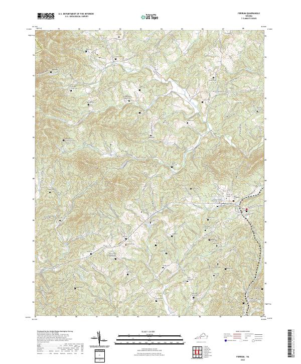 2022 Ferrum2022 Print · USGSThe foothills of the Blue Ridge come into sharp focus here in the early 2020s, centered on the campus of Ferrum College. Researchers can trace generations of local history through dozens of family-named sites like Phoebe Needles Cem and the James Harvey Bridges Cem.
 - 2022 Map of Philpott Lake, 2022 Print
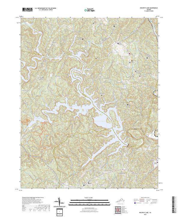 2022 Philpott Lake2022 Print · USGSThe Franklin and Patrick county lines meet along the winding shores of Philpott Lake in this contemporary topographic study. Genealogists can locate numerous family burial grounds and small congregations, such as the Meadows Sloan Cem and Mill Creek Baptist Church Cem.
 - 2022 Map of Garden City, 2022 Print
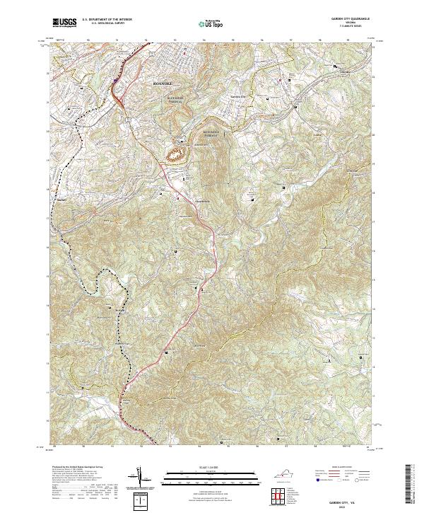 2022 Garden City2022 Print · USGSThe southern fringes of Roanoke meet the high ridges of the Blue Ridge Mountains in the early twenty-first century. Genealogists can trace family burial sites across the county line, from Miller Chapel Cem to the Hartman Family Cem and Oylers Cem.
 - 2022 Map of Moneta SW, 2022 Print
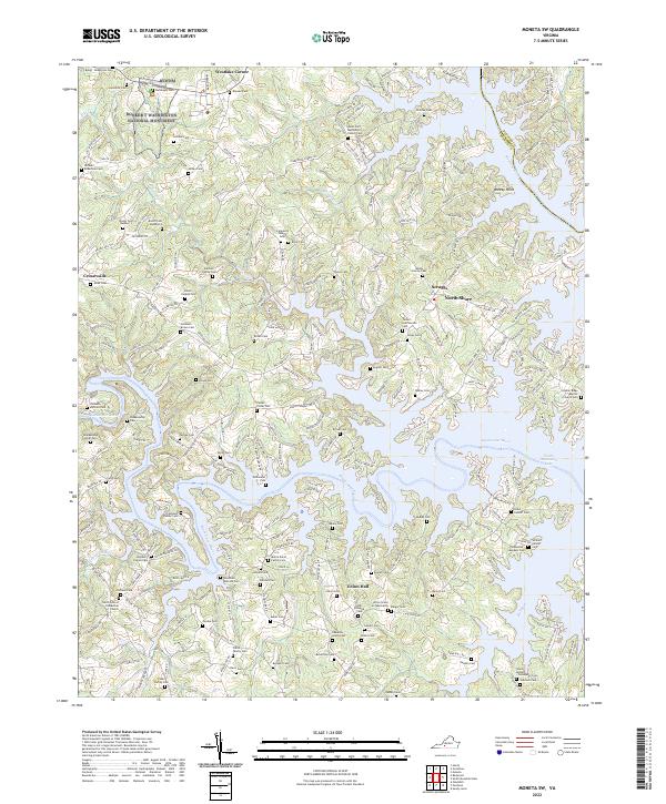 2022 Moneta SW2022 Print · USGSFranklin County's lakeside communities and historic family homesteads are preserved here in the early twenty-first century. Genealogists can trace hundreds of years of local history through family-named sites like Durham Family Cem, the Hales Ford Methodist Church, and the Booker T Washington National Monument.
 - 2022 Map of Goodview, 2022 Print
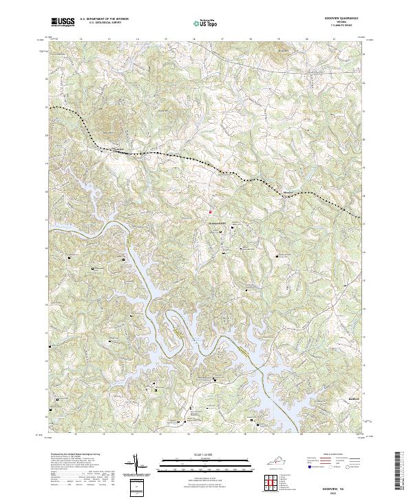 2022 Goodview2022 Print · USGSThe Roanoke River valley near Goodview was transformed by the waters of the Blue Ridge foothills. Researchers can trace dozens of family burial sites like Meador Mitchell Family Cem and Ellis Cem near the shores of Smith Mountain Lake.
 - 2022 Map of Smith Mountain Dam, 2022 Print
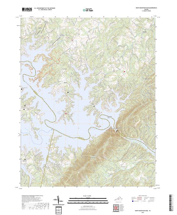 2022 Smith Mountain Dam2022 Print · USGSThe convergence of the Roanoke and Blackwater rivers in the twenty-first century reveals a landscape shaped by water and aviation. Researchers can trace family history through sites like the Toney Family Cem or locate local landmarks like the Red Birds Airyard and Mars Hill.
End of results
Showing maps 1-22 of 22
Top cities of Franklin County
- Rocky Mount historical maps
- North Shore historical maps
- Westlake Corner historical maps
- Union Hall historical maps
- Henry Fork historical maps
- Penhook historical maps
See more
Frequently asked questions
- What are the different types of historical maps available for Franklin County?
- What is the oldest map of Franklin County?
- Where can I purchase historical maps of Franklin County for my home or office?
- Where can I download high-res historical maps of Franklin County?
- Are there historical topographic maps available for Franklin County?
- Is there historical aerial imagery available for Franklin County?
- Where are historical maps of Franklin County sourced from?