Old Maps of Rocky Mount, Virginia for Metal Detecting
Plan your next treasure hunt with 40 historic maps of Rocky Mount. Find old homesites, ghost towns, trails, and gathering spots that may be lost to time — perfect for identifying promising metal detecting locations.
- Locate forgotten sites: Uncover places like long-lost settlements, abandoned rail lines, or gathering spots.
- Plan better hunts: Use map overlays combined with LiDAR or satellite views to narrow in on historically rich areas.
- Made for detectorists: Thousands of hobbyists use these maps to discover relics, coins, and hidden history.
Use these historic maps to boost your research and find new opportunities beneath the surface of Rocky Mount.
Rocky Mount, VA maps
(40)- 1890 Map of Roanoke
 1890 Roanoke1890 Print · USGSThe Roanoke Valley in the late nineteenth century was a growing rail and mining hub shaped by the Blue Ridge. Researchers can trace the early industrial footprint of the Rorer Mines or locate old community anchors like Dillons Mill and Hales Bridge.
 - 1891 Map of Roanoke
 1891 Roanoke1891 Print · USGSVirginia's Blue Ridge and Roanoke Valley come alive in the late nineteenth century, showing a landscape defined by new rail lines and old river crossings. Genealogists and local researchers can trace family landmarks and forgotten transport nodes like Rorer Mines, Hollins Inst., and Blackwater Ford.8 unique versions available
 - 1925 Map of Rocky Mount
 1925 Rocky Mount1925 Print · USGSFranklin and Henry counties are shown in the mid-twenties, a time when life centered on the river forks and mountain gaps. Trace early industrial footprints near Bassett or locate vanished local hubs like Sydnorsville, Cassells Mill, and Snow Cr School.
 - 1927 Map of Rocky Mount
 1927 Rocky Mount1927 Print · USGSThe upland terrain of Franklin and Henry counties is captured here in the mid-1920s, centered on the rail hub of Rocky Mount. Researchers can trace dozens of rural schoolhouses and family-tied landmarks like Cassells Mill, Waidboro PO, and Fork Mountain Church.3 unique versions available
 - 1944 Map of Rocky Mount
 1944 Rocky Mount1944 Print · USGSFranklin County's rural heartland is meticulously detailed in the 1940s, showing the early industrial growth of Bassett and the rail-connected hub of Rocky Mount. Genealogists can trace family landmarks and community centers like Cassell Cem, Pigg River Sch, and Ramsays Store.
 - 1947 Map of Roanoke, 1948 Print
 1947 Roanoke1948 Print · USGSCentral Virginia in the late 1940s reveals a region defined by its great mountain ridges and the powerful river-and-rail economy connecting Roanoke to Lynchburg. Researchers can trace the path of the Virginian RR and locate historic county seats like Charlotte Court House.2 unique versions available
 - 1951 Map of Boones Mill, 1953 Print
 1951 Boones Mill1953 Print · USGSFranklin and Roanoke Counties are captured in the early fifties, showing the Blue Ridge foothills before modern development. Genealogists can locate family landmarks such as Oylers Cem, Piedmont Mill, and several rural churches like St Pauls Ch and Brook Hill Ch.3 unique versions available
 - 1953 Map of Greensboro, 1981 Print
 1953 Greensboro1981 Print · USGSThe Piedmont borderlands of North Carolina and Virginia show a landscape defined by new reservoirs and old rail lines. Trace family roots and the changing river geography through Elon College, the John H Kerr Reservoir, and South Boston.
 - 1954 Map of Greensboro
 1954 Greensboro1954 Print · USGSThe Piedmont borderlands of North Carolina and Virginia come alive in this mid-fifties study of a region defined by its rivers and rails. Researchers can trace the growing Buggs Island Lake or follow the paths of the Southern Ry and Seaboard Air Line RR through towns like Oxford and Reidsville.
 - 1959 Map of Roanoke
 1959 Roanoke1959 Print · USGSCentral Virginia and the Blue Ridge appear in great detail during the late fifties, showcasing the transition from mountain industry to Piedmont farmland. Trace the path of the Norfolk and Western railroad or find old river towns like Appomattox and Amelia Court House.
 - 1962 Map of Greensboro
 1962 Greensboro1962 Print · USGSThe Piedmont region along the Virginia and North Carolina border comes alive in the early 1960s, showing a landscape defined by industry and new reservoirs. Trace the path of the Virginian RR or explore the early development of Greensboro and Durham.
 - 1963 Map of Roanoke
 1963 Roanoke1963 Print · USGSCentral Virginia and the Blue Ridge front appear here in the early sixties, caught between their deep railroad roots and new postwar developments. Genealogists and historians can trace the rail lines of the Norfolk and Western through towns like Bedford and Altavista, or locate family landmarks near Smith Mountain Lake.
 - 1963 Map of Boones Mill, 1965 Print
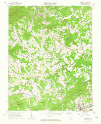 1963 Boones Mill1965 Print · USGSFranklin County in the 1960s was a network of small rail-side communities and upland farms connected by the Norfolk and Western. Researchers can trace family history at rural landmarks like Brick Ch, Gogginsville, and the Starkey Cem.3 unique versions available
 - 1963 Map of Redwood, 1965 Print
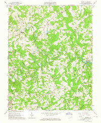 1963 Redwood1965 Print · USGSFranklin County's rural heartland is captured in the early sixties as the Smith Mountain Lake began to influence the local landscape. Genealogists and historians can trace dozens of family sites like Harper Cem or the namesake Redwood Sch and Piedmont Mill.4 unique versions available
 - 1964 Map of Gladehill, 1966 Print
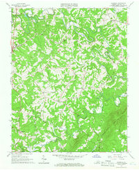 1964 Gladehill1966 Print · USGSFranklin County's rolling highlands come into sharp focus in the mid-sixties, showing a landscape of small Piedmont communities and river-fed valleys. Genealogists and local historians can trace family locations near Sontag Sch, Hopkins Mill, and Sydnorsville.3 unique versions available
 - 1965 Map of Rocky Mount, 1967 Print
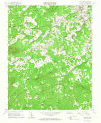 1965 Rocky Mount1967 Print · USGSFranklin County in the mid-sixties shows a landscape of river-valley towns and upland ridges shaped by the Norfolk and Western rail line. Genealogists can trace family footprints through sites like Waidsboro, Waid Sch, and Coles Creek Ch.3 unique versions available
 - 1966 Map of Greensboro
 1966 Greensboro1966 Print · USGSThe North Carolina and Virginia Piedmont thrives during the mid-sixties, showcasing a landscape of textile hubs and expanding river reservoirs. Researchers can trace the rail corridors of the Southern Railway, find local landmarks like Elon College, or locate the extensive Camp Butner Military Reservation.
 - 1971 Map of Roanoke, 1977 Print
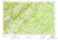 1971 Roanoke1977 Print · USGSThe Virginia Piedmont and Blue Ridge mountains meet in this early 1970s landscape of river valleys and rail hubs. Researchers can trace historic transportation routes and landmarks like the Appomattox Court House Nat Hist Pk, the Peaks of Otter, and Amelia Court House.2 unique versions available
 - 1984 Map of Danville
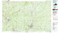 1984 Danville1984 Print · USGSThe Virginia and North Carolina borderlands in the mid-1980s reveal a landscape of industrial river towns and rural Piedmont crossroads. Genealogists and historians can trace family sites near Highland Burial Park, find local landmarks like the Patrick Henry Monument, and locate old settlements like Callands or Milton.
 - 1985 Map of Roanoke, 1986 Print
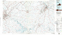 1985 Roanoke1986 Print · USGSMid-eighties Virginia comes into focus across the Blue Ridge and the upper Roanoke River valley during a period of steady regional growth. Genealogists and historians can trace family-named landmarks like Mt Moriah Ch, local hubs such as Cave Spring, and sites like the New London Airport (Drag Strip).2 unique versions available
 - 2011 Map of Boones Mill, 2011 Print
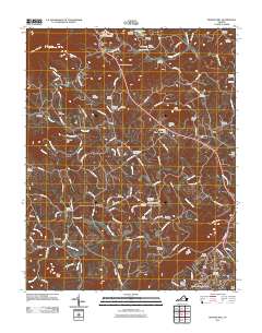 2011 Boones Mill2011 Print · USGSFranklin County's rural heritage is well-preserved in this modern survey of the communities south of the Blue Ridge. Researchers can map out dozens of family burial sites like Germantown Brick Cemetery and Boones Mill Cemetery near the banks of the Blackwater River.
 - 2011 Map of Rocky Mount, 2011 Print
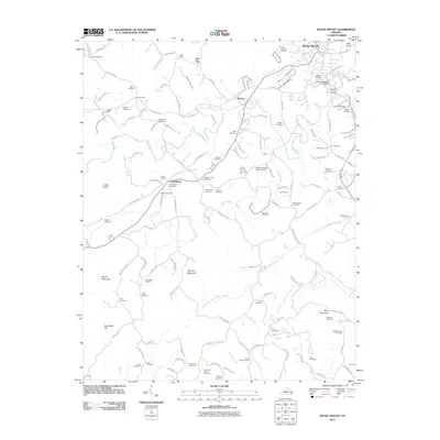 2011 Rocky Mount2011 Print · USGSFranklin County's rural landscape is captured here in the early twenty-first century as the county seat of Rocky Mount expands. Genealogists and historians can trace dozens of family-named burial sites and landmarks like Waidsboro, Sixmile Post, and Peter Saunders Bridge.
 - 2011 Map of Gladehill, 2011 Print
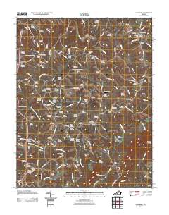 2011 Gladehill2011 Print · USGSFranklin County at the start of the 2010s shows a landscape of deep-rooted family settlements and winding river valleys. Genealogists and local historians can trace dozens of family-named burial sites like the Brooks-Metts-Smith Cemetery and historic hubs like Hopkins Mill.
 - 2012 Map of Redwood, 2012 Print
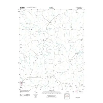 2012 Redwood2012 Print · USGSFranklin County's rolling landscape near Burnt Chimney is captured here just as modern development began to blend with its deep agrarian roots. Genealogists can locate dozens of family burial grounds like the Perdue-Lynch Cemetery or trace landmarks such as Piedmont Mill and the Brooks Mill Bridge.
 - 2013 Map of Rocky Mount, 2013 Print
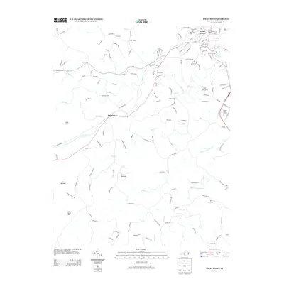 2013 Rocky Mount2013 Print · USGSFranklin County's landscape at the start of the 2010s shows a mix of growing town centers and enduring rural peaks. Genealogists and local historians can trace family-named landmarks from Rocky Mount to the rural expanses of Waidsboro and Oakes Dairy Farm.
Showing maps 1-25 of 40
Top cities near Rocky Mount
- North Shore historical maps
- Westlake Corner historical maps
- Union Hall historical maps
- Henry Fork historical maps
- Bassett historical maps
- Oak Level historical maps
See more
Frequently asked questions
- What are the different types of historical maps available for Rocky Mount?
- What is the oldest map of Rocky Mount?
- Where can I purchase historical maps of Rocky Mount for my home or office?
- Where can I download high-res historical maps of Rocky Mount?
- Are there historical topographic maps available for Rocky Mount?
- Is there historical aerial imagery available for Rocky Mount?
- Where are historical maps of Rocky Mount sourced from?