Old Maps of Vashti, Virginia for Metal Detecting
Plan your next treasure hunt with 14 historic maps of Vashti. Find old homesites, ghost towns, trails, and gathering spots that may be lost to time — perfect for identifying promising metal detecting locations.
- Locate forgotten sites: Uncover places like long-lost settlements, abandoned rail lines, or gathering spots.
- Plan better hunts: Use map overlays combined with LiDAR or satellite views to narrow in on historically rich areas.
- Made for detectorists: Thousands of hobbyists use these maps to discover relics, coins, and hidden history.
Use these historic maps to boost your research and find new opportunities beneath the surface of Vashti.
Vashti, VA maps
(14)- 1922 Map of Callands
 1922 Callands1922 Print · USGSIn the early 1920s, this pocket of rural Virginia was a landscape of river fords, local stores, and family-named mills. Researchers can trace the roots of small communities at Callands and Swansonville or locate long-standing landmarks like Boones Chapel and La Prades Mill.
 - 1924 Map of Callands
 1924 Callands1924 Print · USGSSouthern Virginia in the early twenties shows a landscape of ridges and river bends at the borders of Franklin, Henry, and Pittsylvania counties. Researchers can trace old family sites and rural infrastructure including Swansons Mill, Burnt Chimney, and the Fralin Bridge over the Pigg River.3 unique versions available
 - 1944 Map of Callands
 1944 Callands1944 Print · USGSThe rural Virginia Piedmont comes to life in the 1940s as schools, mills, and mountain gaps define the landscape near the Pigg River. Researchers can trace ancestral home sites and community hubs like Union Hall, Giles Mill, and the Mayflower Sch.
 - 1953 Map of Greensboro, 1981 Print
 1953 Greensboro1981 Print · USGSThe Piedmont borderlands of North Carolina and Virginia show a landscape defined by new reservoirs and old rail lines. Trace family roots and the changing river geography through Elon College, the John H Kerr Reservoir, and South Boston.
 - 1954 Map of Greensboro
 1954 Greensboro1954 Print · USGSThe Piedmont borderlands of North Carolina and Virginia come alive in this mid-fifties study of a region defined by its rivers and rails. Researchers can trace the growing Buggs Island Lake or follow the paths of the Southern Ry and Seaboard Air Line RR through towns like Oxford and Reidsville.
 - 1962 Map of Greensboro
 1962 Greensboro1962 Print · USGSThe Piedmont region along the Virginia and North Carolina border comes alive in the early 1960s, showing a landscape defined by industry and new reservoirs. Trace the path of the Virginian RR or explore the early development of Greensboro and Durham.
 - 1965 Map of Mountain Valley, 1967 Print
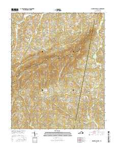
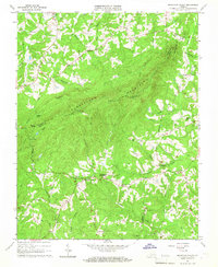 1965 Mountain Valley1967 Print · USGSThe rural borders of Henry and Franklin counties are captured here in the mid-1960s, showing a landscape of upland ridges and creek-side settlements. Researchers can locate historic hubs like Mountain Valley, Swansons Mill, and the Turkeycock Lookout Tower.3 unique versions available
 - 1966 Map of Greensboro
 1966 Greensboro1966 Print · USGSThe North Carolina and Virginia Piedmont thrives during the mid-sixties, showcasing a landscape of textile hubs and expanding river reservoirs. Researchers can trace the rail corridors of the Southern Railway, find local landmarks like Elon College, or locate the extensive Camp Butner Military Reservation.
 - 1984 Map of Danville
 1984 Danville1984 Print · USGSThe Virginia and North Carolina borderlands in the mid-1980s reveal a landscape of industrial river towns and rural Piedmont crossroads. Genealogists and historians can trace family sites near Highland Burial Park, find local landmarks like the Patrick Henry Monument, and locate old settlements like Callands or Milton.
 - 2011 Map of Mountain Valley, 2011 Print
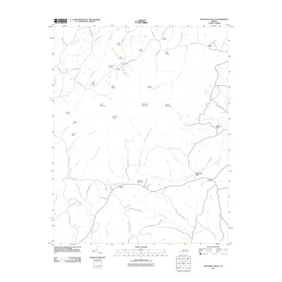 2011 Mountain Valley2011 Print · USGSCovers Vashti, including Grady, Swansons Mill, and other nearby areas
 - 2013 Map of Mountain Valley, 2013 Print
 2013 Mountain Valley2013 Print · USGSCovers Vashti, including Grady, Swansons Mill, and other nearby areas
 - 2016 Map of Mountain Valley, 2016 Print
 2016 Mountain Valley2016 Print · USGSCovers Vashti, including Grady, Swansons Mill, and other nearby areas
 - 2019 Map of Mountain Valley, 2019 Print
 2019 Mountain Valley2019 Print · USGSCovers Vashti, including Grady, Swansons Mill, and other nearby areas
 - 2022 Map of Mountain Valley, 2022 Print
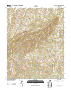
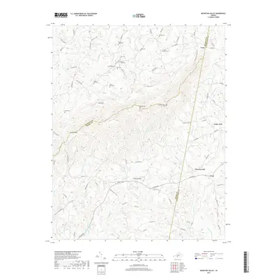
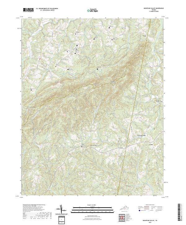 2022 Mountain Valley2022 Print · USGSSpanning the borders of Henry, Franklin, and Pittsylvania counties, this recent survey captures a landscape of steep ridges and family legacies. Researchers can locate numerous ancestral sites like Boones Chapel Cem and Swansons Mill near Turkeycock Mtn.
End of results
Showing maps 1-14 of 14
Top cities near Vashti
- Rocky Mount historical maps
- Mount Hermon historical maps
- North Shore historical maps
- Union Hall historical maps
- Penhook historical maps
Frequently asked questions
- What are the different types of historical maps available for Vashti?
- What is the oldest map of Vashti?
- Where can I purchase historical maps of Vashti for my home or office?
- Where can I download high-res historical maps of Vashti?
- Are there historical topographic maps available for Vashti?
- Is there historical aerial imagery available for Vashti?
- Where are historical maps of Vashti sourced from?