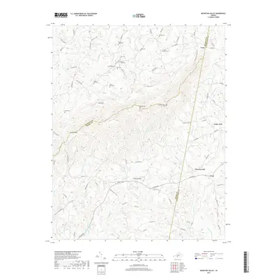
2019 Map of Mountain Valley
USGS Topo · Published 2019About this map
Turkeycock Mtn and its prominent Double-Oaks Gap dominate the center of this terrain, where the borders of Franklin, Henry, and Pittsylvania counties converge. The landscape is defined by high ridges like Little Mtn and Robertson Mtn, with a dense network of watercourses including Turkeycock Cr and Snow Cr draining the slopes. Small rural communities and historic industrial sites are scattered throughout, most notably the area around Swansons Mill and the settlements of Grady and Vashti.
Find a feature on this map
98 named features on this map. Tap any name to fly to it.
Don’t see what you’re looking for? This feature index may not catch every label — zoom into the map to look around manually.
Map Details
Editions of this 2019 Mountain Valley Map
This is the sole edition of this map. No revisions or reprints were ever made.
Other maps of this area

1922 · Callands
USGS Topo · 1:48,000

1924 · Martinsville
USGS Topo · 1:48,000

1924 · Draper
USGS Topo · 1:48,000

1924 · Callands
USGS Topo · 1:62,500

1925 · Rocky Mount
USGS Topo · 1:48,000

1926 · Martinsville
USGS Topo · 1:62,500

1926 · Draper
USGS Topo · 1:62,500

1927 · Rocky Mount
USGS Topo · 1:62,500

1927 · Martinsville
USGS Topo · 1:62,500

1944 · Martinsville
USGS Topo · 1:62,500