2000s (21st Century) Maps of Frederick County, Virginia
Explore 75 historic maps of Frederick County from the 2000s (21st Century). These maps offer a rare glimpse into what life looked like during the 2000s — showing old roads, neighborhoods, homes, and landmarks that have changed or disappeared over time.
Whether you're researching your family's past, planning a metal detecting trip, or studying how Frederick County's landscape evolved across the 2000s, these high-resolution maps are a powerful tool for exploring the history of this region.
- Focus on a specific era: All maps on this page are from the 2000s, giving you a focused view of this time period.
- See what’s changed: Compare century-old streets, trails, and buildings to today's modern landscape using overlays and satellite layers.
- Research with precision: Use these maps for genealogy, historical research, land use analysis, or educational projects.
- View, download, or print: Maps are fully viewable online in high resolution, and can be downloaded or printed for your own records.
Start exploring Frederick County's history through authentic maps from the 2000s. This is your window into the past.
Frederick County, VA maps
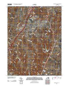
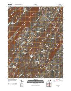
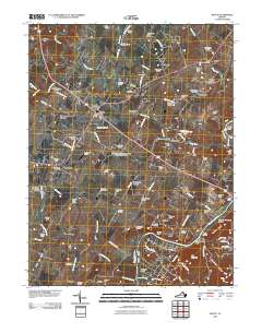
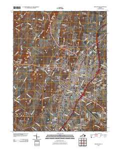
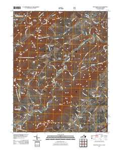
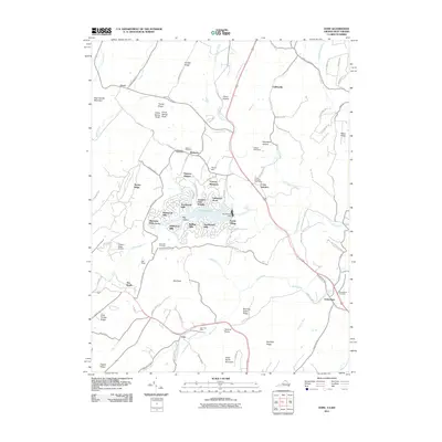
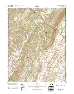
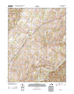
(75)- 2010 Map of Middletown, 2010 Print
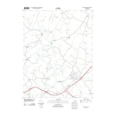 2010 Middletown2010 Print · USGSCovers Frederick County, including Strasburg, Middletown, and other nearby areas
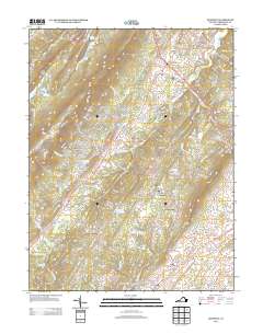
 - 2010 Map of Stephens City, 2010 Print
 2010 Stephens City2010 Print · USGSCovers Frederick County, including Stephens City, Armel, and other nearby areas
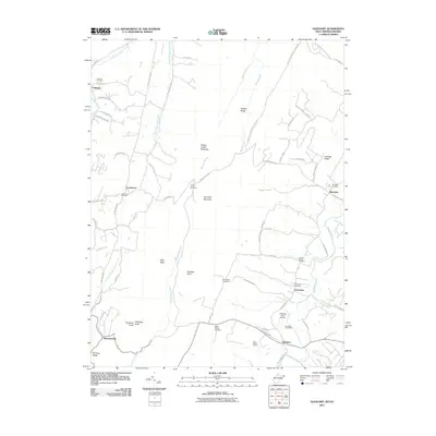
 - 2010 Map of Hayfield, 2010 Print
 2010 Hayfield2010 Print · USGSCovers Frederick County, including Shawneeland, Mount Pleasant, and other nearby areas
 - 2010 Map of Boyce, 2010 Print
 2010 Boyce2010 Print · USGSCovers Frederick County, including Shenandoah Farms, Boyce, and other nearby areas
 - 2010 Map of Winchester, 2010 Print
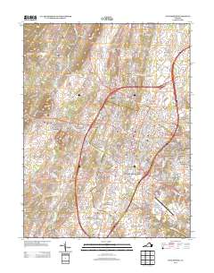
 2010 Winchester2010 Print · USGSCovers Frederick County, including Winchester, Chambersville, and other nearby areas
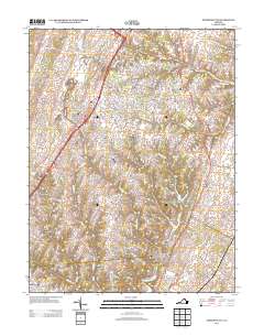
 - 2011 Map of Inwood, 2011 Print
 2011 Inwood2011 Print · USGSCovers Frederick County, including Inwood, Brucetown, and other nearby areas
 - 2011 Map of Glengary, 2011 Print
 2011 Glengary2011 Print · USGSCovers Frederick County, including Shanghai, Glengary, and other nearby areas
 - 2011 Map of Stephenson, 2011 Print
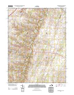
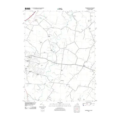 2011 Stephenson2011 Print · USGSCovers Frederick County, including Mount Pleasant, Burnt Factory, and other nearby areas
 - 2011 Map of Capon Bridge, 2011 Print
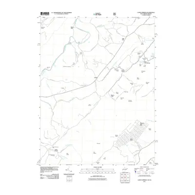
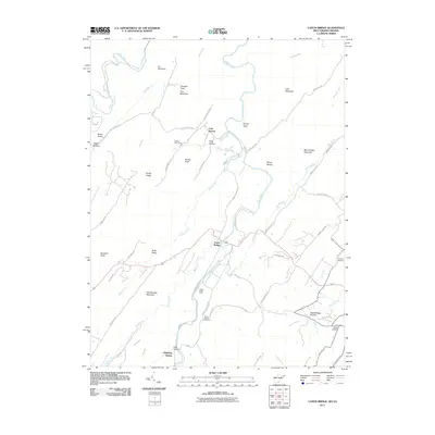 2011 Capon Bridge2011 Print · USGSCovers Frederick County, including Capon Bridge, Bubbling Spring, and other nearby areas
 - 2011 Map of Ridge, 2011 Print
 2011 Ridge2011 Print · USGSCovers Frederick County, including Ridge, Bloomery, and other nearby areas
 - 2011 Map of White Hall, 2011 Print
 2011 White Hall2011 Print · USGSCovers Frederick County, including Grimes, Chestnut Grove Estates, and other nearby areas
 - 2011 Map of Capon Springs, 2011 Print
 2011 Capon Springs2011 Print · USGSCovers Frederick County, including North Mountain Estates, Lehew, and other nearby areas
 - 2011 Map of Mountain Falls, 2011 Print
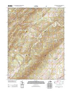
 2011 Mountain Falls2011 Print · USGSCovers Frederick County, including Strasburg, Star Tannery, and other nearby areas
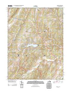
 - 2011 Map of Gore, 2011 Print
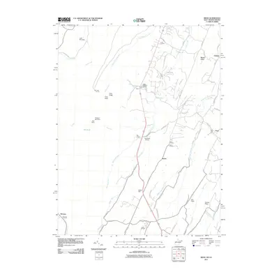
 2011 Gore2011 Print · USGSCovers Frederick County, including Lake Holiday, Gore, and other nearby areas
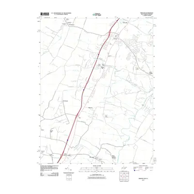
 - 2011 Map of Wardensville, 2011 Print
 2011 Wardensville2011 Print · USGSCovers Frederick County, including Wardensville, Shenandoah County, and other nearby areas
 - 2013 Map of Middletown, 2013 Print
 2013 Middletown2013 Print · USGSCovers Frederick County, including Strasburg, Middletown, and other nearby areas
 - 2013 Map of White Hall, 2013 Print
 2013 White Hall2013 Print · USGSCovers Frederick County, including Grimes, Chestnut Grove Estates, and other nearby areas
 - 2013 Map of Hayfield, 2013 Print
 2013 Hayfield2013 Print · USGSCovers Frederick County, including Shawneeland, Mount Pleasant, and other nearby areas
 - 2013 Map of Stephens City, 2013 Print
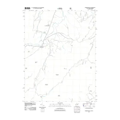
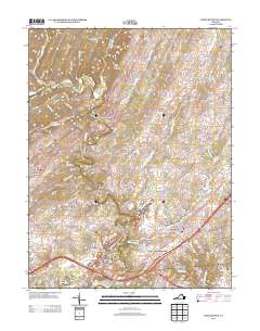
 2013 Stephens City2013 Print · USGSCovers Frederick County, including Stephens City, Armel, and other nearby areas
 - 2013 Map of Gore, 2013 Print
 2013 Gore2013 Print · USGSCovers Frederick County, including Lake Holiday, Gore, and other nearby areas
 - 2013 Map of Boyce, 2013 Print
 2013 Boyce2013 Print · USGSCovers Frederick County, including Shenandoah Farms, Boyce, and other nearby areas
 - 2013 Map of Mountain Falls, 2013 Print
 2013 Mountain Falls2013 Print · USGSCovers Frederick County, including Strasburg, Star Tannery, and other nearby areas
 - 2013 Map of Stephenson, 2013 Print
 2013 Stephenson2013 Print · USGSCovers Frederick County, including Mount Pleasant, Burnt Factory, and other nearby areas
 - 2013 Map of Winchester, 2013 Print
 2013 Winchester2013 Print · USGSCovers Frederick County, including Winchester, Chambersville, and other nearby areas
 - 2014 Map of Inwood, 2014 Print
 2014 Inwood2014 Print · USGSCovers Frederick County, including Inwood, Brucetown, and other nearby areas
Showing maps 1-25 of 75
Top cities of Frederick County
- Stephens City historical maps
- Shawneeland historical maps
- Lake Holiday historical maps
- Middletown historical maps
- Brucetown historical maps
- Gore historical maps
Frequently asked questions
- What are the different types of historical maps available for Frederick County?
- What is the oldest map of Frederick County?
- Where can I purchase historical maps of Frederick County for my home or office?
- Where can I download high-res historical maps of Frederick County?
- Are there historical topographic maps available for Frederick County?
- Is there historical aerial imagery available for Frederick County?
- Where are historical maps of Frederick County sourced from?