2000s (21st Century) Maps of Jordan Springs, Virginia
Explore 5 historic maps of Jordan Springs from the 2000s (21st Century). These maps offer a rare glimpse into what life looked like during the 2000s — showing old roads, neighborhoods, homes, and landmarks that have changed or disappeared over time.
Whether you're researching your family's past, planning a metal detecting trip, or studying how Jordan Springs's landscape evolved across the 2000s, these high-resolution maps are a powerful tool for exploring the history of this region.
- Focus on a specific era: All maps on this page are from the 2000s, giving you a focused view of this time period.
- See what’s changed: Compare century-old streets, trails, and buildings to today's modern landscape using overlays and satellite layers.
- Research with precision: Use these maps for genealogy, historical research, land use analysis, or educational projects.
- View, download, or print: Maps are fully viewable online in high resolution, and can be downloaded or printed for your own records.
Start exploring Jordan Springs's history through authentic maps from the 2000s. This is your window into the past.
Jordan Springs, VA maps
(5)- 2011 Map of Stephenson, 2011 Print
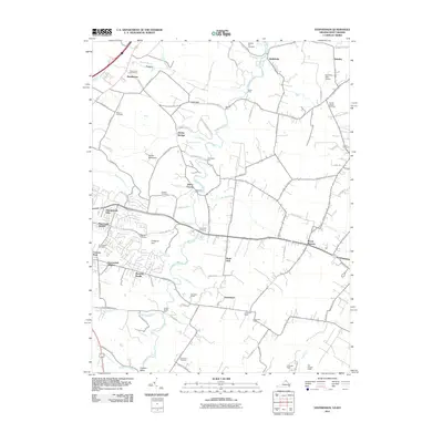 2011 Stephenson2011 Print · USGSCovers Jordan Springs, including Mount Pleasant, Burnt Factory, and other nearby areas
 - 2013 Map of Stephenson, 2013 Print
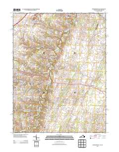 2013 Stephenson2013 Print · USGSCovers Jordan Springs, including Mount Pleasant, Burnt Factory, and other nearby areas
 - 2016 Map of Stephenson, 2016 Print
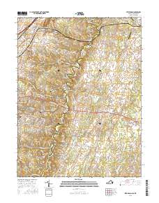 2016 Stephenson2016 Print · USGSCovers Jordan Springs, including Mount Pleasant, Burnt Factory, and other nearby areas
 - 2019 Map of Stephenson, 2019 Print
 2019 Stephenson2019 Print · USGSCovers Jordan Springs, including Mount Pleasant, Burnt Factory, and other nearby areas
 - 2022 Map of Stephenson, 2022 Print
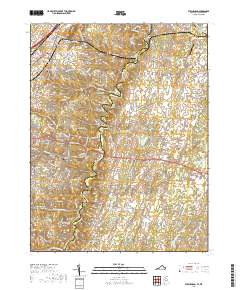
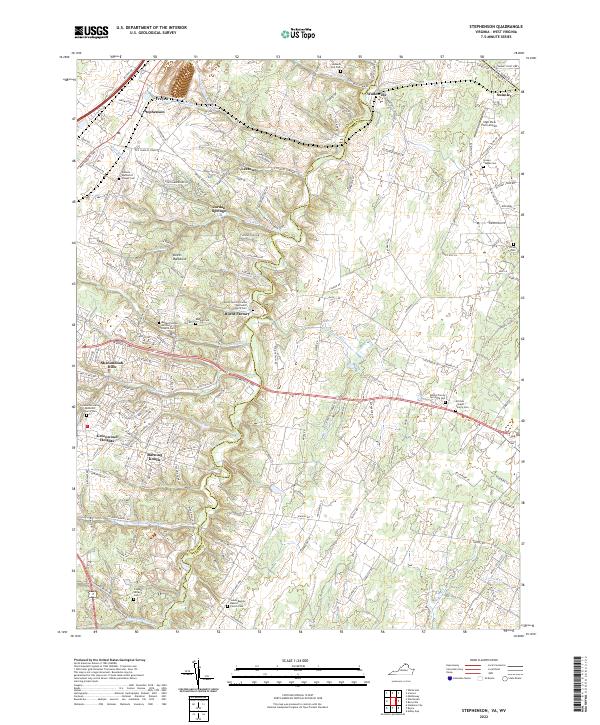 2022 Stephenson2022 Print · USGSThe borderlands of Frederick and Clarke Counties come into focus in this contemporary study of the northern Shenandoah Valley. Genealogists can trace family heritage at Stones Chapel Cemetery and Russell Family Cemetery or locate the old crossroads at Burnt Factory.
End of results
Showing maps 1-5 of 5
Top cities near Jordan Springs
- Winchester historical maps
- Martinsburg historical maps
- Charles Town historical maps
- Ranson historical maps
- Berryville historical maps
- Shenandoah Farms historical maps
See more
Frequently asked questions
- What are the different types of historical maps available for Jordan Springs?
- What is the oldest map of Jordan Springs?
- Where can I purchase historical maps of Jordan Springs for my home or office?
- Where can I download high-res historical maps of Jordan Springs?
- Are there historical topographic maps available for Jordan Springs?
- Is there historical aerial imagery available for Jordan Springs?
- Where are historical maps of Jordan Springs sourced from?