2000s (21st Century) Maps of Gloucester County, Virginia
Explore 60 historic maps of Gloucester County from the 2000s (21st Century). These maps offer a rare glimpse into what life looked like during the 2000s — showing old roads, neighborhoods, homes, and landmarks that have changed or disappeared over time.
Whether you're researching your family's past, planning a metal detecting trip, or studying how Gloucester County's landscape evolved across the 2000s, these high-resolution maps are a powerful tool for exploring the history of this region.
- Focus on a specific era: All maps on this page are from the 2000s, giving you a focused view of this time period.
- See what’s changed: Compare century-old streets, trails, and buildings to today's modern landscape using overlays and satellite layers.
- Research with precision: Use these maps for genealogy, historical research, land use analysis, or educational projects.
- View, download, or print: Maps are fully viewable online in high resolution, and can be downloaded or printed for your own records.
Start exploring Gloucester County's history through authentic maps from the 2000s. This is your window into the past.
Gloucester County, VA maps
(60)- 2010 Map of Williamsburg, 2010 Print
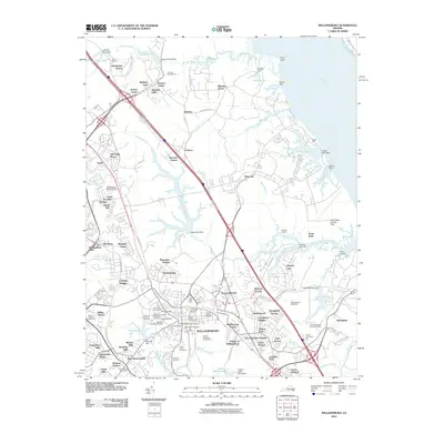 2010 Williamsburg2010 Print · USGSWilliamsburg at the start of the 2010s shows a unique blend of preserved colonial history and contemporary suburban expansion. Trace local family roots and early industry through sites like the Bruton Parish Churchyard, Bigler Mill, and the Galt Family Cemetery.
 - 2010 Map of Poquoson West, 2010 Print
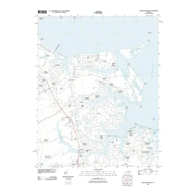 2010 Poquoson West2010 Print · USGSThe Virginia Peninsula is shown here in the early twenty-first century as a network of creek-side communities and maritime industry. Researchers can locate family landmarks like Zion Cemetery, the historic Harwoods Mill, and the coastal Tue Marshes Lighthouse.
 - 2010 Map of Clay Bank, 2010 Print
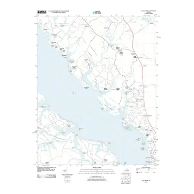 2010 Clay Bank2010 Print · USGSThe York River shoreline and Gloucester County interior are captured here just after the turn of the millennium. Local historians can trace family ties at Abingdon Cemetery or explore the maritime landscape around Clay Bank Landing and Rosewell.
 - 2010 Map of Yorktown, 2010 Print
 2010 Yorktown2010 Print · USGSCoastal Virginia near the start of the twenty-first century retains deep ties to its revolutionary and military past. Genealogists and historians can trace significant landmarks like the Yorktown National Cemetery, Poplar Hall Plantation, and the historic Surrender Road.
 - 2010 Map of Gloucester, 2010 Print
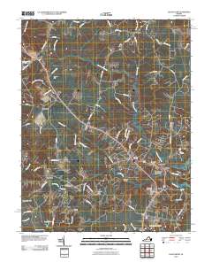 2010 Gloucester2010 Print · USGSGloucester County's historic heart and the surrounding coastal lowlands are captured here during a period of modern expansion. Genealogists and local historians can trace family roots at Old Bellamy Cemetery, Ware Cemetery, and the historic Gloucester Courthouse.
 - 2010 Map of Saluda, 2010 Print
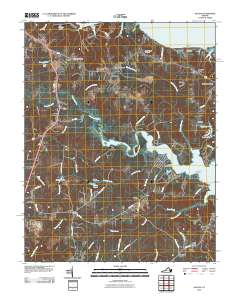 2010 Saluda2010 Print · USGSCoastal Middlesex County comes into focus in the early 21st century, showing a landscape shaped by river estuaries and old colonial crossroads. Trace local family history and maritime routes through Saluda Landing, Christ Church Cemetery, and Burhans Wharf on the Rappahannock.
 - 2010 Map of Ware Neck, 2010 Print
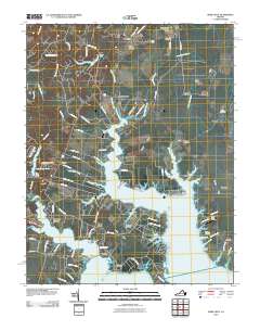 2010 Ware Neck2010 Print · USGSCoastal Virginia's Middle Peninsula is documented here at the turn of the 21st century, showing a landscape defined by tidal rivers and historic wharves. Researchers can trace family sites and landings at Hockley Wharf, Soles, and Emmaus Cemetery.
 - 2010 Map of Wilton, 2010 Print
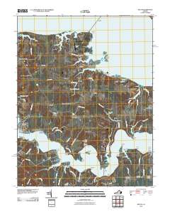 2010 Wilton2010 Print · USGSCoastal Middlesex County is shown here in the early twenty-first century, spanning the neck between the Rappahannock and Piankatank Rivers. Researchers can locate family landmarks like Mathews Chapel and Ebenezer Cemetery or trace the old water-access points at Blands Wharf and Stamper Landing.
 - 2011 Map of New Point Comfort, 2011 Print
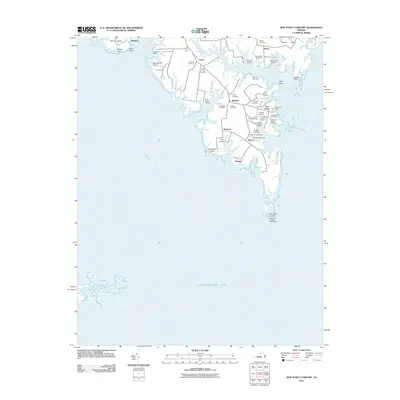 2011 New Point Comfort2011 Print · USGSThe Mathews County shoreline and its maritime settlements come into focus in the early twenty-first century. Genealogists can locate numerous small family plots like the Hurst Burial Ground and Grinnell Cemetery near coastal hubs like Bavon and New Point.
 - 2011 Map of Achilles, 2011 Print
 2011 Achilles2011 Print · USGSCoastal Gloucester County at the turn of the decade reveals a landscape shaped by the York and Severn Rivers. Genealogists can trace family names and local landmarks through sites like Saint Pauls Cemetery, Roanes Wharf, and the Achilles Post Office.
 - 2011 Map of Shacklefords, 2011 Print
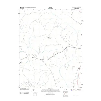 2011 Shacklefords2011 Print · USGSThe Virginia coastal plain in the early twenty-first century reveals a landscape shaped by tidal waters and rural crossroads. Local historians can trace the geography of communities like Shacklefords, Owl Trap, and the quiet grounds of Hockley Cemetery.
 - 2011 Map of Gressitt, 2011 Print
 2011 Gressitt2011 Print · USGSCoastal Virginia near the York River is mapped here in the early twenty-first century, showing a landscape defined by tidal creeks and historic landings. Genealogists and local historians can trace family-named sites like Allmonds Wharf, Christensons Corner, and Capahosic Landing.
 - 2013 Map of Gloucester, 2013 Print
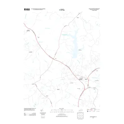 2013 Gloucester2013 Print · USGSGloucester County during the early twenty-first century reveals a mix of historic crossroads and modern waterfront development. Researchers can trace family-named sites and landmarks from Gloucester Courthouse to Howards Mill and the crossroads at Sassafras.
 - 2013 Map of Williamsburg, 2013 Print
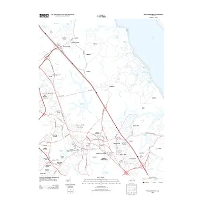 2013 Williamsburg2013 Print · USGSWilliamsburg at the start of the 2010s reveals a sophisticated blend of colonial preservation and modern infrastructure. Researchers can pinpoint historic landmarks like the Governor's Palace and Bigler Mill alongside newer neighborhoods like Skipwith Farms.
 - 2013 Map of Saluda, 2013 Print
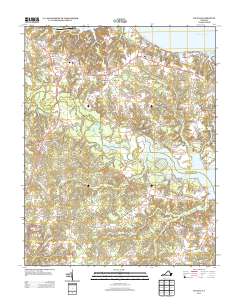 2013 Saluda2013 Print · USGSCoastal Virginia's Tidewater region comes to life in this survey of Middlesex County during the early 2010s. Researchers can trace the riverfront landings and rural crossroads from Christchurch and Locust Hill to the banks of the Piankatank River.
 - 2013 Map of Shacklefords, 2013 Print
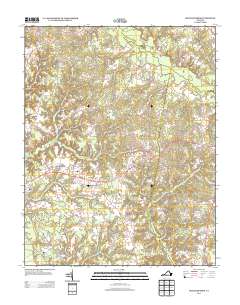 2013 Shacklefords2013 Print · USGSCoastal Virginia’s rural crossroads and swamp-fed tributaries come into focus in this early 21st-century record. Genealogists and local researchers can trace family-named sites and small settlements from Owl Trap and Shacklefords to the banks of the Poropotank River.
 - 2013 Map of Wilton, 2013 Print
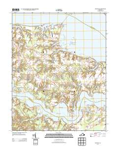 2013 Wilton2013 Print · USGSCoastal life in Middlesex County is centered on the peninsula between the Rappahannock and Piankatank rivers. Historians and researchers can trace local landmarks like Stampers Wharf, the grounds of Royal Ambassador Camp, and settlements such as Harmony Village and Nohead Bottom.
 - 2013 Map of Ware Neck, 2013 Print
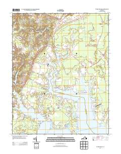 2013 Ware Neck2013 Print · USGSCoastal life in Gloucester County thrives along the intricate creeks and rivers of this maritime landscape in the early twenty-first century. Genealogists and historians can trace the landings and points of family significance like Auburn Wharf, Hockley Wharf, and Fort Nonsense.
 - 2013 Map of Gressitt, 2013 Print
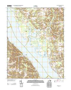 2013 Gressitt2013 Print · USGSCoastal Virginia's riverine heritage is on full display in this modern survey of the York River and its many marshy tributaries. Genealogists and local historians can trace the landings and crossroads of Gloucester County, including Allmonds Wharf, Christensons Corner, and the Bell Rock Lighthouse.
 - 2013 Map of Yorktown, 2013 Print
 2013 Yorktown2013 Print · USGSYorktown and the Lower Peninsula are shown here in the early twenty-first century, balancing modern suburban growth with significant colonial landmarks. Researchers can trace the layout of Poplar Hall Plantation, locate the Surrender Ground, or study the footprints of Lee Hall and Denbigh.
 - 2013 Map of New Point Comfort, 2013 Print
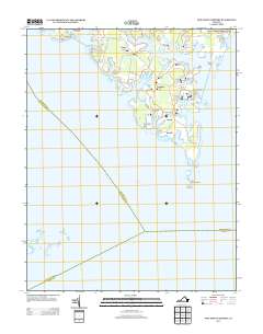 2013 New Point Comfort2013 Print · USGSThe Mathews County coast in 2013 shows a community deeply tied to its tidal inlets and the Chesapeake Bay. Genealogists and maritime historians can trace local family landmarks like the Owen Burial Ground or the historic New Point Comfort Lighthouse.
 - 2013 Map of Clay Bank, 2013 Print
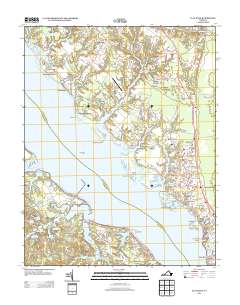 2013 Clay Bank2013 Print · USGSThe York River shoreline and its tidal estuaries are captured here in the early 2010s, showing a blend of maritime history and modern naval infrastructure. Genealogists and local historians can trace the estates and communities of Rosewell, Hermitage, and Ordinary, or locate the Cheatham Annex and Pages Rock Light.
 - 2013 Map of Achilles, 2013 Print
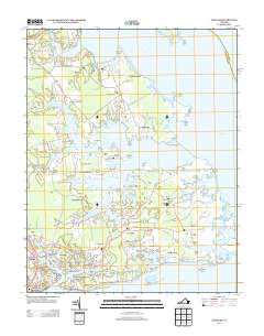 2013 Achilles2013 Print · USGSCoastal Gloucester County is captured here in the early twenty-first century, showcasing the deep-water culture of the Virginia Tidewater. Researchers can trace family landings and small communities from Gloucester Point and Achilles to Maryus and Roanes Wharf.
 - 2013 Map of Poquoson West, 2013 Print
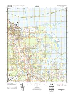 2013 Poquoson West2013 Print · USGSThe Virginia Peninsula comes into focus in this recent study of the coastal reaches between the York River and Chesapeake Bay. Researchers can trace the modern waterfront from the Yorktown Refinery to residential clusters like Poquoson Shores and Robanna Shores.
 - 2016 Map of Achilles, 2016 Print
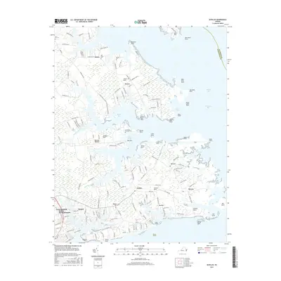 2016 Achilles2016 Print · USGSCoastal Virginia's Gloucester County shoreline comes to life in this survey of the peninsula's intricate marshes and hamlets. Genealogists and historians can trace family locations near Old Groves Memorial Cem and the communities of Achilles and Bena.
Showing maps 1-25 of 60
Top cities of Gloucester County
Frequently asked questions
- What are the different types of historical maps available for Gloucester County?
- What is the oldest map of Gloucester County?
- Where can I purchase historical maps of Gloucester County for my home or office?
- Where can I download high-res historical maps of Gloucester County?
- Are there historical topographic maps available for Gloucester County?
- Is there historical aerial imagery available for Gloucester County?
- Where are historical maps of Gloucester County sourced from?