Old Maps of Pleasant Shade, Virginia for Academic Research
Study the evolution of Pleasant Shade with 12 high-resolution historic maps. Whether you're teaching, researching, or modeling changes in land use, these maps provide essential visual documentation of urban, environmental, and geographic change.
- Analyze long-term change: Track patterns in development, transportation, and natural features.
- Ideal for environmental or urban studies: Support academic projects with primary historical map data.
- Use in the classroom or lab: Educators and researchers rely on these maps to bring historical context to life.
These maps are a powerful tool for teaching, research, and visualizing how Pleasant Shade has changed over the decades.
Pleasant Shade, VA maps
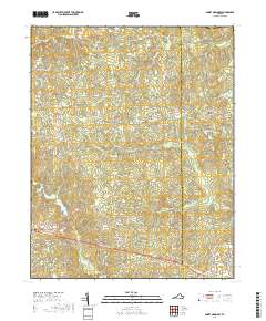
(12)- 1919 Map of Mc Kenney
 1919 Mc Kenney1919 Print · USGSSouthside Virginia at the close of the Great War was a region defined by its river crossings and small-town commerce. Genealogists can trace family roots through numerous local landmarks like Smoky Ordinary, Big Bethel Church, and the Drumgoole School.
 - 1921 Map of Mc Kenney
 1921 Mc Kenney1921 Print · USGSSouthern Virginia at the turn of the decade reveals a landscape of tobacco-country schools, churches, and river crossings. Trace the old rail lines of the Virginian and find local landmarks like Smoky Ordinary, Barnes and Parsons Store, and Laxottes Ford.2 unique versions available
 - 1943 Map of Mc Kenney
 1943 Mc Kenney1943 Print · USGSSouthside Virginia's rural landscape is captured here during the mid-forties, showing the vital rail-and-river network of Dinwiddie and Brunswick counties. Genealogists can trace family footprints at dozens of sites like Big Bethel Church, Drumgoole School, and the Barnes and Parsons Store.
 - 1953 Map of Norfolk, 1954 Print
 1953 Norfolk1954 Print · USGSCoastal Virginia and northeastern North Carolina appear here during the post-war industrial boom, showing the critical rail-and-sea connections of Hampton Roads. Genealogists can trace family roots through rural landmarks like Gethsemane Ch, the Caledonia State Prison Farm, and the vast interior of the Dismal Swamp.4 unique versions available
 - 1963 Map of Smoky Ordinary, 1964 Print
 1963 Smoky Ordinary1964 Print · USGSSouthern Brunswick County appears in the early sixties as a region of small rail stops and country parishes. Genealogists and historians can trace family locations near Smoky Ordinary, Mallory Sch, or the several churches like Emmanuel Ch along the NORFOLK AND WESTERN line.3 unique versions available
 - 1984 Map of Emporia, 1986 Print
 1984 Emporia1986 Print · USGSSouthside Virginia and the North Carolina borderlands are captured here in the mid-1980s, centered on the transit hub of Emporia. Researchers can trace old rail corridors like the Seaboard System or locate historic sites including Fort Christanna and White Oak Ch.
 - 1990 Map of Emporia
 1990 Emporia1990 Print · USGSThe Southside Virginia borderlands are captured here in the late twentieth century, showing the critical rail and river networks of the region. Genealogists and local historians can trace family roots through rural communities like Alberta, Boykins, and Dolphin along the Meherrin River.
 - 2010 Map of Smoky Ordinary, 2010 Print
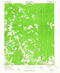
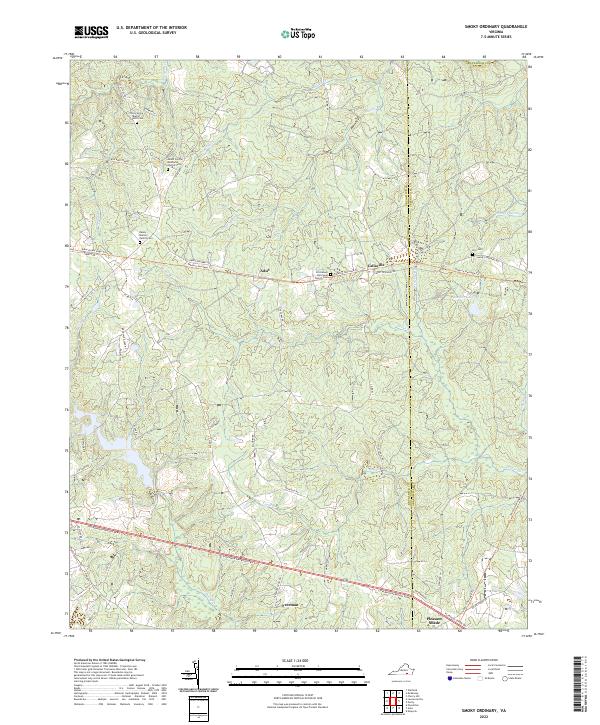
 2010 Smoky Ordinary2010 Print · USGSCovers Pleasant Shade, including Callaville, Adsit, and other nearby areas
 - 2013 Map of Smoky Ordinary, 2013 Print
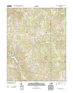 2013 Smoky Ordinary2013 Print · USGSCovers Pleasant Shade, including Callaville, Adsit, and other nearby areas
 - 2016 Map of Smoky Ordinary, 2016 Print
 2016 Smoky Ordinary2016 Print · USGSCovers Pleasant Shade, including Callaville, Adsit, and other nearby areas
 - 2019 Map of Smoky Ordinary, 2019 Print
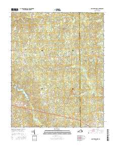
 2019 Smoky Ordinary2019 Print · USGSCovers Pleasant Shade, including Callaville, Adsit, and other nearby areas
 - 2022 Map of Smoky Ordinary, 2022 Print
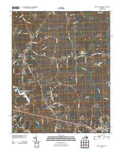
 2022 Smoky Ordinary2022 Print · USGSBrunswick County rural life remains centered on traditional church communities and family land in the 2020s. Trace local roots and landmarks like Zion Cem, the Raney - Mallory Family Cem, and the path of the Tobacco Heritage Trl.
End of results
Showing maps 1-12 of 12
Top cities near Pleasant Shade
Frequently asked questions
- What are the different types of historical maps available for Pleasant Shade?
- What is the oldest map of Pleasant Shade?
- Where can I purchase historical maps of Pleasant Shade for my home or office?
- Where can I download high-res historical maps of Pleasant Shade?
- Are there historical topographic maps available for Pleasant Shade?
- Is there historical aerial imagery available for Pleasant Shade?
- Where are historical maps of Pleasant Shade sourced from?