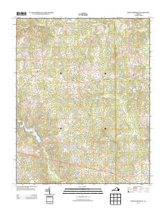
2013 Map of Smoky Ordinary
USGS Topo · Published 2013About this map
Poarch Store and the namesake community of Smoky Ordinary anchor this corner of Brunswick County, where the landscape is defined by the headwaters of numerous southward-draining streams. The map reveals a rural topography structured by historic travel routes like Old Stage Rd, which bisects the northern terrain. Small hubs such as Adsit, Callaville, and Freeman are connected by a network of winding local roads, including Smoky Ordinary Rd and Mount Carmel Rd.
Find a feature on this map
56 named features on this map. Tap any name to fly to it.
Don’t see what you’re looking for? This feature index may not catch every label — zoom into the map to look around manually.
Map Details
Editions of this 2013 Smoky Ordinary Map
This is the sole edition of this map. No revisions or reprints were ever made.
Other maps of this area

1918 · Lawrenceville
USGS Topo · 1:62,500

1919 · Mc Kenney
USGS Topo · 1:48,000

1919 · White Plains
USGS Topo · 1:48,000

1919 · Emporia
USGS Topo · 1:62,500

1920 · Lawrenceville
USGS Topo · 1:48,000

1920 · White Plains
USGS Topo · 1:62,500

1921 · Mc Kenney
USGS Topo · 1:62,500

1921 · Lawrenceville
USGS Topo · 1:62,500

1942 · Lawrenceville
USGS Topo · 1:62,500

1942 · Emporia
USGS Topo · 1:62,500