Old Maps of Meadowdale, Virginia for Academic Research
Study the evolution of Meadowdale with 13 high-resolution historic maps. Whether you're teaching, researching, or modeling changes in land use, these maps provide essential visual documentation of urban, environmental, and geographic change.
- Analyze long-term change: Track patterns in development, transportation, and natural features.
- Ideal for environmental or urban studies: Support academic projects with primary historical map data.
- Use in the classroom or lab: Educators and researchers rely on these maps to bring historical context to life.
These maps are a powerful tool for teaching, research, and visualizing how Meadowdale has changed over the decades.
Meadowdale, VA maps
(13)- 1901 Map of Monterey, 1905 Print
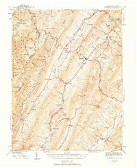
 1901 Monterey1905 Print · USGSThe high Allegheny ridges of Highland and Bath Counties are shown at the turn of the century when isolated valley settlements were linked by winding mountain gaps. Genealogists can trace early homesteads and commerce centers like Cleeks Mills, Mountaingrove, and New Hampden.8 unique versions available
 - 1941 Map of Monterey, 1963 Print
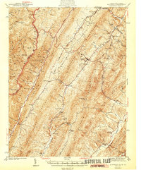
 1941 Monterey1963 Print · USGSHighland County at the start of the 1940s reveals a network of high-valley settlements and strategic turnpikes. Trace the locations of early schools and churches like Strait Creek School and Union Chapel near the South Branch of the Potomac.2 unique versions available
 - 1944 Map of Monterey
 1944 Monterey1944 Print · USGSHighland County at the height of the Second World War remains a land of high ridges and isolated mountain valleys. Genealogists can trace family footprints across Bluegrass Valley and locate landmarks like Hamilton Chapel, Possum Trot, and the Strait Creek Sch.2 unique versions available
 - 1949 Map of Charlottesville
 1949 Charlottesville1949 Print · USGSThe Shenandoah Valley and Blue Ridge appear in the late 1940s as a thriving corridor of rail and river commerce. Researchers can trace the mid-century footprints of Harrisonburg, Staunton, and Culpeper alongside the historic routes of the Southern Railway.2 unique versions available
 - 1956 Map of Charlottesville, 1966 Print
 1956 Charlottesville1966 Print · USGSThe Shenandoah Valley and Blue Ridge are captured in detail during the mid-1960s as the modern interstate system began to emerge. Genealogists and historians can trace rail-connected hubs like Waynesboro or follow the river paths of the Rapidan River and Rivanna River.4 unique versions available
 - 1969 Map of Hightown, 1971 Print
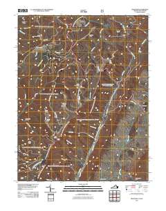
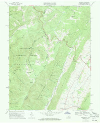 1969 Hightown1971 Print · USGSThe high ridges of Highland County are captured in the late sixties, where the Virginia and West Virginia border meets. Genealogists can locate small community cemeteries, Pisgah Ch, and the high-elevation settlements of Hightown and Meadowdale.3 unique versions available
 - 1986 Map of Staunton
 1986 Staunton1986 Print · USGSThe Shenandoah Valley and Allegheny Highlands meet in the mid-1980s, revealing a landscape of historic mountain towns and thermal resorts. Genealogists and historians can trace institutional landmarks like Mary Baldwin College or follow the legacy of the Chesapeake and Ohio Railroad through Craigsville and Swoope.2 unique versions available
 - 1995 Map of Hightown, 1998 Print
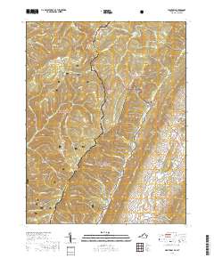
 1995 Hightown1998 Print · USGSThe high ridges of the Alleghenies straddle the Virginia and West Virginia border in the mid-nineties, where two national forests meet. Trace old mountain roads and sites like Top of Allegheny Camp Allegheny, the village of Hightown, and Pisgah Ch.
 - 2011 Map of Hightown, 2011 Print
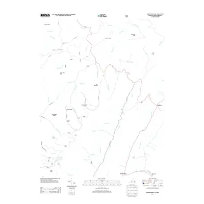
 2011 Hightown2011 Print · USGSCovers Meadowdale, including Hightown, Highland County, and other nearby areas
 - 2013 Map of Hightown, 2013 Print
 2013 Hightown2013 Print · USGSCovers Meadowdale, including Hightown, Highland County, and other nearby areas
 - 2016 Map of Hightown, 2016 Print
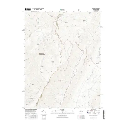 2016 Hightown2016 Print · USGSCovers Meadowdale, including Hightown, Highland County, and other nearby areas
 - 2019 Map of Hightown, 2019 Print
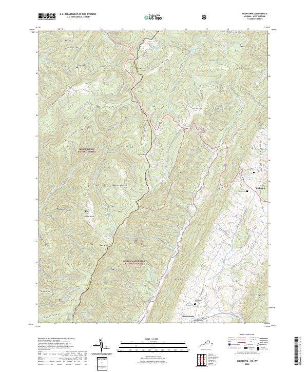
 2019 Hightown2019 Print · USGSCovers Meadowdale, including Hightown, Highland County, and other nearby areas
 - 2022 Map of Hightown, 2022 Print
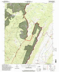
 2022 Hightown2022 Print · USGSThe Virginia Highlands come into focus in the early 2020s, showing the pastoral headwaters of the Jackson River. Researchers can trace old family roots at the Hevener Family Cem or follow the path of the Mountain Tpke through Hightown.
End of results
Showing maps 1-13 of 13
Top cities near Meadowdale
Frequently asked questions
- What are the different types of historical maps available for Meadowdale?
- What is the oldest map of Meadowdale?
- Where can I purchase historical maps of Meadowdale for my home or office?
- Where can I download high-res historical maps of Meadowdale?
- Are there historical topographic maps available for Meadowdale?
- Is there historical aerial imagery available for Meadowdale?
- Where are historical maps of Meadowdale sourced from?