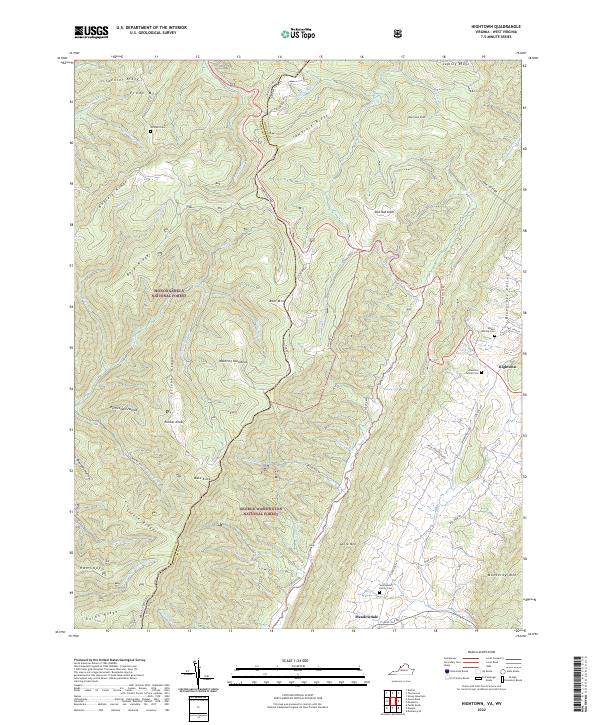
2022 Map of Hightown
USGS Topo · Published 2022About this map
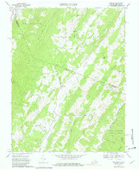
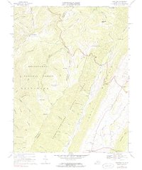
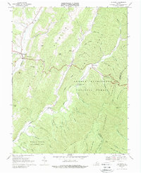
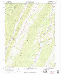
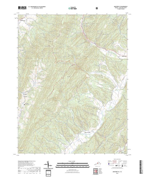
Hightown sits at a critical geographic junction in the Virginia Highlands, marking the headwaters of the Jackson River in the fertile Bluegrass Valley. This landscape is defined by the high ridges of the Allegheny Mountains, including Monterey Mtn and Lantz Mtn, which separate the pastoral valley floors from the dense timberlands of the Monongahela National Forest and George Washington National Forest. A notable feature of this terrain is The Divide, a topographic crest that dictates the flow of the region's complex water network, from the Little River to smaller runs like Back Cr. The map reveals a pattern of rural settlement anchored by family legacy, preserved in locations such as the Hevener Family Cem and Stephenson Family Cem, while the Mountain Tpke remains a primary artery through the high country.
Find a feature on this map
70 named features on this map. Tap any name to fly to it.
Don’t see what you’re looking for? This feature index may not catch every label — zoom into the map to look around manually.
Map Details
Editions of this 2022 Hightown Map
This is the sole edition of this map. No revisions or reprints were ever made.
Historical Maps of Meadowdale Through Time
15 maps found
1924 Mc Dowell
Highland County, VA
1944 Mc Dowell
Highland County, VA
1946 Mc Dowell
Highland County, VA
1968 Doe Hill
Highland County, VA
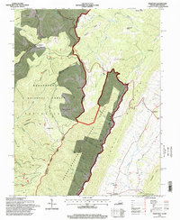
1969 Hightown
Highland County, VA
1969 Mc Dowell
Highland County, VA

1969 Monterey SE
Highland County, VA
1969 Mustoe
Highland County, VA
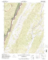
1995 Hightown
Highland County, VA
1995 Mustoe
Highland County, VA
1999 Mc Dowell
Highland County, VA
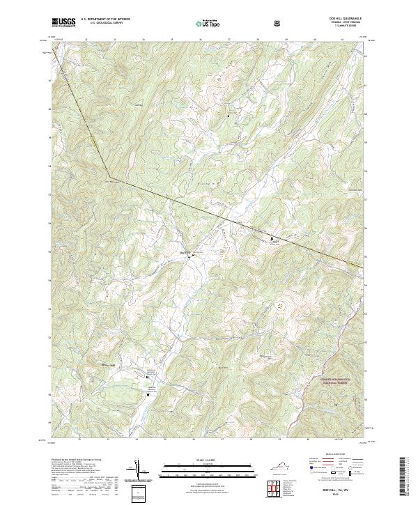
2022 Doe Hill
Highland County, VA
2022 Hightown
Highland County, VA
2022 Monterey SE
Highland County, VA

2022 Mustoe
Highland County, VA