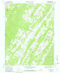
1968 Map of Doe Hill
USGS Topo · Published 1979About this map
Doe Hill and Sirons Mill anchor this high-elevation landscape where the West Virginia Virginia border crosses through a series of parallel ridges. The terrain is defined by dramatic northeast-southwest folds, including Jack Mountain, Thorn Mountain, and Bullpasture Mountain. These heights divide the headwaters of several major regional drainage systems; the South Br Potomac River flows northward, while the Bullpasture River and Cowpasture River lead toward the James River basin.
Find a feature on this map
38 named features on this map. Tap any name to fly to it.
Don’t see what you’re looking for? This feature index may not catch every label — zoom into the map to look around manually.
Map Details
Editions of this 1968 Doe Hill Map
2 editions found
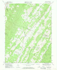
Other maps of this area

1889 · Beverly
USGS Topo · 1:125,000

1892 · Beverly
USGS Topo · 1:125,000

1892 · Franklin
USGS Topo · 1:125,000

1894 · Staunton
USGS Topo · 1:125,000

1896 · Franklin
USGS Topo · 1:125,000

1901 · Monterey
USGS Topo · 1:125,000

1922 · Spruce Knob
USGS Topo · 1:48,000

1922 · Circleville
USGS Topo · 1:62,500

1924 · Circleville
USGS Topo · 1:48,000

1924 · Mc Dowell
USGS Topo · 1:62,500