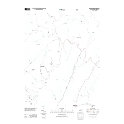
2013 Map of Hightown
USGS Topo · Published 2013About this map
The high watersheds of the Appalachian Mountains define this area on the Virginia-West Virginia border, where The Divide separates the headwaters of major river systems. The settlement of Hightown sits at a critical geographic junction, with the Jackson River flowing south while the Little River drains toward the north. The landscape is dominated by a series of prominent peaks and ridgelines, including Bear Mountain, Top of Allegheny, and the distinctive Watering Pond Knob.
Find a feature on this map
55 named features on this map. Tap any name to fly to it.
Don’t see what you’re looking for? This feature index may not catch every label — zoom into the map to look around manually.
Map Details
Editions of this 2013 Hightown Map
This is the sole edition of this map. No revisions or reprints were ever made.
Other maps of this area

1889 · Beverly
USGS Topo · 1:125,000

1892 · Beverly
USGS Topo · 1:125,000

1901 · Monterey
USGS Topo · 1:125,000

1922 · Spruce Knob
USGS Topo · 1:48,000

1922 · Cass
USGS Topo · 1:48,000

1922 · Durbin
USGS Topo · 1:48,000

1924 · Cass
USGS Topo · 1:62,500

1924 · Durbin
USGS Topo · 1:62,500

1924 · Spruce Knob
USGS Topo · 1:62,500

1941 · Monterey
USGS Topo · 1:62,500