Old Maps of Baileys Beach, Virginia for Academic Research
Study the evolution of Baileys Beach with 16 high-resolution historic maps. Whether you're teaching, researching, or modeling changes in land use, these maps provide essential visual documentation of urban, environmental, and geographic change.
- Analyze long-term change: Track patterns in development, transportation, and natural features.
- Ideal for environmental or urban studies: Support academic projects with primary historical map data.
- Use in the classroom or lab: Educators and researchers rely on these maps to bring historical context to life.
These maps are a powerful tool for teaching, research, and visualizing how Baileys Beach has changed over the decades.
Baileys Beach, VA maps
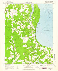
(16)- 1907 Map of Yorktown
 1907 Yorktown1907 Print · USGSThe Virginia Peninsula and the banks of the James River are shown here at the turn of the century, revealing a landscape defined by colonial roots and Civil War defenses. Genealogists can trace early twentieth-century life at Denbigh P O, Bacons Castle, and the National Cem.6 unique versions available
 - 1943 Map of Yorktown
 1943 Yorktown1943 Print · USGSThe Virginia Tidewater is captured here during the Second World War, showing the strategic riverfronts of the James and Warwick rivers. Researchers can locate colonial landmarks and defensive ruins like Old Fort Yorktown, Bacons Castle, and Warwick Courthouse.
 - 1943 Map of Richmond, 1972 Print
 1943 Richmond1972 Print · USGSCoastal Virginia and the state capital are shown in detail during the mid-century era of infrastructure expansion. Genealogists and historians can trace the grounds of Richmond Nat Battlefield Park, locate the Yorktown Nat Cem, or follow the many rural routes through Amelia Court House and Tappahannock.
 - 1948 Map of Bacons Castle, 1953 Print
 1948 Bacons Castle1953 Print · USGSCoastal Surry and Isle of Wight counties are captured in the late 1940s, showing a landscape of historic landings and rural parish life. Genealogists can locate family names at Lower Surry Cemetery or trace landmarks like Bacons Castle and the Lower Surry Ruins.
 - 1949 Map of Richmond, 1951 Print
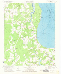
 1949 Richmond1951 Print · USGSCoastal Virginia in the years following World War II remained a landscape of historic river towns and expanding military bases. Genealogists and historians can trace the rail lines of the Southern Ry and locate established landmarks from Camp Lee to the remote reaches of Dragon Swamp.
 - 1957 Map of Bacons Castle, 1960 Print
 1957 Bacons Castle1960 Print · USGSThe rural Virginia Tidewater comes into focus in this mid-century survey of the Surry and Isle of Wight border. Genealogists can trace family connections at Bacons Castle and search for records at sites like Mount Nebo Ch or Lower Surry Cem.
 - 1959 Map of Richmond
 1959 Richmond1959 Print · USGSMid-century Virginia is captured here at its most vital rail and river junctions, from the capital city to the Chesapeake Bay. Genealogists and historians can trace the development of colonial settlements like Williamsburg and military landmarks including Fort Monroe and Camp Lee.
 - 1964 Map of Richmond
 1964 Richmond1964 Print · USGSCoastal and central Virginia are mapped during the mid-twentieth century, showing the critical intersection of rail, river, and military life. Genealogists can trace family roots through rural county seats like Amelia or find vanished coastal neighborhoods near Phoebus and Hilton Village.
 - 1969 Map of Bacons Castle, 1971 Print
 1969 Bacons Castle1971 Print · USGSThe Virginia Tidewater near the Surry and Isle of Wight border remains a landscape of coastal creeks and rural hamlets in the late sixties. Genealogists can locate family landmarks like Bacons Castle, Wrenns Millpond, and several historic congregations such as Little Zion Ch.3 unique versions available
 - 1973 Map of Richmond, 1974 Print
 1973 Richmond1974 Print · USGSThe Virginia Tidewater and Piedmont come alive in the early seventies, showcasing a region defined by its great rivers and massive military installations. Researchers can trace the mid-century growth of Richmond or locate family sites near Amelia Court House and Highland Springs.2 unique versions available
 - 1984 Map of Williamsburg, 1985 Print
 1984 Williamsburg1985 Print · USGSThe Virginia Peninsula and Chesapeake Bay shores are shown in the mid-1980s, revealing a landscape defined by colonial heritage and massive military installations. Researchers can trace the grounds of the College of William and Mary, the Yorktown National Cemetery, and the historic Jamestown Island.3 unique versions available
 - 2010 Map of Bacons Castle, 2010 Print
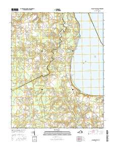
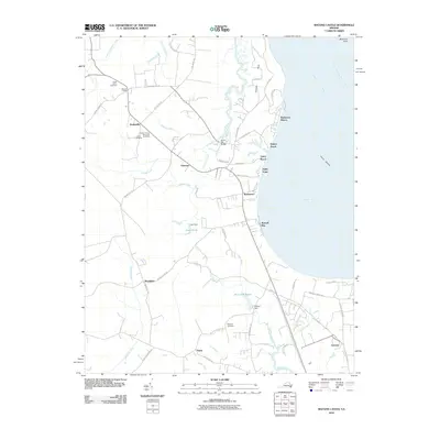 2010 Bacons Castle2010 Print · USGSCovers Baileys Beach, including Rushmere, Rushmere Shores, and other nearby areas
 - 2013 Map of Bacons Castle, 2013 Print
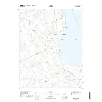
 2013 Bacons Castle2013 Print · USGSCovers Baileys Beach, including Rushmere, Rushmere Shores, and other nearby areas
 - 2016 Map of Bacons Castle, 2016 Print
 2016 Bacons Castle2016 Print · USGSCovers Baileys Beach, including Rushmere, Rushmere Shores, and other nearby areas
 - 2019 Map of Bacons Castle, 2019 Print
 2019 Bacons Castle2019 Print · USGSCovers Baileys Beach, including Rushmere, Rushmere Shores, and other nearby areas
 - 2022 Map of Bacons Castle, 2022 Print
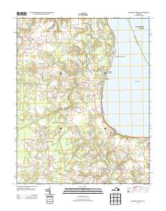
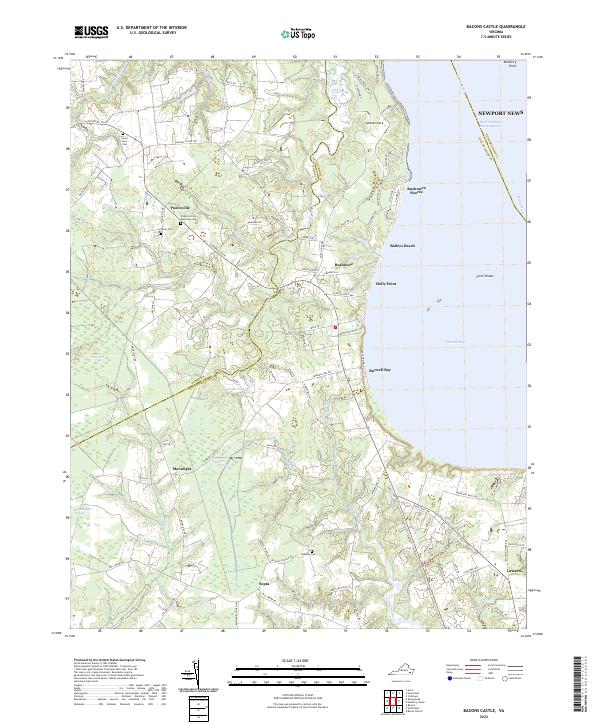 2022 Bacons Castle2022 Print · USGSThe James River shoreline of Isle of Wight and Surry Counties is shown here in the early twenty-first century. Researchers can locate several burial grounds like Jones Cem and trace the drainage patterns of Tuckers Pocosin and the Pagan River near Septa.
End of results
Showing maps 1-16 of 16
Top cities near Baileys Beach
- Williamsburg historical maps
- Gloucester Point historical maps
- Smithfield historical maps
- Carrollton historical maps
- Benns Church historical maps
- Rushmere historical maps
See more
Frequently asked questions
- What are the different types of historical maps available for Baileys Beach?
- What is the oldest map of Baileys Beach?
- Where can I purchase historical maps of Baileys Beach for my home or office?
- Where can I download high-res historical maps of Baileys Beach?
- Are there historical topographic maps available for Baileys Beach?
- Is there historical aerial imagery available for Baileys Beach?
- Where are historical maps of Baileys Beach sourced from?