2000s (21st Century) Maps of Lee County, Virginia
Explore 105 historic maps of Lee County from the 2000s (21st Century). These maps offer a rare glimpse into what life looked like during the 2000s — showing old roads, neighborhoods, homes, and landmarks that have changed or disappeared over time.
Whether you're researching your family's past, planning a metal detecting trip, or studying how Lee County's landscape evolved across the 2000s, these high-resolution maps are a powerful tool for exploring the history of this region.
- Focus on a specific era: All maps on this page are from the 2000s, giving you a focused view of this time period.
- See what’s changed: Compare century-old streets, trails, and buildings to today's modern landscape using overlays and satellite layers.
- Research with precision: Use these maps for genealogy, historical research, land use analysis, or educational projects.
- View, download, or print: Maps are fully viewable online in high resolution, and can be downloaded or printed for your own records.
Start exploring Lee County's history through authentic maps from the 2000s. This is your window into the past.
Lee County, VA maps
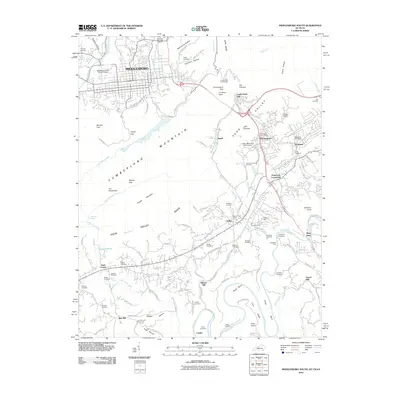
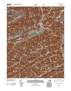
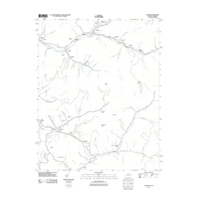
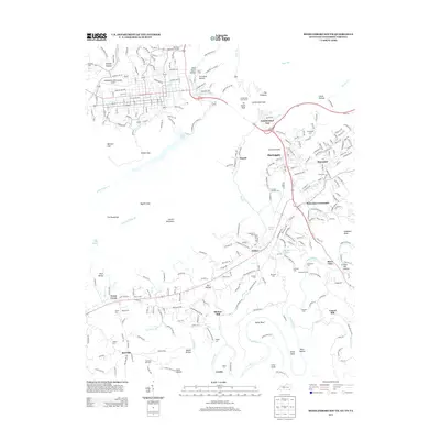
(105)- 2010 Map of Middlesboro North, 2010 Print
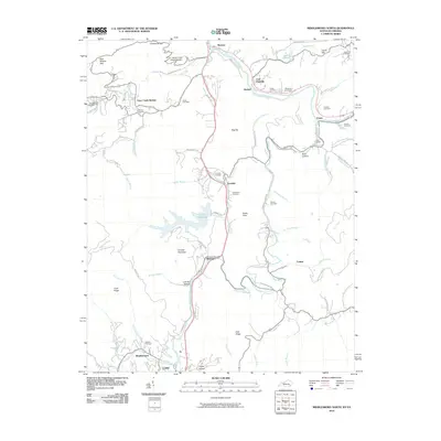 2010 Middlesboro North2010 Print · USGSCovers Lee County, including Pineville, Harbell, and other nearby areas
 - 2010 Map of Looneys Gap, 2010 Print
 2010 Looneys Gap2010 Print · USGSCovers Lee County, including Big Springs, Fisher Creek, and other nearby areas
 - 2010 Map of Coleman Gap, 2010 Print
 2010 Coleman Gap2010 Print · USGSCovers Lee County, including Alanthus Hill, Riley, and other nearby areas
 - 2010 Map of Stickleyville, 2010 Print
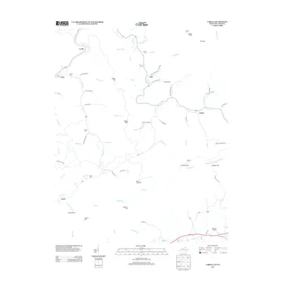
 2010 Stickleyville2010 Print · USGSCovers Lee County, including Stickleyville, Fairview, and other nearby areas
 - 2010 Map of Ben Hur, 2010 Print
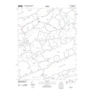 2010 Ben Hur2010 Print · USGSCovers Lee County, including Pennington Gap, Jonesville, and other nearby areas
 - 2010 Map of Middlesboro South, 2010 Print
 2010 Middlesboro South2010 Print · USGSCovers Lee County, including Middlesboro, Harrogate, and other nearby areas
 - 2010 Map of Sneedville, 2010 Print
 2010 Sneedville2010 Print · USGSCovers Lee County, including Sneedville, Dry Branch, and other nearby areas
 - 2010 Map of Kyles Ford, 2010 Print
 2010 Kyles Ford2010 Print · USGSCovers Lee County, including Chestnut Grove, Livesay Mill, and other nearby areas
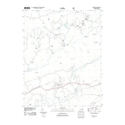
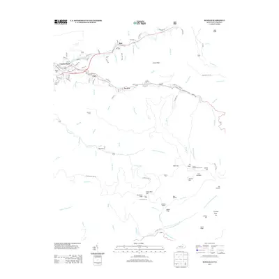
 - 2010 Map of Wheeler, 2010 Print
 2010 Wheeler2010 Print · USGSCovers Lee County, including Harrogate, Gibson Mill, and other nearby areas
 - 2010 Map of Ewing, 2010 Print
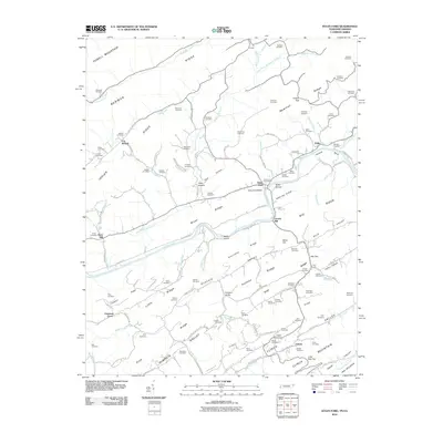
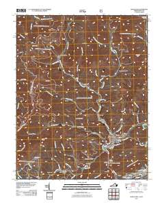
 2010 Ewing2010 Print · USGSCovers Lee County, including Ewing, Kesterson Mill, and other nearby areas
 - 2011 Map of Pennington Gap, 2011 Print
 2011 Pennington Gap2011 Print · USGSCovers Lee County, including Pennington Gap, Saint Charles, and other nearby areas
 - 2011 Map of Keokee, 2011 Print
 2011 Keokee2011 Print · USGSCovers Lee County, including Dryden, Keokee, and other nearby areas
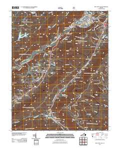
 - 2011 Map of Duffield, 2011 Print
 2011 Duffield2011 Print · USGSCovers Lee County, including Duffield, Clinchport, and other nearby areas
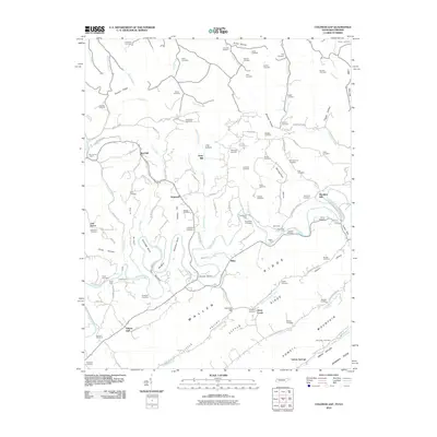
 - 2011 Map of Big Stone Gap, 2011 Print
 2011 Big Stone Gap2011 Print · USGSCovers Lee County, including Big Stone Gap, Tito, and other nearby areas
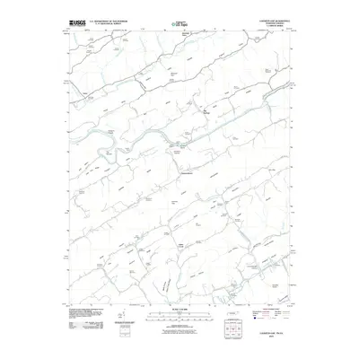
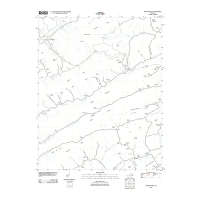
 - 2011 Map of Appalachia, 2011 Print
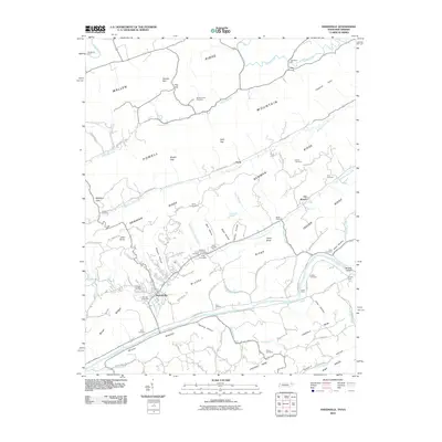
 2011 Appalachia2011 Print · USGSCovers Lee County, including Big Stone Gap, Appalachia, and other nearby areas
 - 2011 Map of Benham, 2011 Print
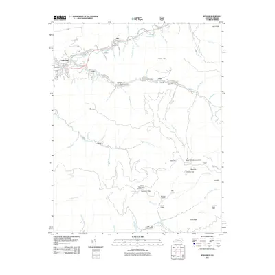 2011 Benham2011 Print · USGSCovers Lee County, including Cumberland, Lynch, and other nearby areas
 - 2011 Map of Back Valley, 2011 Print
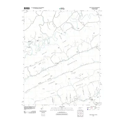 2011 Back Valley2011 Print · USGSCovers Lee County, including Sunnyside, Evanston, and other nearby areas
 - 2011 Map of Rose Hill, 2011 Print
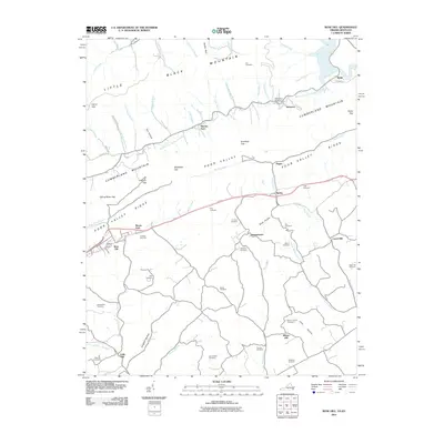 2011 Rose Hill2011 Print · USGSCovers Lee County, including Rose Hill, Smith, and other nearby areas
 - 2011 Map of Hubbard Springs, 2011 Print
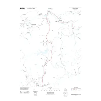
 2011 Hubbard Springs2011 Print · USGSCovers Lee County, including Jonesville, Fleenortown, and other nearby areas
 - 2011 Map of Varilla, 2011 Print
 2011 Varilla2011 Print · USGSCovers Lee County, including Hutch, Varilla, and other nearby areas
 - 2011 Map of Evarts, 2011 Print
 2011 Evarts2011 Print · USGSCovers Lee County, including Evarts, Crummies, and other nearby areas
 - 2013 Map of Varilla, 2013 Print
 2013 Varilla2013 Print · USGSCovers Lee County, including Hutch, Varilla, and other nearby areas
 - 2013 Map of Middlesboro North, 2013 Print
 2013 Middlesboro North2013 Print · USGSCovers Lee County, including Pineville, Harbell, and other nearby areas
 - 2013 Map of Benham, 2013 Print
 2013 Benham2013 Print · USGSCovers Lee County, including Cumberland, Lynch, and other nearby areas
 - 2013 Map of Middlesboro South, 2013 Print
 2013 Middlesboro South2013 Print · USGSCovers Lee County, including Middlesboro, Harrogate, and other nearby areas
Showing maps 1-25 of 105
Top cities of Lee County
- Pennington Gap historical maps
- Dryden historical maps
- Jonesville historical maps
- Rose Hill historical maps
- Ewing historical maps
- Keokee historical maps
See more
Frequently asked questions
- What are the different types of historical maps available for Lee County?
- What is the oldest map of Lee County?
- Where can I purchase historical maps of Lee County for my home or office?
- Where can I download high-res historical maps of Lee County?
- Are there historical topographic maps available for Lee County?
- Is there historical aerial imagery available for Lee County?
- Where are historical maps of Lee County sourced from?