2010s Maps of Lee County, Virginia
Explore 84 historic maps of Lee County from the 2010s. These maps offer a rare glimpse into what life looked like during the 2010s — showing old roads, neighborhoods, homes, and landmarks that have changed or disappeared over time.
Whether you're researching your family's past, planning a metal detecting trip, or studying how Lee County's landscape evolved across the 2010s, these high-resolution maps are a powerful tool for exploring the history of this region.
- Focus on a specific era: All maps on this page are from the 2010s, giving you a focused view of this time period.
- See what’s changed: Compare century-old streets, trails, and buildings to today's modern landscape using overlays and satellite layers.
- Research with precision: Use these maps for genealogy, historical research, land use analysis, or educational projects.
- View, download, or print: Maps are fully viewable online in high resolution, and can be downloaded or printed for your own records.
Start exploring Lee County's history through authentic maps from the 2010s. This is your window into the past.
Lee County, VA maps
(84)- 2010 Map of Middlesboro North, 2010 Print
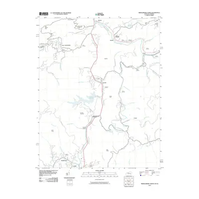 2010 Middlesboro North2010 Print · USGSBell County is shown here in the early twenty-first century, revealing a landscape where family history and river life intersect. Researchers can trace ancestral burial grounds at Wilder and Bingham Cemetery or locate old communities like Ponza and Colmar.
 - 2010 Map of Looneys Gap, 2010 Print
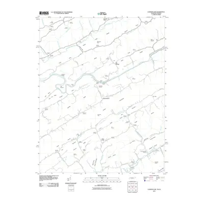 2010 Looneys Gap2010 Print · USGSThe Tennessee-Virginia borderlands are captured here at the turn of the 21st century, showing a landscape defined by the winding Clinch River and ridge-and-valley terrain. Genealogists can trace deep local roots at Moneyhun Cemetery, Jennings Store, and river crossings like Tigners Ford.
 - 2010 Map of Coleman Gap, 2010 Print
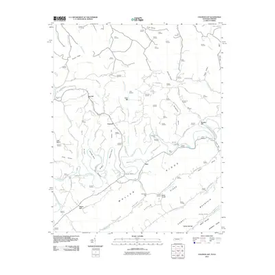 2010 Coleman Gap2010 Print · USGSThe Tennessee and Virginia borderlands come alive in this study of the Powell River valley during the early twenty-first century. Genealogists can trace family legacies across dozens of sites including Rosenbalm Cemetery, Yeary Mill, and the crossings at Brooks Ferry.
 - 2010 Map of Stickleyville, 2010 Print
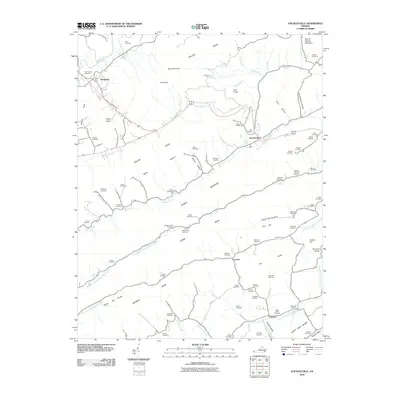 2010 Stickleyville2010 Print · USGSLee County in the early twenty-first century remains a landscape of high ridges and deep family roots. Researchers can trace dozens of ancestral sites like the Gilly-Wells Cemetery and Odd Fellows Cemetery near small centers such as Stickleyville and Woodway.
 - 2010 Map of Ben Hur, 2010 Print
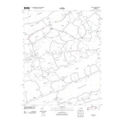 2010 Ben Hur2010 Print · USGSLee County's rural character is well-preserved in this 2010 survey of the Virginia highlands, where mountain ridges shelter long-standing family settlements and valley farms. Genealogists and local historians can trace dozens of burial sites like Roop Cemetery and Ely Cemetery, or locate historic landmarks such as Collier Mill and the Hunter Lookout Tower.
 - 2010 Map of Middlesboro South, 2010 Print
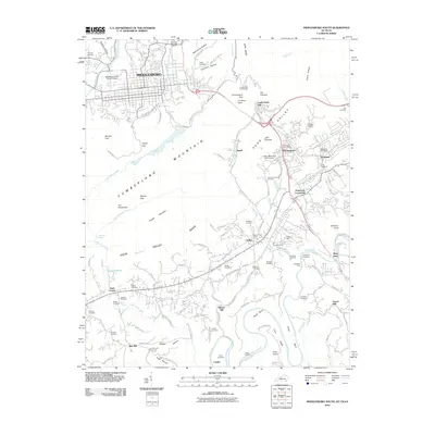 2010 Middlesboro South2010 Print · USGSThe tri-state border region comes into sharp focus in this 2010 study, centered on the historic passage at Cumberland Gap. Researchers can trace the legacy of local families through numerous sites like Vancel Mill, Goins Chapel, and Lincoln Memorial University.
 - 2010 Map of Sneedville, 2010 Print
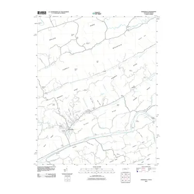 2010 Sneedville2010 Print · USGSHancock County is mapped here during a period of modern stability, showing the traditional mountain settlements and river crossings of East Tennessee. Genealogists can locate family landmarks like Thompson Mill, Snodgrass Ford, and the Vanderventer Cemetery.
 - 2010 Map of Kyles Ford, 2010 Print
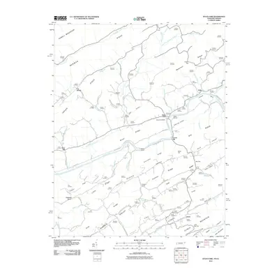 2010 Kyles Ford2010 Print · USGSThe Clinch River valley in the early twenty-first century remains a landscape of deep family roots and small river settlements. Genealogists can locate dozens of ancestral burial sites like Bledsoe Cemetery and Testerman Cemetery or trace the old roads connecting Kyles Ford and Eidson.
 - 2010 Map of Wheeler, 2010 Print
 2010 Wheeler2010 Print · USGSThe Tennessee-Virginia borderlands near Harrogate are shown here in the first decade of the new millennium. Researchers can trace family history through dozens of burial sites like Sproles Cemetery and historic river crossings including Bussell Ford and Yellow Shoals Ford.
 - 2010 Map of Ewing, 2010 Print
 2010 Ewing2010 Print · USGSLee County, Virginia, and nearby Kentucky are shown here in the early twenty-first century as the traditional valley settlements maintain their historical footprints. Researchers can find numerous family-named sites such as Kesterson Mill, Caylor, and the Rowland Cemetery nestled between the ridges of Brush Mountain.
 - 2011 Map of Pennington Gap, 2011 Print
 2011 Pennington Gap2011 Print · USGSPennington Gap and the North Fork Powell River valley appear in the early twenty-first century as a landscape shaped by coal and community. Researchers can trace family roots at Baker Cemetery or locate old rail points like Turners Siding and Bonny Blue.
 - 2011 Map of Keokee, 2011 Print
 2011 Keokee2011 Print · USGSLee County and the Virginia-Kentucky borderlands are captured here in the early twenty-first century as the traditional coal and river economy persists. Researchers can trace family sites like Eden Cemetery and Ely Cemetery or locate historic river crossings at Stallard Ford.
 - 2011 Map of Duffield, 2011 Print
 2011 Duffield2011 Print · USGSScott County, Virginia, is documented here in the early twenty-first century as a land of ridges, rivers, and deep-seated family history. Researchers can trace ancestral sites like the Hortons Summit Post Office, Powers Ford, and dozens of family-named cemeteries including McKinney Cemetery.
 - 2011 Map of Big Stone Gap, 2011 Print
 2011 Big Stone Gap2011 Print · USGSBig Stone Gap and the surrounding Wise County ridges are shown here in the early twenty-first century as a land of narrow hollows and numerous family cemeteries. Genealogists and local historians can trace legacy sites like Arbuckle Hill Cemetery, Seminary, and the Hugh Williams Memorial Bridge across the Powell River.
 - 2011 Map of Appalachia, 2011 Print
 2011 Appalachia2011 Print · USGSBig Stone Gap and the surrounding coalfield hollows are captured here in the early twenty-first century. Researchers can trace the industrial rail lines serving the Exeter Mine or locate family sites at Andover Cemetery and Kilbourn Cemetery.
 - 2011 Map of Benham, 2011 Print
 2011 Benham2011 Print · USGSHarlan County's coal heritage is on full display in this early 21st-century survey of the Black Mountain region. Researchers can trace historical mining operations at Portal 31 or locate ancestral sites like the Israel Blair Cemetery and Adams Cemetery.
 - 2011 Map of Back Valley, 2011 Print
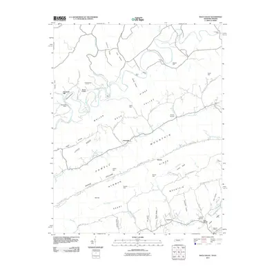 2011 Back Valley2011 Print · USGSHancock County and Lee County are captured in the early twenty-first century, showing the complex ridges and river bends of the Tennessee-Virginia border. Genealogists and hikers can trace family sites like Wolfenbarger Cemetery and land features like Bales Gap or Fletcher Cliff.
 - 2011 Map of Rose Hill, 2011 Print
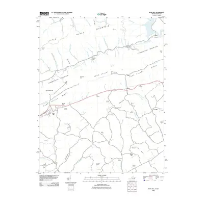 2011 Rose Hill2011 Print · USGSSpanning the Virginia and Kentucky borderlands, this survey documents the deeply carved ridges of Cumberland Mountain and the settled hollows of Lee County. Genealogists can locate family landmarks such as Crockett Cemetery, Boons Path, and the site of Edds Mill.
 - 2011 Map of Hubbard Springs, 2011 Print
 2011 Hubbard Springs2011 Print · USGSLee County, Virginia, is captured here in the early twenty-first century, showing a landscape of deep ridges and river bends. Family historians can locate dozens of burial sites like the Wynn Cemetery and landmarks such as Hubbard Springs and the Natural Bridge.
 - 2011 Map of Varilla, 2011 Print
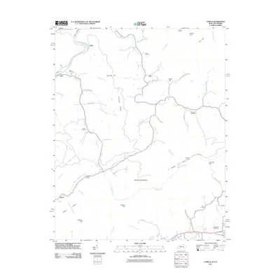 2011 Varilla2011 Print · USGSBell County, Kentucky, is shown here in the early twenty-first century as a landscape of steep ridges and tucked-away mountain settlements. Researchers can trace family sites at Buell Cemetery or follow historic routes along the Cumberland River and Hensley Settlement Rd.
 - 2011 Map of Evarts, 2011 Print
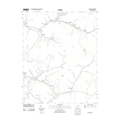 2011 Evarts2011 Print · USGSThe Clover Fork valley in the early twenty-first century shows a landscape of clustered mining and river towns. Genealogists can locate numerous burial sites such as Cawood Cemetery and Field Cemetery alongside settlements like Kildav and Ten Spot.
 - 2013 Map of Varilla, 2013 Print
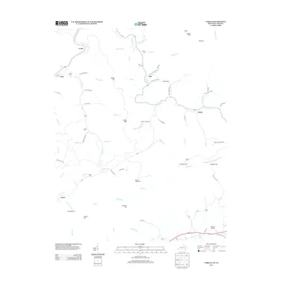 2013 Varilla2013 Print · USGSThe rugged borderlands of Kentucky and Virginia are documented here in the early twenty-first century, showing a landscape of deep hollows and high ridges. Genealogists can locate numerous family burial sites like Miracle Cem and Hensley Cem, or trace the winding paths to Hensley Flats and Wheeler Hollow.
 - 2013 Map of Middlesboro North, 2013 Print
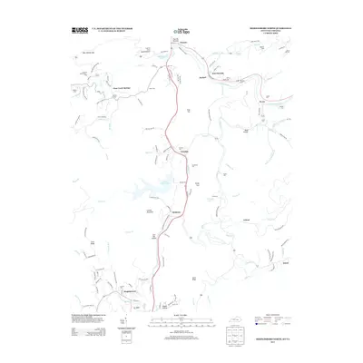 2013 Middlesboro North2013 Print · USGSThe Cumberland River valley south of Pineville appears in the early twenty-first century, showing a network of mountain communities and family cemeteries. Trace local history through sites like Wasioto, Clear Creek Springs, and Wilder Cem.
 - 2013 Map of Benham, 2013 Print
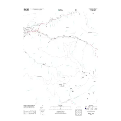 2013 Benham2013 Print · USGSHarlan County's mining heartland is centered around the headwaters of the Cumberland River during this recent era. Genealogists and historians can trace the foundations of company towns like Benham and Lynch, or locate family resting places including Israel Blair Cem and Adams Cem.
 - 2013 Map of Middlesboro South, 2013 Print
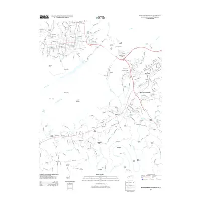 2013 Middlesboro South2013 Print · USGSThis part of the tri-state border country shows the vital passage through the Cumberland Gap and the settlements surrounding it in the early twenty-first century. Genealogists can trace family lines through numerous burial grounds like Old Red Hill Cem or locate historical industry at Minton Mill.
Showing maps 1-25 of 84
Top cities of Lee County
- Pennington Gap historical maps
- Dryden historical maps
- Jonesville historical maps
- Rose Hill historical maps
- Ewing historical maps
- Keokee historical maps
See more
Frequently asked questions
- What are the different types of historical maps available for Lee County?
- What is the oldest map of Lee County?
- Where can I purchase historical maps of Lee County for my home or office?
- Where can I download high-res historical maps of Lee County?
- Are there historical topographic maps available for Lee County?
- Is there historical aerial imagery available for Lee County?
- Where are historical maps of Lee County sourced from?