2000s (21st Century) Maps of Manassas, Virginia
Explore 20 historic maps of Manassas from the 2000s (21st Century). These maps offer a rare glimpse into what life looked like during the 2000s — showing old roads, neighborhoods, homes, and landmarks that have changed or disappeared over time.
Whether you're researching your family's past, planning a metal detecting trip, or studying how Manassas's landscape evolved across the 2000s, these high-resolution maps are a powerful tool for exploring the history of this region.
- Focus on a specific era: All maps on this page are from the 2000s, giving you a focused view of this time period.
- See what’s changed: Compare century-old streets, trails, and buildings to today's modern landscape using overlays and satellite layers.
- Research with precision: Use these maps for genealogy, historical research, land use analysis, or educational projects.
- View, download, or print: Maps are fully viewable online in high resolution, and can be downloaded or printed for your own records.
Start exploring Manassas's history through authentic maps from the 2000s. This is your window into the past.
Manassas, VA maps
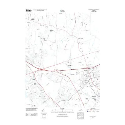
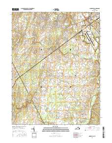
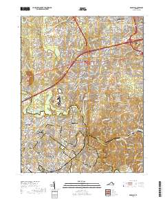
(20)- 2010 Map of Gainesville, 2010 Print
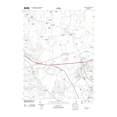 2010 Gainesville2010 Print · USGSCovers Manassas, including Linton Hall, Gainesville, and other nearby areas
 - 2010 Map of Nokesville, 2010 Print
 2010 Nokesville2010 Print · USGSCovers Manassas, including Nokesville, Bristow, and other nearby areas
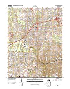
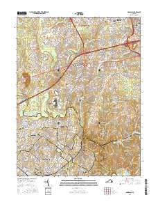
 - 2011 Map of Manassas, 2011 Print
 2011 Manassas2011 Print · USGSCovers Manassas, including Centreville, Sudley, and other nearby areas
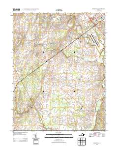
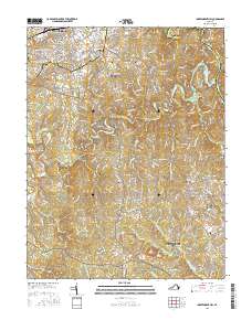
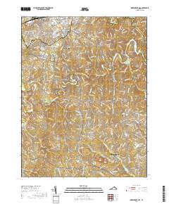
 - 2011 Map of Independent Hill, 2011 Print
 2011 Independent Hill2011 Print · USGSCovers Manassas, including Buckhall, Independent Hill, and other nearby areas
 - 2013 Map of Gainesville, 2013 Print
 2013 Gainesville2013 Print · USGSCovers Manassas, including Linton Hall, Gainesville, and other nearby areas
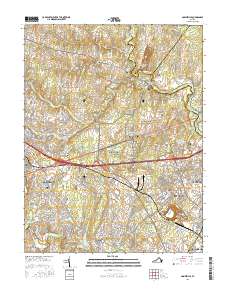
 - 2013 Map of Manassas, 2013 Print
 2013 Manassas2013 Print · USGSCovers Manassas, including Centreville, Sudley, and other nearby areas
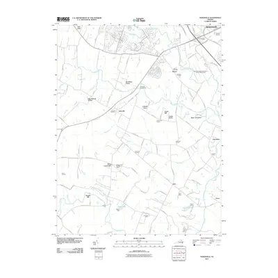
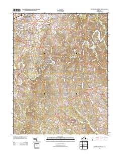
 - 2013 Map of Nokesville, 2013 Print
 2013 Nokesville2013 Print · USGSCovers Manassas, including Nokesville, Bristow, and other nearby areas
 - 2013 Map of Independent Hill, 2013 Print
 2013 Independent Hill2013 Print · USGSCovers Manassas, including Buckhall, Independent Hill, and other nearby areas
 - 2016 Map of Nokesville, 2016 Print
 2016 Nokesville2016 Print · USGSCovers Manassas, including Nokesville, Bristow, and other nearby areas
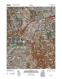
 - 2016 Map of Manassas, 2016 Print
 2016 Manassas2016 Print · USGSCovers Manassas, including Centreville, Sudley, and other nearby areas
 - 2016 Map of Independent Hill, 2016 Print
 2016 Independent Hill2016 Print · USGSCovers Manassas, including Buckhall, Independent Hill, and other nearby areas
 - 2016 Map of Gainesville, 2016 Print
 2016 Gainesville2016 Print · USGSCovers Manassas, including Linton Hall, Gainesville, and other nearby areas
 - 2019 Map of Manassas, 2019 Print
 2019 Manassas2019 Print · USGSCovers Manassas, including Centreville, Sudley, and other nearby areas
 - 2019 Map of Gainesville, 2019 Print
 2019 Gainesville2019 Print · USGSCovers Manassas, including Linton Hall, Gainesville, and other nearby areas
 - 2019 Map of Nokesville, 2019 Print
 2019 Nokesville2019 Print · USGSCovers Manassas, including Nokesville, Bristow, and other nearby areas
 - 2019 Map of Independent Hill, 2019 Print
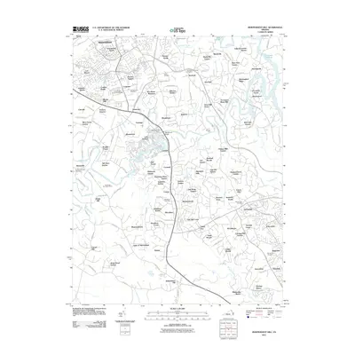
 2019 Independent Hill2019 Print · USGSCovers Manassas, including Buckhall, Independent Hill, and other nearby areas
 - 2022 Map of Independent Hill, 2022 Print
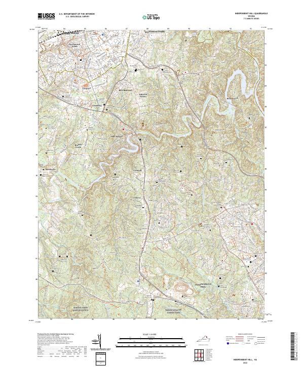 2022 Independent Hill2022 Print · USGSPrince William County in the early twenty-first century reveals a landscape where suburban growth meets deep-seated family history and military reservations. Genealogists can trace family landmarks like the Posey Family Burial Ground, Trone Weedon Cem, and Brentsville Public Cem.
 - 2022 Map of Nokesville, 2022 Print
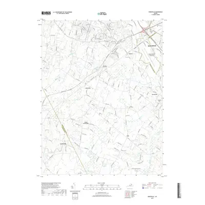
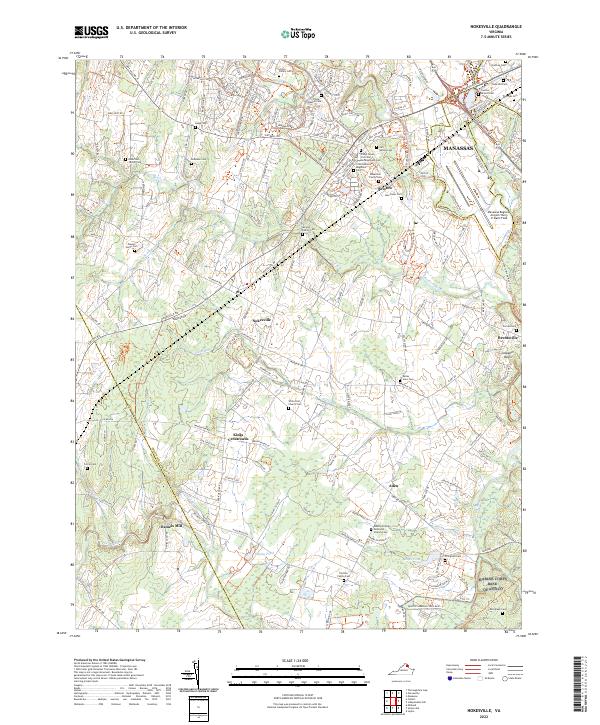 2022 Nokesville2022 Print · USGSPrince William County in the early 21st century remains a complex landscape of rural crossroads and growing aviation hubs. Researchers can trace dozens of family and military burial sites, including the 10th Alabama Regiment Cem and Linton Family Cem near Bristow.
 - 2022 Map of Gainesville, 2022 Print
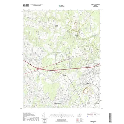
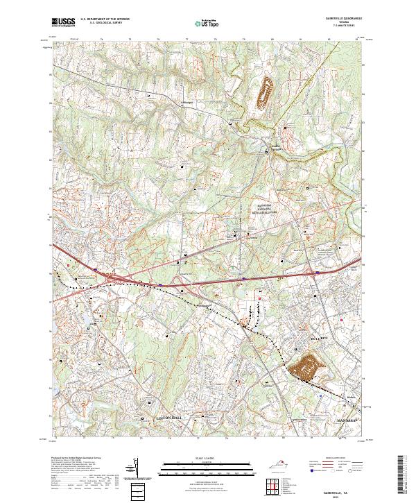 2022 Gainesville2022 Print · USGSGainesville and the surrounding Prince William County countryside are shown here in the early 2020s, balancing Civil War preservation with rapid modern development. Researchers can find dozens of family burial sites like the Haislip Family Cem alongside the preserved terrain of Manassas National Battlefield Park.
 - 2022 Map of Manassas, 2022 Print
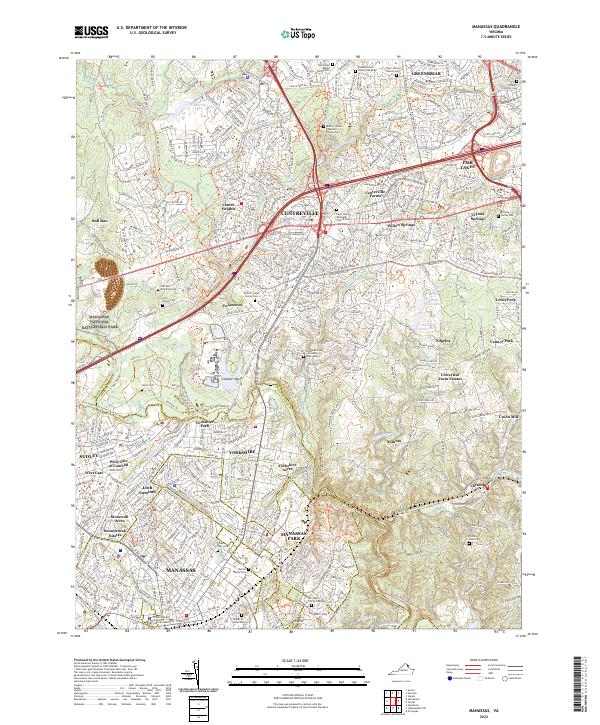 2022 Manassas2022 Print · USGSFairfax and Prince William counties showcase a landscape of rapid growth surrounding preserved historical grounds in the early twenty-first century. Genealogists can trace family footprints through the Arlington Family Cem and Clifton Town Cem near Manassas Park.
End of results
Showing maps 1-20 of 20
Top cities of Manassas
Frequently asked questions
- What are the different types of historical maps available for Manassas?
- What is the oldest map of Manassas?
- Where can I purchase historical maps of Manassas for my home or office?
- Where can I download high-res historical maps of Manassas?
- Are there historical topographic maps available for Manassas?
- Is there historical aerial imagery available for Manassas?
- Where are historical maps of Manassas sourced from?