2010s Maps of New Kent County, Virginia
Explore 44 historic maps of New Kent County from the 2010s. These maps offer a rare glimpse into what life looked like during the 2010s — showing old roads, neighborhoods, homes, and landmarks that have changed or disappeared over time.
Whether you're researching your family's past, planning a metal detecting trip, or studying how New Kent County's landscape evolved across the 2010s, these high-resolution maps are a powerful tool for exploring the history of this region.
- Focus on a specific era: All maps on this page are from the 2010s, giving you a focused view of this time period.
- See what’s changed: Compare century-old streets, trails, and buildings to today's modern landscape using overlays and satellite layers.
- Research with precision: Use these maps for genealogy, historical research, land use analysis, or educational projects.
- View, download, or print: Maps are fully viewable online in high resolution, and can be downloaded or printed for your own records.
Start exploring New Kent County's history through authentic maps from the 2010s. This is your window into the past.
New Kent County, VA maps
(44)- 2010 Map of Quinton, 2010 Print
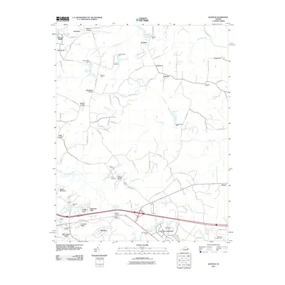 2010 Quinton2010 Print · USGSNew Kent and Hanover Counties are shown here during a period of suburban transition at the start of the 2010s. Researchers can locate historic rural junctions like Liggans Corner alongside family landmarks such as Wharton Field and Tabernacle Cemetery.
 - 2010 Map of King William, 2010 Print
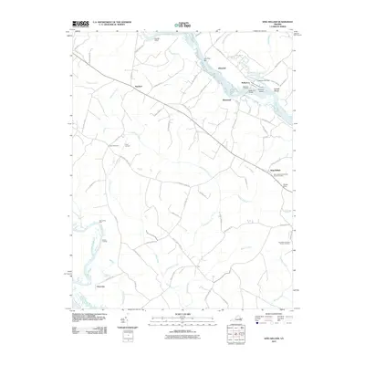 2010 King William2010 Print · USGSIn the early twenty-first century, this part of Tidewater Virginia remains a landscape defined by its river-based history and rural crossroads. Researchers can trace ancestral sites at Saint James Presbyterian Church Cemetery and explore old riverfronts at Walkerton Landing and Roanes Wharf.
 - 2010 Map of Tunstall, 2010 Print
 2010 Tunstall2010 Print · USGSNew Kent County’s rural landscape is captured here in the early 21st century, defined by the winding Pamunkey River and its vast wetlands. Researchers can trace historic properties and family sites like Liberty Hall, Putneys Mill, and Saint Peters Cemetery.
 - 2010 Map of Manquin, 2010 Print
 2010 Manquin2010 Print · USGSKing William County remains a landscape shaped by its river landings and rural crossroads at the start of the twenty-first century. Researchers can trace ancestral locations near Hanovertown, Appersons Store, and Sharon Baptist Church Cemetery.
 - 2010 Map of Roxbury, 2010 Print
 2010 Roxbury2010 Print · USGSEastern Virginia at the start of the 2010s shows a landscape deeply rooted in its colonial and civil war past even as modern subdivisions grow. Researchers can trace family sites at Glendale National Cemetery, identify old commerce at Ednas Mill, and locate the traditional crossing at Long Bridge.
 - 2010 Map of Providence Forge, 2010 Print
 2010 Providence Forge2010 Print · USGSThe rural stretches of Charles City County are captured here just after the turn of the millennium, centered on the historic Providence Forge area. Researchers can trace local lineage through sites like Adkins Store, Union Cemetery, and old river access points at Oldhouse Landing.
 - 2011 Map of Gressitt, 2011 Print
 2011 Gressitt2011 Print · USGSCoastal Virginia near the York River is mapped here in the early twenty-first century, showing a landscape defined by tidal creeks and historic landings. Genealogists and local historians can trace family-named sites like Allmonds Wharf, Christensons Corner, and Capahosic Landing.
 - 2011 Map of West Point, 2011 Print
 2011 West Point2011 Print · USGSThe rivers of King William County converge at West Point in the early twenty-first century, showing a landscape defined by tidal waters and bridges. Researchers can trace local heritage through sites like Sunny Slope Cemetery, Chelsea Farm, and the Bells Rock Lighthouse.
 - 2011 Map of Toano, 2011 Print
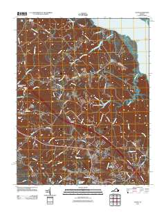 2011 Toano2011 Print · USGSThe James City County and New Kent County borderlands are shown here in the early 2000s as a landscape of tidal creeks and crossroads settlements. Researchers can trace the legacy of rural industry and transport at Warren Mill, Branch Siding, and the Toano Post Office.
 - 2011 Map of New Kent, 2011 Print
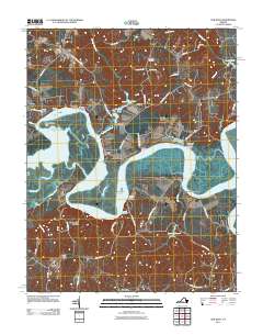 2011 New Kent2011 Print · USGSThe Pamunkey River meanders through New Kent and King William Counties in the early twenty-first century. Researchers can trace historic river access points like Cumberland Landing and White Oak Landing or locate family roots at Bethany Cemetery.
 - 2011 Map of Walkers, 2011 Print
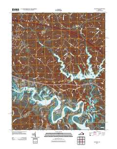 2011 Walkers2011 Print · USGSThe Virginia Peninsula east of Richmond shows a landscape of river landings and reservoir waters in the early twenty-first century. Researchers can trace the waterfront geography of Lanexa and Walkers or locate historical points like Osborn Landing and Diascund Bridge.
 - 2013 Map of Tunstall, 2013 Print
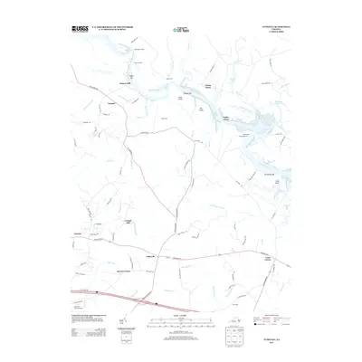 2013 Tunstall2013 Print · USGSCoastal Virginia in the early twenty-first century reveals a landscape shaped by river landings and historic estates along the Pamunkey River. Researchers can trace old family sites and crossroads from White House and Poplar Grove to the mills at Putneys Mill.
 - 2013 Map of Quinton, 2013 Print
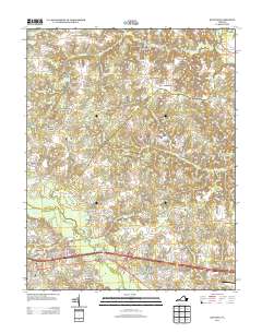 2013 Quinton2013 Print · USGSNew Kent County and the Chickahominy River basin appear in the early twenty-first century as a landscape of historic crossroads and modern growth. Researchers can trace the layout of family estates and newer developments like Orapax Farms, Woodview Hills, and the transition at Bottoms Bridge.
 - 2013 Map of Providence Forge, 2013 Print
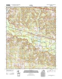 2013 Providence Forge2013 Print · USGSIn the early twenty-first century, the riverfront settlements and rural crossroads of New Kent and Charles City counties remain defined by the Chickahominy River. Researchers can trace old connections through Providence Forge, Oldhouse Landing, and the family-named corridors of Lott Cary Rd.
 - 2013 Map of King William, 2013 Print
 2013 King William2013 Print · USGSCoastal Virginia river life and rural settlements are detailed here in the early twenty-first century. Researchers can trace historic river access points at Piping Tree Ferry and Walkerton Landing or locate old community hubs like Rumford and Chericoke.
 - 2013 Map of Manquin, 2013 Print
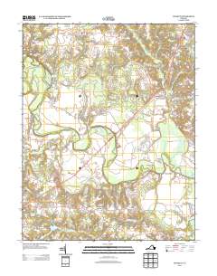 2013 Manquin2013 Print · USGSThe rural Virginia landscape near Central Garage was shaped by the winding Pamunkey River and its early mill sites in the years before the mid-2010s. Genealogists and historians can trace local commerce through centers like Appersons Store, Dabneys Millpond, and Farmers Shop Corner.
 - 2013 Map of Roxbury, 2013 Print
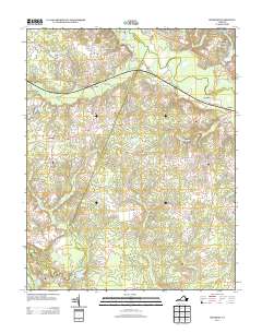 2013 Roxbury2013 Print · USGSCharles City County’s riverine landscape is captured in the early twenty-first century, showing the intricate drainage of the Chickahominy River and its many swamps. Genealogists and historians can trace the vicinity of Ednas Mill, Malvern Hill, and Shirley Millpond.
 - 2013 Map of Walkers, 2013 Print
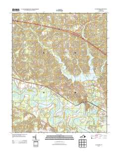 2013 Walkers2013 Print · USGSNew Kent County and the winding Chickahominy River are shown here in the early twenty-first century as modern roads meet historic river necks. Genealogists and local historians can trace the residential growth of Lanexa and Walkers or locate family landmarks like Matajunk Neck and Hicks Island.
 - 2013 Map of West Point, 2013 Print
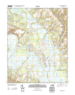 2013 West Point2013 Print · USGSNear the turn of the twenty-first century, the tidal headwaters of the York River remain a hub of Virginia peninsula life. Researchers can trace the waterfront street grids of West Point and Port Richmond or locate landmarks like Bells Rock Lighthouse and Shanghai.
 - 2013 Map of New Kent, 2013 Print
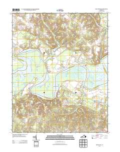 2013 New Kent2013 Print · USGSCoastal Virginia's riverine landscape is captured here in the early twenty-first century as the Pamunkey River meanders past historic crossroads. Genealogists and local historians can trace the environments of Lester Manor, Sweet Hall, and the marshy reaches of Chandlers Island.
 - 2013 Map of Toano, 2013 Print
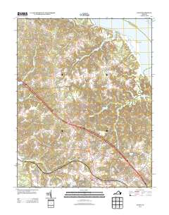 2013 Toano2013 Print · USGSThe Virginia Peninsula near the York River was characterized by dense swamp networks and crossroads settlements in the early 2000s. Genealogists and historians can trace local landmarks like Barhamsville, the State Prison Camp Number 16, and the Richardson Millpond.
 - 2013 Map of Gressitt, 2013 Print
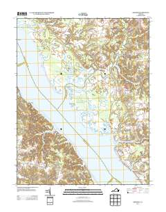 2013 Gressitt2013 Print · USGSCoastal Virginia's riverine heritage is on full display in this modern survey of the York River and its many marshy tributaries. Genealogists and local historians can trace the landings and crossroads of Gloucester County, including Allmonds Wharf, Christensons Corner, and the Bell Rock Lighthouse.
 - 2016 Map of New Kent, 2016 Print
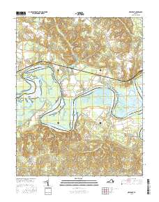 2016 New Kent2016 Print · USGSThe Pamunkey River corridor is captured here in the mid-2010s, showing the complex tidal marshes and small settlements of the Virginia Peninsula. Researchers can trace local landmarks like Bethany Cem, the historic Cohoke Millpond, and the winding Old Sweet Hall Ferry Rd.
 - 2016 Map of Walkers, 2016 Print
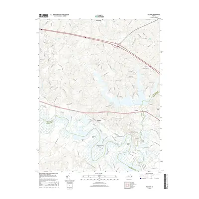 2016 Walkers2016 Print · USGSLanexa and the Chickahominy River waterfront are captured here in the mid-2010s at the junction of three Virginia counties. Genealogists and local historians can trace family-named river features like Wilcox Neck, Binns Bar, and the settlement of Walkers.
 - 2016 Map of Gressitt, 2016 Print
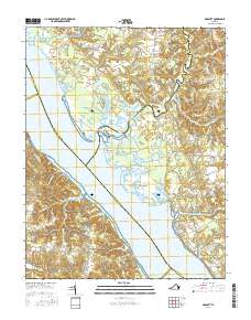 2016 Gressitt2016 Print · USGSThe York River and its marshy tributaries define this part of the Virginia Middle Peninsula during the mid-2010s. Researchers can trace rural community footprints from Plain View to Capahosic and explore the winding waterways of the Poropotank River and Purtan Island.
Showing maps 1-25 of 44
Frequently asked questions
- What are the different types of historical maps available for New Kent County?
- What is the oldest map of New Kent County?
- Where can I purchase historical maps of New Kent County for my home or office?
- Where can I download high-res historical maps of New Kent County?
- Are there historical topographic maps available for New Kent County?
- Is there historical aerial imagery available for New Kent County?
- Where are historical maps of New Kent County sourced from?