2000s (21st Century) Maps of Norfolk, Virginia
Explore 20 historic maps of Norfolk from the 2000s (21st Century). These maps offer a rare glimpse into what life looked like during the 2000s — showing old roads, neighborhoods, homes, and landmarks that have changed or disappeared over time.
Whether you're researching your family's past, planning a metal detecting trip, or studying how Norfolk's landscape evolved across the 2000s, these high-resolution maps are a powerful tool for exploring the history of this region.
- Focus on a specific era: All maps on this page are from the 2000s, giving you a focused view of this time period.
- See what’s changed: Compare century-old streets, trails, and buildings to today's modern landscape using overlays and satellite layers.
- Research with precision: Use these maps for genealogy, historical research, land use analysis, or educational projects.
- View, download, or print: Maps are fully viewable online in high resolution, and can be downloaded or printed for your own records.
Start exploring Norfolk's history through authentic maps from the 2000s. This is your window into the past.
Norfolk, VA maps
(20)- 2011 Map of Norfolk South, 2011 Print
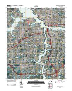 2011 Norfolk South2011 Print · USGSCoastal Virginia's maritime and industrial heart comes into focus in this recent survey of the Elizabeth River waterfront. Researchers can trace historic family burial sites at Lincoln Memorial Cemetery or locate old shipping hubs like the Portlock Yard and Chemphalt Wharf.
 - 2011 Map of Little Creek, 2011 Print
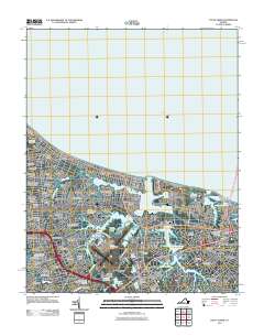 2011 Little Creek2011 Print · USGSCoastal Virginia at the start of the 2010s shows a landscape defined by dense neighborhood growth and strategic maritime infrastructure. Researchers can trace local developments like Hewitt Farm and Cottage Park or locate landmarks like Little Creek Dam.
 - 2011 Map of Norfolk North, 2011 Print
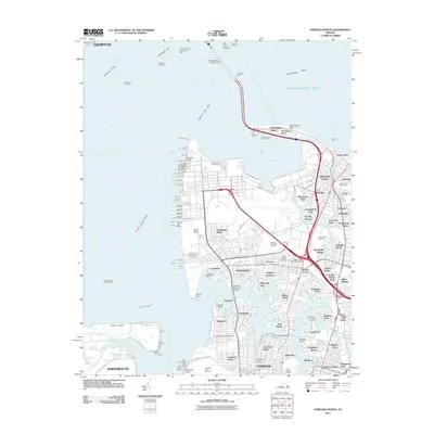 2011 Norfolk North2011 Print · USGSCoastal Virginia in the early 2000s showcases a dense network of naval piers and neighborhoods along the Elizabeth River. Genealogists and historians can trace suburban growth and maritime infrastructure through labels like Old Dominion University, Forest Lawn Cemetery, and Sewells Point.
 - 2011 Map of Kempsville, 2011 Print
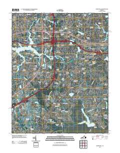 2011 Kempsville2011 Print · USGSThe Tidewater region at the turn of the decade shows the meeting of three major cities amidst tidal rivers and inlets. Researchers can trace local landmarks like Woodlawn Memorial Gardens, Regent University, and the Thomas Corner Station Norfolk Post Office.
 - 2013 Map of Kempsville, 2013 Print
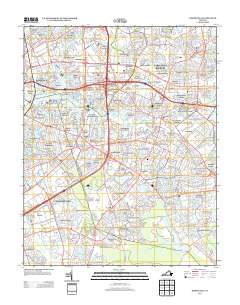 2013 Kempsville2013 Print · USGSThe Virginia Tidewater landscape is seen here in the early twenty-first century as a complex network of established residential communities and navigable waterways. Genealogists and local historians can trace suburban developments from Aragona Village to Pembroke Manor or find landmarks like the Girl Scout Camp and Lake Taylor.
 - 2013 Map of Norfolk North, 2013 Print
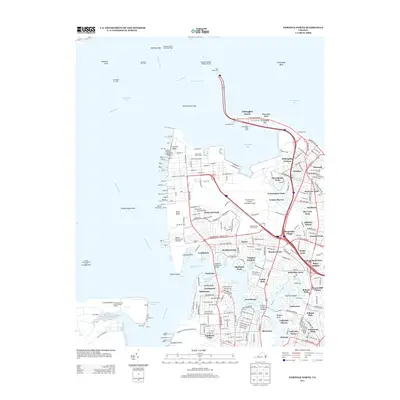 2013 Norfolk North2013 Print · USGSCoastal Virginia and its massive naval installations are captured here in the early twenty-first century. Researchers can trace the layout of Norfolk Naval Station, the terminals at Sewells Point, and neighborhoods like Lochhaven and Willoughby Beach.
 - 2013 Map of Little Creek, 2013 Print
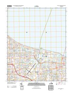 2013 Little Creek2013 Print · USGSThe coastal neighborhoods of Norfolk and Virginia Beach are captured here in the early twenty-first century as the region’s aviation and maritime hubs continued to mature. Researchers can trace the layout of residential tracts like Hewitt Farm and East Ocean View or locate landmarks like the Norfolk Botanical Garden.
 - 2013 Map of Norfolk South, 2013 Print
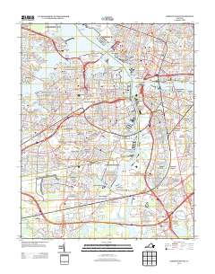 2013 Norfolk South2013 Print · USGSCoastal Virginia's maritime identity is on full display in the early 2010s, showing the intersection of heavy industry and residential growth. Genealogists and local historians can trace modern neighborhood boundaries from Cradock to Gilmerton and locate major landmarks like the Lamberts Point Terminal.
 - 2016 Map of Kempsville, 2016 Print
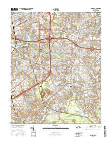 2016 Kempsville2016 Print · USGSCoastal Virginia's urban sprawl meets the independent city boundaries of Norfolk, Virginia Beach, and Chesapeake in the mid-2010s. Researchers can locate numerous family and memorial sites like Jones Cem and trace the evolution of early communities like Kempsville and Acredale.
 - 2016 Map of Little Creek, 2016 Print
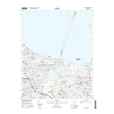 2016 Little Creek2016 Print · USGSThe Tidewater region in the mid-2010s shows a landscape defined by its strategic Atlantic waters and dense suburban growth. Researchers can trace the modern footprints of Ocean View, Norfolk International Airport, and the entrance to the Chesapeake Bay Bridge-Tunnel.
 - 2016 Map of Norfolk North, 2016 Print
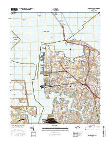 2016 Norfolk North2016 Print · USGSCoastal Virginia in the mid-2010s reveals a dense network of neighborhoods and naval history at the mouth of the James River. Researchers can locate specific street grids and landmarks from Old Dominion University to Willoughby Beach and Craney Island.
 - 2016 Map of Norfolk South, 2016 Print
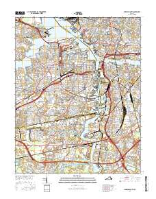 2016 Norfolk South2016 Print · USGSThe maritime heart of the Tidewater comes alive in this study of the waterfront at the height of its modern development. Genealogists and historians can trace the borders of established neighborhoods and numerous legacy sites like Norfolk State Univ, Calvary Cem, and Port Norfolk.
 - 2019 Map of Norfolk North, 2019 Print
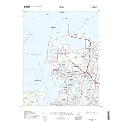 2019 Norfolk North2019 Print · USGSThe northern reaches of Norfolk and the southern edge of Hampton appear here at a peak of naval and urban density. Trace the footprints of NS Norfolk, residential rows in Ocean View, and landmarks like Old Dominion University.
 - 2019 Map of Norfolk South, 2019 Print
 2019 Norfolk South2019 Print · USGSCoastal Virginia's urban heart is captured here in the late 2010s, showcasing the maritime and residential density of the harbor. Researchers can trace family history through numerous sites like Saint Mary's Catholic Cem, Evergreen Memorial Park, and the neighborhood of Port Norfolk.
 - 2019 Map of Kempsville, 2019 Print
 2019 Kempsville2019 Print · USGSThe confluence of Norfolk, Virginia Beach, and Chesapeake is captured here in the late twenty-teens, showing a landscape of dense residential development and historic waterways. Researchers can trace neighborhood growth through areas like Aragona Village and Pembroke Manor or locate local landmarks like Bethel Cem.
 - 2019 Map of Little Creek, 2019 Print
 2019 Little Creek2019 Print · USGSHampton Roads communities at the edge of the Chesapeake Bay are detailed here during a period of significant coastal development. Researchers can trace the layout of early neighborhoods like Norview and Ocean View or locate the sprawling Norfolk International Airport.
 - 2022 Map of Norfolk South, 2022 Print
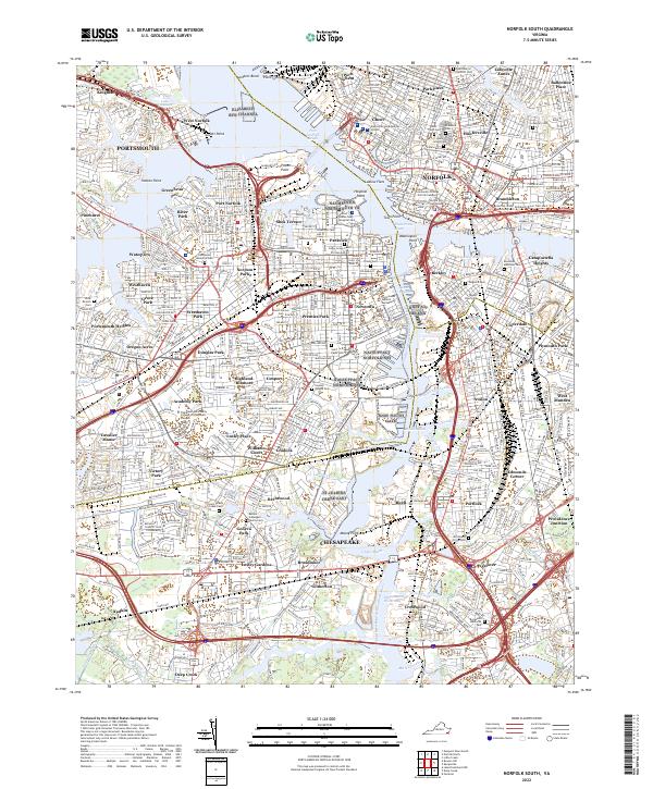 2022 Norfolk South2022 Print · USGSThe Elizabeth River and its southern branch dominate this contemporary portrait of Norfolk and Portsmouth. Genealogists can trace family connections through a dense network of historic burial grounds like Lincoln Memorial Cem and Mount Calvary Cem.
 - 2022 Map of Norfolk North, 2022 Print
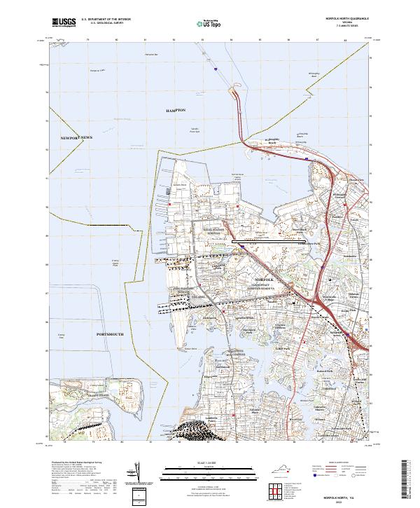 2022 Norfolk North2022 Print · USGSCoastal Virginia at the start of the 2020s shows a landscape defined by its deep-water harbor and massive naval infrastructure. Researchers can trace the layout of residential neighborhoods like Lochhaven and Ocean View alongside the grounds of Old Dominion University and Forest Lawn Cem.
 - 2022 Map of Little Creek, 2022 Print
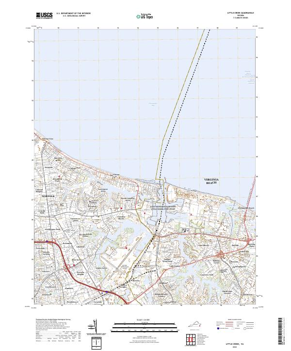 2022 Little Creek2022 Print · USGSCoastal Virginia in the early 2020s shows a sophisticated landscape of maritime industry and residential growth between the bay and the airport. Genealogists and local historians can trace neighborhood boundaries from Ocean View to East Norview, alongside landmarks like Lake Smith and Fishermans Cove.
 - 2023 Map of Kempsville, 2023 Print
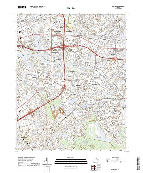 2023 Kempsville2023 Print · USGSThe interconnected suburbs of Norfolk and Virginia Beach are shown here at their modern height, where historic crossroads meet academic campuses. Genealogists and local historians can locate long-standing sites like Bethel Cem and Thomas Corner amidst the residential growth of Hollywood and Aragona Village.
End of results
Showing maps 1-20 of 20
Top cities of Norfolk
Frequently asked questions
- What are the different types of historical maps available for Norfolk?
- What is the oldest map of Norfolk?
- Where can I purchase historical maps of Norfolk for my home or office?
- Where can I download high-res historical maps of Norfolk?
- Are there historical topographic maps available for Norfolk?
- Is there historical aerial imagery available for Norfolk?
- Where are historical maps of Norfolk sourced from?