Old Maps of Norfolk, Virginia for Metal Detecting
Plan your next treasure hunt with 41 historic maps of Norfolk. Find old homesites, ghost towns, trails, and gathering spots that may be lost to time — perfect for identifying promising metal detecting locations.
- Locate forgotten sites: Uncover places like long-lost settlements, abandoned rail lines, or gathering spots.
- Plan better hunts: Use map overlays combined with LiDAR or satellite views to narrow in on historically rich areas.
- Made for detectorists: Thousands of hobbyists use these maps to discover relics, coins, and hidden history.
Use these historic maps to boost your research and find new opportunities beneath the surface of Norfolk.
Norfolk, VA maps
(41)- 1907 Map of Norfolk
 1907 Norfolk1907 Print · USGSCoastal Virginia is mapped here at the dawn of the twentieth century, during the bustle of the great Jamestown Exposition. Researchers can trace the early rail-and-canal economy through the Albemarle and Chesapeake Canal, the Navy Yard, and historic outposts like the Cape Henry Light.
 - 1918 Map of Cape Henry, 1961 Print
 1918 Cape Henry1961 Print · USGSThe Virginia coast at the close of the First World War shows a landscape of tidal inlets and rail-dependent settlements before modern expansion. Researchers can locate early landmarks like Old Donation Church, London Bridge, and the Dam Neck Mills.
 - 1919 Map of Cape Henry
 1919 Cape Henry1919 Print · USGSIn the years following the Great War, the Virginia coast was a mix of quiet truck farms and emerging resorts. Researchers can trace ancestral lands through dozens of named crossroads like Kempsville and Oceana, or find old houses of worship such as Old Donation Church.7 unique versions available
 - 1921 Map of Newport News
 1921 Newport News1921 Print · USGSThe Virginia tidewater area comes alive in the early twentieth century, showing a landscape defined by maritime industry and massive military installations. Genealogists and historians can trace rail lines and early settlements from Camp Stuart down to Jolliff School and the Dismal Swamp.4 unique versions available
 - 1944 Map of Norfolk South
 1944 Norfolk South1944 Print · USGSThe Hampton Roads waterfront at the height of World War II reveals a landscape defined by naval power and rail-to-sea industry. Genealogists and historians can trace neighborhood growth in Craddock, locate family sites near Hope Chapel, or map the early footprints of Portlock and Berkley.
 - 1948 Map of Norfolk South
 1948 Norfolk South1948 Print · USGSMid-century Hampton Roads is defined here by its massive naval installations and complex rail-to-river freight networks. Genealogists and historians can trace neighborhood growth in Alexander Park, locate family plots in Elmwood Cemetery, or follow the industrial lines of the Belt Line and Virginian railroads.2 unique versions available
 - 1948 Map of Ocean View
 1948 Ocean View1948 Print · USGSChesapeake Bay's shoreline in the late 1940s is a landscape defined by military bases and growing coastal neighborhoods. Researchers can trace local landmarks like Diamond Springs, Little Creek Mine Base, and the original footprint of Norfolk Airport.
 - 1948 Map of Norfolk North
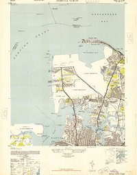 1948 Norfolk North1948 Print · USGSCoastal Virginia at the height of its mid-century military importance shows a dense network of naval bases and growing suburbs. Genealogists and historians can trace the development of Titustown, Ocean View, and Colonial Heights alongside landmarks like Forest Lawn Cemetery and the Marine Hospital.2 unique versions available
 - 1948 Map of Kempsville
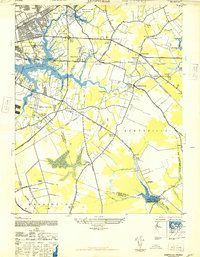 1948 Kempsville1948 Print · USGSPrincess Anne County in the late nineteen-forties exhibits a mix of rural homesteads and early suburban development linked by the Norfolk Southern line. Researchers can locate family landmarks like Tipperton Place, Bethel Ch and Cem, and the Princess Anne Co Training Sch.
 - 1953 Map of Norfolk, 1954 Print
 1953 Norfolk1954 Print · USGSCoastal Virginia and northeastern North Carolina appear here during the post-war industrial boom, showing the critical rail-and-sea connections of Hampton Roads. Genealogists can trace family roots through rural landmarks like Gethsemane Ch, the Caledonia State Prison Farm, and the vast interior of the Dismal Swamp.4 unique versions available
 - 1954 Map of Ocean View, 1958 Print
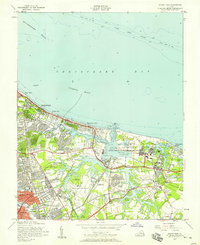 1954 Ocean View1958 Print · USGSCoastal Virginia in the mid-fifties shows a landscape of rapid growth where the City of Norfolk pushes into the countryside. Genealogists and historians can trace the development of neighborhoods like Camellia Shores and Brandon Place near the Norfolk Municipal Airport.
 - 1955 Map of Kempsville, 1958 Print
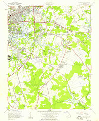 1955 Kempsville1958 Print · USGSCoastal Virginia during the mid-fifties shows the evolving landscape of Princess Anne County as urban expansion meets old rural communities. Genealogists and historians can trace family-named sites like Whitehurst Landing, Barrets Corner, and Old Donation Ch.
 - 1955 Map of Norfolk North, 1958 Print
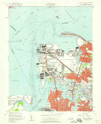 1955 Norfolk North1958 Print · USGSMid-century Norfolk and the Hampton Roads waterfront are captured here during a peak of military and rail activity. Genealogists and historians can trace neighborhood growth in Larchmont or locate vanished infrastructure like the Virginian Railway and Fort Wool.
 - 1955 Map of Norfolk South, 1958 Print
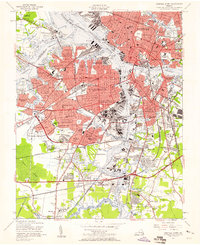 1955 Norfolk South1958 Print · USGSCoastal Virginia during the mid-fifties reveals a bustling maritime economy centered on the Elizabeth River and its industrial branches. Trace the evolution of neighborhoods and naval sites like the Norfolk Naval Shipyard or Virginia State College.
 - 1964 Map of Little Creek, 1968 Print
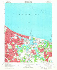 1964 Little Creek1968 Print · USGSVirginia's coastline during the mid-sixties reveals a period of intense military and suburban growth along the Chesapeake. Genealogists and historians can trace neighborhood development in Ocean View and locate military landmarks like the Little Creek Amphibious Base.5 unique versions available
 - 1965 Map of Norfolk North, 1968 Print
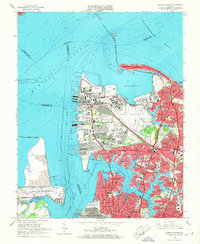 1965 Norfolk North1968 Print · USGSMid-century Norfolk is defined by its massive naval installations and the busy waterfront of the Elizabeth and Lafayette Rivers. Researchers can trace the layout of the Naval Base, find the Old Point Ferry landing, or locate family plots in Forest Lawn Cemetery.6 unique versions available
 - 1965 Map of Kempsville, 1968 Print
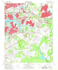 1965 Kempsville1968 Print · USGSCoastal Virginia during the mid-sixties transition shows the rapid growth of Virginia Beach and Norfolk over former farmland. Genealogists and historians can trace suburban development around Kempsville, locate ancestral sites like Jones Cem, or find rural landmarks such as Old St Matthews Ch.6 unique versions available
 - 1965 Map of Norfolk South, 1968 Print
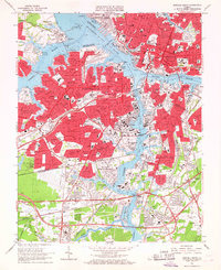 1965 Norfolk South1968 Print · USGSThe Tidewater region in the mid-sixties reveals a dense network of military installations and maritime industry along the Elizabeth River. Researchers can trace the layout of the U S Naval Shipyard, find the site of the former South Norfolk Airport, and locate established neighborhoods like Cavalier Manor.6 unique versions available
 - 1985 Map of Norfolk, 1986 Print
 1985 Norfolk1986 Print · USGSThe Tidewater region in the mid-eighties shows the dense urban expansion of the coastal cities alongside the preservation of the Great Dismal Swamp. Researchers can trace rural family-named crossroads and historic transit routes like the Seaboard Coast Line or find Somerton and Lake Drummond.3 unique versions available
 - 1994 Map of Norfolk South, 2000 Print
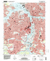 1994 Norfolk South2000 Print · USGSCoastal Virginia during the late twentieth century reveals a landscape shaped by massive naval facilities and dense residential corridors. Genealogists and historians can trace neighborhood development and cemeteries like Mt Calvary Cemetery alongside industrial hubs like the U S Naval Shipyard.
 - 1994 Map of Kempsville, 2000 Print
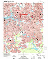 1994 Kempsville2000 Print · USGSCoastal Virginia's Tidewater region shows a complex weave of suburban expansion and historical roots in the mid-1990s. Genealogists and local historians can trace legacy sites from the Old Donation Ch Cem to the sprawling grounds of Woodlawn Mem Gardens.
 - 2011 Map of Norfolk South, 2011 Print
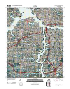 2011 Norfolk South2011 Print · USGSCoastal Virginia's maritime and industrial heart comes into focus in this recent survey of the Elizabeth River waterfront. Researchers can trace historic family burial sites at Lincoln Memorial Cemetery or locate old shipping hubs like the Portlock Yard and Chemphalt Wharf.
 - 2011 Map of Little Creek, 2011 Print
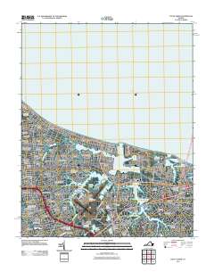 2011 Little Creek2011 Print · USGSCoastal Virginia at the start of the 2010s shows a landscape defined by dense neighborhood growth and strategic maritime infrastructure. Researchers can trace local developments like Hewitt Farm and Cottage Park or locate landmarks like Little Creek Dam.
 - 2011 Map of Norfolk North, 2011 Print
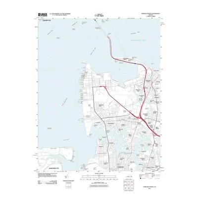 2011 Norfolk North2011 Print · USGSCoastal Virginia in the early 2000s showcases a dense network of naval piers and neighborhoods along the Elizabeth River. Genealogists and historians can trace suburban growth and maritime infrastructure through labels like Old Dominion University, Forest Lawn Cemetery, and Sewells Point.
 - 2011 Map of Kempsville, 2011 Print
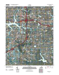 2011 Kempsville2011 Print · USGSThe Tidewater region at the turn of the decade shows the meeting of three major cities amidst tidal rivers and inlets. Researchers can trace local landmarks like Woodlawn Memorial Gardens, Regent University, and the Thomas Corner Station Norfolk Post Office.
Showing maps 1-25 of 41
Top cities of Norfolk
Frequently asked questions
- What are the different types of historical maps available for Norfolk?
- What is the oldest map of Norfolk?
- Where can I purchase historical maps of Norfolk for my home or office?
- Where can I download high-res historical maps of Norfolk?
- Are there historical topographic maps available for Norfolk?
- Is there historical aerial imagery available for Norfolk?
- Where are historical maps of Norfolk sourced from?