Old Maps of Stuart, Virginia for Genealogy
Trace your family roots with 26 historic maps of Stuart. These high-res maps reveal old neighborhoods, homesites, landmarks, and streets — helping you uncover where your ancestors lived and how the area evolved over time.
- Explore historic neighborhoods: Identify where your relatives may have lived in the 1800s or 1900s.
- Compare maps over time: Trace the changes in streets, buildings, and landmarks for multi-generational research.
- Perfect for genealogy & ancestry research: Used by family historians and researchers to map out lineage and migration.
These maps are an incredible resource for exploring your personal connection to Stuart's past.
Stuart, VA maps
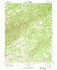
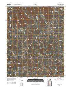
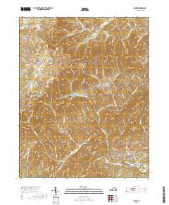
(26)- 1926 Map of Critz
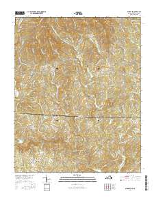
 1926 Critz1926 Print · USGSAcross the Virginia and North Carolina border in the mid-twenties, this mountain landscape reveals a self-sufficient network of mill seats and rural post offices. Researchers can trace family ties through dozens of landmarks like Blue Mountain School, Kogers Mill, and Patrick Springs Station.2 unique versions available
 - 1928 Map of Stuart
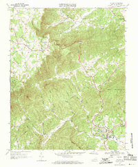
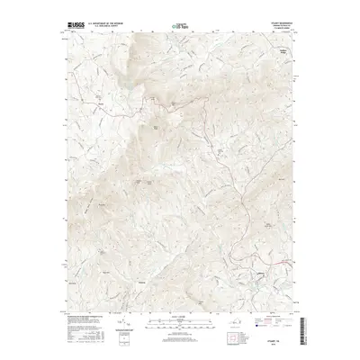
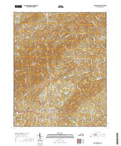
 1928 Stuart1928 Print · USGSThe Blue Ridge foothills of the late twenties are captured here as a network of mountain settlements and river-powered industry. Genealogists can trace family roots through numerous country landmarks like Greaseys Chapel, Stonewall Jackson School, and Carters Mill.2 unique versions available
 - 1928 Map of Critz
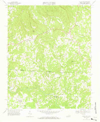
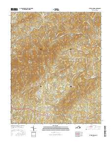
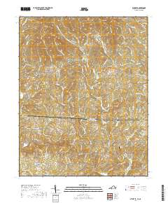
 1928 Critz1928 Print · USGSPatrick and Henry Counties appear here in the late twenties, showing a transition from the Blue Ridge heights to a valley economy defined by the Danville and Western rail line. Genealogists can trace early homesteads and community hubs like Penns Store, Patrick Springs Station, and Smith Chapel.3 unique versions available
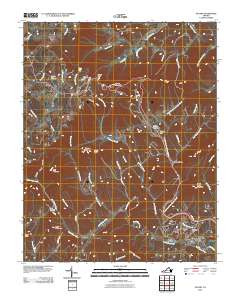
 - 1931 Map of Stuart
 1931 Stuart1931 Print · USGSThe Blue Ridge plateau meets the Piedmont in the late 1920s, showing a landscape of mountain farming and river-driven milling. Genealogists can trace family roots through numerous local landmarks like Meadows of Dan, Stonewall Jackson Sch, and Three Forks Mill.3 unique versions available
 - 1953 Map of Winston-Salem, 1974 Print
 1953 Winston-Salem1974 Print · USGSThe North Carolina Piedmont and Virginia highlands meet in the mid-1950s, a landscape defined by the tobacco and textile hubs of the Blue Ridge foothills. Researchers can trace the rail-and-river geography connecting Winston-Salem to mountain towns like Mount Airy and Galax.2 unique versions available
 - 1955 Map of Winston-Salem
 1955 Winston-Salem1955 Print · USGSThe Central Blue Ridge and Piedmont transition are captured here in the mid-fifties, from the industrial hub of Winston-Salem to the high peaks of Southwest Virginia. Genealogists can trace family landmarks like Richmond Hill Ch, Siloam Ch, and the old rail stops along the Southern Railway.
 - 1962 Map of Winston-Salem
 1962 Winston-Salem1962 Print · USGSThe North Carolina Piedmont meets the Virginia highlands in the early sixties, showing the rail corridors and mountain gaps of the southern Appalachians. Researchers can trace the Blue Ridge Parkway or locate family sites near Winston-Salem, Mount Airy, and Hanging Rock Mountain.
 - 1967 Map of Patrick Springs, 1968 Print
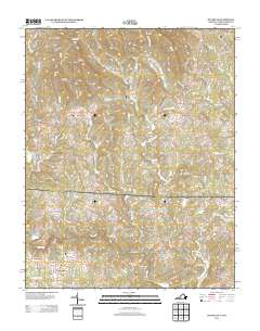
 1967 Patrick Springs1968 Print · USGSPatrick Springs and the surrounding Piedmont foothills are captured here in the late sixties as the rural landscape balanced traditional industry and modern growth. Genealogists and local historians can locate Buffalo Ridge Ch, Reynolds Mill, and the Hardin Reynolds Memorial Sch.2 unique versions available
 - 1967 Map of Stuart, 1971 Print
 1967 Stuart1971 Print · USGSThe foothills of Patrick County come alive in the late sixties, showcasing the area's transition from the high ridges of the Blue Ridge Parkway to the river valleys below. Genealogists and historians can locate family cemeteries and landmarks like Bouldin Memorial Ch, Lovers Leap, and Stuart High Sch.2 unique versions available
 - 1968 Map of Stuart SE, 1970 Print
 1968 Stuart SE1970 Print · USGSPatrick County and the North Carolina borderlands are captured in the late sixties, showing a landscape of river-bottom mills and highland chapels. Genealogists can trace family names through landmarks like Jessup Mill, Francisco, and Creaseys Chapel.3 unique versions available
 - 1986 Map of Galax
 1986 Galax1986 Print · USGSThe Virginia and North Carolina borderlands are captured here in the mid-1980s as the region balanced mountain agriculture with new recreational tourism. Researchers can locate remote family landmarks and rural institutions, from Ferrum Jr College and Siloam Ch to the Pinnacles Powerplant and Archies Mill.2 unique versions available
 - 2010 Map of Patrick Springs, 2010 Print
 2010 Patrick Springs2010 Print · USGSCovers Stuart, including Buffalo Ridge, Reynolds Mill, and other nearby areas
 - 2010 Map of Stuart SE, 2010 Print
 2010 Stuart SE2010 Print · USGSCovers Stuart, including Collinstown, Five Forks, and other nearby areas
 - 2010 Map of Stuart, 2010 Print
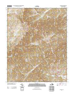
 2010 Stuart2010 Print · USGSCovers Stuart, including Cruzes Store, Dobyns, and other nearby areas
 - 2013 Map of Patrick Springs, 2013 Print
 2013 Patrick Springs2013 Print · USGSCovers Stuart, including Buffalo Ridge, Reynolds Mill, and other nearby areas
 - 2013 Map of Stuart SE, 2013 Print
 2013 Stuart SE2013 Print · USGSCovers Stuart, including Collinstown, Five Forks, and other nearby areas
 - 2013 Map of Stuart, 2013 Print
 2013 Stuart2013 Print · USGSCovers Stuart, including Cruzes Store, Dobyns, and other nearby areas
 - 2016 Map of Stuart, 2016 Print
 2016 Stuart2016 Print · USGSCovers Stuart, including Cruzes Store, Dobyns, and other nearby areas
 - 2016 Map of Stuart SE, 2016 Print
 2016 Stuart SE2016 Print · USGSCovers Stuart, including Collinstown, Five Forks, and other nearby areas
 - 2016 Map of Patrick Springs, 2016 Print
 2016 Patrick Springs2016 Print · USGSCovers Stuart, including Buffalo Ridge, Reynolds Mill, and other nearby areas
 - 2019 Map of Stuart, 2019 Print
 2019 Stuart2019 Print · USGSCovers Stuart, including Cruzes Store, Dobyns, and other nearby areas
 - 2019 Map of Patrick Springs, 2019 Print
 2019 Patrick Springs2019 Print · USGSCovers Stuart, including Buffalo Ridge, Reynolds Mill, and other nearby areas
 - 2019 Map of Stuart SE, 2019 Print
 2019 Stuart SE2019 Print · USGSCovers Stuart, including Collinstown, Five Forks, and other nearby areas
 - 2022 Map of Stuart, 2022 Print
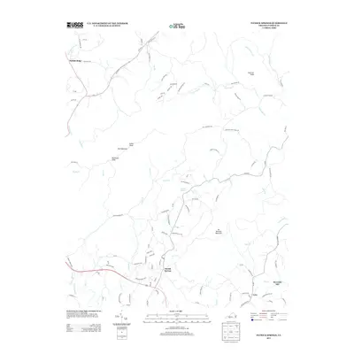
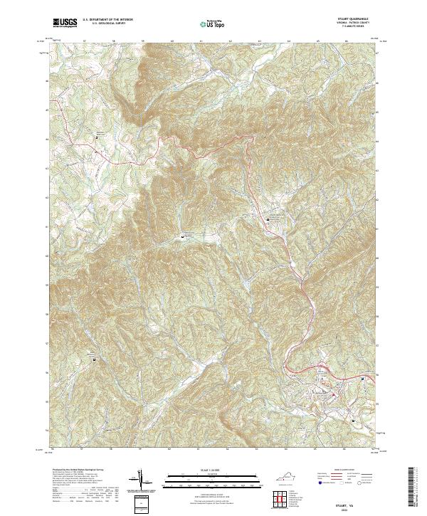 2022 Stuart2022 Print · USGSPatrick County, Virginia, is shown here in its modern context, centered on the courthouse and the rising slopes of Bull Mountain. Researchers can locate family landmarks like the John Preston Williams Family Cem or the Mayo Mountain Cem along the bends of the Dan River.
 - 2022 Map of Stuart SE, 2022 Print
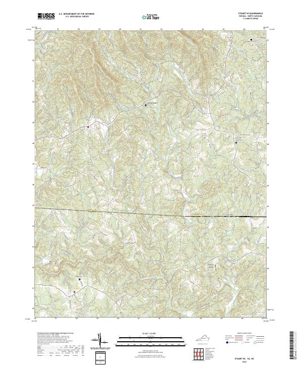 2022 Stuart SE2022 Print · USGSThe Virginia and North Carolina borderlands are captured in this modern survey, showing a landscape defined by the Dan River. Genealogists can locate Beasley Cem and country churches like Five Forks Wesleyan Church.
Showing maps 1-25 of 26
Frequently asked questions
- What are the different types of historical maps available for Stuart?
- What is the oldest map of Stuart?
- Where can I purchase historical maps of Stuart for my home or office?
- Where can I download high-res historical maps of Stuart?
- Are there historical topographic maps available for Stuart?
- Is there historical aerial imagery available for Stuart?
- Where are historical maps of Stuart sourced from?