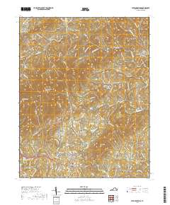
2019 Map of Patrick Springs
USGS Topo · Published 2019About this map
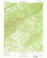
Patrick Springs and the surrounding highlands of Patrick County are defined by the winding waters of the South Mayo River and numerous mountain knobs. This 2019 survey captures a landscape where small communities like Critz and Buffalo Ridge are linked by a dense network of mountain roads such as Bull Mountain Rd and Pole Bridge Rd. The area maintains its rural character through established landmarks like Reynolds Mill and Landis Airport, while the terrain is punctuated by significant elevations including Bull Mtn and No Business Mtn.
Find a feature on this map
102 named features on this map. Tap any name to fly to it.
Don’t see what you’re looking for? This feature index may not catch every label — zoom into the map to look around manually.
Map Details
Editions of this 2019 Patrick Springs Map
This is the sole edition of this map. No revisions or reprints were ever made.
Other maps of this area
1926 · Critz
USGS Topo · 1:48,000
1928 · Stuart
USGS Topo · 1:48,000
1928 · Critz
USGS Topo · 1:62,500
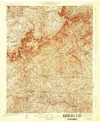
1931 · Stuart
USGS Topo · 1:62,500

1953 · Winston-Salem
USGS Topo · 1:250,000

1955 · Winston-Salem
USGS Topo · 1:250,000
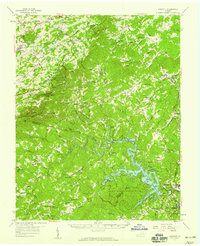
1957 · Endicott
USGS Topo · 1:62,500
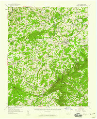
1957 · Floyd
USGS Topo · 1:62,500
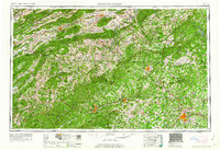
1962 · Winston-Salem
USGS Topo · 1:250,000
1967 · Patrick Springs
USGS Topo · 1:24,000