
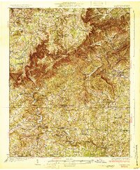
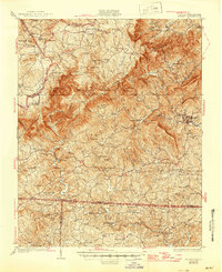
1931 Map of Stuart
USGS Topo · Published 1931About this map
Meadows of Dan sits atop the high plateau where the Blue Ridge begins its dramatic descent toward the Piedmont. Surveyed in 1928, this landscape is defined by the winding course of the Dan River, which carves through the earth at the Pinnacles of Dan and the Big Bend of Dan. The region's early agrarian and industrial foundations are visible in the numerous water-powered sites such as Three Forks Mill, Simmons Mill, and Georges Mill.
Find a feature on this map
103 named features on this map. Tap any name to fly to it.
Don’t see what you’re looking for? This feature index may not catch every label — zoom into the map to look around manually.
Map Details
Editions of this 1931 Stuart Map
3 editions found
Other maps of this area

1889 · Hillsville
USGS Topo · 1:125,000

1891 · Yadkinville
USGS Topo · 1:125,000

1892 · Hillsville
USGS Topo · 1:125,000

1893 · Yadkinville
USGS Topo · 1:125,000

1896 · Hillsville
USGS Topo · 1:125,000

1926 · Critz
USGS Topo · 1:48,000

1928 · Stuart
USGS Topo · 1:48,000

1928 · Critz
USGS Topo · 1:62,500

1953 · Winston-Salem
USGS Topo · 1:250,000

1955 · Winston-Salem
USGS Topo · 1:250,000