Loading...
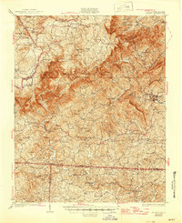
Loading map...1931 Map of Stuart
USGS Topo · Published 1945About this map
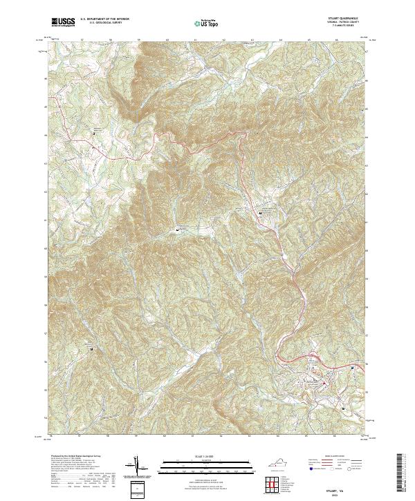
Meadows of Dan and the steep river gorges of the Pinnacles of Dan define this 1928 survey of the Virginia-North Carolina borderlands. The landscape is dotted with early 20th-century industry and community hubs, from Slates Mill and Gammons Mill to a dense network of local education centers like Central Academy and Edwardsville Sch. These labels reveal a rural economy still largely dependent on local milling and small, distributed settlements along the Dan River and Mayo River.
Find a feature on this map
125 named features on this map. Tap any name to fly to it.
Don’t see what you’re looking for? This feature index may not catch every label — zoom into the map to look around manually.
Map Details
Date Portrayed1931
Date Published1945
PublisherU.S. Geological Survey
Map TypeTopographic
Scale1:62,500
Physical Dimensions17.1 x 20.9 inches
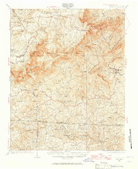
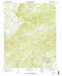
Editions of this 1931 Stuart Map
3 editions found

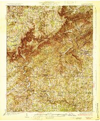
Historical Maps of Stuart Through Time
4 maps found
Featured Locations
Source Details
SourceU.S. Geological Survey
CopyrightPublic Domain