1960s Maps of Pittsylvania County, Virginia
Explore 31 historic maps of Pittsylvania County from the 1960s. These maps offer a rare glimpse into what life looked like during the 1960s — showing old roads, neighborhoods, homes, and landmarks that have changed or disappeared over time.
Whether you're researching your family's past, planning a metal detecting trip, or studying how Pittsylvania County's landscape evolved across the 1960s, these high-resolution maps are a powerful tool for exploring the history of this region.
- Focus on a specific era: All maps on this page are from the 1960s, giving you a focused view of this time period.
- See what’s changed: Compare century-old streets, trails, and buildings to today's modern landscape using overlays and satellite layers.
- Research with precision: Use these maps for genealogy, historical research, land use analysis, or educational projects.
- View, download, or print: Maps are fully viewable online in high resolution, and can be downloaded or printed for your own records.
Start exploring Pittsylvania County's history through authentic maps from the 1960s. This is your window into the past.
Pittsylvania County, VA maps
(31)- 1962 Map of Greensboro
 1962 Greensboro1962 Print · USGSThe Piedmont region along the Virginia and North Carolina border comes alive in the early 1960s, showing a landscape defined by industry and new reservoirs. Trace the path of the Virginian RR or explore the early development of Greensboro and Durham.
 - 1963 Map of Roanoke
 1963 Roanoke1963 Print · USGSCentral Virginia and the Blue Ridge front appear here in the early sixties, caught between their deep railroad roots and new postwar developments. Genealogists and historians can trace the rail lines of the Norfolk and Western through towns like Bedford and Altavista, or locate family landmarks near Smith Mountain Lake.
 - 1964 Map of Mount Hermon, 1966 Print
 1964 Mount Hermon1966 Print · USGSThe rural landscape north of Danville is documented here in the mid-1960s as it transitioned between agricultural tradition and suburban growth. Researchers can locate numerous country churches and schools, such as Laniers Mill, Hopewell Church, and Mount Hermon School.4 unique versions available
 - 1964 Map of Blairs, 1966 Print
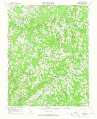 1964 Blairs1966 Print · USGSPittsylvania County during the mid-sixties shows a landscape of tobacco-country crossroads and river-valley farms. Genealogists and historians can trace family locations through numerous rural landmarks like Oak Grove Ch, Southside High Sch, and the Southern railroad line.4 unique versions available
 - 1964 Map of Spring Garden, 1966 Print
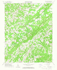 1964 Spring Garden1966 Print · USGSPittsylvania County tobacco country in the 1960s was a landscape of historic family mills and evolving industrial infrastructure. Researchers can trace rural lineages through sites like Motleys Mill, Fairview Chapel, and the Tobacco Research Station.4 unique versions available
 - 1964 Map of Pittsville, 1967 Print
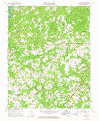 1964 Pittsville1967 Print · USGSMid-century Pittsylvania County is captured here during a time of rural stability and emerging recreation, centered around Leesville Lake. Genealogists can trace family names through numerous Cemeteries and local landmarks like Walkers Well, Climax Sch, and Piney Grove Ch.2 unique versions available
 - 1965 Map of Danville, 1966 Print
 1965 Danville1966 Print · USGSDanville and the surrounding borderlands of Virginia and North Carolina appear here during a period of mid-century suburban and educational expansion. Genealogists and local historians can trace family-named sites and vanished school districts, from Schoolfield to the grounds of Averett College and Green Hill Cemetery.4 unique versions available
 - 1965 Map of Sandy Level, 1966 Print
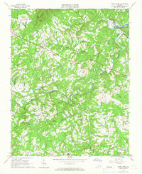 1965 Sandy Level1966 Print · USGSThe rural border of Franklin and Pittsylvania counties is captured in the mid-1960s during a period of significant hydraulic change. Genealogists and historians can trace family locations near Museville, Andersons Mill, and Carter Cem.3 unique versions available
 - 1965 Map of Brosville, 1966 Print
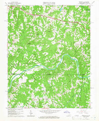 1965 Brosville1966 Print · USGSCrossing the Virginia and North Carolina border in the mid-sixties, this area shows a landscape defined by the loops of the Dan River. Genealogists can locate family landmarks like Judy Byrd Mountain and rural congregations at Piney Grove Ch or Vandola Ch.4 unique versions available
 - 1965 Map of Whitmell, 1966 Print
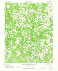 1965 Whitmell1966 Print · USGSPittsylvania County in the mid-1960s shows a landscape of tightly-knit rural communities and family-centered landmarks defined by the Sandy River. Researchers can trace the locations of many local congregations and schoolhouses like Tarpleys Chapel, St. Matthews Ch, and Tunstall High Sch.2 unique versions available
 - 1965 Map of Callands, 1966 Print
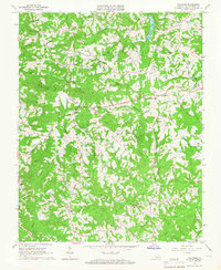 1965 Callands1966 Print · USGSPittsylvania County's rural heartland is meticulously mapped here in the mid-1960s, showing a landscape of scattered family farms and quiet crossroads. Researchers can trace local lineage through Hollys Mill, the Union Hall Sch, and old spiritual centers like Mt Zion Ch.3 unique versions available
 - 1965 Map of Penhook, 1966 Print
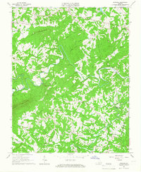 1965 Penhook1966 Print · USGSThe Franklin and Pittsylvania county line area is shown in the mid-sixties, just as the landscape began to change with the arrival of Smith Mountain Lake. Genealogists can trace family roots through localized sites like Laprades Mill, Adams Store, and Northfield Cem.2 unique versions available
 - 1965 Map of Axton, 1966 Print
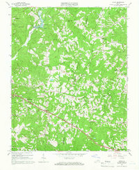 1965 Axton1966 Print · USGSHenry and Pittsylvania counties in the mid-sixties are characterized by rural church communities and a central rail line. Trace local family history through numerous landmarks like Burnt Chimneys, Greens Store, and the Southern railroad stops.2 unique versions available
 - 1965 Map of Gretna, 1966 Print
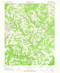 1965 Gretna1966 Print · USGSGretna and its surrounding Pittsylvania County crossroads are documented here in the mid-1960s, showing a landscape defined by the SOUTHERN rail line and quiet creek valleys. Local historians can trace established community sites like Chalk Level, Vadens Mill, and Coles Hill.3 unique versions available
 - 1965 Map of Draper, 1966 Print
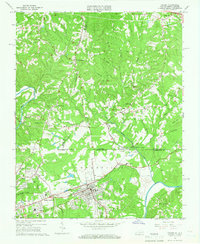 1965 Draper1966 Print · USGSNorth Carolina and Virginia meet along this industrial rail corridor during the mid-sixties, where the textile and transit hubs of the Piedmont were rapidly evolving. Researchers can trace family roots at Sunny Home Ch, locate the old Morgan Ford Bridge, or explore the rail sidings of Leaksville Junction.4 unique versions available
 - 1965 Map of Ringgold, 1967 Print
 1965 Ringgold1967 Print · USGSThe Virginia and North Carolina borderlands come to life in the mid-1960s, showing the growth of industrial Danville alongside rural river towns. Researchers can trace family history through numerous landmarks like White Rock Ch, the Rice Sch, and the community at Blanch.5 unique versions available
 - 1965 Map of Mountain Valley, 1967 Print
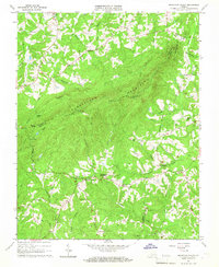 1965 Mountain Valley1967 Print · USGSThe rural borders of Henry and Franklin counties are captured here in the mid-1960s, showing a landscape of upland ridges and creek-side settlements. Researchers can locate historic hubs like Mountain Valley, Swansons Mill, and the Turkeycock Lookout Tower.3 unique versions available
 - 1965 Map of Chatham, 1968 Print
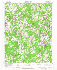 1965 Chatham1968 Print · USGSPittsylvania County in the mid-1960s was an area defined by its educational institutions and deep tobacco-farming roots. Researchers can trace the grounds of Hargrave Military Academy, the community at Tight Squeeze, and the Banister River watershed.3 unique versions available
 - 1966 Map of Greensboro
 1966 Greensboro1966 Print · USGSThe North Carolina and Virginia Piedmont thrives during the mid-sixties, showcasing a landscape of textile hubs and expanding river reservoirs. Researchers can trace the rail corridors of the Southern Railway, find local landmarks like Elon College, or locate the extensive Camp Butner Military Reservation.
 - 1966 Map of Leesville, 1967 Print
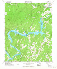 1966 Leesville1967 Print · USGSThe Roanoke River valley is seen here just after the creation of Leesville Lake in the mid-1960s. Researchers can locate family landmarks like Old Stone Road Ch, the community of Brights, and the historic Leesville townsite.3 unique versions available
 - 1966 Map of Castle Craig, 1967 Print
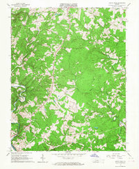 1966 Castle Craig1967 Print · USGSCampbell County land and the river forks are captured here in the mid-1960s as rural life centered on crossroads and creek valleys. Genealogists can trace family roots through numerous local landmarks like Liberty Ch, Salem Ch, and Altavista Memorial Park.3 unique versions available
 - 1966 Map of Java, 1967 Print
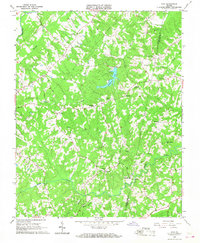 1966 Java1967 Print · USGSThe crossroads and creek-side settlements of Pittsylvania and Halifax counties are shown here in the mid-1960s. Genealogists and local historians can trace family locations near Chaneys Store, Henrys Mill, and the County Line Sch.3 unique versions available
 - 1966 Map of Straightstone, 1968 Print
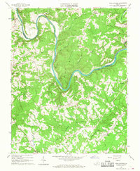 1966 Straightstone1968 Print · USGSThe Roanoke River winds through Southside Virginia in the mid-1960s, marking the border where Campbell and Pittsylvania counties meet. Genealogists can locate family-named landmarks and country churches like Perrows Chapel, Level Run, and the Jacob Stone Memorial Ch.2 unique versions available
 - 1966 Map of Lynch Station, 1968 Print
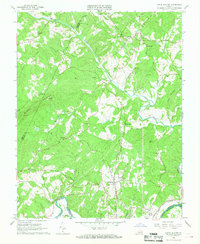 1966 Lynch Station1968 Print · USGSSouthern Campbell County is captured here in the mid-sixties, a landscape defined by the intersection of the Southern railroad and the Big Otter River. Genealogists and local historians can trace the foundations of rural life through numerous country churches like Mt Hermon Ch and the historic settlement at Lynch Station.4 unique versions available
 - 1966 Map of Altavista, 1968 Print
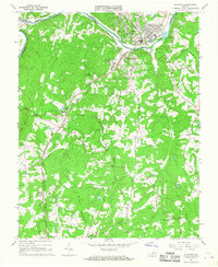 1966 Altavista1968 Print · USGSThe Roanoke River valley in the mid-1960s shows a region defined by its rail-and-river economy and growing industrial towns. Genealogists and historians can trace the rural landscape surrounding Altavista through landmarks like Moriah Ch, Hill Grove, and Jasper Mountain.3 unique versions available
Showing maps 1-25 of 31
Top cities of Pittsylvania County
- Mount Hermon historical maps
- Chatham historical maps
- Gretna historical maps
- Hurt historical maps
- Motley historical maps
Frequently asked questions
- What are the different types of historical maps available for Pittsylvania County?
- What is the oldest map of Pittsylvania County?
- Where can I purchase historical maps of Pittsylvania County for my home or office?
- Where can I download high-res historical maps of Pittsylvania County?
- Are there historical topographic maps available for Pittsylvania County?
- Is there historical aerial imagery available for Pittsylvania County?
- Where are historical maps of Pittsylvania County sourced from?