2020s Maps of Pittsylvania County, Virginia
Explore 28 historic maps of Pittsylvania County from the 2020s. These maps offer a rare glimpse into what life looked like during the 2020s — showing old roads, neighborhoods, homes, and landmarks that have changed or disappeared over time.
Whether you're researching your family's past, planning a metal detecting trip, or studying how Pittsylvania County's landscape evolved across the 2020s, these high-resolution maps are a powerful tool for exploring the history of this region.
- Focus on a specific era: All maps on this page are from the 2020s, giving you a focused view of this time period.
- See what’s changed: Compare century-old streets, trails, and buildings to today's modern landscape using overlays and satellite layers.
- Research with precision: Use these maps for genealogy, historical research, land use analysis, or educational projects.
- View, download, or print: Maps are fully viewable online in high resolution, and can be downloaded or printed for your own records.
Start exploring Pittsylvania County's history through authentic maps from the 2020s. This is your window into the past.
Pittsylvania County, VA maps
(28)- 2022 Map of Northeast Eden, 2022 Print
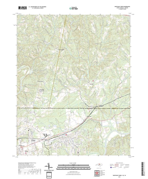 2022 Northeast Eden2022 Print · USGSRockingham County and the Virginia state line meet at the northern reaches of the Dan River valley in the early 2020s. Genealogists can locate family sites near Starling Cem and trace the rural layouts of Sandy Level, Fitzgerald, and Leaksville Junction.
 - 2022 Map of Pittsville, 2022 Print
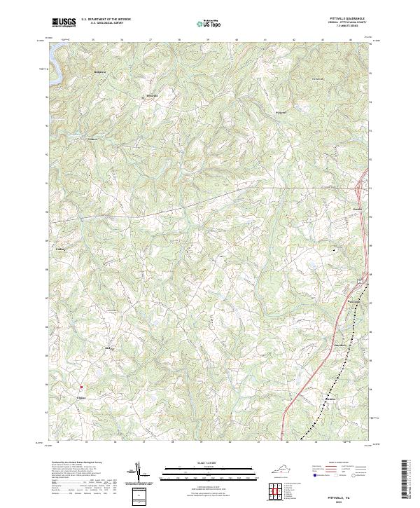 2022 Pittsville2022 Print · USGSPittsylvania County's rural communities and creek-carved valleys are documented in this recent survey. Genealogists and local historians can trace family roots near the Tosh Family Cem or along the banks of the Pigg River and Cherrystone Cr.
 - 2022 Map of Mount Airy, 2022 Print
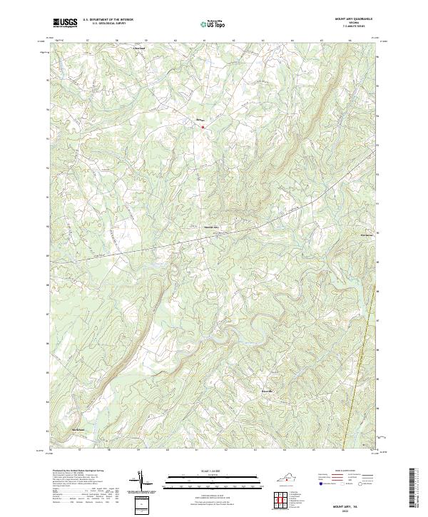 2022 Mount Airy2022 Print · USGSPittsylvania and Halifax counties are mapped in the early 2020s, showing a rural landscape shaped by the Banister River. Researchers can trace old family road names and small communities like Riceville, Renan, and Mount Airy.
 - 2022 Map of Spring Garden, 2022 Print
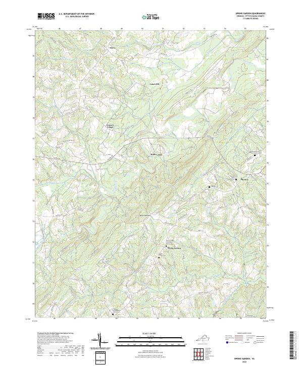 2022 Spring Garden2022 Print · USGSPittsylvania County's rural landscape is captured here in the early twenty-first century, showing a region defined by its river valleys and mountain ridges. Genealogists can trace family heritage through sites like Spring Garden Community Church Cem, Bryant Family Cem, and Motleys Mill.
 - 2022 Map of Sandy Level, 2022 Print
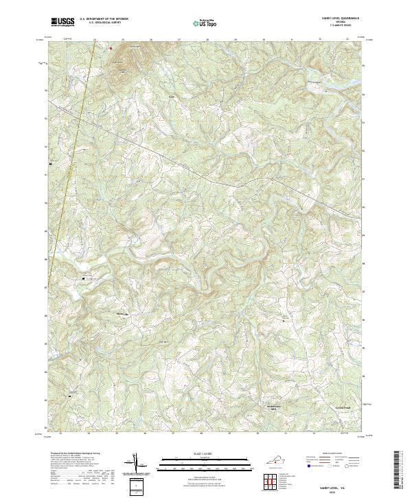 2022 Sandy Level2022 Print · USGSThe rural boundary of Franklin and Pittsylvania counties remains a land of winding river bends and family homesteads. Researchers can locate ancestral sites like the Five Forks Church Cem, the historic Andersons Mill, and the small settlement of Museville.
 - 2022 Map of Whitmell, 2022 Print
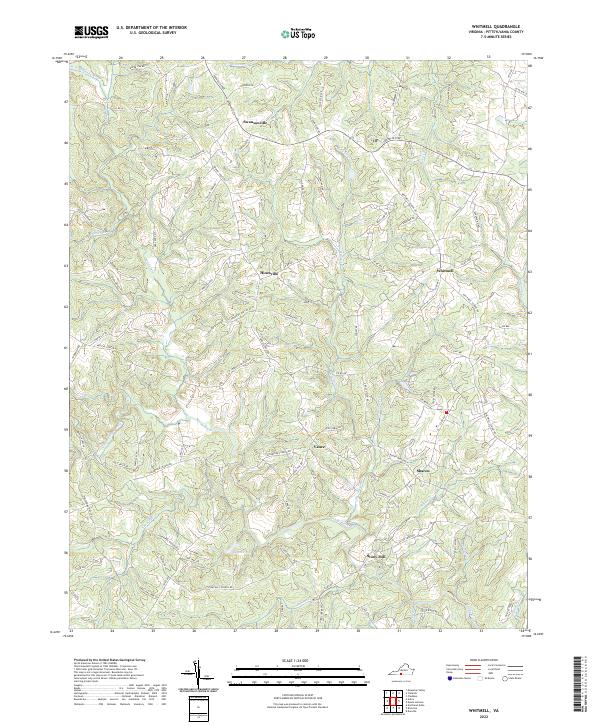 2022 Whitmell2022 Print · USGSPittsylvania County's rural heartland is captured here in the early twenty-first century, showing a landscape shaped by the Sandy River and its many branches. Genealogists and local historians can trace the roads connecting Swansonville, Whitmell, and Stony Mill.
 - 2022 Map of Milton, 2022 Print
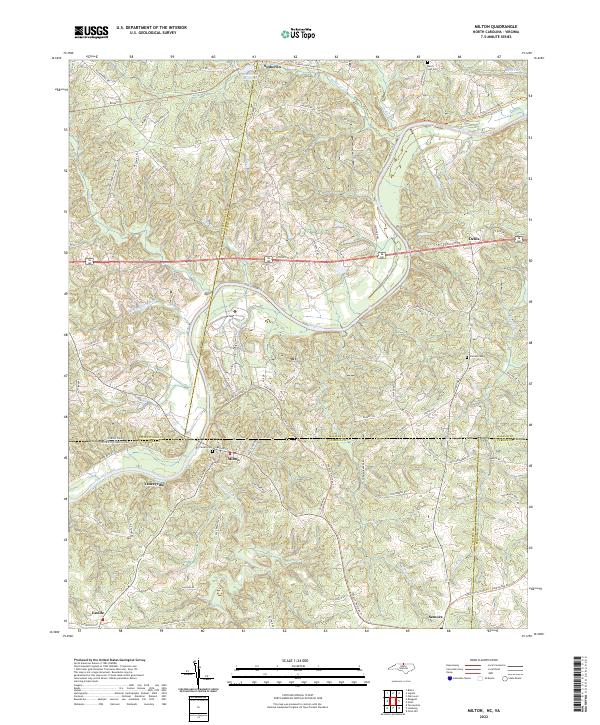 2022 Milton2022 Print · USGSThe Virginia and North Carolina borderlands come alive in this survey, showcasing the rural landscapes of Caswell and Halifax counties. Researchers can trace historical routes like the Tobacco Heritage Trl and locate family burial sites at Mercy Seat Cem or Cedars Cem.
 - 2022 Map of Ingram, 2022 Print
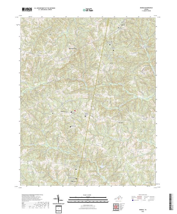 2022 Ingram2022 Print · USGSThe borderlands of Pittsylvania and Halifax Counties appear here in a detailed modern survey of Virginia's historic Piedmont. Genealogists can trace family heritage through numerous private and community sites like the Chaney Family Burial Grounds and Arbor Baptist Church Cem.
 - 2022 Map of Callands, 2022 Print
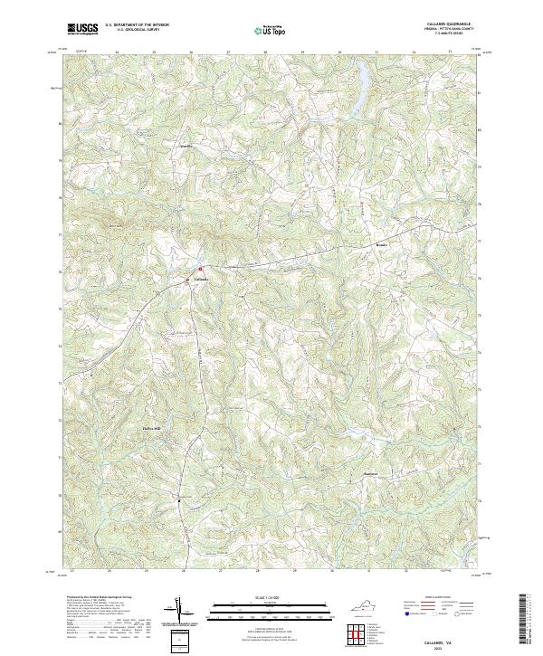 2022 Callands2022 Print · USGSPittsylvania County's rural landscape is mapped here in the early twenty-first century, showing the enduring pattern of Piedmont crossroads and river valleys. Researchers can trace family sites and local history near Hollys Mill, Gregory Cem, and the winding Banister River.
 - 2022 Map of Brosville, 2022 Print
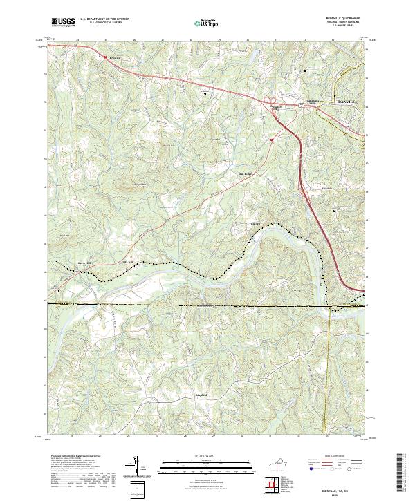 2022 Brosville2022 Print · USGSThe Virginia-North Carolina borderlands come to life in this survey of the tobacco and timber country surrounding the Dan River. Genealogists and local historians can trace family land near Bachelors Hall or find small burial sites like the Scarce Gammon Cem.
 - 2022 Map of Blairs, 2022 Print
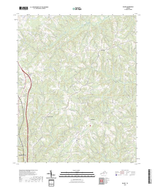 2022 Blairs2022 Print · USGSPittsylvania County in the early twenty-first century maintains its rural identity through scattered settlements and family-named landmarks. Genealogists and local historians can locate the Blankenship Lea Cemetery or trace the development of communities like Keeling and Beaver Park.
 - 2022 Map of Penhook, 2022 Print
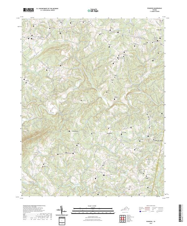 2022 Penhook2022 Print · USGSPenhook and the Franklin County borderlands are shown here in the 2020s, where the Pigg River meets Jacks Mtn. Researchers can trace family history through dozens of sites like Laprades Mill and the Anderson Family Cem.
 - 2022 Map of Republican Grove, 2022 Print
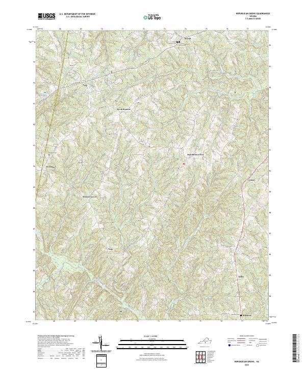 2022 Republican Grove2022 Print · USGSHalifax and Pittsylvania counties remain deeply rural in this recent survey of the Virginia Piedmont. Researchers can trace family history through sites like the Laprade Epperson Family Cemetery and small communities such as Republican Grove, Leda, and Hickory Grove.
 - 2022 Map of Axton, 2022 Print
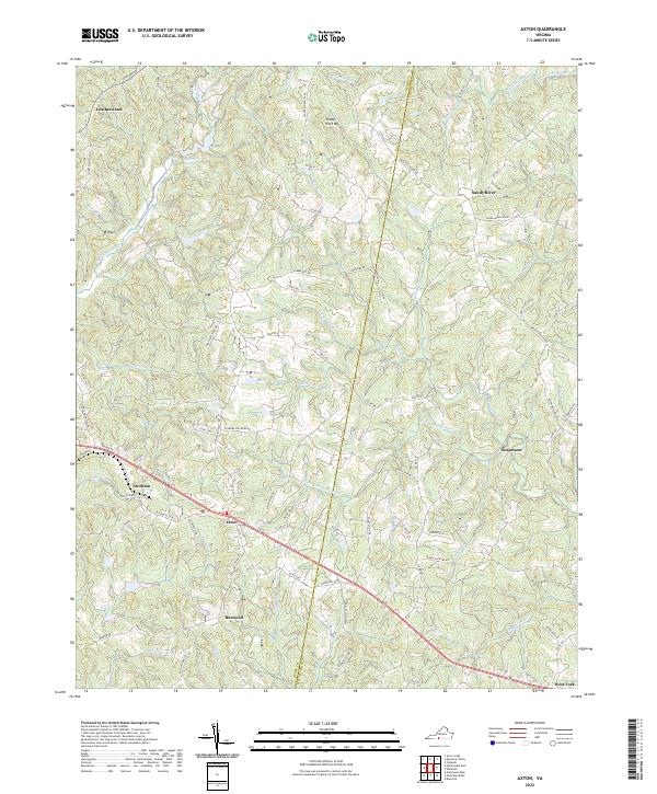 2022 Axton2022 Print · USGSThe borderlands of Henry and Pittsylvania counties come alive in this contemporary study of rural Virginia. Genealogists and researchers can trace local family landmarks and small communities from Axton and Soapstone to the heights of Glady Fork Mtn.
 - 2022 Map of Mountain Valley, 2022 Print
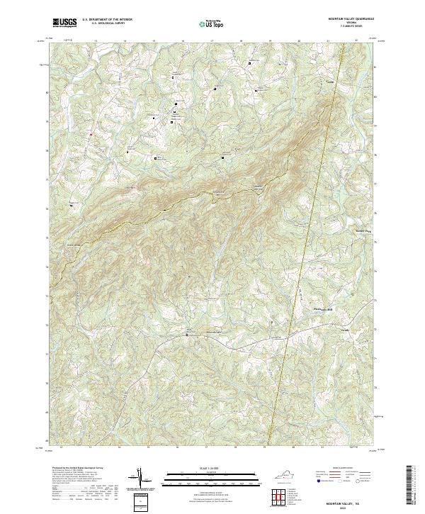 2022 Mountain Valley2022 Print · USGSSpanning the borders of Henry, Franklin, and Pittsylvania counties, this recent survey captures a landscape of steep ridges and family legacies. Researchers can locate numerous ancestral sites like Boones Chapel Cem and Swansons Mill near Turkeycock Mtn.
 - 2022 Map of Chatham, 2022 Print
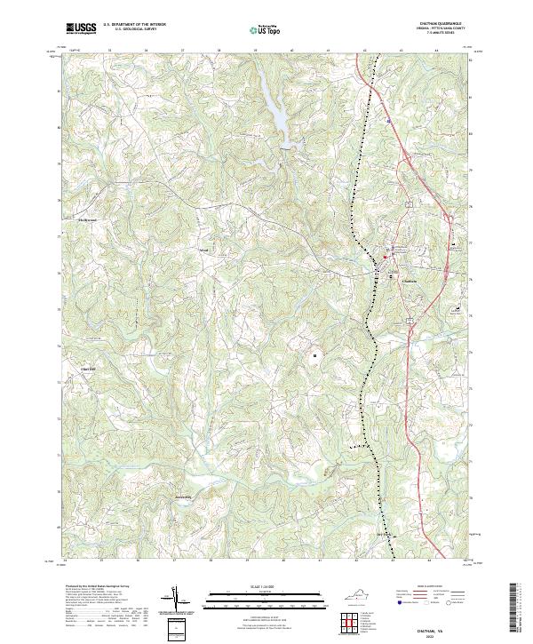 2022 Chatham2022 Print · USGSPittsylvania County's seat of government and its surrounding rural hamlets are captured here in the early twenty-first century. Genealogists can trace family landmarks like Jones Mill and the Pittsylvania County Courthouse or locate burials at Hillcrest Burial Park.
 - 2022 Map of Danville, 2022 Print
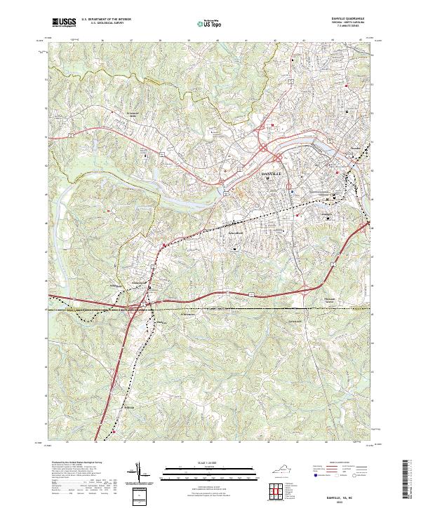 2022 Danville2022 Print · USGSThe Dan River corridor at the Virginia-North Carolina border is captured here in the early 2020s, detailing the urban landscape of Danville and its historic neighborhoods. Researchers can locate significant sites like the Danville National Cem, the Freedmens Cem, and the specialized campus of Averett University.
 - 2022 Map of Java, 2022 Print
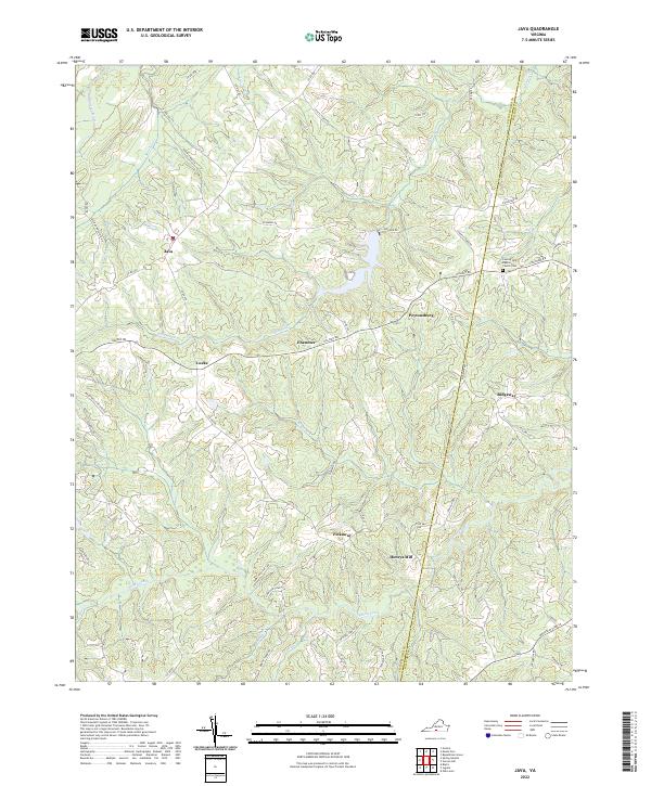 2022 Java2022 Print · USGSThe rural Virginia Piedmont comes to life on this map of the Pittsylvania and Halifax borderlands during the early twenty-first century. Genealogists and local historians can trace family sites near Henry's Mill or the venerable County Line Baptist Church Cem.
 - 2022 Map of Ringgold, 2022 Print
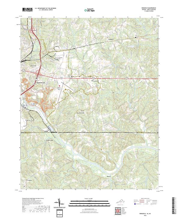 2022 Ringgold2022 Print · USGSThe Virginia and North Carolina borderlands come into focus here as modern development meets the winding path of the Dan River. Researchers can trace family sites at Mount Zion Cemetery or locate historic industry near Wallace Mill and Ringgold.
 - 2022 Map of Mount Hermon, 2022 Print
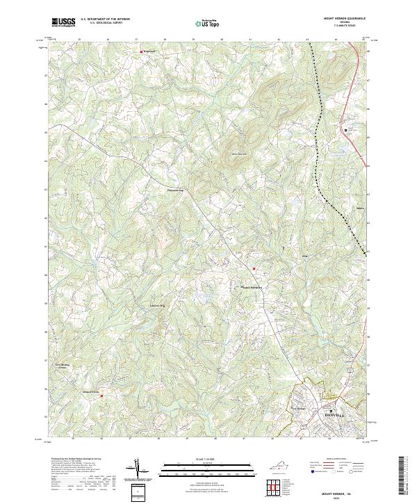 2022 Mount Hermon2022 Print · USGSNorthern Pittsylvania County and the outskirts of Danville are captured here in the early twenty-first century. Genealogists can locate Carter Cem and trace old family settlements like Laniers Mill, Hopewell, and Pleasant Gap.
 - 2022 Map of Gretna, 2022 Print
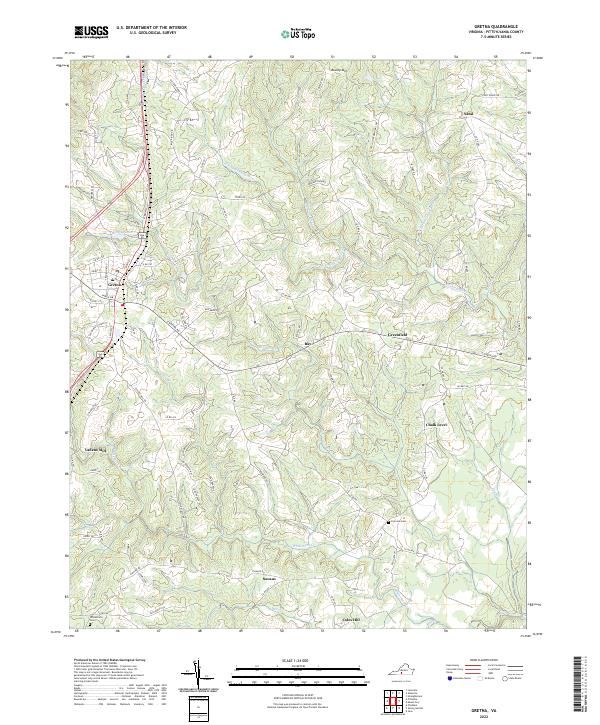 2022 Gretna2022 Print · USGSIn the early twenty-twenties, this portion of Pittsylvania County remains a landscape of rolling Piedmont ridges and historic rural crossroads. Genealogists and local historians can trace family locations near Chalk Level, Vadens Mill, or the community of Coles Hill.
 - 2022 Map of Straightstone, 2022 Print
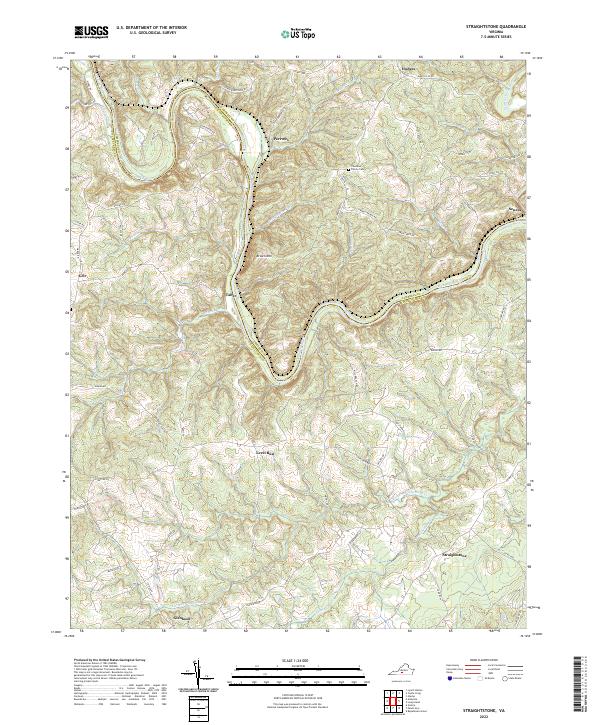 2022 Straightstone2022 Print · USGSThe Roanoke River valley on the Campbell and Pittsylvania county line comes to life in this contemporary study of rural Virginia. Trace the family landmarks and small settlements that define the region, including Thurman Family Cem, Level Run, and Straightstone.
 - 2022 Map of Castle Craig, 2022 Print
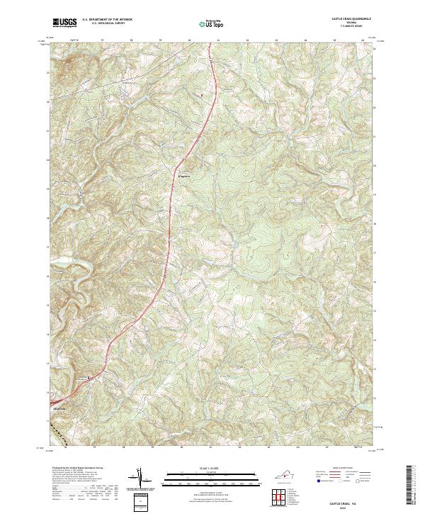 2022 Castle Craig2022 Print · USGSThe community of Altavista and the rural crossroads of Kingston are captured in this recent survey of southern Virginia. Genealogists and hikers can trace the Big Otter River and family-named routes like McDaniel Ln or visit Altavista Memorial Park.
 - 2022 Map of Leesville, 2022 Print
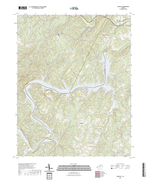 2022 Leesville2022 Print · USGSThe Roanoke River valley at the Pittsylvania and Bedford county line appears here in detail, showcasing a landscape of high ridges and rural settlements. Genealogists can trace family landmarks like Stone Road Cem or explore the geography of Leesville, Browntown, and Coles Quarter.
 - 2022 Map of Long Island, 2022 Print
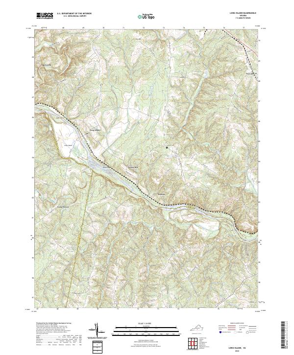 2022 Long Island2022 Print · USGSThe Roanoke River valley at the junction of Campbell, Pittsylvania, and Halifax counties is shown here as it appeared in 2022. Local historians can trace old transit routes like Stage Coach Rd and find rural landmarks such as Franklin Cem and Melrose.
Showing maps 1-25 of 28
Top cities of Pittsylvania County
- Mount Hermon historical maps
- Chatham historical maps
- Gretna historical maps
- Hurt historical maps
- Motley historical maps
Frequently asked questions
- What are the different types of historical maps available for Pittsylvania County?
- What is the oldest map of Pittsylvania County?
- Where can I purchase historical maps of Pittsylvania County for my home or office?
- Where can I download high-res historical maps of Pittsylvania County?
- Are there historical topographic maps available for Pittsylvania County?
- Is there historical aerial imagery available for Pittsylvania County?
- Where are historical maps of Pittsylvania County sourced from?