Old Maps of Pickerel, Virginia for Metal Detecting
Plan your next treasure hunt with 13 historic maps of Pickerel. Find old homesites, ghost towns, trails, and gathering spots that may be lost to time — perfect for identifying promising metal detecting locations.
- Locate forgotten sites: Uncover places like long-lost settlements, abandoned rail lines, or gathering spots.
- Plan better hunts: Use map overlays combined with LiDAR or satellite views to narrow in on historically rich areas.
- Made for detectorists: Thousands of hobbyists use these maps to discover relics, coins, and hidden history.
Use these historic maps to boost your research and find new opportunities beneath the surface of Pickerel.
Pickerel, VA maps
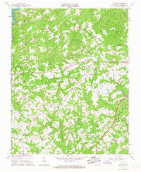
(13)- 1921 Map of Chatham
 1921 Chatham1921 Print · USGSPittsylvania County's rural heartland is captured here in the early twenties, anchored by the railway and the ridge of White Oak Mountain. Genealogists and historians can locate dozens of country landmarks like Tight Squeeze, Whittles Depot, and Mountain Spring Church.
 - 1923 Map of Chatham
 1923 Chatham1923 Print · USGSPittsylvania County's rural heartland is captured here in the early twenties, centered on the strategic rail hub of Chatham. Researchers can trace the heritage of local industry and community life through sites like Bennett Mine, Tight Squeeze, and the County Poor Farm.3 unique versions available
 - 1953 Map of Greensboro, 1981 Print
 1953 Greensboro1981 Print · USGSThe Piedmont borderlands of North Carolina and Virginia show a landscape defined by new reservoirs and old rail lines. Trace family roots and the changing river geography through Elon College, the John H Kerr Reservoir, and South Boston.
 - 1954 Map of Greensboro
 1954 Greensboro1954 Print · USGSThe Piedmont borderlands of North Carolina and Virginia come alive in this mid-fifties study of a region defined by its rivers and rails. Researchers can trace the growing Buggs Island Lake or follow the paths of the Southern Ry and Seaboard Air Line RR through towns like Oxford and Reidsville.
 - 1962 Map of Greensboro
 1962 Greensboro1962 Print · USGSThe Piedmont region along the Virginia and North Carolina border comes alive in the early 1960s, showing a landscape defined by industry and new reservoirs. Trace the path of the Virginian RR or explore the early development of Greensboro and Durham.
 - 1964 Map of Pittsville, 1967 Print
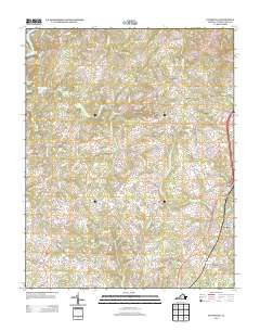
 1964 Pittsville1967 Print · USGSMid-century Pittsylvania County is captured here during a time of rural stability and emerging recreation, centered around Leesville Lake. Genealogists can trace family names through numerous Cemeteries and local landmarks like Walkers Well, Climax Sch, and Piney Grove Ch.2 unique versions available
 - 1966 Map of Greensboro
 1966 Greensboro1966 Print · USGSThe North Carolina and Virginia Piedmont thrives during the mid-sixties, showcasing a landscape of textile hubs and expanding river reservoirs. Researchers can trace the rail corridors of the Southern Railway, find local landmarks like Elon College, or locate the extensive Camp Butner Military Reservation.
 - 1984 Map of Danville
 1984 Danville1984 Print · USGSThe Virginia and North Carolina borderlands in the mid-1980s reveal a landscape of industrial river towns and rural Piedmont crossroads. Genealogists and historians can trace family sites near Highland Burial Park, find local landmarks like the Patrick Henry Monument, and locate old settlements like Callands or Milton.
 - 2011 Map of Pittsville, 2011 Print
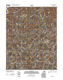 2011 Pittsville2011 Print · USGSCovers Pickerel, including Gretna, Climax, and other nearby areas
 - 2013 Map of Pittsville, 2013 Print
 2013 Pittsville2013 Print · USGSCovers Pickerel, including Gretna, Climax, and other nearby areas
 - 2016 Map of Pittsville, 2016 Print
 2016 Pittsville2016 Print · USGSCovers Pickerel, including Gretna, Climax, and other nearby areas
 - 2019 Map of Pittsville, 2019 Print
 2019 Pittsville2019 Print · USGSCovers Pickerel, including Gretna, Climax, and other nearby areas
 - 2022 Map of Pittsville, 2022 Print
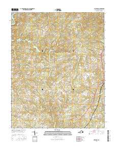
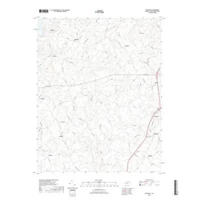
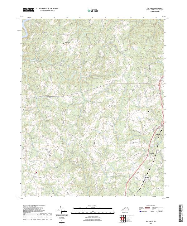 2022 Pittsville2022 Print · USGSPittsylvania County's rural communities and creek-carved valleys are documented in this recent survey. Genealogists and local historians can trace family roots near the Tosh Family Cem or along the banks of the Pigg River and Cherrystone Cr.
End of results
Showing maps 1-13 of 13
Top cities near Pickerel
- Altavista historical maps
- Chatham historical maps
- Gretna historical maps
- Hurt historical maps
- Motley historical maps
- Penhook historical maps
Frequently asked questions
- What are the different types of historical maps available for Pickerel?
- What is the oldest map of Pickerel?
- Where can I purchase historical maps of Pickerel for my home or office?
- Where can I download high-res historical maps of Pickerel?
- Are there historical topographic maps available for Pickerel?
- Is there historical aerial imagery available for Pickerel?
- Where are historical maps of Pickerel sourced from?