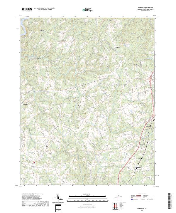
2022 Map of Pittsville
USGS Topo · Published 2022About this map
Pittsville and the surrounding rural landscapes of Pittsylvania County are defined by a network of creeks and small crossroads communities. The terrain is marked by the prominence of Farmers Mtn, while watercourses like the Pigg River, Cherrystone Cr, and the curiously named Old Womans Cr drain the undulating countryside. This 2022 survey illustrates a region where long-standing family ties are still visible on the land, most notably at the Tosh Family Cem.
Find a feature on this map
83 named features on this map. Tap any name to fly to it.
Don’t see what you’re looking for? This feature index may not catch every label — zoom into the map to look around manually.
Map Details
Editions of this 2022 Pittsville Map
This is the sole edition of this map. No revisions or reprints were ever made.
Other maps of this area

1890 · Roanoke
USGS Topo · 1:125,000

1891 · Roanoke
USGS Topo · 1:125,000

1892 · Lynchburg
USGS Topo · 1:125,000
1921 · Chatham
USGS Topo · 1:48,000
1922 · Callands
USGS Topo · 1:48,000
1923 · Chatham
USGS Topo · 1:62,500
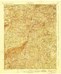
1924 · Callands
USGS Topo · 1:62,500
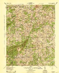
1944 · Callands
USGS Topo · 1:62,500

1947 · Roanoke
USGS Topo · 1:250,000
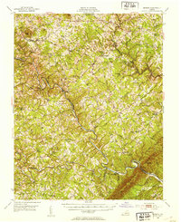
1951 · Moneta
USGS Topo · 1:62,500