Old Maps of Rappahannock County, Virginia for Metal Detecting
Plan your next treasure hunt with 93 historic maps of Rappahannock County. Find old homesites, ghost towns, trails, and gathering spots that may be lost to time — perfect for identifying promising metal detecting locations.
- Locate forgotten sites: Uncover places like long-lost settlements, abandoned rail lines, or gathering spots.
- Plan better hunts: Use map overlays combined with LiDAR or satellite views to narrow in on historically rich areas.
- Made for detectorists: Thousands of hobbyists use these maps to discover relics, coins, and hidden history.
Use these historic maps to boost your research and find new opportunities beneath the surface of Rappahannock County.
Rappahannock County, VA maps
(93)- 1893 Map of Luray, 1898 Print
 1893 Luray1898 Print · USGSThe Shenandoah Valley in the 1890s was a land of steep mountain ridges and vital new railways. Genealogists and historians can trace old homesteads and depots along the Shenandoah Valley Railroad or find remote hamlets like Seven Fountains and Browntown.
 - 1894 Map of Warrenton
 1894 Warrenton1894 Print · USGSVirginia's northern Piedmont and mountain gaps are mapped here in the late nineteenth century as the rail-and-river economy flourished. Genealogists can trace family names and small crossroads from Warrenton and Brentsville to White Sulphur Springs.9 unique versions available
 - 1894 Map of Warrenton, 1897 Print
 1894 Warrenton1897 Print · USGSFauquier County and its neighbors are documented here in the late nineteenth century, showing a landscape defined by the Bull Run Mountains and the Rappahannock. Genealogists and historians can trace old homesteads and transport hubs like Warrenton, Thorofare Gap, and Sudley Spring.
 - 1905 Map of Luray, 1910 Print
 1905 Luray1910 Print · USGSThe Blue Ridge and Shenandoah Valley are frozen in time just after the turn of the century, showing the critical rail networks and mountain gaps of the period. Genealogists can trace family names and settlements like Luray, Front Royal, and Strasburg along the Shenandoah Valley Railroad.4 unique versions available
 - 1927 Map of Remington
 1927 Remington1927 Print · USGSFauquier and Culpeper counties appear here in the late twenties, captured as a landscape of river-bottom farms and rail towns. Genealogists can trace family footprints at Fauquier Sulphur Springs, Westley Chapel, and the Luttrell Sch.4 unique versions available
 - 1929 Map of Stony Man
 1929 Stony Man1929 Print · USGSBlue Ridge mountain life and the early development of Shenandoah National Park are captured here just as the park boundary was being established. Genealogists and hikers can trace old mountain routes to the President Hoover Community Sch, locate St Luke Episcopal Mission, or find early trail markers at Sexton Shelter.2 unique versions available
 - 1930 Map of Warrenton
 1930 Warrenton1930 Print · USGSFauquier and Culpeper counties are captured here in the late twenties, showing a rural landscape organized around the Southern railroad and the Rappahannock River. Researchers can trace old school districts and river crossings like Hinson Ford and Litchfield Sch.2 unique versions available
 - 1933 Map of Stony Man
 1933 Stony Man1933 Print · USGSThe Blue Ridge highlands and Page Valley are captured here during the early years of the national park era. Genealogists and historians can trace family locations through mountain hollows and riverside crossings like Stricklers Ferry, St George Mission, and Baileys Store.3 unique versions available
 - 1939 Map of Front Royal
 1939 Front Royal1939 Print · USGSThe Blue Ridge foothills and Front Royal are shown here during the late 1930s as the national park and military reservations were being established. Genealogists and historians can trace family locations through numerous rural institutions like Mt Paran Ch, Lottie Sch, and Miller Cem.2 unique versions available
 - 1944 Map of Front Royal
 1944 Front Royal1944 Print · USGSFront Royal and the northern Blue Ridge Mountains appear here during the mid-forties as industrial growth and federal land projects reshaped the valley. Researchers can trace family sites like Miller Cem, explore the early Skyline Drive, and locate schools such as Harmony Hollow Sch.2 unique versions available
 - 1947 Map of Strasburg, 1955 Print
 1947 Strasburg1955 Print · USGSThe Shenandoah Valley during the late 1940s reveals a landscape defined by the winding North and South Forks of the river and the steep ridges of Massanutten. Genealogists can locate rural landmarks like Saint Davids Church, Bentonville, and the Mt Hebron Ch Cem.7 unique versions available
 - 1948 Map of Washington
 1948 Washington1948 Print · USGSThe Potomac and Chesapeake regions in the late 1940s reveal a landscape of expanding military reach and deep-rooted Tidewater settlements. Trace old rail corridors like the Richmond Fredericksburg & Potomac RR or locate landmarks like the Wakefield Washington Monument and St. Marys College.2 unique versions available
 - 1949 Map of Charlottesville
 1949 Charlottesville1949 Print · USGSThe Shenandoah Valley and Blue Ridge appear in the late 1940s as a thriving corridor of rail and river commerce. Researchers can trace the mid-century footprints of Harrisonburg, Staunton, and Culpeper alongside the historic routes of the Southern Railway.2 unique versions available
 - 1950 Map of Strasburg
 1950 Strasburg1950 Print · USGSThe northern Shenandoah Valley is shown just after the war, defined by the winding forks of the river and the massive ridges of Massanutten Mountain. Genealogists and historians can trace family sites at Mt Hebron Cemetery, Goode Mill, and the mountain-bound community of Seven Fountains.2 unique versions available
 - 1956 Map of Charlottesville, 1966 Print
 1956 Charlottesville1966 Print · USGSThe Shenandoah Valley and Blue Ridge are captured in detail during the mid-1960s as the modern interstate system began to emerge. Genealogists and historians can trace rail-connected hubs like Waynesboro or follow the river paths of the Rapidan River and Rivanna River.4 unique versions available
 - 1957 Map of Washington, 1966 Print
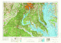 1957 Washington1966 Print · USGSThe mid-Atlantic region during the mid-fifties and early sixties reveals a landscape of growing suburbs and vital military outposts. Researchers can trace historic river towns and shorelines from Alexandria to the Hooper Islands and St Clements Island.5 unique versions available
 - 1961 Map of Washington
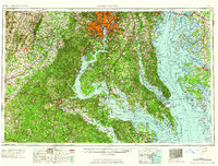 1961 Washington1961 Print · USGSThe mid-Atlantic region in the late fifties is presented in remarkable detail, from the Blue Ridge foothills to the Chesapeake Eastern Shore. Researchers can trace historic river landings and military sites like Mount Vernon, Fort Belvoir, and Point Lookout.2 unique versions available
 - 1961 Map of Sperryville, 1962 Print
 1961 Sperryville1962 Print · USGSVirginia's Piedmont and the Blue Ridge foothills come alive in this early 1960s survey of Rappahannock and Culpeper counties. Genealogists and historians can trace numerous milling communities like Monumental Mills and Peola Mills alongside local landmarks such as Hope Hill Chapel.2 unique versions available
 - 1965 Map of Thornton Gap, 1966 Print
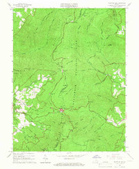 1965 Thornton Gap1966 Print · USGSShenandoah National Park and the Blue Ridge heights are captured here in the mid-sixties as recreation and mountain life intersected. Researchers can trace the winding Skyline Drive, locate the Morning Star Church, and find old shelters like Byrds Nest No 3.5 unique versions available
 - 1965 Map of Old Rag Mtn, 1966 Print
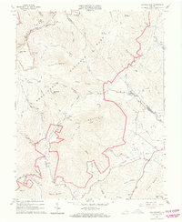 1965 Old Rag Mtn1966 Print · USGSShenandoah National Park and the eastern Blue Ridge foothills come to life in the mid-1960s. Researchers can locate the historic Corbin Cabin, trace the original route of the APPALACHIAN TRAIL, and explore the rural road networks of Etlan and Nethers.6 unique versions available
 - 1966 Map of Bentonville, 1968 Print
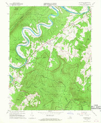 1966 Bentonville1968 Print · USGSThe Shenandoah River valley at the mid-century reveals a landscape framed by national parks and the river's great loops. Genealogists and hikers can trace the original paths of the Appalachian Trail near Bentonville, find old riverside communities like Overall, and locate rural landmarks such as Mt Carmel Ch.4 unique versions available
 - 1966 Map of Flint Hill, 1968 Print
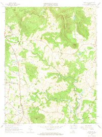 1966 Flint Hill1968 Print · USGSThe Rappahannock River valley remains deeply rural in the mid-sixties, characterized by small farming hamlets and prominent Blue Ridge foothills. Researchers can trace the original paths of the Appalachian Trail, locate Rockland Cem, and explore landmarks like Wakefield Manor and Willis Chapel.2 unique versions available
 - 1966 Map of Jeffersonton, 1969 Print
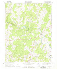 1966 Jeffersonton1969 Print · USGSMid-century Virginia Piedmont life is centered on the Rappahannock River borderlands between Culpeper and Fauquier Counties. Genealogists can trace family names and local landmarks through several rural churches like Wesley Chapel and the historic settlement at Jeffersonton.3 unique versions available
 - 1967 Map of Chester Gap, 1968 Print
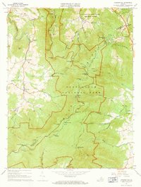 1967 Chester Gap1968 Print · USGSThe Blue Ridge high country is captured here in the late sixties, where the nascent Blue Ridge Mts Estates meets the established wilderness of the national park. Genealogists and hikers can trace the Appalachian Trail past Boyds Mill, Browntown Ch, and the Williams Cem.2 unique versions available
 - 1971 Map of Massies Corner, 1972 Print
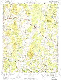 1971 Massies Corner1972 Print · USGSThe rural Virginia Piedmont comes to life in the early seventies, centered on the historic crossroads of Massies Corner and Amissville. Genealogists and historians can locate family cemeteries, country churches like Mt Moriah Ch, and the mills along the Thornton River.3 unique versions available
Showing maps 1-25 of 93
Top cities of Rappahannock County
- Chester Gap historical maps
- Flint Hill historical maps
- Sperryville historical maps
- Washington historical maps
Frequently asked questions
- What are the different types of historical maps available for Rappahannock County?
- What is the oldest map of Rappahannock County?
- Where can I purchase historical maps of Rappahannock County for my home or office?
- Where can I download high-res historical maps of Rappahannock County?
- Are there historical topographic maps available for Rappahannock County?
- Is there historical aerial imagery available for Rappahannock County?
- Where are historical maps of Rappahannock County sourced from?