2000s (21st Century) Maps of Roanoke County, Virginia
Explore 65 historic maps of Roanoke County from the 2000s (21st Century). These maps offer a rare glimpse into what life looked like during the 2000s — showing old roads, neighborhoods, homes, and landmarks that have changed or disappeared over time.
Whether you're researching your family's past, planning a metal detecting trip, or studying how Roanoke County's landscape evolved across the 2000s, these high-resolution maps are a powerful tool for exploring the history of this region.
- Focus on a specific era: All maps on this page are from the 2000s, giving you a focused view of this time period.
- See what’s changed: Compare century-old streets, trails, and buildings to today's modern landscape using overlays and satellite layers.
- Research with precision: Use these maps for genealogy, historical research, land use analysis, or educational projects.
- View, download, or print: Maps are fully viewable online in high resolution, and can be downloaded or printed for your own records.
Start exploring Roanoke County's history through authentic maps from the 2000s. This is your window into the past.
Roanoke County, VA maps
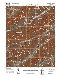
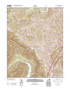
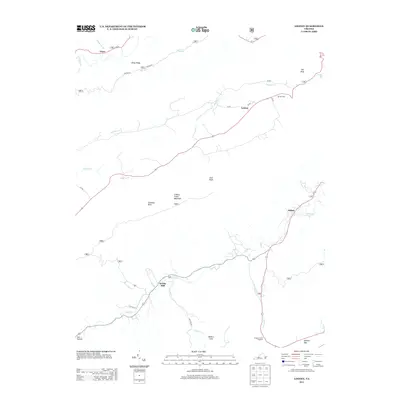
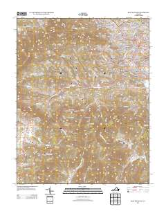
(65)- 2010 Map of Elliston, 2010 Print
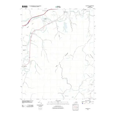 2010 Elliston2010 Print · USGSCovers Roanoke County, including Riverside, Wabun, and other nearby areas
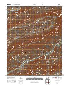
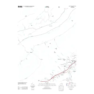
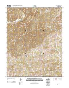
 - 2010 Map of Check, 2010 Print
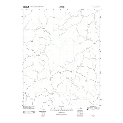 2010 Check2010 Print · USGSCovers Roanoke County, including Check, Hemlock, and other nearby areas
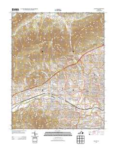
 - 2010 Map of Salem, 2010 Print
 2010 Salem2010 Print · USGSCovers Roanoke County, including Salem, Loch Haven, and other nearby areas
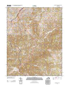
 - 2010 Map of Bent Mountain, 2010 Print
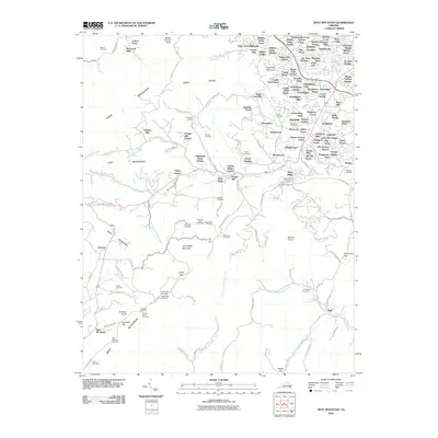 2010 Bent Mountain2010 Print · USGSCovers Roanoke County, including Cave Spring, Naff, and other nearby areas
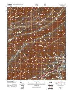
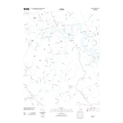
 - 2011 Map of Catawba, 2011 Print
 2011 Catawba2011 Print · USGSCovers Roanoke County, including New Castle, Medley Camp, and other nearby areas
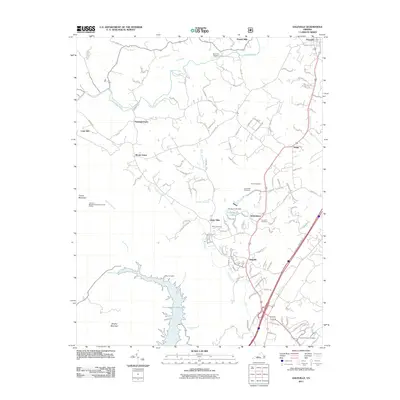
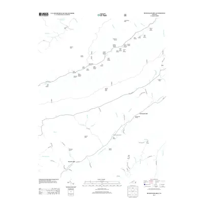
 - 2011 Map of McDonalds Mill, 2011 Print
 2011 McDonalds Mill2011 Print · USGSCovers Roanoke County, including McDonalds Mill, Bennetts Mill, and other nearby areas
 - 2011 Map of Looney, 2011 Print
 2011 Looney2011 Print · USGSCovers Roanoke County, including Abbott, Webbs Mill, and other nearby areas
 - 2011 Map of Glenvar, 2011 Print
 2011 Glenvar2011 Print · USGSCovers Roanoke County, including Jones, Bear Rock, and other nearby areas
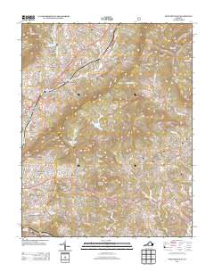
 - 2011 Map of Daleville, 2011 Print
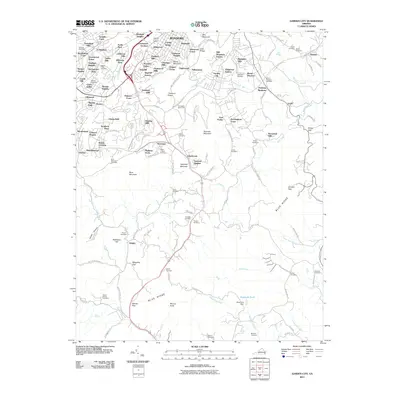
 2011 Daleville2011 Print · USGSCovers Roanoke County, including Daleville, Fincastle, and other nearby areas
 - 2011 Map of Stewartsville, 2011 Print
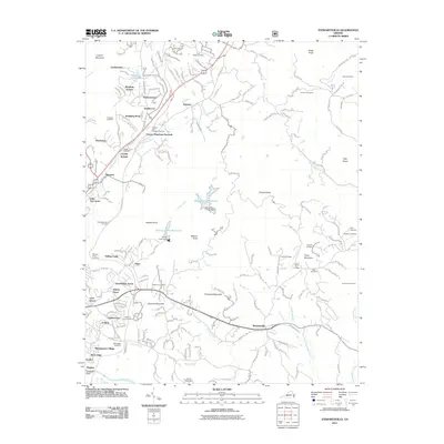 2011 Stewartsville2011 Print · USGSCovers Roanoke County, including Vinton, Rainbow Forest, and other nearby areas
 - 2011 Map of Garden City, 2011 Print
 2011 Garden City2011 Print · USGSCovers Roanoke County, including Clearbrook, Leslie, and other nearby areas
 - 2011 Map of Hardy, 2011 Print
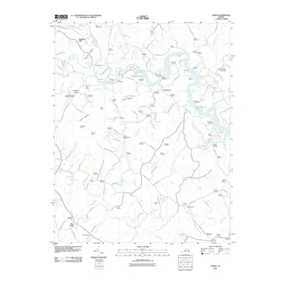 2011 Hardy2011 Print · USGSCovers Roanoke County, including Mayflower Hills, Red Valley, and other nearby areas
 - 2011 Map of Roanoke, 2011 Print
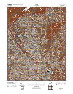 2011 Roanoke2011 Print · USGSCovers Roanoke County, including Roanoke, Hollins, and other nearby areas
 - 2013 Map of Daleville, 2013 Print
 2013 Daleville2013 Print · USGSCovers Roanoke County, including Daleville, Fincastle, and other nearby areas
 - 2013 Map of Hardy, 2013 Print
 2013 Hardy2013 Print · USGSCovers Roanoke County, including Mayflower Hills, Red Valley, and other nearby areas
 - 2013 Map of Garden City, 2013 Print
 2013 Garden City2013 Print · USGSCovers Roanoke County, including Clearbrook, Leslie, and other nearby areas
 - 2013 Map of Roanoke, 2013 Print
 2013 Roanoke2013 Print · USGSCovers Roanoke County, including Roanoke, Hollins, and other nearby areas
 - 2013 Map of Stewartsville, 2013 Print
 2013 Stewartsville2013 Print · USGSCovers Roanoke County, including Vinton, Rainbow Forest, and other nearby areas
 - 2013 Map of Looney, 2013 Print
 2013 Looney2013 Print · USGSCovers Roanoke County, including Abbott, Webbs Mill, and other nearby areas
 - 2013 Map of Glenvar, 2013 Print
 2013 Glenvar2013 Print · USGSCovers Roanoke County, including Jones, Bear Rock, and other nearby areas
 - 2013 Map of McDonalds Mill, 2013 Print
 2013 McDonalds Mill2013 Print · USGSCovers Roanoke County, including McDonalds Mill, Bennetts Mill, and other nearby areas
 - 2013 Map of Catawba, 2013 Print
 2013 Catawba2013 Print · USGSCovers Roanoke County, including New Castle, Medley Camp, and other nearby areas
 - 2013 Map of Bent Mountain, 2013 Print
 2013 Bent Mountain2013 Print · USGSCovers Roanoke County, including Cave Spring, Naff, and other nearby areas
 - 2013 Map of Salem, 2013 Print
 2013 Salem2013 Print · USGSCovers Roanoke County, including Salem, Loch Haven, and other nearby areas
 - 2013 Map of Check, 2013 Print
 2013 Check2013 Print · USGSCovers Roanoke County, including Check, Hemlock, and other nearby areas
Showing maps 1-25 of 65
Top cities of Roanoke County
Frequently asked questions
- What are the different types of historical maps available for Roanoke County?
- What is the oldest map of Roanoke County?
- Where can I purchase historical maps of Roanoke County for my home or office?
- Where can I download high-res historical maps of Roanoke County?
- Are there historical topographic maps available for Roanoke County?
- Is there historical aerial imagery available for Roanoke County?
- Where are historical maps of Roanoke County sourced from?