Old Maps of Nickelsville, Virginia for Metal Detecting
Plan your next treasure hunt with 24 historic maps of Nickelsville. Find old homesites, ghost towns, trails, and gathering spots that may be lost to time — perfect for identifying promising metal detecting locations.
- Locate forgotten sites: Uncover places like long-lost settlements, abandoned rail lines, or gathering spots.
- Plan better hunts: Use map overlays combined with LiDAR or satellite views to narrow in on historically rich areas.
- Made for detectorists: Thousands of hobbyists use these maps to discover relics, coins, and hidden history.
Use these historic maps to boost your research and find new opportunities beneath the surface of Nickelsville.
Nickelsville, VA maps
(24)- 1897 Map of Bristol
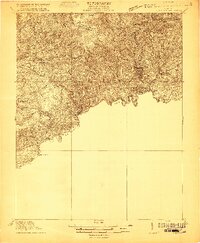
 1897 Bristol1897 Print · USGSThe Tennessee-Virginia borderlands in the late nineteenth century were a landscape of steep ridges and river-dependent commerce. Genealogists can trace family homesteads near Bickley Mill, locate river crossings like Childress Ferry, or find early rail stops along the Norfolk and Western RR.
 - 1902 Map of Bristol
 1902 Bristol1902 Print · USGSThe interstate border region around Bristol appears here at the start of the twentieth century, defined by its deep mountain ridges and river valleys. Researchers can trace the early industrial footprint of the area through numerous landmarks like Bickley Mill, Kings Mill, and the Norfolk and Western RR.6 unique versions available
 - 1920 Map of Coeburn
 1920 Coeburn1920 Print · USGSSouthwest Virginia during the height of its rail and timber era reveals a complex network of company towns and mountain settlements. Genealogists can trace family footprints near Dante, St Paul, and Castlewood, or locate rural institutions like the Greenwood School and Carter School.5 unique versions available
 - 1935 Map of Hilton
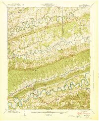
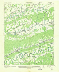 1935 Hilton1935 Print · USGSScott County in the mid-thirties reveals a landscape of high ridges and fertile river valleys at the foot of Clinch Mountain. Genealogists and historians can trace old community hubs like Mace Springs P O and Dortons Fort, along with numerous rural schools and mills.
 - 1935 Map of Mages
 1935 Mages1935 Print · USGSThe Tennessee-Virginia borderlands appear here in the mid-1930s, showing a landscape of ridge-and-valley settlements and rural crossroads. Researchers can locate numerous family-centered sites including Pyles Cem, St Joseph Ch, and Mill Point.
 - 1935 Map of Dungannon
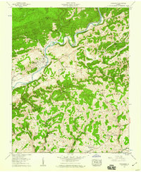
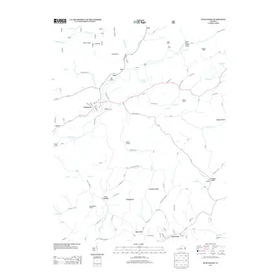
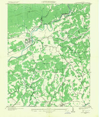 1935 Dungannon1935 Print · USGSSouthwest Virginia's river valleys and ridgelines are documented here during the mid-1930s, showing the early infrastructure of the Clinch River corridor. Genealogists can trace family footprints through numerous rural schools and churches like New Bethel Sch, Wells Chapel, and the settlement at Nickelsville.
 - 1938 Map of Hilton, 1954 Print
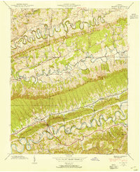 1938 Hilton1954 Print · USGSScott County settlement patterns follow the winding waters of Copper Creek and the North Fork Holston River in the late thirties. Genealogists can trace early landmarks like Dorton Fort, McConnell Mill, and Francisco Cem.4 unique versions available
 - 1939 Map of Hilton
 1939 Hilton1939 Print · USGSBefore the interstate era, this part of Scott County was a world of winding ridge-top roads and river mills. Genealogists can trace family landmarks like Francisco Cem, Dorton Fort, and old country schools from Snowflake to Maces Spring.2 unique versions available
 - 1955 Map of Johnson City
 1955 Johnson City1955 Print · USGSEast Tennessee and the bordering highlands of Virginia and Kentucky appear here during the post-war industrial boom. You can trace the complex network of mountain ridges and new TVA lakes, from Johnson City to the coalfields near Middlesboro and Lynch.
 - 1957 Map of Dungannon, 1960 Print
 1957 Dungannon1960 Print · USGSThe Clinch River valley and its iron-rail arteries come alive in this mid-century survey of Scott County. Genealogists can trace family footprints across dozens of cemeteries and country churches, from Culbertson Chapel to the Bush Mill site.3 unique versions available
 - 1957 Map of Johnson City, 1966 Print
 1957 Johnson City1966 Print · USGSUpper East Tennessee and Southwest Virginia are shown here during the mid-sixties transition of the Appalachians. Researchers can trace the industrial rail hubs of Kingsport, the sprawling waters of Cherokee Lake, and the historic Cumberland Gap.
 - 1960 Map of Johnson City
 1960 Johnson City1960 Print · USGSUpper East Tennessee and the surrounding tri-state area are shown in the mid-fifties during the height of the TVA reservoir era. Trace the industrial rail lines of the Southern and Louisville and Nashville between Kingsport and Johnson City.
 - 1963 Map of Johnson City
 1963 Johnson City1963 Print · USGSThe Tri-Cities and the surrounding Appalachian ridges are shown in detail during the early sixties, highlighting the era's vital rail and river networks. Genealogists and historians can trace the routes of the Clinchfield RR and locate settlements from Rogersville to Elizabethton.
 - 1981 Map of Bristol
 1981 Bristol1981 Print · USGSAppalachia and the Tri-Cities region are shown at a peak of industrial and rail development in the early eighties. Researchers can trace the Clinchfield Railroad through the mountains or find local landmarks like King College and the Holston Army Ammunition Plant.2 unique versions available
 - 2010 Map of Hiltons, 2010 Print
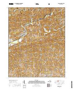
 2010 Hiltons2010 Print · USGSCovers Nickelsville, including Hiltons, Snowflake, and other nearby areas
 - 2011 Map of Dungannon, 2011 Print
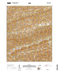
 2011 Dungannon2011 Print · USGSCovers Nickelsville, including Dungannon, Bush Mill, and other nearby areas
 - 2013 Map of Dungannon, 2013 Print
 2013 Dungannon2013 Print · USGSCovers Nickelsville, including Dungannon, Bush Mill, and other nearby areas
 - 2013 Map of Hiltons, 2013 Print
 2013 Hiltons2013 Print · USGSCovers Nickelsville, including Hiltons, Snowflake, and other nearby areas
 - 2016 Map of Dungannon, 2016 Print
 2016 Dungannon2016 Print · USGSCovers Nickelsville, including Dungannon, Bush Mill, and other nearby areas
 - 2016 Map of Hiltons, 2016 Print
 2016 Hiltons2016 Print · USGSCovers Nickelsville, including Hiltons, Snowflake, and other nearby areas
 - 2019 Map of Dungannon, 2019 Print
 2019 Dungannon2019 Print · USGSCovers Nickelsville, including Dungannon, Bush Mill, and other nearby areas
 - 2019 Map of Hiltons, 2019 Print
 2019 Hiltons2019 Print · USGSCovers Nickelsville, including Hiltons, Snowflake, and other nearby areas
 - 2022 Map of Dungannon, 2022 Print
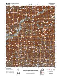
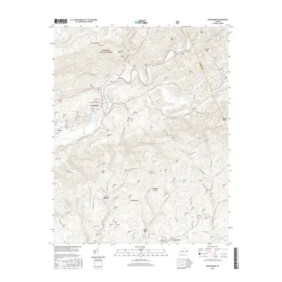
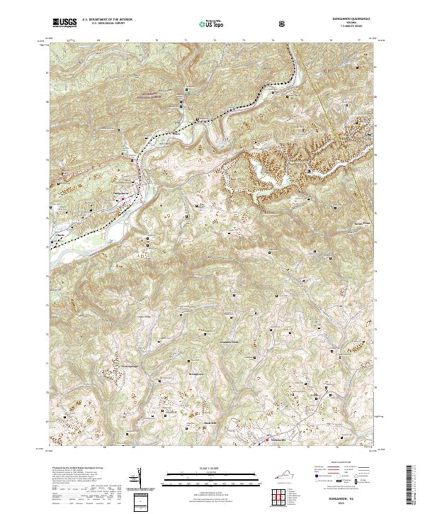 2022 Dungannon2022 Print · USGSDungannon and the Clinch River valley are shown here in the early twenty-first century, surrounded by a dense network of mountain hollows and family cemeteries. Genealogists can trace family lines through landmarks like Gillespie Cem, Bush Mill, and the Fincastle Church at the foot of Copper Ridge.
 - 2022 Map of Hiltons, 2022 Print
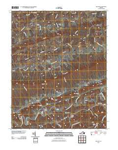
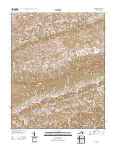
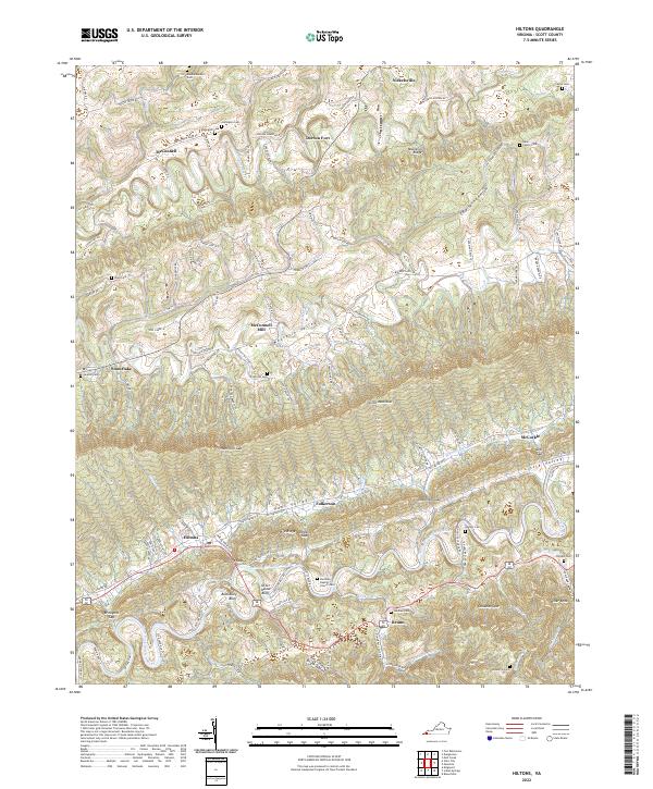 2022 Hiltons2022 Print · USGSScott County's rugged ridge-and-valley terrain is captured here in the early twenty-first century, showing how the mountains have shaped local life. Researchers can trace family history at the McConnell Mill or locate numerous ancestral plots like the Francisco Cem and Darthula Baptist Church Cem.
End of results
Showing maps 1-24 of 24
Top cities near Nickelsville
- Kingsport historical maps
- Bristol historical maps
- Bloomingdale historical maps
- Norton historical maps
- Blountville historical maps
- Wise historical maps
See more
Frequently asked questions
- What are the different types of historical maps available for Nickelsville?
- What is the oldest map of Nickelsville?
- Where can I purchase historical maps of Nickelsville for my home or office?
- Where can I download high-res historical maps of Nickelsville?
- Are there historical topographic maps available for Nickelsville?
- Is there historical aerial imagery available for Nickelsville?
- Where are historical maps of Nickelsville sourced from?