2010s Maps of Surry County, Virginia
Explore 48 historic maps of Surry County from the 2010s. These maps offer a rare glimpse into what life looked like during the 2010s — showing old roads, neighborhoods, homes, and landmarks that have changed or disappeared over time.
Whether you're researching your family's past, planning a metal detecting trip, or studying how Surry County's landscape evolved across the 2010s, these high-resolution maps are a powerful tool for exploring the history of this region.
- Focus on a specific era: All maps on this page are from the 2010s, giving you a focused view of this time period.
- See what’s changed: Compare century-old streets, trails, and buildings to today's modern landscape using overlays and satellite layers.
- Research with precision: Use these maps for genealogy, historical research, land use analysis, or educational projects.
- View, download, or print: Maps are fully viewable online in high resolution, and can be downloaded or printed for your own records.
Start exploring Surry County's history through authentic maps from the 2010s. This is your window into the past.
Surry County, VA maps
(48)- 2010 Map of Raynor, 2010 Print
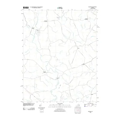 2010 Raynor2010 Print · USGSCoastal plain wetlands and rural junctions define this Isle of Wight County landscape in the early twenty-first century. Researchers can trace the winding Blackwater River and locate historic markers like Mill Swamp Cemetery and the village of Raynor.
 - 2010 Map of Surry, 2010 Print
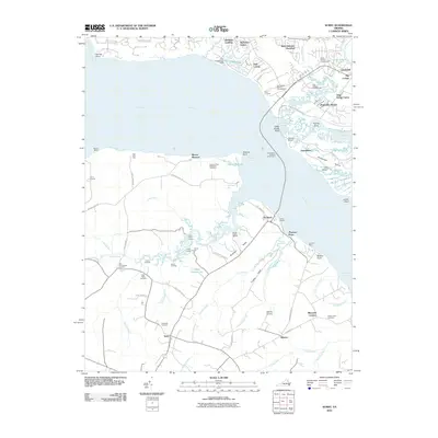 2010 Surry2010 Print · USGSCoastal Virginia and the James River corridor are shown in this contemporary study of one of America's oldest colonial regions. Trace local family history and landmarks like Smith Fort, the Jamestown-Scotland Wharf Ferry, and Oakwood Cemetery.
 - 2010 Map of Bacons Castle, 2010 Print
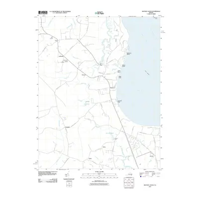 2010 Bacons Castle2010 Print · USGSCoastal Virginia life along the James River is documented here in the early twenty-first century. Genealogists and historians can trace local family landmarks through Lower Surry Cemetery, the historic area of Bacons Castle, and the waters of Burwell Bay.
 - 2010 Map of Hog Island, 2010 Print
 2010 Hog Island2010 Print · USGSThe James River corridor south of Williamsburg remains a landscape of historic peninsulas and marshy necks as seen in the early twenty-first century. Genealogists and historians can trace family sites near Highgate, locate the Travis Cemetery on Jamestown Island, and explore the wetlands of Hog Island.
 - 2010 Map of Ivor, 2010 Print
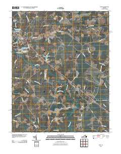 2010 Ivor2010 Print · USGSCoastal plain settlements and low-lying swamps define this Sussex County landscape in the early twenty-first century. Genealogists can locate family-named landmarks and burial sites such as Spratley Cemetery, Stephenson Cemetery, and the historic Freemans Millpond.
 - 2010 Map of Waverly, 2010 Print
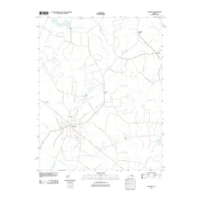 2010 Waverly2010 Print · USGSWaverly and its surrounding Sussex County wetlands are captured here in the early twenty-first century. Researchers can trace local lineage through the Waverly Cemetery and explore the rural road network connecting Gwaltney Corner, Blunts Bridge, and Carsley.
 - 2010 Map of Disputanta North, 2010 Print
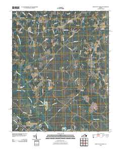 2010 Disputanta North2010 Print · USGSCoastal Virginia's rural landscape is captured here in the early twenty-first century, showing the settlement patterns of Prince George County. Researchers can locate historic rural hubs like Binford Store and Garysville or trace family roots at Bethlehem Cemetery.
 - 2011 Map of Disputanta South, 2011 Print
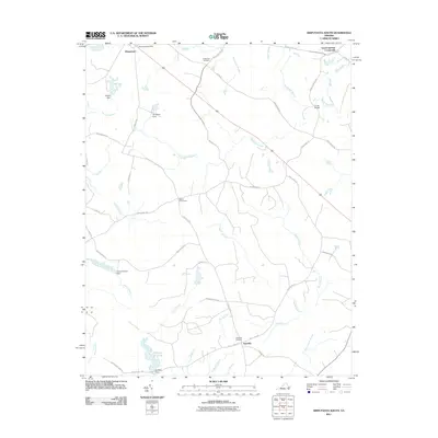 2011 Disputanta South2011 Print · USGSCoastal plain wetlands and rural Virginia crossroads come into focus during this early twenty-first century survey. Researchers can trace the legacy of local water power and transit at Nebletts Millpond, Cooks Bridge, and the Disputanta Post Office.
 - 2011 Map of Dendron, 2011 Print
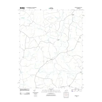 2011 Dendron2011 Print · USGSSurry County's coastal wetlands and timber lands are well-documented in this early twenty-first-century survey. Researchers can trace rural lineages through settlements like Dendron and Elberon, or locate landmarks such as Spratleys Mill and Walls Bridge.
 - 2011 Map of Claremont, 2011 Print
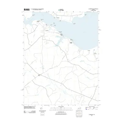 2011 Claremont2011 Print · USGSThe southern banks of the James River are captured in the early twenty-first century as the Chickahominy joins the main channel. Researchers can trace riverfront landmarks like Claremont Wharf, find Saint Annes Cemetery, and explore the marshes of Cypress Swamp.
 - 2011 Map of Runnymede, 2011 Print
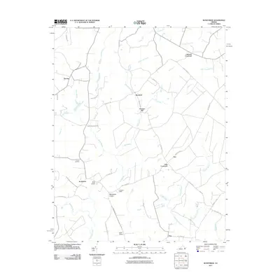 2011 Runnymede2011 Print · USGSSurry County remains a landscape defined by its wetlands and rural crossroads in the early twenty-first century. Researchers can trace local lineage and land use through landmarks like Mount Moriah Cemetery, Derrings Mill, and the community of Runnymede.
 - 2011 Map of Savedge, 2011 Print
 2011 Savedge2011 Print · USGSPrince George County and the Tidewater region of Virginia appear here as a landscape of established crossroads and winding creek systems. Genealogists and local historians can trace family locations near Burrowsville, Lone Oak Mill, or Salem Cemetery.
 - 2013 Map of Raynor, 2013 Print
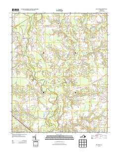 2013 Raynor2013 Print · USGSThis Isle of Wight County landscape in the early 2010s is defined by its rural intersections and vast wetlands. Researchers can trace the layout of historic junctions like Sycamore Crossroads and Raynor, or locate family-named features such as Proctors Bridge.
 - 2013 Map of Ivor, 2013 Print
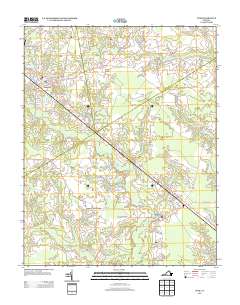 2013 Ivor2013 Print · USGSIn this early 21st-century view of Sussex County, the agricultural and swampy landscape of southeastern Virginia is mapped in high detail. Researchers can trace the legacy of rural life through local landmarks such as Saddlers Crossroads, Freemans Millpond, and the historic transit route of General Mahone Hwy.
 - 2013 Map of Savedge, 2013 Print
 2013 Savedge2013 Print · USGSCoastal Virginia crossroads and tidal creeks come into focus in this recent survey of the Burrowsville area. Genealogists and local historians can trace family-named landmarks and old settlements like Lone Oak Mill, Johnsons Landing, and Cabin Point.
 - 2013 Map of Waverly, 2013 Print
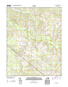 2013 Waverly2013 Print · USGSSussex County's timber and transit heritage are visible in this 2010s-era survey of the coastal plain. Genealogists and local historians can trace family-named routes and small settlements from Waverly out to Gwaltney Corner, Blunts Bridge, and Carsley.
 - 2013 Map of Disputanta South, 2013 Print
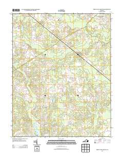 2013 Disputanta South2013 Print · USGSCoastal Virginia's lowlands are charted here in the early twenty-first century, showing the rural corridor between Disputanta and Newville. Genealogists and historians can trace family-named sites like Nebletts Millpond, Cooks Bridge, and Josephs Mill Pond among the swamps.
 - 2013 Map of Disputanta North, 2013 Print
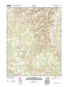 2013 Disputanta North2013 Print · USGSPrince George County in the early twenty-first century remains a landscape of historic crossroads and significant wetland systems south of the James River. Researchers can trace local development around Garysville, Newville, and Hitchcock Bridge while following the intricate reaches of the Blackwater Swamp.
 - 2013 Map of Hog Island, 2013 Print
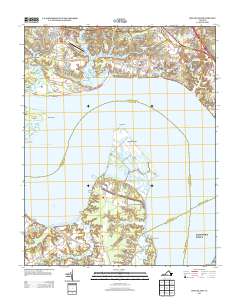 2013 Hog Island2013 Print · USGSSurry and James City Counties are shown here at the turn of the millennium, where tidal marshes meet growing residential developments. You can trace the shorelines of Hog Island, locate the rural reaches of Chippokes, and see the layout of the Williamsburg-Jamestown Airport.
 - 2013 Map of Bacons Castle, 2013 Print
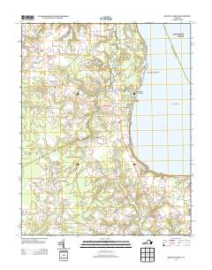 2013 Bacons Castle2013 Print · USGSThe rural Virginia coast of Isle of Wight County is captured here in the early twenty-first century as it borders the James River. Researchers can trace the layout of historic communities like Rushmere and Bacons Castle or locate waterfront landmarks such as Tylers Beach and Burwell Bay.
 - 2013 Map of Dendron, 2013 Print
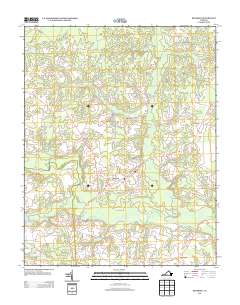 2013 Dendron2013 Print · USGSDendron and the rural reaches of Surry County are documented here in the early twenty-first century, showing a landscape shaped by the Blackwater River. Genealogists and local historians can locate Spratleys Mill, the Surry Lookout Tower, and smaller settlements like Elberon and Lazy Oak Corner.
 - 2013 Map of Claremont, 2013 Print
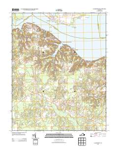 2013 Claremont2013 Print · USGSSurry County's riverfront comes into focus in the early twenty-first century, showing the transition from the James River bluffs to the deep swamps of the interior. Researchers can trace the layout of Claremont Manor, locate the Claremont Wharf, and explore the shoreline from Sunken Meadow Beach to the Pipsico Boy Scout Reservation.
 - 2013 Map of Runnymede, 2013 Print
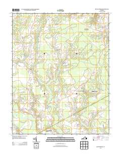 2013 Runnymede2013 Print · USGSSurry County's rural landscape is captured here in the early twenty-first century, showing a network of historic crossroads and timberlands. Researchers can trace family-named sites like Derrings Mill, Berrymans Corner, and Delk Crossroads.
 - 2013 Map of Surry, 2013 Print
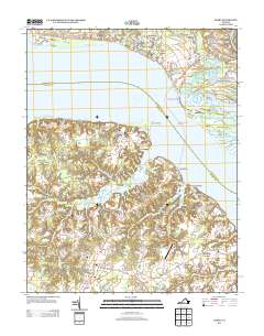 2013 Surry2013 Print · USGSThe James River corridor near Surry comes into focus in this contemporary survey of Virginia's Tidewater region. Genealogists and historians can trace the ferry route from Scotland to Jamestown, locate family sites near Old Courthouse Corners, or find Smith Fort.
 - 2016 Map of Raynor, 2016 Print
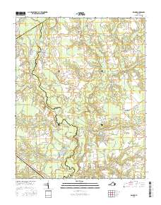 2016 Raynor2016 Print · USGSCoastal Virginia's rural landscape is captured here in the mid-2010s, where the winding Blackwater River divides Southampton and Isle of Wight counties. Genealogists can trace family connections through local landmarks like Mill Swamp Cem and small settlements like Sycamore Crossroads and Whitley.
Showing maps 1-25 of 48
Top cities of Surry County
Frequently asked questions
- What are the different types of historical maps available for Surry County?
- What is the oldest map of Surry County?
- Where can I purchase historical maps of Surry County for my home or office?
- Where can I download high-res historical maps of Surry County?
- Are there historical topographic maps available for Surry County?
- Is there historical aerial imagery available for Surry County?
- Where are historical maps of Surry County sourced from?