Old Maps of Homeville, Virginia for Genealogy
Trace your family roots with 13 historic maps of Homeville. These high-res maps reveal old neighborhoods, homesites, landmarks, and streets — helping you uncover where your ancestors lived and how the area evolved over time.
- Explore historic neighborhoods: Identify where your relatives may have lived in the 1800s or 1900s.
- Compare maps over time: Trace the changes in streets, buildings, and landmarks for multi-generational research.
- Perfect for genealogy & ancestry research: Used by family historians and researchers to map out lineage and migration.
These maps are an incredible resource for exploring your personal connection to Homeville's past.
Homeville, VA maps
(13)- 1919 Map of Homeville
 1919 Homeville1919 Print · USGSCoastal Virginia during the late teens was defined by a landscape of river crossings and timbered swamplands along the Nottoway River. Genealogists and historians can trace family-named schools and vanished millponds, including Cabin Point School, Darden Millpond, and the settlement of Sebrell.
 - 1920 Map of Homeville
 1920 Homeville1920 Print · USGSCoastal plain life in Sussex and Southampton counties thrived along the rails and rivers in the early twentieth century. Researchers can trace the legacy of small communities and crossroads schools like Sebrell, Hickory Hill School, and the Union Hill Church near the Nottoway River.3 unique versions available
 - 1943 Map of Littleton
 1943 Littleton1943 Print · USGSSussex County life in the early 1940s is centered on the winding Nottoway River and its timber-rich lowlands. Genealogists and historians can trace local community life through landmarks like Plank Road Church and School, Homeville, and Allens Bridge.
 - 1953 Map of Norfolk, 1954 Print
 1953 Norfolk1954 Print · USGSCoastal Virginia and northeastern North Carolina appear here during the post-war industrial boom, showing the critical rail-and-sea connections of Hampton Roads. Genealogists can trace family roots through rural landmarks like Gethsemane Ch, the Caledonia State Prison Farm, and the vast interior of the Dismal Swamp.4 unique versions available
 - 1956 Map of Littleton, 1958 Print
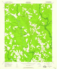 1956 Littleton1958 Print · USGSIn the mid-fifties, Sussex County remained a landscape of quiet riverside settlements and family farms along the Nottoway River. Genealogists can locate community anchors like Littleton Sch, Easter Ch, and the Patrick Henry Radio Range Sta.
 - 1968 Map of Littleton, 1970 Print
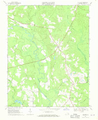 1968 Littleton1970 Print · USGSSussex County during the late 1960s was a landscape of intricate river bends and quiet crossroads. Researchers can trace the layout of small communities like Homeville and Littleton, or locate rural landmarks such as Plank Road Ch and Barretts Store.2 unique versions available
 - 1984 Map of Emporia, 1986 Print
 1984 Emporia1986 Print · USGSSouthside Virginia and the North Carolina borderlands are captured here in the mid-1980s, centered on the transit hub of Emporia. Researchers can trace old rail corridors like the Seaboard System or locate historic sites including Fort Christanna and White Oak Ch.
 - 1990 Map of Emporia
 1990 Emporia1990 Print · USGSThe Southside Virginia borderlands are captured here in the late twentieth century, showing the critical rail and river networks of the region. Genealogists and local historians can trace family roots through rural communities like Alberta, Boykins, and Dolphin along the Meherrin River.
 - 2010 Map of Littleton, 2010 Print
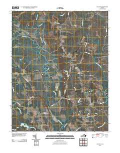 2010 Littleton2010 Print · USGSSussex County, Virginia, maintains its rural character in this recent survey of the Nottoway River lowlands. Genealogists and local historians can trace family locations near Homeville and Littleton, or locate burial sites at Oakland Cemetery and Easter Cemetery.
 - 2013 Map of Littleton, 2013 Print
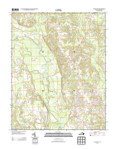 2013 Littleton2013 Print · USGSSussex County’s rural crossroads and river bottomlands are captured here in the early twenty-first century. Genealogists and local historians can trace family-named roads and landmarks around Homeville, Lumberton, and the winding Nottoway River.
 - 2016 Map of Littleton, 2016 Print
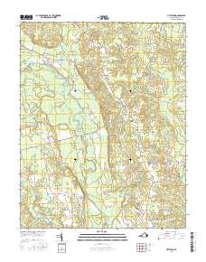 2016 Littleton2016 Print · USGSSoutheastern Virginia's rural landscape is mapped here in the early twenty-first century, centered on the historic crossroads of Homeville and Littleton. Local historians can trace old property lines and landmarks from Oakland Cem to the banks of the Nottoway River.
 - 2019 Map of Littleton, 2019 Print
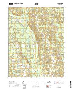 2019 Littleton2019 Print · USGSSussex County in the late 2010s reveals a landscape defined by traditional rural settlements and complex wetland systems. Genealogists and local historians can trace family locations near Oakland Cem and follow the paths of the Nottoway River and Jerusalem Plank Rd.
 - 2022 Map of Littleton, 2022 Print
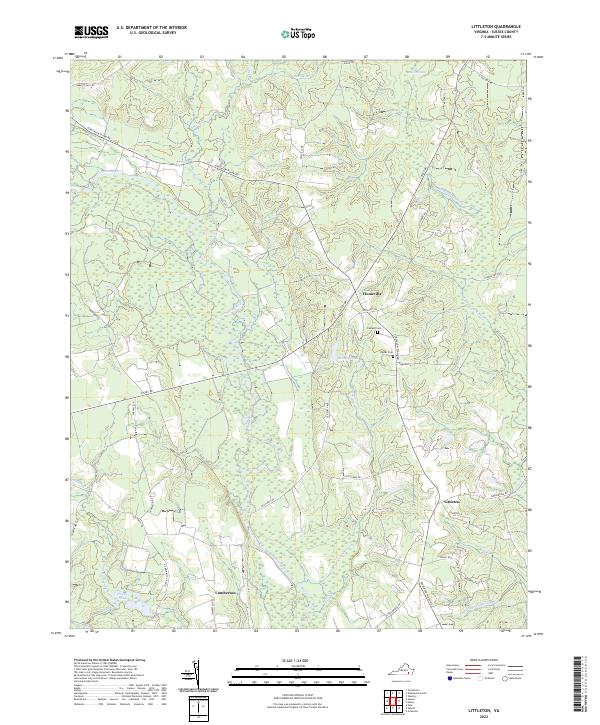 2022 Littleton2022 Print · USGSSussex County's rural timber and river lands are documented here in the early twenty-first century. Researchers can trace old family sites and road networks like Jerusalem Plank Rd, the village at Homeville, and local burials at Oakland Cem.
End of results
Showing maps 1-13 of 13
Top cities near Homeville
- Waverly historical maps
- Courtland historical maps
- Wakefield historical maps
- Sedley historical maps
- Dendron historical maps
- Stony Creek historical maps
Frequently asked questions
- What are the different types of historical maps available for Homeville?
- What is the oldest map of Homeville?
- Where can I purchase historical maps of Homeville for my home or office?
- Where can I download high-res historical maps of Homeville?
- Are there historical topographic maps available for Homeville?
- Is there historical aerial imagery available for Homeville?
- Where are historical maps of Homeville sourced from?