Old Maps of West Graham, Bluefield for Genealogy
Trace your family roots with 17 historic maps of West Graham. These high-res maps reveal old neighborhoods, homesites, landmarks, and streets — helping you uncover where your ancestors lived and how the area evolved over time.
- Explore historic neighborhoods: Identify where your relatives may have lived in the 1800s or 1900s.
- Compare maps over time: Trace the changes in streets, buildings, and landmarks for multi-generational research.
- Perfect for genealogy & ancestry research: Used by family historians and researchers to map out lineage and migration.
These maps are an incredible resource for exploring your personal connection to West Graham's past.
West Graham, Bluefield maps
(17)- 1887 Map of Pocahontas
 1887 Pocahontas1887 Print · USGSThe Virginia and West Virginia borderlands are shown here in the 1880s as the coal industry and railroads began to reshape the Appalachian ridges. Genealogists can locate early settlements and landmarks like Seddon (Bland C. H.), the valley at Burks Garden, and the Concord Church congregation.
 - 1891 Map of Pocahontas
 1891 Pocahontas1891 Print · USGSThe Virginia and West Virginia borderlands are captured here during the late nineteenth-century expansion of the coal and rail industries. Genealogists and researchers can locate early settlements like Sedon (Bland CH), Spanishburg, and Pocahontas along the newly laid Norfolk and Western Railroad.
 - 1894 Map of Pocahontas
 1894 Pocahontas1894 Print · USGSThe Virginia and West Virginia borderlands are shown here during the late nineteenth-century coal boom. Researchers can trace early railroad expansion through settlements like Pocahontas or locate family roots in mountain basins such as Burke Garden and Sed Don.
 - 1895 Map of Pocahontas
 1895 Pocahontas1895 Print · USGSCoal mining towns and the Norfolk and Western RR line the border of Virginia and West Virginia in the late nineteenth century. Genealogists can trace the early layouts of Pocahontas, Bluefield, and the unusual enclosed valley of Burke Garden.6 unique versions available
 - 1935 Map of Nye Cove
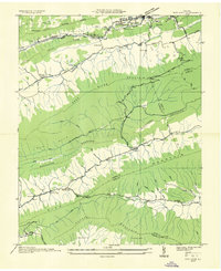 1935 Nye Cove1935 Print · USGSTazewell and Bland counties are captured here in the mid-1930s as the rail and river economy centered on the Bluestone River shaped the borderlands. Genealogists and historians can trace family locations near West Graham P O, Shawver Mill, and local landmarks like Maple Hill Cem.
 - 1936 Map of Burkes Garden
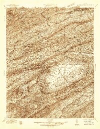 1936 Burkes Garden1936 Print · USGSTazewell and Bland Counties appear in the mid-1930s, defined by the extraordinary limestone bowl of Burkes Garden. Genealogists and historians can trace family locations near Maple Hill Cem, the Witten Mill settlement, and the industrial corridor at Bluefield.
 - 1941 Map of Burkes Garden
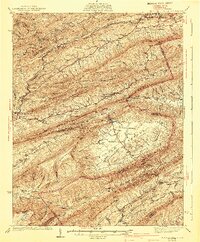 1941 Burkes Garden1941 Print · USGSTazewell County in the late nineteen-thirties reveals the distinctive enclosed valley of Burkes Garden and the rail corridors of the north. Genealogists and hikers can trace the paths to Gose Mills, rural congregations like Marys Chapel, and schools such as Redoak Sch.3 unique versions available
 - 1955 Map of Bluefield
 1955 Bluefield1955 Print · USGSThe Central Appalachian borderlands come alive in the mid-fifties, showing the coal and rail networks connecting Bluefield to Beckley. Researchers can trace the industrial landscape of the New River Ordnance Plant and the terrain of Burkes Garden.
 - 1957 Map of Bluefield, 1967 Print
 1957 Bluefield1967 Print · USGSThe heart of Central Appalachia in the mid-fifties is defined by the winding rail lines and river valleys of the coalfields. Researchers can trace the industrial footprints of towns like Welch and Princeton or locate landmarks such as the Bluestone Reservoir and Claytor Lake.2 unique versions available
 - 1961 Map of Bluefield
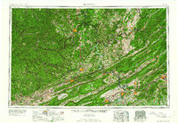 1961 Bluefield1961 Print · USGSThe coalfields and mountain ridges of southern West Virginia and southwest Virginia are captured in the early sixties. Genealogists can trace family ties through rail-linked towns like Princeton and Richlands or along the shores of Bluestone Reservoir.
 - 1968 Map of Cove Creek, 1971 Print
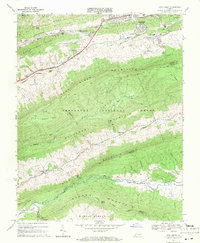 1968 Cove Creek1971 Print · USGSThe Virginia mountain country near the Bland and Tazewell border is documented here in the late sixties. Genealogists and local historians can locate Maple Hill Cemetery, the Shawver Mill, and schools like Dudley Sch along the river valleys.2 unique versions available
 - 1981 Map of Bluefield
 1981 Bluefield1981 Print · USGSThe coalfields and mountain ridges of the Virginia-West Virginia border are captured here during the early eighties. Genealogists and historians can trace the rail lines of the Norfolk and Western RR connecting Coalwood, Welch, and the unique geological basin of Burkes Garden.2 unique versions available
 - 2011 Map of Cove Creek, 2011 Print
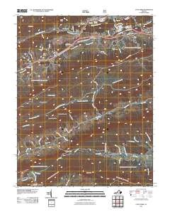 2011 Cove Creek2011 Print · USGSThe high valleys and ridge corridors of Tazewell County are shown here in the early twenty-first century. Genealogists and local historians can trace family landmarks and industrial sites like Shawver Mill, Grandview Memory Gardens, and the Gose Mill Dam.
 - 2013 Map of Cove Creek, 2013 Print
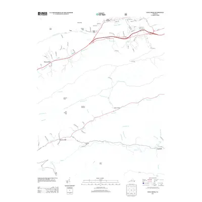 2013 Cove Creek2013 Print · USGSTazewell County's ridgeline settlements and valley crossroads are captured here in the early twenty-first century. Genealogists and local historians can trace family land between Shawver Mill, Grapefield, and the waters of the Bluestone River.
 - 2016 Map of Cove Creek, 2016 Print
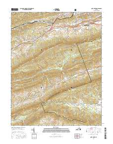 2016 Cove Creek2016 Print · USGSTazewell and Bland Counties are shown here during the mid-2010s, where the suburban streets of BLUEFIELD give way to the forested slopes of Rich Mtn. Researchers can trace old family sites and local landmarks like Shawver Mill, Gose Mill, and Lukes Cem.
 - 2019 Map of Cove Creek, 2019 Print
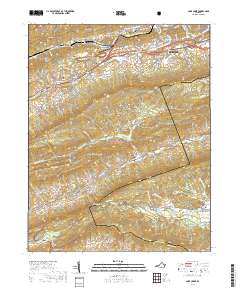 2019 Cove Creek2019 Print · USGSTazewell County's ridgelines and valley settlements are captured here in the late twenty-teens, showing the expansion of Bluefield against the Jefferson National Forest. Researchers can trace the heritage of the region through landmarks like Shawver Mill, Saint Clair, and the high mountain basin of Burkes Garden.
 - 2022 Map of Cove Creek, 2022 Print
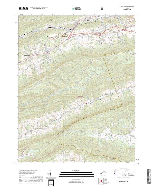 2022 Cove Creek2022 Print · USGSThe high ridges and deep valleys of the Virginia mountains are captured here in the early twenty-first century. Researchers can trace historic travel routes like the Fincastle Tpke or locate family sites at Shawver Mill and Maple Hill Cem.
End of results
Showing maps 1-17 of 17
Frequently asked questions
- What are the different types of historical maps available for West Graham?
- What is the oldest map of West Graham?
- Where can I purchase historical maps of West Graham for my home or office?
- Where can I download high-res historical maps of West Graham?
- Are there historical topographic maps available for West Graham?
- Is there historical aerial imagery available for West Graham?
- Where are historical maps of West Graham sourced from?