Old Maps of Clarkston, Washington for Academic Research
Study the evolution of Clarkston with 12 high-resolution historic maps. Whether you're teaching, researching, or modeling changes in land use, these maps provide essential visual documentation of urban, environmental, and geographic change.
- Analyze long-term change: Track patterns in development, transportation, and natural features.
- Ideal for environmental or urban studies: Support academic projects with primary historical map data.
- Use in the classroom or lab: Educators and researchers rely on these maps to bring historical context to life.
These maps are a powerful tool for teaching, research, and visualizing how Clarkston has changed over the decades.
Clarkston, WA maps
(12)- 1945 Map of Clarkston, 1965 Print
 1945 Clarkston1965 Print · USGSThe Snake and Clearwater rivers meet in the mid-1940s, showing the early industrial growth of the border towns. Genealogists can trace family landmarks like Huggins Ranch and Stout Ranch or locate burials at Vineland Cem and Asotin Cem.
 - 1948 Map of Clarkston
 1948 Clarkston1948 Print · USGSSoutheast Washington and the Idaho border come alive in this post-war survey of the Snake and Clearwater river junction. Genealogists and local historians can trace family roots through sites like Vineland Cem, Huggins Ranch, and the early township of Asotin.
 - 1955 Map of Pullman, 1963 Print
 1955 Pullman1963 Print · USGSThe Palouse and Clearwater regions are captured here in the mid-1950s, showing the height of the rail-and-river economy. Genealogists and historians can trace rail lines like the Camas Prairie RR, find local landmarks like Whitman County Memorial Cem, and locate early academic centers at Washington State University and the University of Idaho.3 unique versions available
 - 1958 Map of Pullman
 1958 Pullman1958 Print · USGSThe Palouse and Clearwater regions are captured here in the late fifties, showing the vital river-and-rail connection between eastern Washington and northern Idaho. Local historians can trace the paths of the Camas Prairie RR and Union Pacific RR as they serve towns like Colfax, Kamiah, and Nezperce.2 unique versions available
 - 1971 Map of Clarkston, 1974 Print
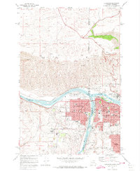 1971 Clarkston1974 Print · USGSThe growing border communities of Clarkston and Lewiston are captured in the early 1970s at the meeting of the Snake and Clearwater Rivers. Genealogists can locate family landmarks like Vineland Cemetery, Stout Ranch, and the North Idaho Childrens Home.2 unique versions available
 - 1975 Map of Clarkston, 1977 Print
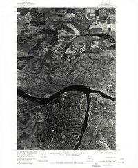 1975 Clarkston1977 Print · USGSThe border towns of Washington and Idaho come into sharp focus in the mid-seventies, showing the urban footprint of Clarkston and Lewiston. Trace the residential grids of Lewiston Orchards and the confluence of the Snake River and Clearwater River.
 - 1981 Map of Clarkston
 1981 Clarkston1981 Print · USGSNorthwestern river life and mountain terrain meet in the early eighties as the Snake River carves through the landscape. Researchers can trace rail history along the Camas Prairie Railroad and locate smaller settlements like Peola and Anatone.2 unique versions available
 - 2011 Map of Clarkston, 2011 Print
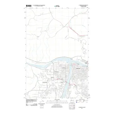 2011 Clarkston2011 Print · USGSThe confluence of the Snake and Clearwater Rivers dominates this view of the Idaho-Washington border at the start of the twenty-first century. Researchers can trace urban expansion across West Clarkston and North Lewiston or locate landmarks like Vineland Cemetery and the Lewiston Airport.
 - 2014 Map of Clarkston, 2014 Print
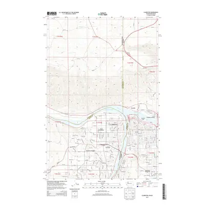 2014 Clarkston2014 Print · USGSThe confluence of the Snake and Clearwater rivers defines this border region in the early 2010s, where Washington and Idaho meet. Genealogists and local historians can trace the residential blocks of Clarkston and Vineland or locate the historic Vineland Cem.
 - 2017 Map of Clarkston, 2017 Print
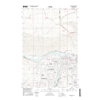 2017 Clarkston2017 Print · USGSThe growing river communities of Clarkston and Lewiston are captured here during a period of modern expansion at the Snake and Clearwater confluence. Genealogists and local historians can trace residential growth from Vineland to Lewiston Orchards or locate family plots at Vineland Cem.
 - 2020 Map of Clarkston, 2020 Print
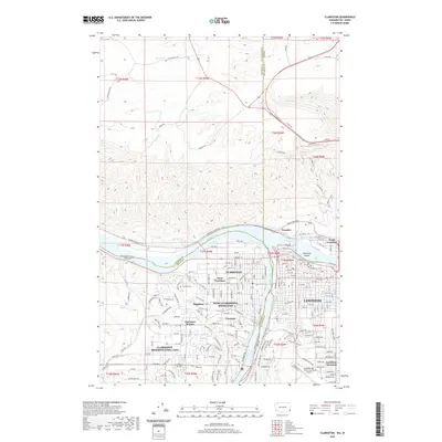 2020 Clarkston2020 Print · USGSThe confluence of the Snake and Clearwater Rivers defines this 2020 look at the Washington-Idaho border. Researchers can trace local genealogy at Vineland Cem or explore the civic layout of Clarkston, Lewiston, and Lewiston Orchards.
 - 2023 Map of Clarkston, 2023 Print
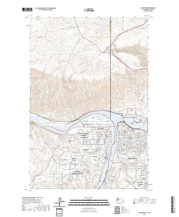 2023 Clarkston2023 Print · USGSClarkston and Lewiston straddle the Snake River confluence in this detailed contemporary view of the Washington-Idaho border. Researchers can trace property and family histories through local landmarks like Vineland Cem, the Nez Perce County Courthouse, and the campus of Lewis Clark State College.
End of results
Showing maps 1-12 of 12
Top cities near Clarkston
- Lewiston historical maps
- Asotin historical maps
- Genesee historical maps
- Colton historical maps
- Uniontown historical maps
Frequently asked questions
- What are the different types of historical maps available for Clarkston?
- What is the oldest map of Clarkston?
- Where can I purchase historical maps of Clarkston for my home or office?
- Where can I download high-res historical maps of Clarkston?
- Are there historical topographic maps available for Clarkston?
- Is there historical aerial imagery available for Clarkston?
- Where are historical maps of Clarkston sourced from?