Old Maps of Leavenworth, Washington for Metal Detecting
Plan your next treasure hunt with 12 historic maps of Leavenworth. Find old homesites, ghost towns, trails, and gathering spots that may be lost to time — perfect for identifying promising metal detecting locations.
- Locate forgotten sites: Uncover places like long-lost settlements, abandoned rail lines, or gathering spots.
- Plan better hunts: Use map overlays combined with LiDAR or satellite views to narrow in on historically rich areas.
- Made for detectorists: Thousands of hobbyists use these maps to discover relics, coins, and hidden history.
Use these historic maps to boost your research and find new opportunities beneath the surface of Leavenworth.
Leavenworth, WA maps
(12)- 1901 Map of Chiwaukum, 1956 Print
 1901 Chiwaukum1956 Print · USGSChelan County is captured at the dawn of the twentieth century as the railroad began to transform the high Cascades. Researchers can trace the original Great Northern R.R. route through mountain hamlets like Merritt, Winton, and the Dardanelles P O.2 unique versions available
 - 1904 Map of Chiwaukum
 1904 Chiwaukum1904 Print · USGSThe Great Northern corridor and the eastern slopes of the Cascades appear here just after the turn of the century. Trace the rail line through Leavenworth and Merritt, or locate remote landmarks like Soda Spring and Wenatchee Lake.6 unique versions available
 - 1957 Map of Wenatchee, 1973 Print
 1957 Wenatchee1973 Print · USGSThe northern Cascades and Columbia River valley appear here in the mid-fifties, showing the region's critical rail and transit corridors. Researchers can trace the routes of the Great Northern RR and Milwaukee Road through settlements like Skykomish, Baring, and Dryden.2 unique versions available
 - 1964 Map of Leavenworth, 1966 Print
 1964 Leavenworth1966 Print · USGSThe Wenatchee River valley and its rail-and-river network are captured in detail during the mid-sixties. Researchers can trace the development of Leavenworth and Peshastin, or locate family-history sites like the Leavenworth Cem and Medicine Spring.3 unique versions available
 - 1975 Map of Chelan, 1977 Print
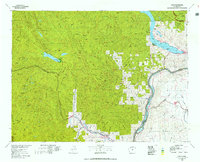 1975 Chelan1977 Print · USGSThe northern Cascades meet the Columbia River in the mid-seventies, showing the deep glacial valleys and high plateaus of central Washington. Trace the legacy of mountain railroading through Tumwater Canyon and explore the lakeshore communities of Manson and Lakeside.2 unique versions available
 - 1989 Map of Leavenworth
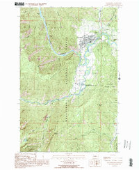 1989 Leavenworth1989 Print · USGSLeavenworth in the late eighties serves as a gateway between the river valley and the high Stuart Range. Genealogists and historians can trace the town's layout near Mtn View Cem, the Cascade Jr-Sr High, and the Leavenworth National Fish Hatchery.3 unique versions available
 - 2003 Map of Leavenworth, 2006 Print
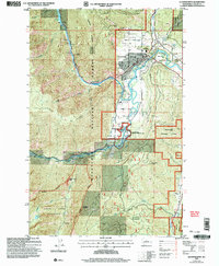 2003 Leavenworth2006 Print · USGSLeavenworth is shown here in the early 2000s, captured at the meeting point of mountain wilderness and valley settlement. Researchers can trace the development of the Leavenworth National Fish Hatchery and locate landmarks like Mtn View Cem and Castle Rock.
 - 2011 Map of Leavenworth, 2011 Print
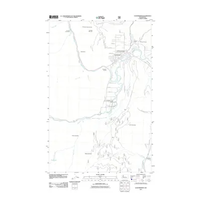 2011 Leavenworth2011 Print · USGSLeavenworth and the Wenatchee River valley are captured here in the early twenty-first century, showing the town's position at the mouth of the canyon. Genealogists and researchers can locate Leavenworth Cemetery, the Leavenworth National Fish Hatchery, and the Tumwater Canyon Dam.
 - 2014 Map of Leavenworth, 2014 Print
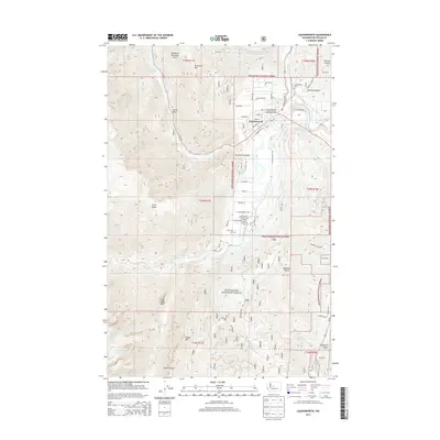 2014 Leavenworth2014 Print · USGSLeavenworth and the Wenatchee River valley are documented here in the early twenty-first century, showing the town at the foot of the Cascades. Researchers can trace local landmarks like the Leavenworth National Fish Hatchery, Leavenworth Cem, and the winding Icicle Canal.
 - 2017 Map of Leavenworth, 2017 Print
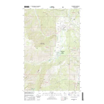 2017 Leavenworth2017 Print · USGSLeavenworth and the surrounding high Cascades are shown here in the late twenty-teens as the community grew along the Wenatchee River. Trace the local landscape from the Leavenworth National Fish Hatchery to remote landmarks like Snow Lakes and Boundary Butte.
 - 2020 Map of Leavenworth, 2020 Print
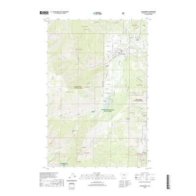 2020 Leavenworth2020 Print · USGSLeavenworth is shown in the twenty-first century as a thriving mountain town shaped by its dramatic river geography and Alpine character. Researchers can trace local landmarks like the Leavenworth National Fish Hatchery, the Tumwater Penstock, and the Mountain View Cem.
 - 2023 Map of Leavenworth, 2023 Print
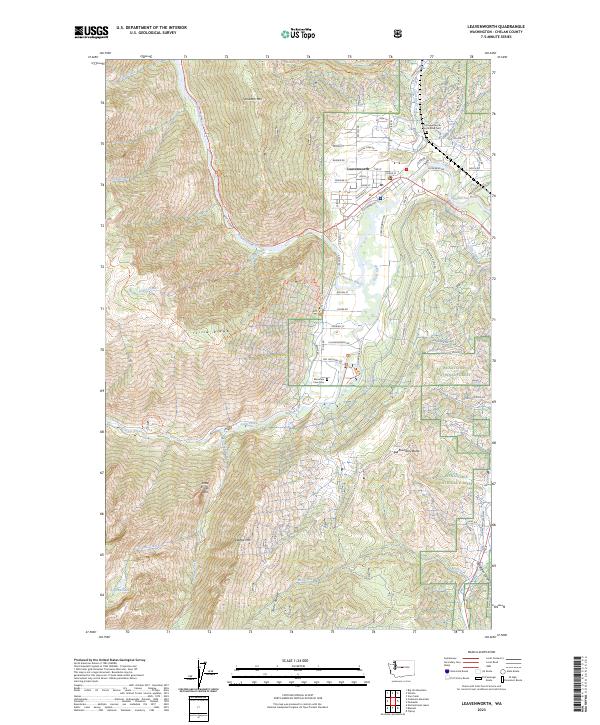 2023 Leavenworth2023 Print · USGSLeavenworth is shown in the early 2020s at the junction of the Wenatchee River and Icicle Creek. Genealogists and hikers can locate Old Leavenworth North Road Cem and trace the paths along Icicle Ridge into the Alpine Lakes Wilderness.
End of results
Showing maps 1-12 of 12
Top cities near Leavenworth
Frequently asked questions
- What are the different types of historical maps available for Leavenworth?
- What is the oldest map of Leavenworth?
- Where can I purchase historical maps of Leavenworth for my home or office?
- Where can I download high-res historical maps of Leavenworth?
- Are there historical topographic maps available for Leavenworth?
- Is there historical aerial imagery available for Leavenworth?
- Where are historical maps of Leavenworth sourced from?