Old Maps of Maplecreek, Washington for Academic Research
Study the evolution of Maplecreek with 10 high-resolution historic maps. Whether you're teaching, researching, or modeling changes in land use, these maps provide essential visual documentation of urban, environmental, and geographic change.
- Analyze long-term change: Track patterns in development, transportation, and natural features.
- Ideal for environmental or urban studies: Support academic projects with primary historical map data.
- Use in the classroom or lab: Educators and researchers rely on these maps to bring historical context to life.
These maps are a powerful tool for teaching, research, and visualizing how Maplecreek has changed over the decades.
Maplecreek, WA maps
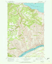
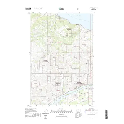
(10)- 1901 Map of Chelan
 1901 Chelan1901 Print · USGSNorth Central Washington is captured at the dawn of the twentieth century, showing the early development of the lake and river valleys. Researchers can trace the original Wapato Indian Reservation boundary and locate early townsites like Lakeside and Waterville.6 unique versions available
 - 1957 Map of Wenatchee, 1973 Print
 1957 Wenatchee1973 Print · USGSThe northern Cascades and Columbia River valley appear here in the mid-fifties, showing the region's critical rail and transit corridors. Researchers can trace the routes of the Great Northern RR and Milwaukee Road through settlements like Skykomish, Baring, and Dryden.2 unique versions available
 - 1968 Map of Winesap, 1972 Print
 1968 Winesap1972 Print · USGSThe rugged hills between Lake Chelan and the Columbia River are documented here in the late sixties as the region's transport and utility networks expanded. Researchers can trace the Burlington Northern line and locate small settlements like Winesap and Brays Landing.3 unique versions available
 - 1975 Map of Chelan, 1977 Print
 1975 Chelan1977 Print · USGSThe northern Cascades meet the Columbia River in the mid-seventies, showing the deep glacial valleys and high plateaus of central Washington. Trace the legacy of mountain railroading through Tumwater Canyon and explore the lakeshore communities of Manson and Lakeside.2 unique versions available
 - 2004 Map of Winesap, 2008 Print
 2004 Winesap2008 Print · USGSThe transition from river valley to high forest is captured here at the beginning of the millennium. Genealogists and local historians can trace the roads around Winesap and Sunnybank, or locate landmarks like Goosetail Rock and the Mine in the forest.
 - 2011 Map of Winesap, 2011 Print
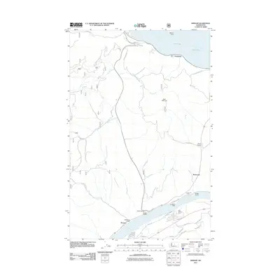 2011 Winesap2011 Print · USGSCovers Maplecreek, including Winesap, Sunnybank, and other nearby areas
 - 2014 Map of Winesap, 2014 Print
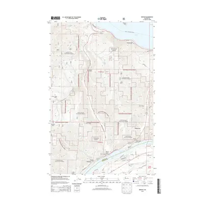 2014 Winesap2014 Print · USGSCovers Maplecreek, including Winesap, Sunnybank, and other nearby areas
 - 2017 Map of Winesap, 2017 Print
 2017 Winesap2017 Print · USGSCovers Maplecreek, including Winesap, Sunnybank, and other nearby areas
 - 2020 Map of Winesap, 2020 Print
 2020 Winesap2020 Print · USGSCovers Maplecreek, including Winesap, Sunnybank, and other nearby areas
 - 2023 Map of Winesap, 2023 Print
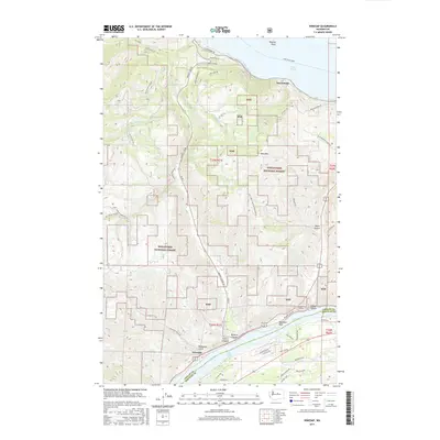
 2023 Winesap2023 Print · USGSChelan County in the early 2020s shows a landscape of steep coulees and critical water routes connecting mountain settlements. You can trace the path of the Lake Chelan Ferry or locate local landmarks like Winesap, Goosetail Rock, and Wapato Point.
End of results
Showing maps 1-10 of 10
Top cities near Maplecreek
Frequently asked questions
- What are the different types of historical maps available for Maplecreek?
- What is the oldest map of Maplecreek?
- Where can I purchase historical maps of Maplecreek for my home or office?
- Where can I download high-res historical maps of Maplecreek?
- Are there historical topographic maps available for Maplecreek?
- Is there historical aerial imagery available for Maplecreek?
- Where are historical maps of Maplecreek sourced from?