Old Maps of Duluth, Washington for Academic Research
Study the evolution of Duluth with 15 high-resolution historic maps. Whether you're teaching, researching, or modeling changes in land use, these maps provide essential visual documentation of urban, environmental, and geographic change.
- Analyze long-term change: Track patterns in development, transportation, and natural features.
- Ideal for environmental or urban studies: Support academic projects with primary historical map data.
- Use in the classroom or lab: Educators and researchers rely on these maps to bring historical context to life.
These maps are a powerful tool for teaching, research, and visualizing how Duluth has changed over the decades.
Duluth, WA maps
(15)- 1940 Map of La Center
 1940 La Center1940 Print · USGSClark County, Washington, is shown just before the war as a landscape of river-valley farms and timber outposts. Researchers can trace family roots through named intersections like Dollar Corner and Scotton Corner or locate vanished sites like the Ariel School.
 - 1948 Map of Vancouver, 1957 Print
 1948 Vancouver1957 Print · USGSPost-war growth transforms the river valleys of the Pacific Northwest as the timber and rail economy thrives. Trace family roots in Tillamook or Oregon City, and locate vanished landmarks like the spit at Bayocean or the Skamania Mine.
 - 1950 Map of Vancouver
 1950 Vancouver1950 Print · USGSCoastal Oregon and the lower Columbia River valley are captured in detail just after the war. Researchers can trace historic rail routes like the Southern Pacific or locate early settlements such as Vernonia, Gaston, and the Grand Ronde Indian Reservation.
 - 1950 Map of Vancouver, 1951 Print
 1950 Vancouver1951 Print · USGSThe Pacific Northwest urban corridor meets the rugged coast in the years following the war, showing the expansion of Portland and Vancouver. Genealogists and historians can trace the reach of the Southern Pacific RR and locate coastal communities like Tillamook, Seaside, and Tolovana Park.
 - 1954 Map of Ridgefield, 1956 Print
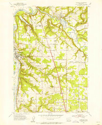 1954 Ridgefield1956 Print · USGSRidgefield and La Center sit at the heart of Clark County in the mid-fifties, shaped by the winding courses of the Lewis River and its East Fork. Genealogists and historians can trace early school sites and local landmarks like Mt Zion Cemetery, Bethel Church, and the Pekin Ferry Road.3 unique versions available
 - 1954 Map of La Center, 1957 Print
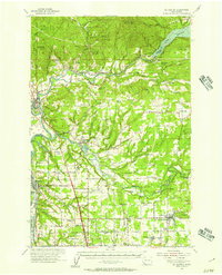 1954 La Center1957 Print · USGSThe Clark and Cowlitz county borderlands in the mid-1950s show a mix of river-valley agriculture and rugged uplands. Researchers can trace rural school consolidation at Enterprise Sch or locate ancestors at Highland Cem and Dublin Cem.2 unique versions available
 - 1958 Map of Vancouver, 1968 Print
 1958 Vancouver1968 Print · USGSThe Lower Columbia and Willamette valleys thrive in the late sixties as major rail and river hubs. Genealogists and historians can trace the development of Portland, identify the grounds of Camp Withycombe, and locate coastal landmarks from Tillamook Head to Garibaldi.3 unique versions available
 - 1964 Map of Vancouver
 1964 Vancouver1964 Print · USGSThe Pacific Northwest interior and coast are shown here in the 1960s, from the Portland metropolitan hub to the rugged Pacific shoreline. Researchers can trace the legacy of the Grand Ronde Indian Reservation, the early layout of McMinnville, and the maritime approaches near Tillamook Head.
 - 1979 Map of Vancouver, 1980 Print
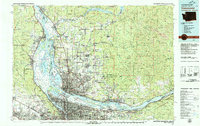 1979 Vancouver1980 Print · USGSThe Portland and Vancouver metropolitan area is captured here in the late seventies, showing the dense nexus of river, rail, and air transit. Genealogists and local historians can trace the footprints of Vancouver Barracks, Lincoln Memorial Park Cem, and the old rail lines of the Burlington Northern.2 unique versions available
 - 1990 Map of Ridgefield, 1995 Print
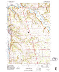 1990 Ridgefield1995 Print · USGSNear the confluence of the Lewis and East Fork Lewis Rivers in the early 1990s, this area reflects a balance of rural homesteads and protected wetlands. Researchers can locate family landmarks like Mount Zion Cemetery and historic routes such as Pekin Ferry Road.
 - 2011 Map of Ridgefield, 2011 Print
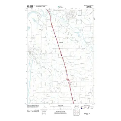 2011 Ridgefield2011 Print · USGSThe Clark County riverfront and Interstate 5 corridor are shown here in the early twenty-first century as the area continued to develop. Trace the locations of historic community sites like Mount Zion Cemetery, Lambert School, and the Ridgefield Post Office.
 - 2014 Map of Ridgefield, 2014 Print
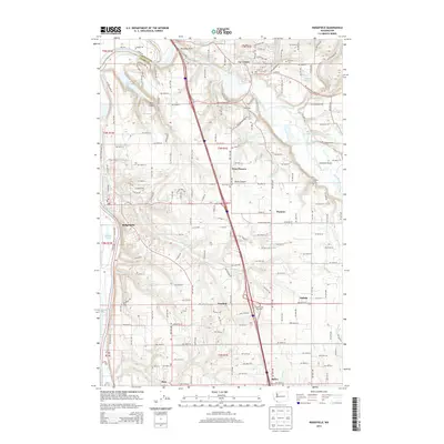 2014 Ridgefield2014 Print · USGSRidgefield and La Center appear in this decade as thriving communities amidst the wetlands of the Lewis River valley. Genealogists can locate family landmarks like Mt Zion Cem and Pioneer Cem or trace the early paths of Gee Creek.
 - 2017 Map of Ridgefield, 2017 Print
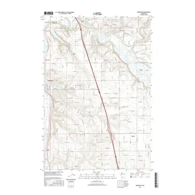 2017 Ridgefield2017 Print · USGSClark County settlement and the winding Lewis River valley come into focus during the late twenty-tens. Genealogists and local historians can trace family sites near Zion Cemetery, the old community of Sara, and the namesake Fairview Schoolhouse Creek.
 - 2020 Map of Ridgefield, 2020 Print
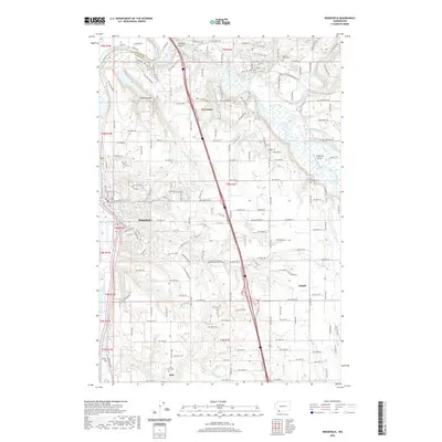 2020 Ridgefield2020 Print · USGSRidgefield and the Lewis River valley are captured here in the 2020s, showing the modern layout of Clark County's historic river towns. Genealogists and local historians can trace family sites at the Pioneer Cem, Mount Zion Cem, and the old settlement of Sara.
 - 2023 Map of Ridgefield, 2023 Print
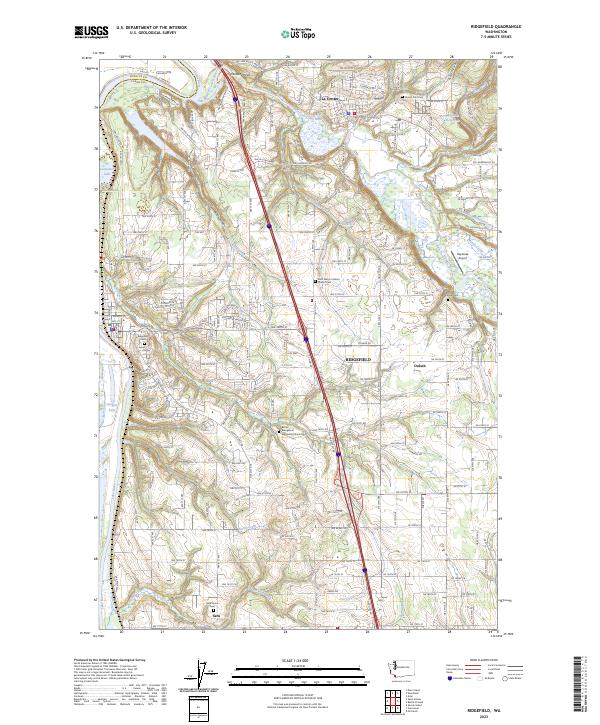 2023 Ridgefield2023 Print · USGSRidgefield and La Center are captured here in the 2020s, showing the intersection of conservation lands and growing valley communities. Genealogists can trace family footprints through several burial sites like Sara Union Cem and the Saint Marys Catholic Church Cem.
End of results
Showing maps 1-15 of 15
Frequently asked questions
- What are the different types of historical maps available for Duluth?
- What is the oldest map of Duluth?
- Where can I purchase historical maps of Duluth for my home or office?
- Where can I download high-res historical maps of Duluth?
- Are there historical topographic maps available for Duluth?
- Is there historical aerial imagery available for Duluth?
- Where are historical maps of Duluth sourced from?