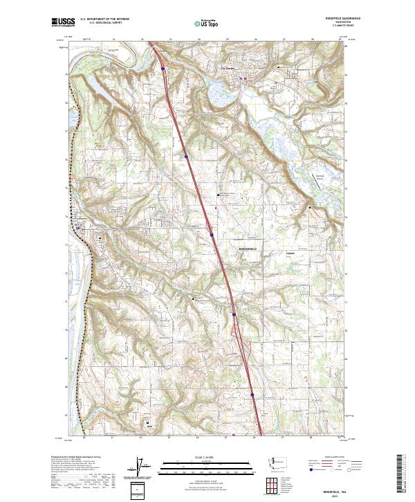
2023 Map of Ridgefield
USGS Topo · Published 2023About this map
Lewis River and its East Fork Lewis River define the northern hydrology of this Clark County landscape, where the waters meet the extensive wetlands of the Ridgefield National Wildlife Refuge. The map details a corridor of growth along Interstate 5, connecting the established centers of Ridgefield and La Center with smaller historical settlements like Sara and Duluth. For local historians, the sheet is particularly dense with genealogical markers, noting numerous burial sites including Sara Union Cem, Mount Zion Cem, and church-affiliated grounds such as Saint Marys Catholic Church Cem. The terrain transitions from the river lowlands to the elevated Allen Canyon, revealing a network of rural roads and water features like Gee Creek and Hiim Reservoir that supported the area's agricultural development.
Find a feature on this map
182 named features on this map. Tap any name to fly to it.
Don’t see what you’re looking for? This feature index may not catch every label — zoom into the map to look around manually.
Map Details
Editions of this 2023 Ridgefield Map
This is the sole edition of this map. No revisions or reprints were ever made.
Other maps of this area

1897 · Portland
USGS Topo · 1:62,500

1905 · Portland
USGS Topo · 1:62,500

1915 · Hillsboro
USGS Topo · 1:62,500

1918 · Hillsboro
USGS Topo · 1:62,500

1922 · St. Helens
USGS Topo · 1:62,500

1940 · Hillsboro
USGS Topo · 1:62,500

1940 · Portland
USGS Topo · 1:62,500

1940 · La Center
USGS Topo · 1:62,500

1941 · St Helens
USGS Topo · 1:62,500

1943 · St Helens
USGS Topo · 1:62,500