Old Maps of Ridgefield, Washington for Hiking & Exploration
Hike through history with 27 historic maps of Ridgefield. Explore old trails, ghost towns, and forgotten backroads — perfect for outdoor adventurers and local explorers.
- Rediscover forgotten places: Map out old mining camps, roads, and footpaths that no longer exist on modern maps.
- Layer with modern tools: Combine with LiDAR or satellite views to plan hikes through historical terrain.
- Made for exploration: Popular among hikers, overlanders, and local history lovers.
Use these maps to find adventure and explore the hidden past of Ridgefield.
Ridgefield, WA maps
(27)- 1922 Map of St. Helens
 1922 St. Helens1922 Print · USGSThe Columbia River valley in the early twenties was a hub of logging and river commerce. Genealogists can trace family roots through old post offices like Yankton P.O. and Warren P.O. or locate historic industry at the Dupont Powder Co. site.
 - 1940 Map of La Center
 1940 La Center1940 Print · USGSClark County, Washington, is shown just before the war as a landscape of river-valley farms and timber outposts. Researchers can trace family roots through named intersections like Dollar Corner and Scotton Corner or locate vanished sites like the Ariel School.
 - 1941 Map of St Helens
 1941 St Helens1941 Print · USGSThe Columbia River waterfront near St. Helens was a thriving industrial and agricultural corridor just before the war. Trace old rail stops at Honeymoon Sta, rural schoolhouses like Shilo Basin Sch, and the shifting river islands from Deer Island to Bachelor Island.
 - 1943 Map of St Helens
 1943 St Helens1943 Print · USGSThe Columbia River corridor during the mid-forties shows a bustling network of riverfront towns and upland settlements. Researchers can trace historic river landings like Caples Landing alongside rural landmarks such as Yankton, Trenholm, and Shilo Basin Sch.
 - 1948 Map of Vancouver, 1957 Print
 1948 Vancouver1957 Print · USGSPost-war growth transforms the river valleys of the Pacific Northwest as the timber and rail economy thrives. Trace family roots in Tillamook or Oregon City, and locate vanished landmarks like the spit at Bayocean or the Skamania Mine.
 - 1950 Map of Vancouver
 1950 Vancouver1950 Print · USGSCoastal Oregon and the lower Columbia River valley are captured in detail just after the war. Researchers can trace historic rail routes like the Southern Pacific or locate early settlements such as Vernonia, Gaston, and the Grand Ronde Indian Reservation.
 - 1950 Map of Vancouver, 1951 Print
 1950 Vancouver1951 Print · USGSThe Pacific Northwest urban corridor meets the rugged coast in the years following the war, showing the expansion of Portland and Vancouver. Genealogists and historians can trace the reach of the Southern Pacific RR and locate coastal communities like Tillamook, Seaside, and Tolovana Park.
 - 1954 Map of Ridgefield, 1956 Print
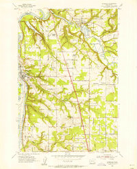 1954 Ridgefield1956 Print · USGSRidgefield and La Center sit at the heart of Clark County in the mid-fifties, shaped by the winding courses of the Lewis River and its East Fork. Genealogists and historians can trace early school sites and local landmarks like Mt Zion Cemetery, Bethel Church, and the Pekin Ferry Road.3 unique versions available
 - 1954 Map of St. Helens, 1957 Print
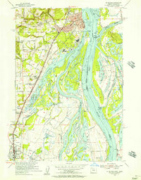 1954 St. Helens1957 Print · USGSThe Columbia River waterfront at St. Helens and Scappoose is shown in the mid-fifties, just as the regional transport network was maturing. Researchers can trace old property access via Robinette Road or locate vanished landmarks like the McBride Sch and Ridgefield Ferry.3 unique versions available
 - 1954 Map of La Center, 1957 Print
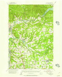 1954 La Center1957 Print · USGSThe Clark and Cowlitz county borderlands in the mid-1950s show a mix of river-valley agriculture and rugged uplands. Researchers can trace rural school consolidation at Enterprise Sch or locate ancestors at Highland Cem and Dublin Cem.2 unique versions available
 - 1954 Map of St Helens, 1962 Print
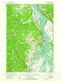 1954 St Helens1962 Print · USGSThe Columbia River waterfront and its surrounding timberlands are captured here in the mid-1950s. Genealogists and researchers can trace the locations of rural schools and landmarks like the Wilark Guard Station, Shiloh Basin Cemetery, and Bachelor Flat.2 unique versions available
 - 1958 Map of Vancouver, 1968 Print
 1958 Vancouver1968 Print · USGSThe Lower Columbia and Willamette valleys thrive in the late sixties as major rail and river hubs. Genealogists and historians can trace the development of Portland, identify the grounds of Camp Withycombe, and locate coastal landmarks from Tillamook Head to Garibaldi.3 unique versions available
 - 1964 Map of Vancouver
 1964 Vancouver1964 Print · USGSThe Pacific Northwest interior and coast are shown here in the 1960s, from the Portland metropolitan hub to the rugged Pacific shoreline. Researchers can trace the legacy of the Grand Ronde Indian Reservation, the early layout of McMinnville, and the maritime approaches near Tillamook Head.
 - 1979 Map of Vancouver, 1980 Print
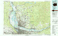 1979 Vancouver1980 Print · USGSThe Portland and Vancouver metropolitan area is captured here in the late seventies, showing the dense nexus of river, rail, and air transit. Genealogists and local historians can trace the footprints of Vancouver Barracks, Lincoln Memorial Park Cem, and the old rail lines of the Burlington Northern.2 unique versions available
 - 1990 Map of Saint Helens, 1995 Print
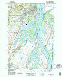 1990 Saint Helens1995 Print · USGSThe Columbia River corridor near the Oregon-Washington border is captured here during the mid-nineties, showing the evolving relationship between industry and wildlife preservation. Researchers can trace the Portland & Western RR through Warren or locate local landmarks like Warrior Rock and the Scappoose Industrial Airpark.
 - 1990 Map of Ridgefield, 1995 Print
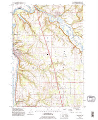 1990 Ridgefield1995 Print · USGSNear the confluence of the Lewis and East Fork Lewis Rivers in the early 1990s, this area reflects a balance of rural homesteads and protected wetlands. Researchers can locate family landmarks like Mount Zion Cemetery and historic routes such as Pekin Ferry Road.
 - 2011 Map of Ridgefield, 2011 Print
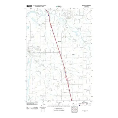 2011 Ridgefield2011 Print · USGSThe Clark County riverfront and Interstate 5 corridor are shown here in the early twenty-first century as the area continued to develop. Trace the locations of historic community sites like Mount Zion Cemetery, Lambert School, and the Ridgefield Post Office.
 - 2011 Map of Saint Helens, 2011 Print
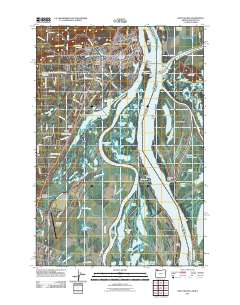 2011 Saint Helens2011 Print · USGSThe riverfront around Saint Helens and Warren is shown in detail during the early 21st century. Researchers can locate family sites at the Independent Order of Odd Fellows Cemetery or trace industrial landmarks like the Multnomah Plywood facility and Warrior Rock Light.
 - 2014 Map of Ridgefield, 2014 Print
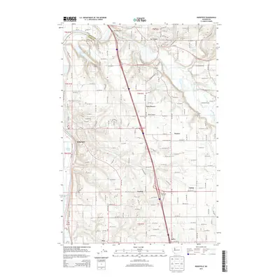 2014 Ridgefield2014 Print · USGSRidgefield and La Center appear in this decade as thriving communities amidst the wetlands of the Lewis River valley. Genealogists can locate family landmarks like Mt Zion Cem and Pioneer Cem or trace the early paths of Gee Creek.
 - 2014 Map of Saint Helens, 2014 Print
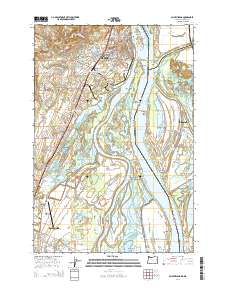 2014 Saint Helens2014 Print · USGSThe Columbia River dominates this 2010s landscape where Oregon and Washington meet among a dense network of sloughs and islands. Researchers can trace local heritage at the Independent Order of Odd Fellows Cem or explore the river-dependent geography of Sauvie Island and Bachelor Island.
 - 2017 Map of Ridgefield, 2017 Print
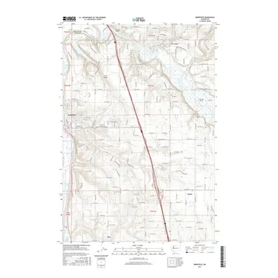 2017 Ridgefield2017 Print · USGSClark County settlement and the winding Lewis River valley come into focus during the late twenty-tens. Genealogists and local historians can trace family sites near Zion Cemetery, the old community of Sara, and the namesake Fairview Schoolhouse Creek.
 - 2017 Map of Saint Helens, 2017 Print
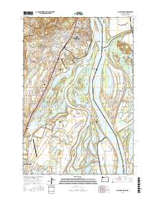 2017 Saint Helens2017 Print · USGSThe Columbia River waterfront at Saint Helens comes alive in this 2010s survey of the river's winding channels and industrial corridors. Genealogists and historians can trace family plots at the Lutheran Cem or explore the river geography of Bachelor Island and Warrior Rock.
 - 2020 Map of Ridgefield, 2020 Print
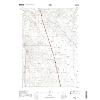 2020 Ridgefield2020 Print · USGSRidgefield and the Lewis River valley are captured here in the 2020s, showing the modern layout of Clark County's historic river towns. Genealogists and local historians can trace family sites at the Pioneer Cem, Mount Zion Cem, and the old settlement of Sara.
 - 2020 Map of Saint Helens, 2020 Print
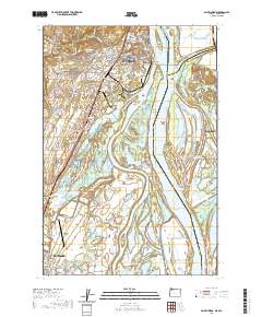 2020 Saint Helens2020 Print · USGSThe Columbia River shoreline and its intricate network of islands and sloughs define this region in the modern era. Genealogists and historians can locate legacy sites like the Independent Order of Odd Fellows Cem and the Columbia County Courthouse.
 - 2023 Map of Saint Helens, 2023 Print
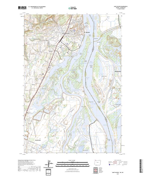 2023 Saint Helens2023 Print · USGSThe Columbia River corridor at the Oregon-Washington border is captured here in detail, showing the riverfront development of St. Helens and Ridgefield. Researchers can locate family sites near Bethany Memorial Cem or trace the complex wetlands of the Ridgefield National Wildlife Refuge.
Showing maps 1-25 of 27
Top cities near Ridgefield
- Portland historical maps
- Vancouver historical maps
- Battle Ground historical maps
- Saint Helens historical maps
- Scappoose historical maps
- Woodland historical maps
See more
Top neighborhoods of Ridgefield
Frequently asked questions
- What are the different types of historical maps available for Ridgefield?
- What is the oldest map of Ridgefield?
- Where can I purchase historical maps of Ridgefield for my home or office?
- Where can I download high-res historical maps of Ridgefield?
- Are there historical topographic maps available for Ridgefield?
- Is there historical aerial imagery available for Ridgefield?
- Where are historical maps of Ridgefield sourced from?