Old Maps of Patit, Washington for Hiking & Exploration
Hike through history with 13 historic maps of Patit. Explore old trails, ghost towns, and forgotten backroads — perfect for outdoor adventurers and local explorers.
- Rediscover forgotten places: Map out old mining camps, roads, and footpaths that no longer exist on modern maps.
- Layer with modern tools: Combine with LiDAR or satellite views to plan hikes through historical terrain.
- Made for exploration: Popular among hikers, overlanders, and local history lovers.
Use these maps to find adventure and explore the hidden past of Patit.
Patit, WA maps
(13)- 1937 Map of Pomeroy
 1937 Pomeroy1937 Print · USGSGarfield and Columbia Counties appear in the late thirties as a patchwork of upland farms and forest outposts. Genealogists and historians can locate rural landmarks like Pataha Cem, the Tucannon Guard Sta, and various country schools including Pine Grove Sch.3 unique versions available
 - 1942 Map of Pomeroy
 1942 Pomeroy1942 Print · USGSThe foothills of the Blue Mountains are captured here in the late 1930s, showing the settled valleys of Garfield and Columbia Counties. Genealogists and local historians can locate early rural landmarks like Pataha City, Jackson Sch, and the UNION PACIFIC rail line serving Dayton.2 unique versions available
 - 1955 Map of Pullman, 1963 Print
 1955 Pullman1963 Print · USGSThe Palouse and Clearwater regions are captured here in the mid-1950s, showing the height of the rail-and-river economy. Genealogists and historians can trace rail lines like the Camas Prairie RR, find local landmarks like Whitman County Memorial Cem, and locate early academic centers at Washington State University and the University of Idaho.3 unique versions available
 - 1958 Map of Pullman
 1958 Pullman1958 Print · USGSThe Palouse and Clearwater regions are captured here in the late fifties, showing the vital river-and-rail connection between eastern Washington and northern Idaho. Local historians can trace the paths of the Camas Prairie RR and Union Pacific RR as they serve towns like Colfax, Kamiah, and Nezperce.2 unique versions available
 - 1967 Map of Cahill Mtn, 1971 Print
 1967 Cahill Mtn1971 Print · USGSThe northern Blue Mountains come into sharp focus in the late sixties as the high ridges of the Umatilla N F are mapped in detail. Genealogists and historians can trace the Patit (Site) and the fire-watch history at Thorn Lookout Tower.2 unique versions available
 - 1976 Map of Cahill Mtn, 1980 Print
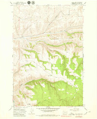 1976 Cahill Mtn1980 Print · USGSColumbia County is shown in the mid-1970s during a period of transition between valley settlement and high-country forestry. Researchers can trace the location of Patit (Site), the lookout at Thorn Lookout Tower, and the route of the Kendall Skyline Road.
 - 1981 Map of Clarkston
 1981 Clarkston1981 Print · USGSNorthwestern river life and mountain terrain meet in the early eighties as the Snake River carves through the landscape. Researchers can trace rail history along the Camas Prairie Railroad and locate smaller settlements like Peola and Anatone.2 unique versions available
 - 1995 Map of Cahill Mountain, 1998 Print
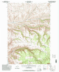 1995 Cahill Mountain1998 Print · USGSThe high ridges and deep gulches of Columbia County are captured here in the mid-1990s. Researchers can trace the high-elevation Kendall Skyline Road past the Thorn Lookout or locate the historic Patit (Site).
 - 2011 Map of Cahill Mountain, 2011 Print
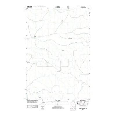 2011 Cahill Mountain2011 Print · USGSColumbia County’s rugged foothill country comes into focus in this recent survey of the lands surrounding Patit. Researchers can trace the high-elevation paths of Kendall Skyline Rd and locate landmarks like the Thorn Lookout Tower and Pioneer Memorial Park.
 - 2013 Map of Cahill Mountain, 2013 Print
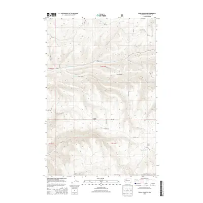 2013 Cahill Mountain2013 Print · USGSThe foothills of the Blue Mountains in the early twenty-first century are defined by high ridges and deep-cut gulches. Researchers can trace land use and local geography through Starvout Ridge, the Umatilla National Forest, and the small settlement of Patit.
 - 2017 Map of Cahill Mountain, 2017 Print
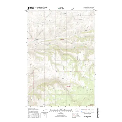 2017 Cahill Mountain2017 Print · USGSColumbia County’s high ridges and steep canyons are captured here in the late twenty-tens as the agricultural plateau meets the forest. Researchers can trace land use patterns and family-named terrain like Lewis Hollow, Rodgers Gulch, and the prominent Cahill Mountain.
 - 2020 Map of Cahill Mountain, 2020 Print
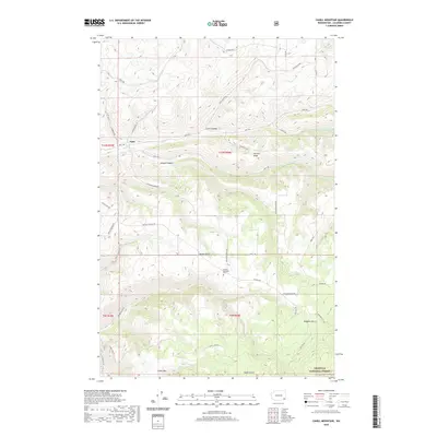 2020 Cahill Mountain2020 Print · USGSSoutheast Washington's high ridges and deep canyons come into focus in this recent survey of Columbia County. Genealogists and local historians can trace the geography of Patit and locate the Pioneer Memorial Park or the heights of Cahill Mtn.
 - 2023 Map of Cahill Mountain, 2023 Print
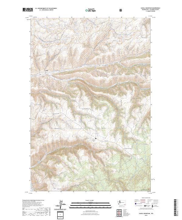 2023 Cahill Mountain2023 Print · USGSColumbia County highlands come into focus in this contemporary survey of the terrain surrounding Patit and the Umatilla NF. Researchers can trace the winding paths of Skyline Dr and Malcolm Grade Rd through Cougar Canyon and past Cahill Mtn.
End of results
Showing maps 1-13 of 13
Top cities near Patit
Frequently asked questions
- What are the different types of historical maps available for Patit?
- What is the oldest map of Patit?
- Where can I purchase historical maps of Patit for my home or office?
- Where can I download high-res historical maps of Patit?
- Are there historical topographic maps available for Patit?
- Is there historical aerial imagery available for Patit?
- Where are historical maps of Patit sourced from?